Hatherton Wood
Wood, Forest in Staffordshire South Staffordshire
England
Hatherton Wood
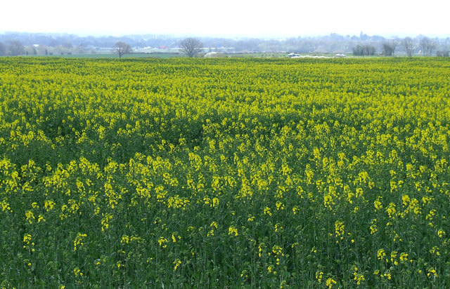
Hatherton Wood, located in Staffordshire, England, is a charming woodland area that spans across approximately 150 acres. The wood is situated near the village of Hatherton and is a popular destination for nature enthusiasts and walkers alike.
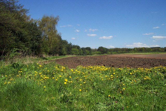
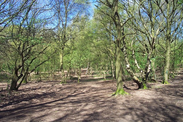
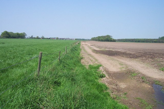
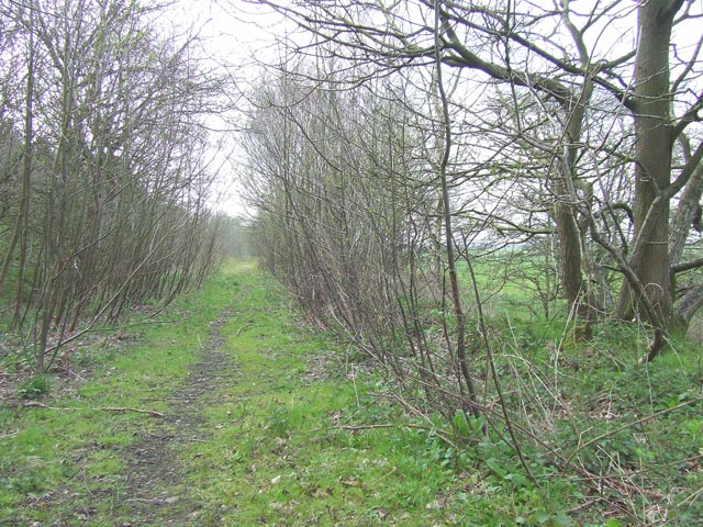
The wood is predominantly made up of broadleaf trees such as oak, beech, and birch, creating a picturesque and diverse landscape. These trees provide a natural habitat for a variety of wildlife including birds, squirrels, and deer, making it a haven for nature lovers and bird-watchers.
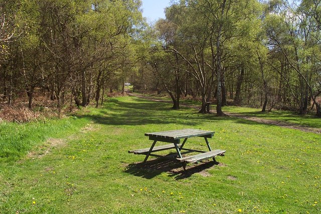
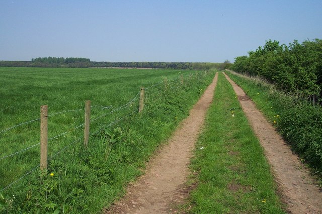
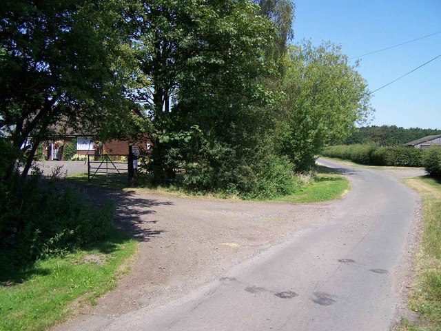
A network of well-maintained footpaths and trails crisscross the wood, allowing visitors to explore its beauty at their own pace. The paths wind through the dense tree cover, offering glimpses of sunlight filtering through the leaves and creating a tranquil and serene atmosphere.
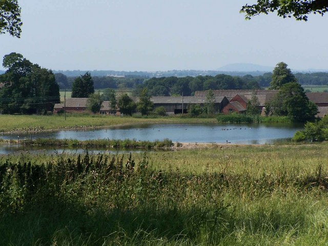
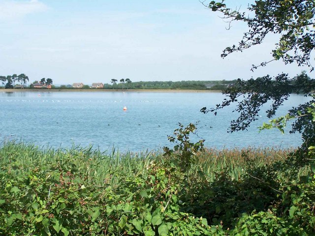
Hatherton Wood also boasts a small pond, adding to its natural charm. The pond is home to various species of aquatic plants and insects, providing a fascinating insight into the local ecosystem.
The wood is open to the public year-round, with no admission fee, making it an accessible and affordable destination for all. Visitors can enjoy leisurely walks, picnics, or simply sit and soak in the peaceful surroundings.
Overall, Hatherton Wood is a delightful woodland area in Staffordshire, offering a peaceful retreat for those seeking to reconnect with nature. Its natural beauty, diverse flora and fauna, and well-maintained paths make it a must-visit destination for outdoor enthusiasts and those looking for a tranquil escape from the bustle of everyday life.
If you have any feedback on the listing, please let us know in the comments section below.
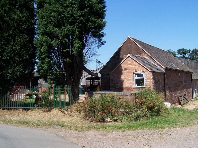
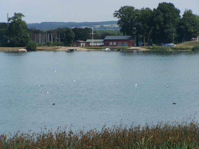
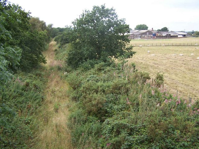
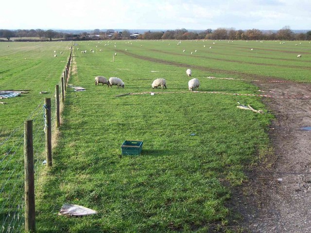
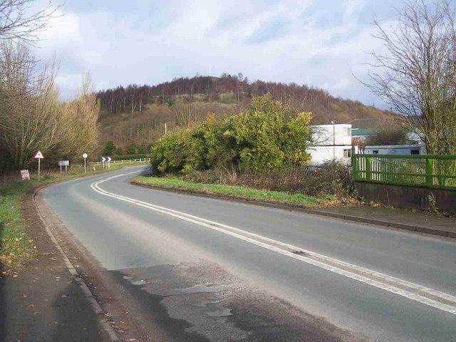
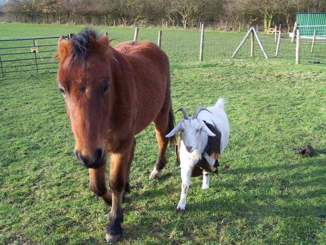
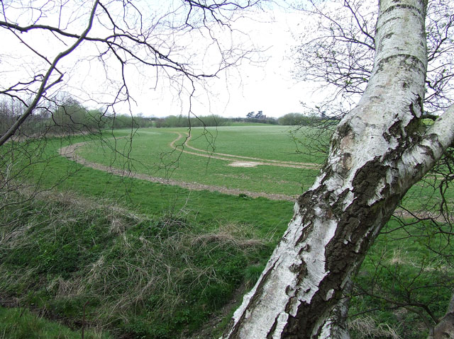
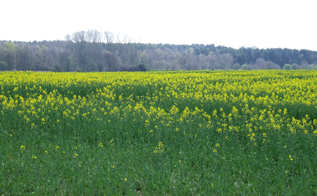
Hatherton Wood Images
Images are sourced within 2km of 52.698258/-2.0707778 or Grid Reference SJ9511. Thanks to Geograph Open Source API. All images are credited.
Hatherton Wood is located at Grid Ref: SJ9511 (Lat: 52.698258, Lng: -2.0707778)
Administrative County: Staffordshire
District: South Staffordshire
Police Authority: Staffordshire
What 3 Words
///hatch.forget.punk. Near Cannock, Staffordshire
Nearby Locations
Related Wikis

Hatherton, Staffordshire
Hatherton is a settlement and civil parish located 3+1⁄4 miles (5.2 km) south-east of Penkridge, and on the western edge of modern-day Cannock, Staffordshire...

Cannock Hockey Club
Cannock Hockey Club are an English professional field hockey team. They were established in 1905, and are based in the village of Hatherton, near Cannock...

Four Crosses, Staffordshire
Four Crosses in South Staffordshire, Staffordshire, England. Is a scattered hamlet located between Cannock and Wolverhampton. As well as Penkridge and...

Cuttleston
Cuttleston or Cuttlestone is a hundred in the county of Staffordshire, England, located in the centre of that county, south of Stafford. Cuttleston was...
Gailey Reservoirs
Gailey Reservoir is a pair of canal feeder reservoirs in South Staffordshire, separated by a dam, and owned by the Canal & River Trust. Gailey Upper Reservoir...
Pillaton Hall
Pillaton Hall was an historic house located in Pillaton, Staffordshire, near Penkridge, England. For more than two centuries it was the seat of the Littleton...
Pillaton, Staffordshire
Pillaton is a small village in Staffordshire, England, nearby to Penkridge and lying on the B5012 road between Cannock and Penkridge. It falls under the...

Cardinal Griffin Catholic College
Cardinal Griffin Catholic College is a coeducational Catholic Secondary school and sixth form located in Cannock, Staffordshire, England. == History... ==
Have you been to Hatherton Wood?
Leave your review of Hatherton Wood below (or comments, questions and feedback).