Sandy Flatts
Wood, Forest in Staffordshire South Staffordshire
England
Sandy Flatts
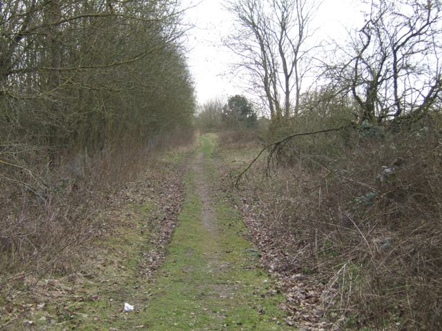
Sandy Flatts is a rural area located in Staffordshire, England. Nestled within the Staffordshire Moorlands, it is known for its picturesque woodlands and enchanting forests. The name "Sandy Flatts" is derived from the sandy soil composition found in the region, which contributes to the unique ecosystem and vegetation.
Covering an area of approximately 15 square miles, Sandy Flatts offers a diverse range of flora and fauna. The woodlands are predominantly made up of oak, birch, and beech trees, creating a dense and lush forest environment. These woodlands are home to a variety of wildlife, including deer, foxes, badgers, and a wide array of bird species.
The area is a popular destination for nature enthusiasts and hikers, with several walking trails and footpaths winding through the forests. These trails allow visitors to explore the beauty of Sandy Flatts, observing the natural landscapes and enjoying the tranquility of the surroundings.
Sandy Flatts also boasts a rich history, with archaeological evidence suggesting human habitation in the area dating back to prehistoric times. The remains of ancient settlements and burial sites can still be found within the woods, providing a glimpse into the region's past.
In addition to its natural and historical attractions, Sandy Flatts is home to a small community of residents. The village is characterized by charming cottages and farmhouses, giving it a quaint and idyllic atmosphere.
Overall, Sandy Flatts in Staffordshire is a hidden gem for nature lovers, offering a peaceful escape from the hustle and bustle of urban life.
If you have any feedback on the listing, please let us know in the comments section below.
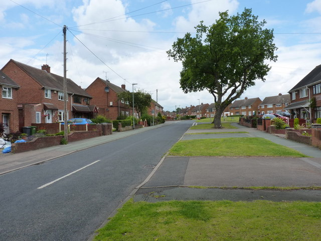
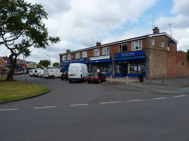
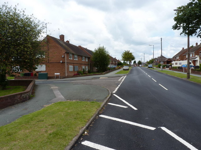
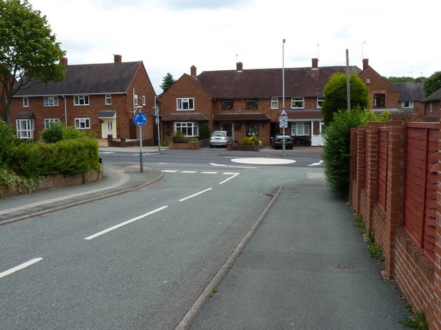
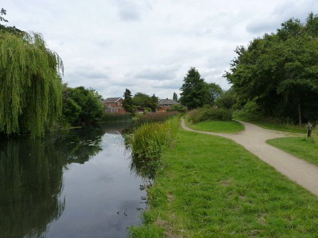
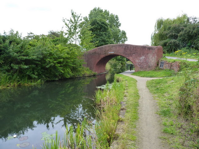
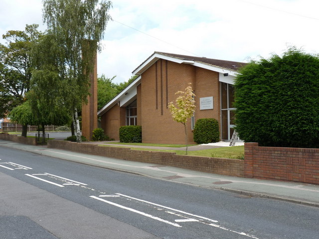
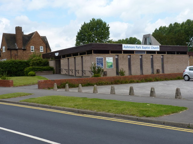
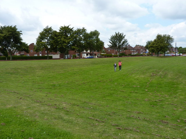
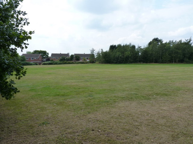
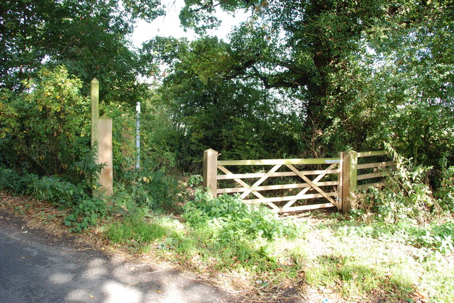
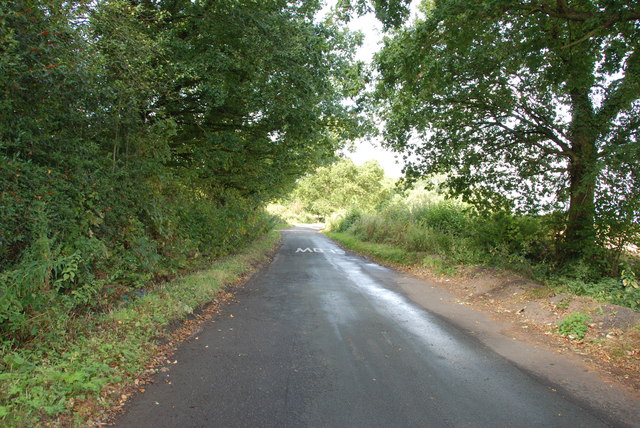
Sandy Flatts Images
Images are sourced within 2km of 52.627482/-2.0707518 or Grid Reference SJ9503. Thanks to Geograph Open Source API. All images are credited.


Sandy Flatts is located at Grid Ref: SJ9503 (Lat: 52.627482, Lng: -2.0707518)
Administrative County: Staffordshire
District: South Staffordshire
Police Authority: Staffordshire
What 3 Words
///churn.glossed.steaming. Near Essington, Staffordshire
Nearby Locations
Related Wikis

Essington Hall Farmhouse
Essington Hall Farmhouse is a grade II listed building in Essington, Staffordshire. == See also == Listed buildings in Essington == References ==

Essington
Essington is a village and civil parish in South Staffordshire, England, located near the city of Wolverhampton and towns of Walsall, Bloxwich, Cannock...
Wednesfield North (ward)
Wednesfield North is a ward of Wolverhampton City Council, West Midlands. As the name suggests, it covers the northern parts of the town of Wednesfield...

Hilton Park services
Hilton Park services is a motorway service station, between junctions 10a and 11 of the M6 motorway in Staffordshire, England. The nearest city is Wolverhampton...
Hilton Hall
Hilton Hall is an 18th-century mansion house now in use as an Office and Business Centre at Hilton, near Wolverhampton, in Staffordshire. It is a Grade...
Coppice Performing Arts School
Coppice Performing Arts School is an 11–18 mixed secondary school and sixth form with academy status in Wednesfield, Wolverhampton, West Midlands, England...
Wood End, Wolverhampton
Wood End is a suburb of Wolverhampton, West Midlands, England. It is situated to the north-east of the city centre, adjacent to the border with Staffordshire...

Featherstone, Staffordshire
Featherstone is a town in the district of South Staffordshire, England, near to the border with Wolverhampton. == History == Originally a farming community...
Nearby Amenities
Located within 500m of 52.627482,-2.0707518Have you been to Sandy Flatts?
Leave your review of Sandy Flatts below (or comments, questions and feedback).