Gore Copse
Wood, Forest in Wiltshire
England
Gore Copse
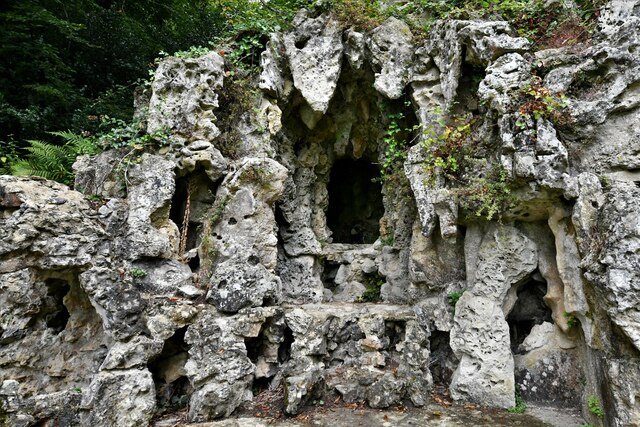
Gore Copse is a picturesque wood located in the county of Wiltshire, England. Situated near the village of Pewsey, this forested area covers an approximate area of 20 hectares. It is part of the larger Savernake Forest, which is renowned for its natural beauty and rich biodiversity.
Gore Copse is characterized by its dense woodland, consisting mainly of beech and oak trees. The forest floor is covered in a thick carpet of mosses, ferns, and wildflowers, creating a vibrant and enchanting atmosphere. The trees tower above, providing a canopy of shade and shelter for various wildlife species.
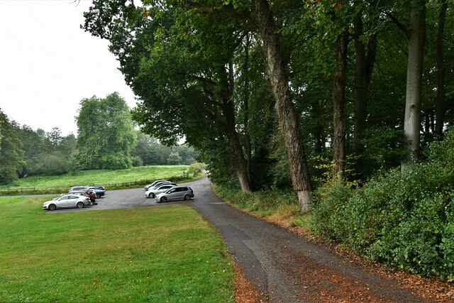
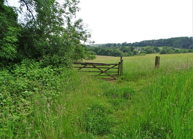
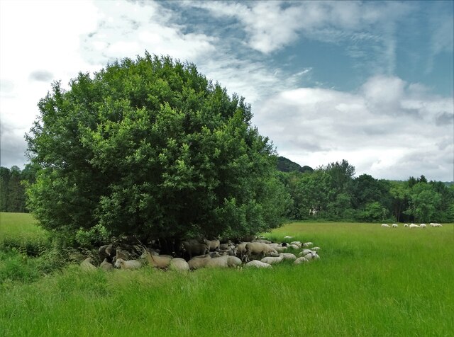
The wood is intersected by a network of walking trails, allowing visitors to explore its natural wonders. These paths guide visitors through the heart of the forest, offering glimpses of the abundant flora and fauna that inhabit the area. It is not uncommon to spot deer, squirrels, and various bird species, adding to the allure of this woodland retreat.
Gore Copse is a popular destination for nature enthusiasts, hikers, and picnickers alike. The tranquil surroundings and peaceful ambiance make it an ideal spot for relaxation and reconnecting with nature. Visitors can enjoy a leisurely stroll through the forest, or find a secluded spot to sit and admire the beauty of their surroundings.
Overall, Gore Copse is a hidden gem within the county of Wiltshire. Its natural charm and diverse ecosystem make it a haven for wildlife and a delight for those seeking a peaceful escape in the heart of nature.
If you have any feedback on the listing, please let us know in the comments section below.
Gore Copse Images
Images are sourced within 2km of 51.036552/-2.0694051 or Grid Reference ST9526. Thanks to Geograph Open Source API. All images are credited.

Gore Copse is located at Grid Ref: ST9526 (Lat: 51.036552, Lng: -2.0694051)
Unitary Authority: Wiltshire
Police Authority: Wiltshire
What 3 Words
///closets.feasted.frogs. Near Ansty, Wiltshire
Nearby Locations
Related Wikis

Ansty Coombe
Ansty Coombe is a hamlet in Ansty parish, in southwest Wiltshire, England. It lies about six miles (10 km) east of Shaftesbury, Dorset. == Sources... ==
Ansty, Wiltshire
Ansty is a small village and civil parish in southwest Wiltshire, England, about 6 miles (10 km) east of Shaftesbury. The village is just north of the...

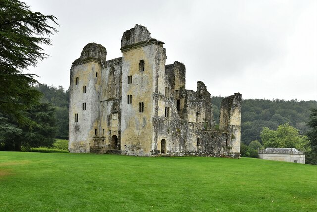
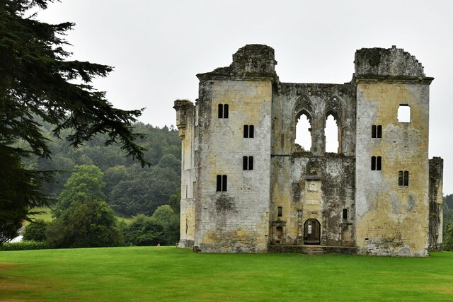
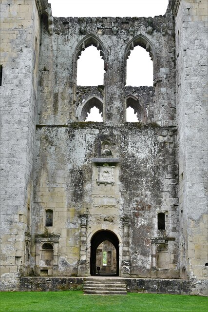
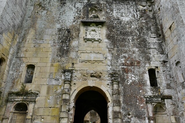
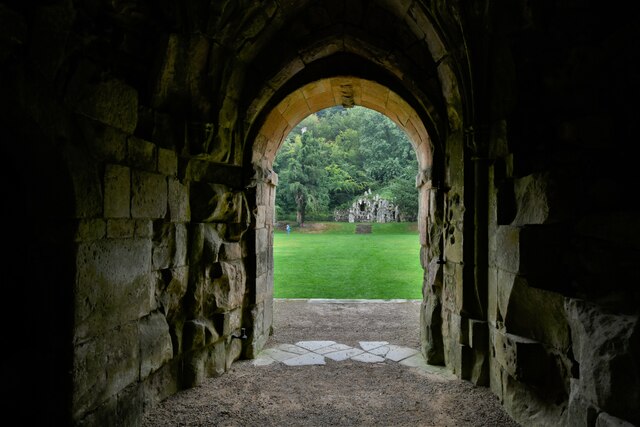
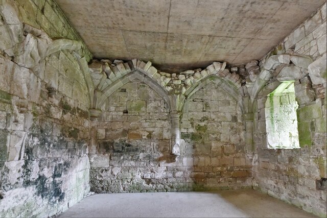
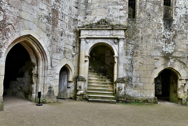
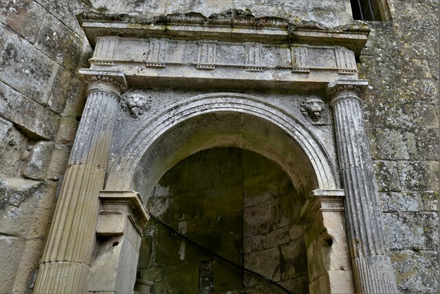
Wardour Castle
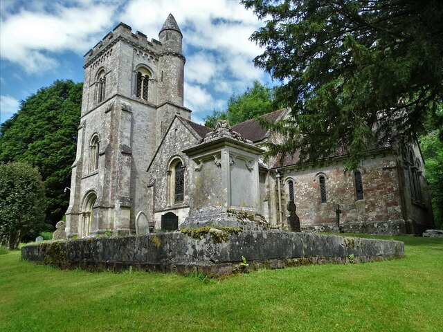
Wardour Castle or Old Wardour Castle is a ruined 14th-century castle at Wardour, on the boundaries of the civil parishes of Tisbury and Donhead St Andrew...
Siege of Wardour Castle
Wardour Castle in Wiltshire, England, was besieged twice during the First English Civil War; once in May 1643, and then again between November 1643 and...

Swallowcliffe
Swallowcliffe is a small village and civil parish in Wiltshire, England, about 2 miles (3.2 km) southeast of Tisbury and 11 miles (18 km) west of Salisbury...
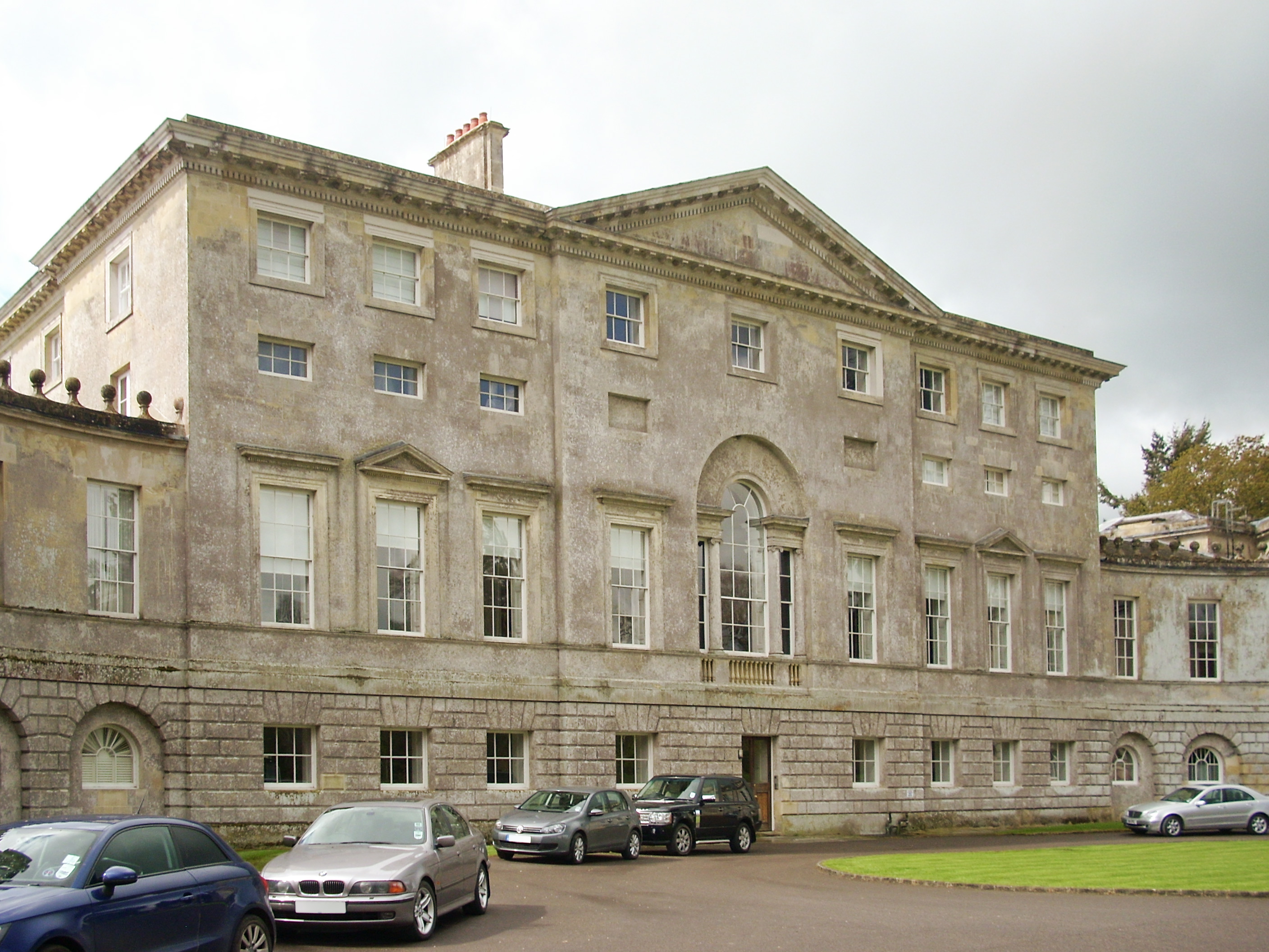
New Wardour Castle
New Wardour Castle is a Grade I listed English country house at Wardour, near Tisbury in Wiltshire, built for the Arundell family. The house is of Palladian...
Cranborne Chase School
Cranborne Chase School was an independent boarding school for girls, and was located in the English counties of Dorset and (later) Wiltshire, between 1946...

Gallows Hill SSSI, Wiltshire
Gallows Hill SSSI is a Site of Special Scientific Interest on the north side of the Ebble Valley in south Wiltshire, England. Its chalk grassland and scrub...
Nearby Amenities
Located within 500m of 51.036552,-2.0694051Have you been to Gore Copse?
Leave your review of Gore Copse below (or comments, questions and feedback).