Raffen Gill Plantation

Wood, Forest in Yorkshire Richmondshire

England

Raffen Gill Plantation

Kidstones Gill Bridge This top stone is on the western parapet of Kidstones Gill Bridge in Bishopdale. The benchmark is still very well defined.
Kidstones Gill Bridge Credit: Mel Towler

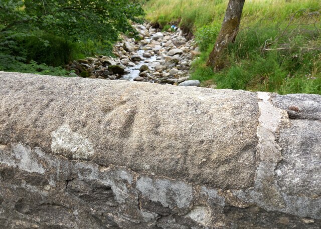
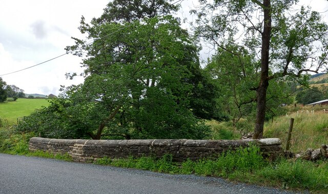
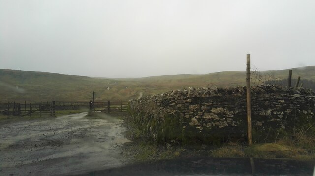
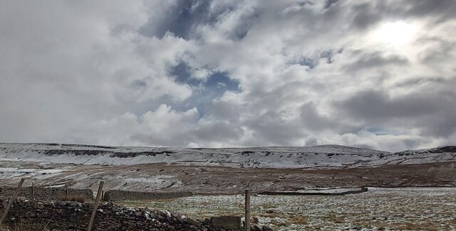
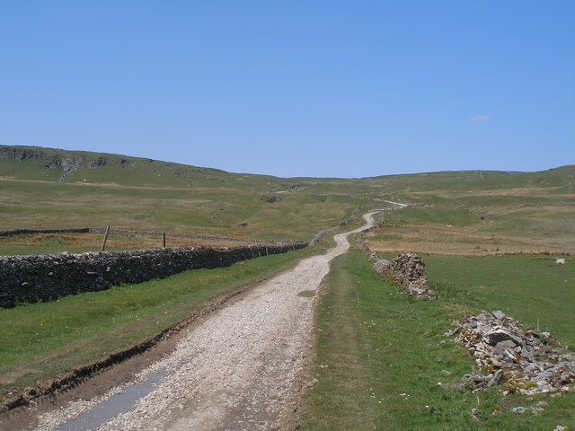
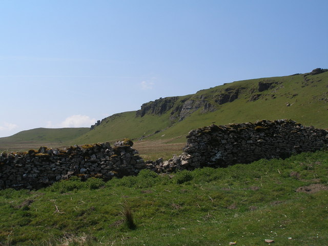
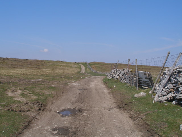
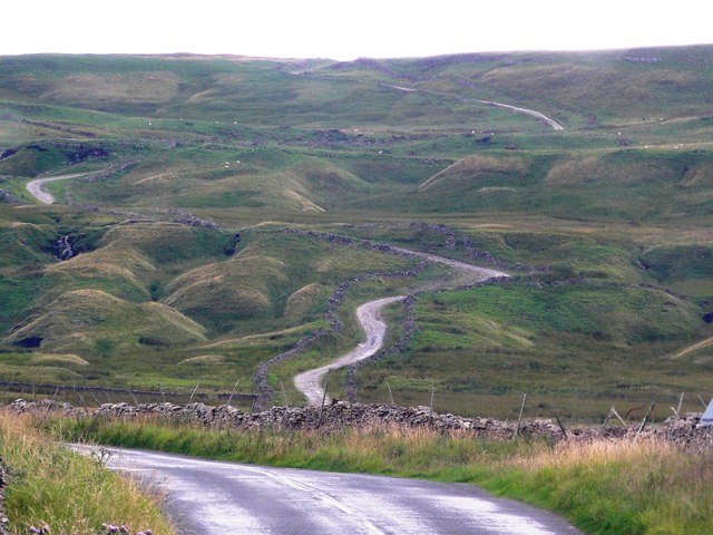
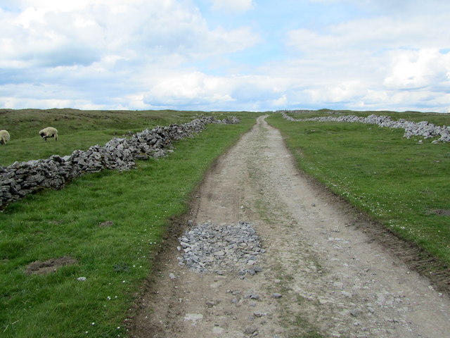
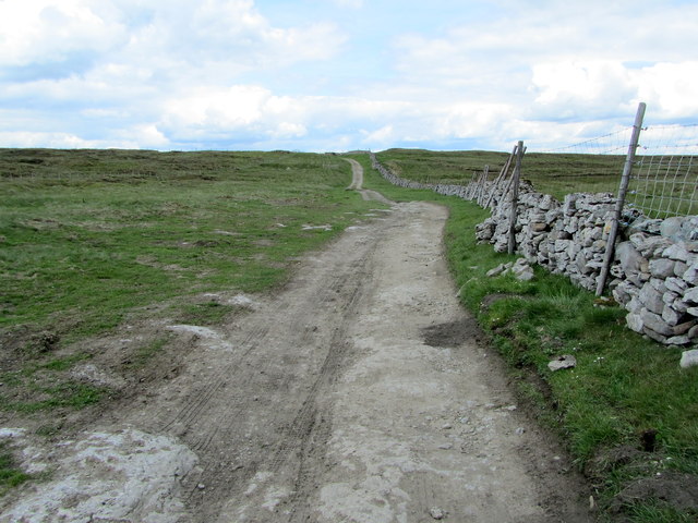
Raffen Gill Plantation is a picturesque woodland located in Yorkshire, England. Situated in the heart of the Yorkshire Dales, this enchanting forest covers a vast area and is known for its natural beauty and diverse ecosystem. The plantation is nestled within the Raffen Gill Valley, surrounded by rolling hills and stunning scenery.

The woodland is primarily composed of oak and birch trees, providing a dense canopy that creates a tranquil atmosphere. The forest floor is carpeted with a variety of mosses, ferns, and wildflowers, adding bursts of color to the landscape. Raffen Gill Plantation is also home to a vibrant array of wildlife, including deer, badgers, foxes, and a wide range of bird species.

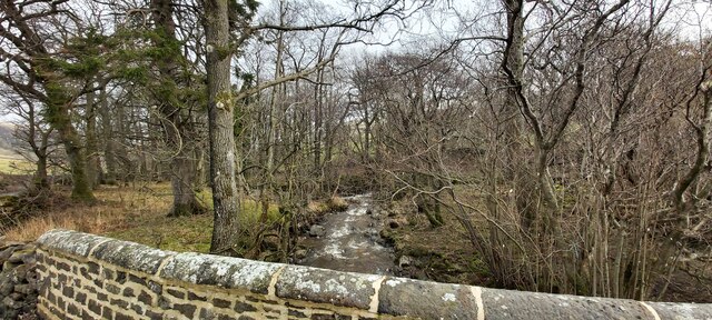
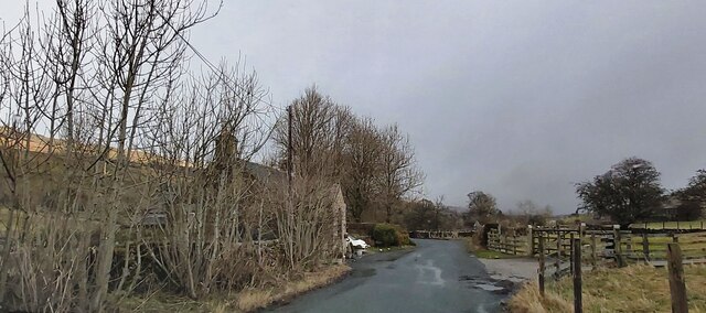
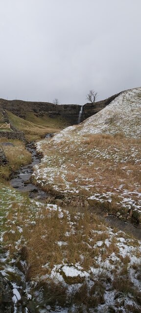
Visitors to the plantation can enjoy a network of well-maintained walking trails that wind through the forest, offering opportunities for exploration and relaxation. The trails vary in difficulty, catering to both casual strollers and seasoned hikers. Along the way, visitors may stumble upon babbling brooks, small waterfalls, and hidden glades, creating a sense of discovery.

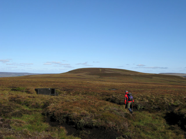
Raffen Gill Plantation is a popular destination for nature enthusiasts, photographers, and those seeking a peaceful retreat from the hustle and bustle of everyday life. The plantation's serene ambiance, combined with its natural beauty, makes it an ideal location for walking, birdwatching, or simply immersing oneself in the tranquility of the Yorkshire countryside.

If you have any feedback on the listing, please let us know in the comments section below.

Raffen Gill Plantation Images

Images are sourced within 2km of 54.22953/-2.074685 or Grid Reference SD9581. Thanks to Geograph Open Source API. All images are credited.

Kidstones Gill Bridge This top stone is on the western parapet of Kidstones Gill Bridge in Bishopdale. The benchmark is still very well defined.
Kidstones Gill Bridge
This top stone is on the western parapet of Kidstones Gill Bridge in Bishopdale. The benchmark is still very well defined.
Kidstones Gill Bridge A wider angle showing the full span of the western parapet of Kidstones Gill Bridge in Bishopdale. There is a benchmark cut into one of the top stones on this parapet, and it remains very clear and defined.
Kidstones Gill Bridge
A wider angle showing the full span of the western parapet of Kidstones Gill Bridge in Bishopdale. There is a benchmark cut into one of the top stones on this parapet, and it remains very clear and defined.
Bishopdale, old schoolhouse The old schoolhouse is on the west side of the B6160, Bishopdale Lane. On the road facing wall, to the left, there is a benchmark cut into the 2nd and 3rd stone courses. It remains very clear with no wear.
Bishopdale, old schoolhouse
The old schoolhouse is on the west side of the B6160, Bishopdale Lane. On the road facing wall, to the left, there is a benchmark cut into the 2nd and 3rd stone courses. It remains very clear with no wear.
Bishopdale, old schoolhouse A wider angle showing the old schoolhouse, which is now converted into a private home, which is on the west side of the B6160, Bishopdale Lane. On the road facing wall, to the left of the grey front door, is a benchmark cut into the 2nd and 3rd stone courses. It remains very clear with no wear.
Bishopdale, old schoolhouse
A wider angle showing the old schoolhouse, which is now converted into a private home, which is on the west side of the B6160, Bishopdale Lane. On the road facing wall, to the left of the grey front door, is a benchmark cut into the 2nd and 3rd stone courses. It remains very clear with no wear.
Kidstones Bank A photograph taken looking north from the bottom of Kidstones Bank, up the lane leading onto Kidstones Fell.
Kidstones Bank
A photograph taken looking north from the bottom of Kidstones Bank, up the lane leading onto Kidstones Fell.
Kidstones Gill
Kidstones Gill
Farm Entrance on Kidstones Bank
Kidstones Bank
Kidstones Bank
Causeway Moss
Causeway Moss
The Old School House - Bishopdale
Waterfall at Cray High Bridge
Walker approaching grouse butt on heather moor The location is the broad moorland ridge between Buckden Pike and Naughtberry Hill, which is the hill beyond. The ground is managed as a grouse moor which is apparent for a number of reasons.
Walker approaching grouse butt on heather moor
The location is the broad moorland ridge between Buckden Pike and Naughtberry Hill, which is the hill beyond. The ground is managed as a grouse moor which is apparent for a number of reasons.
Gilbert Lane at Causeway Moss
Crags above Middle Pasture from Gilbert Lane
Gilbert Lane
Gilbert Lane
The long and winding road. Gilbert Lane at Causeway Moss
On Gilbert Lane Ancient route between Wharfedale and Wensleydale that crosses over Kidstones and Stake Moss - seen here close to its highest point.
On Gilbert Lane
Ancient route between Wharfedale and Wensleydale that crosses over Kidstones and Stake Moss - seen here close to its highest point.
Gilbert Lane The ancient track approaching its highest point on its journey between Wharfedale and Wensleydale.
Gilbert Lane
The ancient track approaching its highest point on its journey between Wharfedale and Wensleydale.
Show me another place!

Raffen Gill Plantation is located at Grid Ref: SD9581 (Lat: 54.22953, Lng: -2.074685)

Division: North Riding

Administrative County: North Yorkshire

District: Richmondshire

Police Authority: North Yorkshire

What 3 Words

///fury.celebrate.masks. Near Leyburn, North Yorkshire

Related Wikis

Bishopdale, North Yorkshire

Bishopdale is a dale in the Yorkshire Dales National Park in North Yorkshire, England. The dale is a side dale on the south side of Wensleydale, and extends...

Cray, North Yorkshire

Cray is a hamlet on the B6160 road on a steep hill above Wharfedale in the Yorkshire Dales, North Yorkshire, England. It is near Buckden and the River...

Buckden Pike

Buckden Pike is a fell at the head of Wharfedale, a valley in the Yorkshire Dales, that stands above the village of Buckden, England. At 702 metres (2...

Walden Head

Walden Head is a hamlet in the Yorkshire Dales, North Yorkshire. It lies 5 miles (8 km) of Aysgarth and to the north is a similar village Walden. The village...

Yorkshire Dales

The Yorkshire Dales are an upland area of the Pennines in England. Most of the area is in the county of North Yorkshire, but it extends into Cumbria and...

Hubberholme

Hubberholme is an old village in Upper Wharfedale in the Yorkshire Dales, North Yorkshire, England, at the point where Langstrothdale meets Wharfedale...

Buckden, North Yorkshire

Buckden is a village and civil parish in the Craven district of North Yorkshire, England. Historically part of the West Riding of Yorkshire, Buckden is...

Langstrothdale

Langstrothdale is a scenic valley in the Yorkshire Dales in North Yorkshire, England. The uppermost course of the River Wharfe runs through it, but Wharfedale...

Nearby Amenities

Located within 500m of 54.22953,-2.074685
Kidstones
Is In County: North Yorkshire
Is In Municipality: Richmondshire
Place: hamlet
Source: os_25k_firstseries
Lat/Long: 54.2314793/-2.0695121
Power: pole
Lat/Long: 54.2320553/-2.0683181
Power: pole
Lat/Long: 54.2316505/-2.0685038
Power: pole
Lat/Long: 54.2307249/-2.0680044
Power: pole
Lat/Long: 54.2297921/-2.0675201
Power: pole
Lat/Long: 54.2289736/-2.067081
Power: pole
Lat/Long: 54.2279857/-2.0676744
Power: pole
Lat/Long: 54.2271987/-2.0681725
The data included in this document is from www.openstreetmap.org. The data is made available under ODbL.

Have you been to Raffen Gill Plantation?

Leave your review of Raffen Gill Plantation below (or comments, questions and feedback).