Reedshaw Moss

Wood, Forest in Yorkshire Craven

England

Reedshaw Moss

The Pennine Way near Ickornshaw
The Pennine Way near Ickornshaw Credit: Dave Kelly

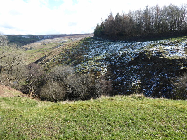
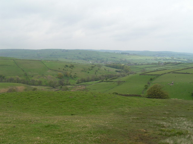
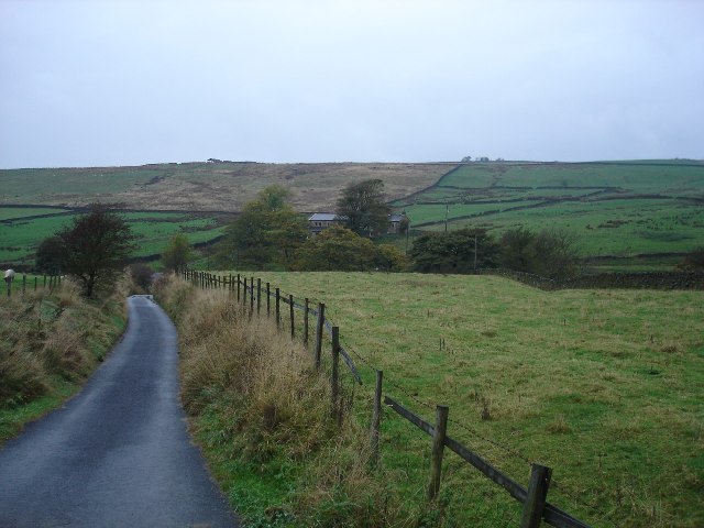
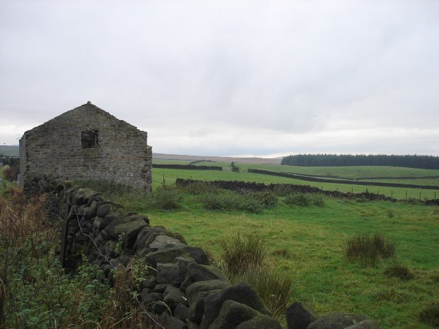
Reedshaw Moss, located in Yorkshire, is a captivating woodland area renowned for its natural beauty and rich ecological diversity. This ancient forest, stretching over 300 acres, is nestled in the heart of the county and offers a haven for wildlife enthusiasts and nature lovers alike.

The moss is predominantly made up of dense deciduous and coniferous trees, creating a lush and vibrant canopy that provides shelter for a wide variety of flora and fauna. Towering oak, beech, and ash trees dominate the landscape, while spruces and pines add contrasting shades of green.

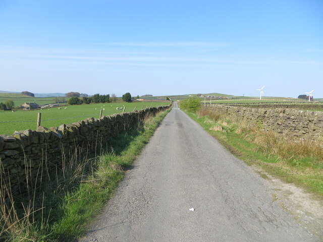
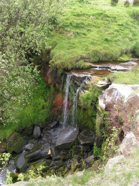
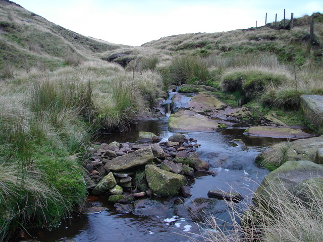
One of the most striking features of Reedshaw Moss is its network of walking trails that crisscross the woodland, providing visitors with the opportunity to explore its hidden gems. The trails wind through enchanting groves, babbling brooks, and meadows adorned with wildflowers, offering a truly immersive experience in nature.

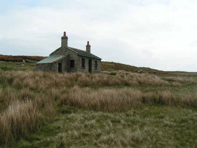
The moss is also home to an array of wildlife species. Birdwatchers can spot an assortment of birds, including woodpeckers, owls, and thrushes, while small mammals such as squirrels and hedgehogs scurry through the undergrowth. Keen-eyed visitors may even catch a glimpse of elusive deer or foxes.

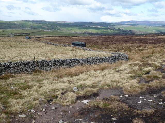
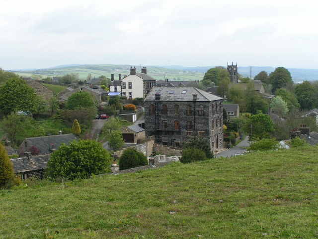
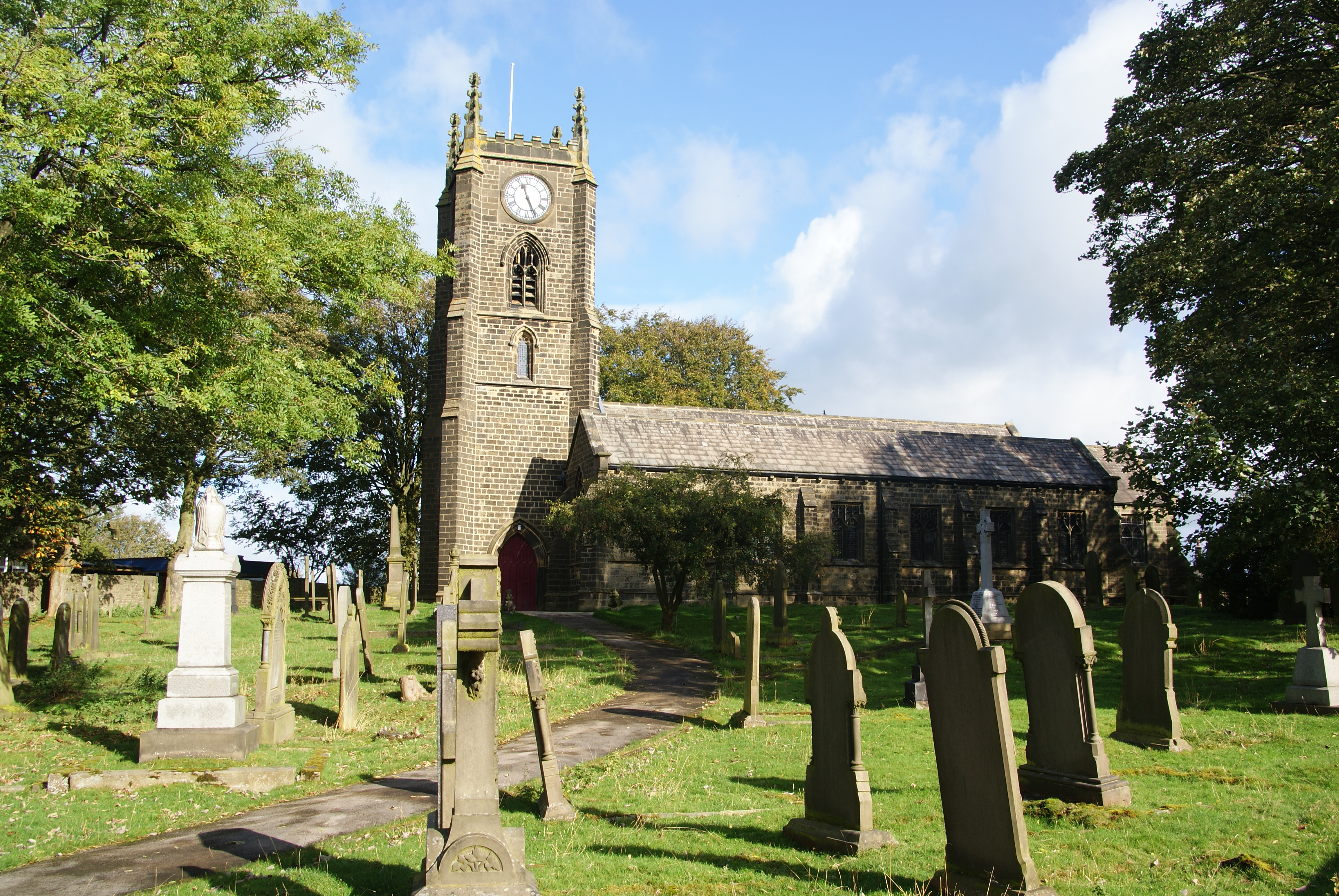
Reedshaw Moss is a cherished natural treasure in Yorkshire, attracting visitors from far and wide. It provides a tranquil escape from the bustling city life, allowing visitors to immerse themselves in the beauty of nature and experience the serenity that only a woodland can offer.

If you have any feedback on the listing, please let us know in the comments section below.

Reedshaw Moss Images

Images are sourced within 2km of 53.872139/-2.0758088 or Grid Reference SD9541. Thanks to Geograph Open Source API. All images are credited.

The Pennine Way near Ickornshaw
The Pennine Way near Lumb
The Pennine Way near High End Lowe
Sandyforth Lane approaching Mosside Looking south-westward.
Sandyforth Lane approaching Mosside
Looking south-westward.
Wall and fence enclosed Moss End Lane Looking north-westward.
Wall and fence enclosed Moss End Lane
Looking north-westward.
Ordnance Survey Cut Mark Surface Block This mark and block can be found in the grass verge of Sandyforth Lane near to Mosside.
The recorded details give  a height of 297.116 metres above sea level.
For more detail see : <span class="nowrap"><a title="https://www.bench-marks.org.uk/bm119214" rel="nofollow ugc noopener" href="https://www.bench-marks.org.uk/bm119214">Link</a><img style="margin-left:2px;" alt="External link" title="External link - shift click to open in new window" src="https://s1.geograph.org.uk/img/external.png" width="10" height="10"/></span>
Ordnance Survey Cut Mark Surface Block
This mark and block can be found in the grass verge of Sandyforth Lane near to Mosside. The recorded details give a height of 297.116 metres above sea level. For more detail see : LinkExternal link
Old milestone This West Riding County Council milestone set up in 1893/94 is now just on the Lancashire border.  The grass had to be trampled down to reveal the milestone and it also revealed a discarded NHS crutch!  It is on the north side of the A6068 Colne Road/Keighley Road near the bus-stop.  This left face has mileages to Keighley, Addingham and Ilkley with Colne and Burnley on the right-hand side.  With Cowling on the header it is possible that there has been a slight change to the boundary since the late 19C.
Old milestone
This West Riding County Council milestone set up in 1893/94 is now just on the Lancashire border. The grass had to be trampled down to reveal the milestone and it also revealed a discarded NHS crutch! It is on the north side of the A6068 Colne Road/Keighley Road near the bus-stop. This left face has mileages to Keighley, Addingham and Ilkley with Colne and Burnley on the right-hand side. With Cowling on the header it is possible that there has been a slight change to the boundary since the late 19C.
Shooting Hut, Ickornshaw Moor This shooting hut is just in SD9640 - the sheep are probably in SD9641! The hut is known as the New Stone Hut - see <span class="nowrap"><a title="http://www.cowlingweb.co.uk/oldgallery/displayimage.asp?imageID=1743" rel="nofollow ugc noopener" href="http://www.cowlingweb.co.uk/oldgallery/displayimage.asp?imageID=1743">Link</a><img style="margin-left:2px;" alt="External link" title="External link - shift click to open in new window" src="https://s1.geograph.org.uk/img/external.png" width="10" height="10"/></span> for a picture of the grand opening in 1902. The lean-to appears to be a more modern addition.
Shooting Hut, Ickornshaw Moor
This shooting hut is just in SD9640 - the sheep are probably in SD9641! The hut is known as the New Stone Hut - see LinkExternal link for a picture of the grand opening in 1902. The lean-to appears to be a more modern addition.
View from Eller Hill Looking north from the Pennine Way
View from Eller Hill
Looking north from the Pennine Way
Ickornshaw from the Pennine Way Looking northeast from approx. SD965428. Cowling church (SD968431) is in the background.
Ickornshaw from the Pennine Way
Looking northeast from approx. SD965428. Cowling church (SD968431) is in the background.
Waterfall below Lumb Farm From the Pennine Way
Waterfall below Lumb Farm
From the Pennine Way
Steep sided valley Lane House Beck runs along the bottom of the steep valley, with a narrow strip of woodland running along the southern side.
Steep sided valley
Lane House Beck runs along the bottom of the steep valley, with a narrow strip of woodland running along the southern side.
Track / public footpath at Westfield Farm
Beck Foot Farm Lurking in the trees at the centre of the picture is Beck Foot farm
Beck Foot Farm
Lurking in the trees at the centre of the picture is Beck Foot farm
Milepost on the A6068 Somewhat neglected and hidden in the weeds on the roadside verge, the milepost reads: Blackburn Addingham and Cocking End Road Cowling
Milepost on the A6068
Somewhat neglected and hidden in the weeds on the roadside verge, the milepost reads: Blackburn Addingham and Cocking End Road Cowling
A6068 at Hey, west of Cowling Looking west towards Cowling, the milepost is on the opposite side of the road.
A6068 at Hey, west of Cowling
Looking west towards Cowling, the milepost is on the opposite side of the road.
Derelict barn at Pad Cote Reedshaw Moss plantation is on the right hand side in the distance
Derelict barn at Pad Cote
Reedshaw Moss plantation is on the right hand side in the distance
Show me another place!

Reedshaw Moss is located at Grid Ref: SD9541 (Lat: 53.872139, Lng: -2.0758088)

Division: West Riding

Administrative County: North Yorkshire

District: Craven

Police Authority: North Yorkshire

What 3 Words

///colleague.jumbo.reddish. Near Glusburn, North Yorkshire

Nearby Locations

Reedshaw Moss

Related Wikis

Middleton, Cowling

Middleton is a hamlet in the Craven district of North Yorkshire, England, part of the civil parish of Cowling. It is near the border with West Yorkshire...

Cowling, Craven

Cowling is a village, electoral division and civil parish in the Craven district of North Yorkshire, England. It is situated on the borders with the adjacent...

River Laneshaw

The River Laneshaw is a river in Northern England. It runs for 1.9 miles (3 km) from Laneshaw Reservoir to Laneshaw Bridge alongside the A6068 road and...
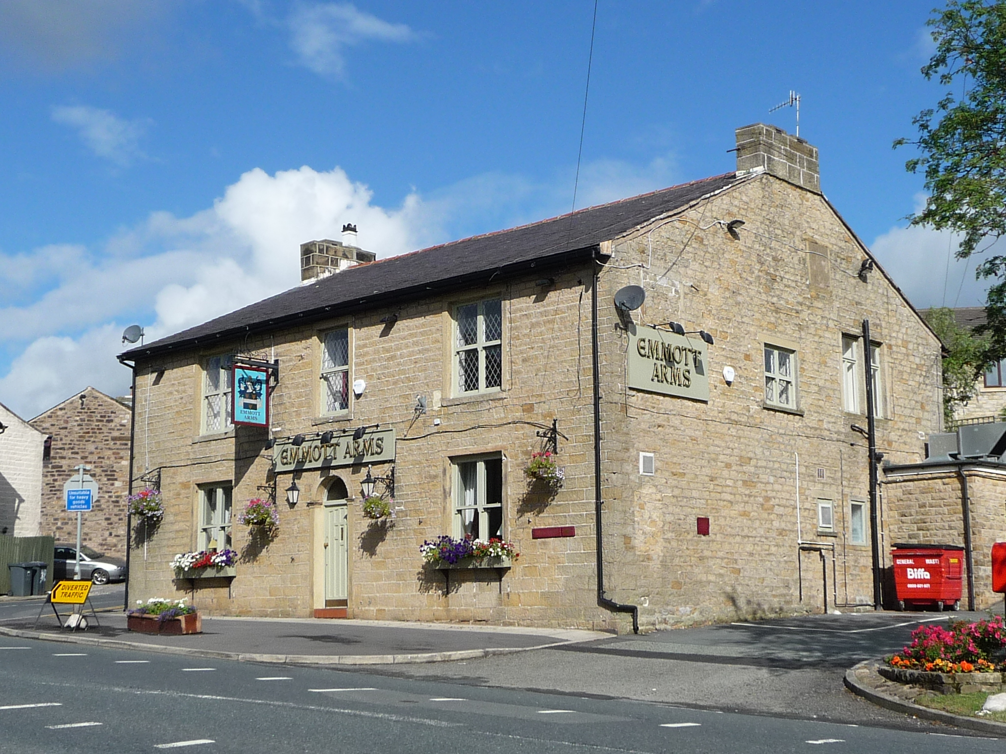
Emmott Hall

Emmott Hall was a country house in the village of Laneshawbridge, Colne, Lancashire, England. It stood on high ground two and a half miles east of Colne...

Laneshaw Bridge

Laneshawbridge (otherwise Laneshaw Bridge) is a village and civil parish in the Borough of Pendle in England. The population of the civil parish at the...

Wycoller Beck

Wycoller Beck is a stream in Lancashire, running through Wycoller Country Park and the village of Wycoller in Pendle. It is 3.76 miles (6.05 km) long and...
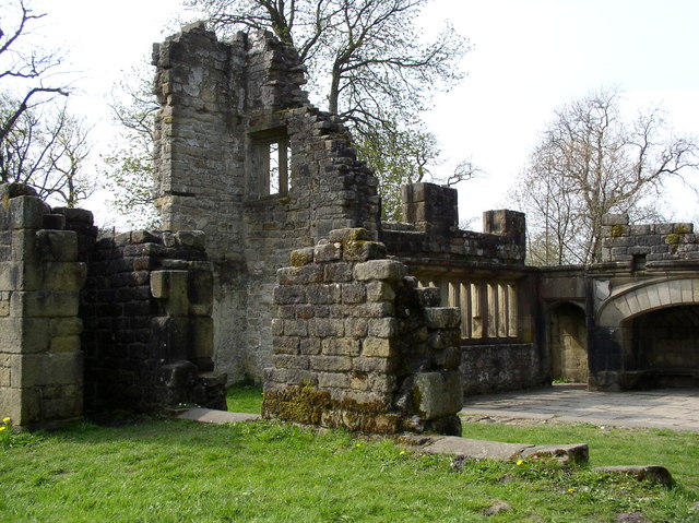
Wycoller Hall

Wycoller Hall was a late sixteenth-century manor house in the village of Wycoller, Lancashire, England. The hall was the centre of a sizeable estate but...

Wycoller

Wycoller is a village in the civil parish of Trawden Forest in Pendle, Lancashire, England. It is 3 miles (4.8 km) east of Colne, near to the junction...

Nearby Amenities

Located within 500m of 53.872139,-2.0758088
Readshaw Moss
Is In Country: UK
Natural: wetland
Source: NPE
Wetland: peat_bog
Lat/Long: 53.8729974/-2.0761698
Parking
Description: Layby
Ele: 252.0000000
Lat/Long: 53.8762715/-2.0762481
The data included in this document is from www.openstreetmap.org. The data is made available under ODbL.

Have you been to Reedshaw Moss?

Leave your review of Reedshaw Moss below (or comments, questions and feedback).