Ash Plantation
Wood, Forest in Dorset
England
Ash Plantation
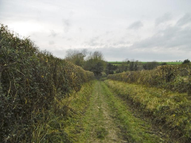
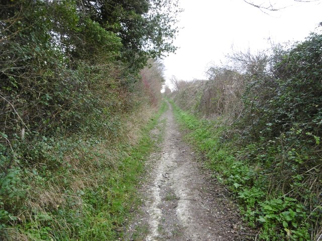
Ash Plantation is a picturesque woodland located in the county of Dorset, England. This enchanting forest covers an area of approximately 100 acres, making it a haven for nature enthusiasts and outdoor adventurers alike. The plantation is predominantly composed of ash trees, hence its name, which provide a stunning canopy of greenery throughout the year.
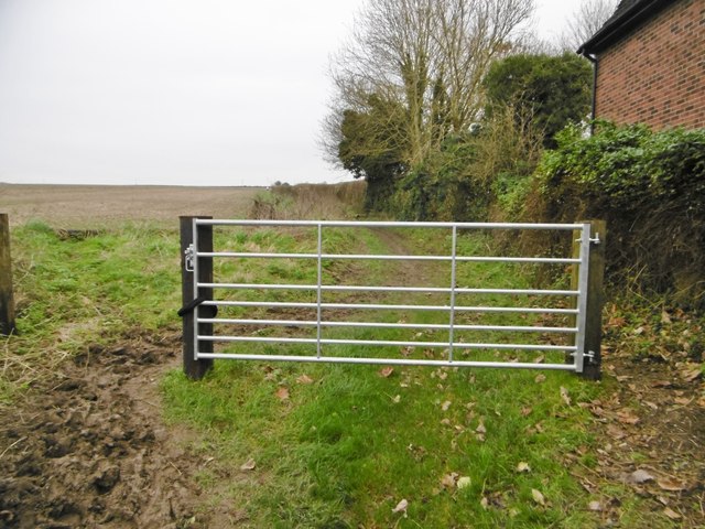
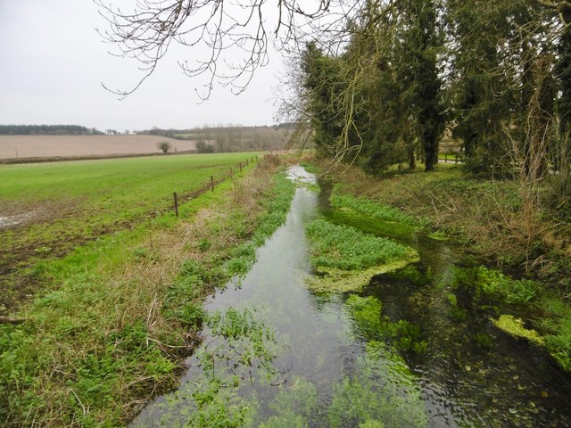
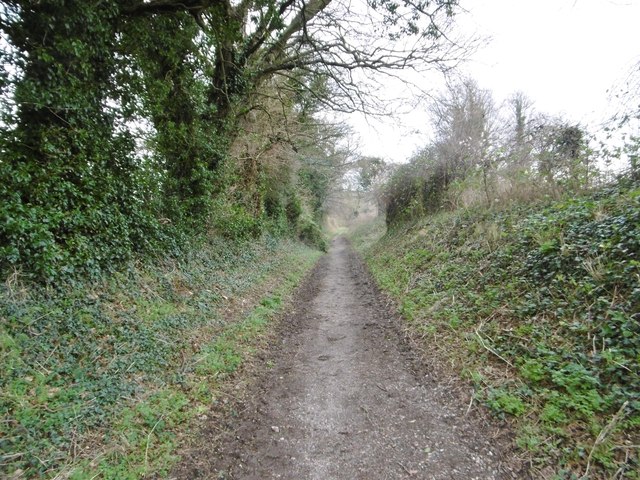
As visitors enter Ash Plantation, they are greeted by a well-maintained network of walking trails, allowing them to explore the beauty of this natural landscape at their own pace. The paths wind their way through the woodland, passing by babbling brooks, wildflower meadows, and diverse wildlife habitats. Birdwatchers will delight in the opportunity to spot a variety of avian species, including woodpeckers, owls, and songbirds.
One of the standout features of Ash Plantation is the presence of an ancient oak tree, estimated to be over 300 years old. This majestic tree stands tall and proud, commanding attention from all who pass by. Its gnarled branches and moss-covered trunk serve as a reminder of the rich history and resilience of this woodland.
Not only does Ash Plantation offer a tranquil escape from the hustle and bustle of everyday life, but it also provides educational opportunities for visitors. The forest management team has established informative signage throughout the plantation, highlighting the importance of sustainable forestry practices and the various species of flora and fauna that call this woodland home.
Overall, Ash Plantation in Dorset is a captivating destination for nature lovers, offering a harmonious blend of natural beauty, recreational activities, and educational experiences.
If you have any feedback on the listing, please let us know in the comments section below.
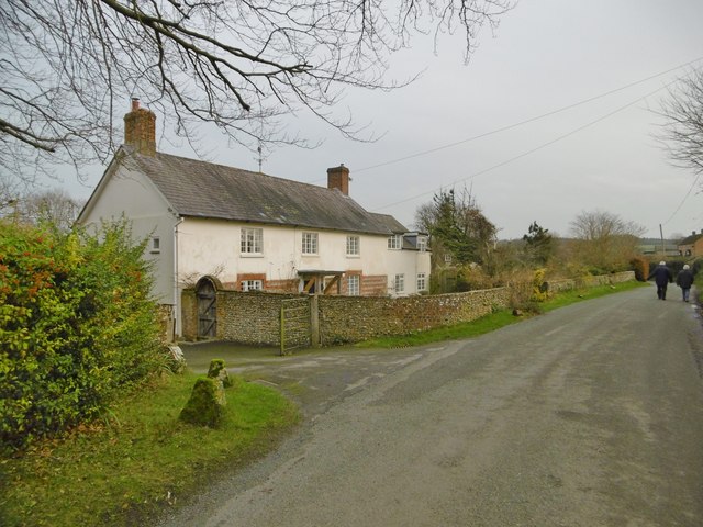
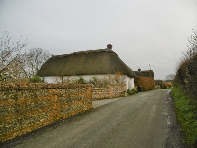
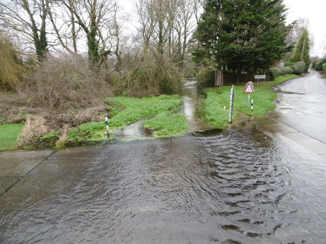
Ash Plantation Images
Images are sourced within 2km of 50.869401/-2.0726373 or Grid Reference ST9407. Thanks to Geograph Open Source API. All images are credited.

Ash Plantation is located at Grid Ref: ST9407 (Lat: 50.869401, Lng: -2.0726373)
Unitary Authority: Dorset
Police Authority: Dorset
What 3 Words
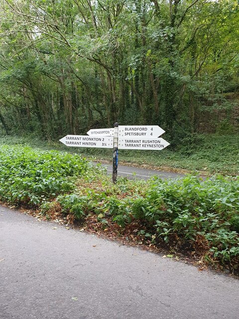
///clocking.stress.flows. Near Pimperne, Dorset
Nearby Locations
Related Wikis

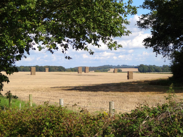
Tarrant Monkton
Tarrant Monkton is a village and civil parish in north Dorset, England, situated in the Tarrant Valley about four miles (six kilometres) east-northeast...

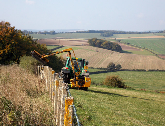
Tarrant Rawston
Tarrant Rawston is a hamlet and civil parish in the county of Dorset in southern England. It is named after the River Tarrant which flows through the parish...

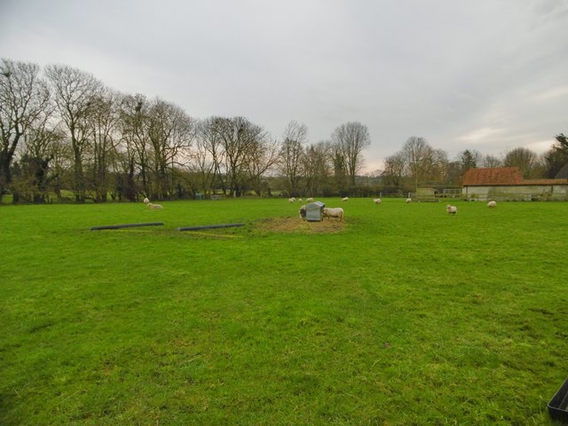
Tarrant Launceston
Tarrant Launceston is a small village and civil parish in north Dorset, England, situated in the Tarrant Valley 5 miles (8 kilometres) northeast of Blandford...

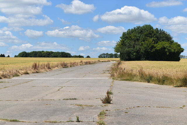
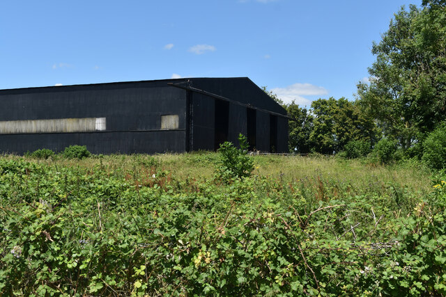
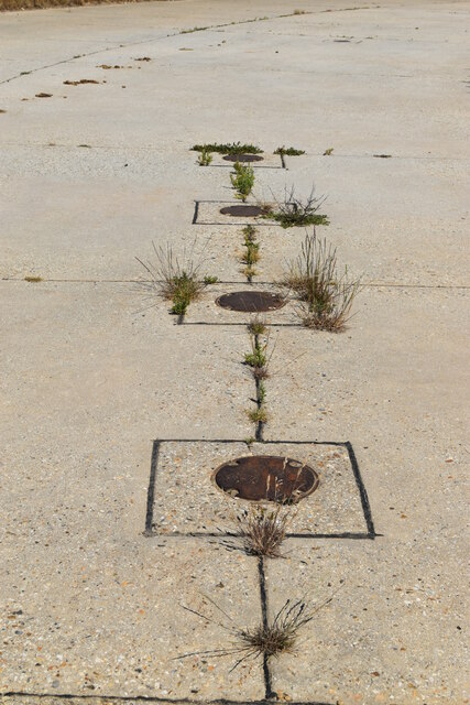
RAF Tarrant Rushton
Royal Air Force Tarrant Rushton or more simply RAF Tarrant Rushton is a former Royal Air Force station near the village of Tarrant Rushton east of Blandford...
Nearby Amenities
Located within 500m of 50.869401,-2.0726373Have you been to Ash Plantation?
Leave your review of Ash Plantation below (or comments, questions and feedback).