Willwood Plantation

Wood, Forest in Dorset

England

Willwood Plantation

Road approaching Swyre Head car park Path and road approaching Swyre Head car park
Road approaching Swyre Head car park Credit: Shaun Ferguson

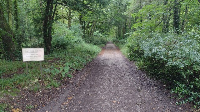
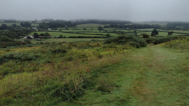
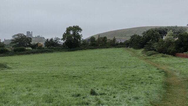
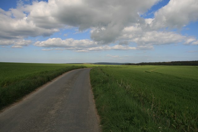
Willwood Plantation is a picturesque woodland located in Dorset, England. Covering an area of approximately 200 acres, this beautiful forest is known for its diverse range of flora and fauna, making it a popular destination for nature enthusiasts and wildlife lovers.

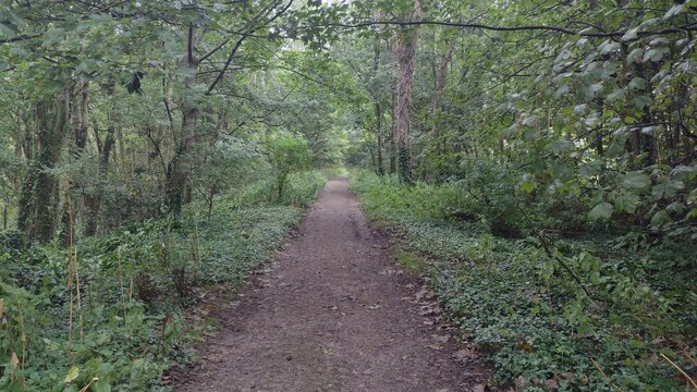
The plantation is predominantly covered by mature trees, including oak, beech, and ash, which create a dense canopy, providing shelter and habitat for various species of birds, mammals, and insects. The forest floor is adorned with a carpet of wildflowers, adding a vibrant touch to the serene surroundings.

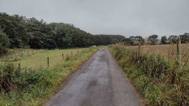
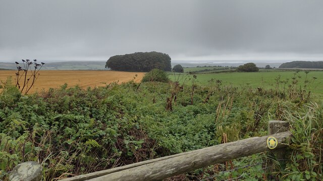
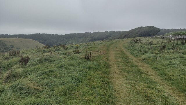
Willwood Plantation is crisscrossed by a network of well-maintained walking trails, allowing visitors to explore the area at their own pace. These trails take visitors through different sections of the forest, showcasing its unique features and offering breathtaking views of the surrounding countryside.

The plantation is also home to a number of rare and protected species, including the great crested newt and the silver-washed fritillary butterfly. As a result, it has been designated as a Site of Special Scientific Interest (SSSI), ensuring its conservation and protection.

In addition to its natural beauty, Willwood Plantation offers recreational activities such as birdwatching, wildlife photography, and nature walks. It also provides educational programs and guided tours for schools and groups, aiming to raise awareness about the importance of biodiversity and conservation.

Overall, Willwood Plantation in Dorset is a haven of tranquility, offering a unique opportunity to connect with nature and explore the rich biodiversity of the region.

If you have any feedback on the listing, please let us know in the comments section below.

Willwood Plantation Images

Images are sourced within 2km of 50.62043/-2.0734674 or Grid Reference SY9480. Thanks to Geograph Open Source API. All images are credited.

Road approaching Swyre Head car park Path and road approaching Swyre Head car park
Road approaching Swyre Head car park
Path and road approaching Swyre Head car park
Path down to Newfoundland copse Overgrown start on the path down to Newfoundland copse
Path down to Newfoundland copse
Overgrown start on the path down to Newfoundland copse
Path nearing Quarry Wood From Hans-tout Cliff the path nearing Quarry Wood with the obelisk to Lord Stowell across the valley
Path nearing Quarry Wood
From Hans-tout Cliff the path nearing Quarry Wood with the obelisk to Lord Stowell across the valley
Path passing through Quarry Wood From Hans-tout Cliff the path passing through Quarry Wood
Path passing through Quarry Wood
From Hans-tout Cliff the path passing through Quarry Wood
Path heading through The Plantation Path from car park heading through The Plantation of the Encombe Estate heading to Houns-tout Cliff
Path heading through The Plantation
Path from car park heading through The Plantation of the Encombe Estate heading to Houns-tout Cliff
OS Bolt Benchmark PA both on Old Church in Kingston Dorset. On NW edge of the tower. picture taken viewing east.
OS Bolt Benchmark
PA both on Old Church in Kingston Dorset. On NW edge of the tower. picture taken viewing east.
Path across Corfe Common Path across Corfe Common heading down to the B3069
Path across Corfe Common
Path across Corfe Common heading down to the B3069
B3069 down to Corfe Castle B3069 beside Corfe Common heading down to Corfe Castle
B3069 down to Corfe Castle
B3069 beside Corfe Common heading down to Corfe Castle
Path heading into Centre of Village Path heading into centre of village with Corfe Castle in the distance
Path heading into Centre of Village
Path heading into centre of village with Corfe Castle in the distance
The Scott Arms, Kingston
Country road in Kingston
St James' church, Kingston
Private woodland road, Kingston A private woodland road through the Plantation at Kingston.
Private woodland road, Kingston
A private woodland road through the Plantation at Kingston.
Road and Hardy Way footpath to Kingston
Commemorative bench, Polar Wood This bench commemorates all the crew lost in aircraft disasters during the World Wars.
Commemorative bench, Polar Wood
This bench commemorates all the crew lost in aircraft disasters during the World Wars.
Footpath at Westhill Farm Looking towards Houns Tout.
Footpath at Westhill Farm
Looking towards Houns Tout.
The road to Kingston The B3069 road between Langton Matravers and Kingston, Isle of Purbeck, Dorset.
The road to Kingston
The B3069 road between Langton Matravers and Kingston, Isle of Purbeck, Dorset.
Purbeck : Kingston Hill B3069 Looking along the road as it bends to the left here.
Purbeck : Kingston Hill B3069
Looking along the road as it bends to the left here.
Show me another place!

Willwood Plantation is located at Grid Ref: SY9480 (Lat: 50.62043, Lng: -2.0734674)

Unitary Authority: Dorset

Police Authority: Dorset

What 3 Words

///label.fabric.tutored. Near Corfe Castle, Dorset
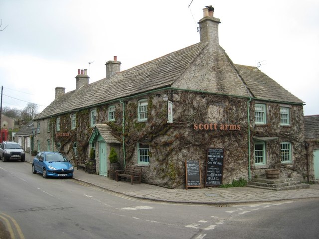
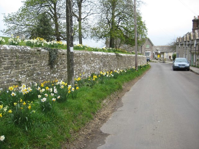
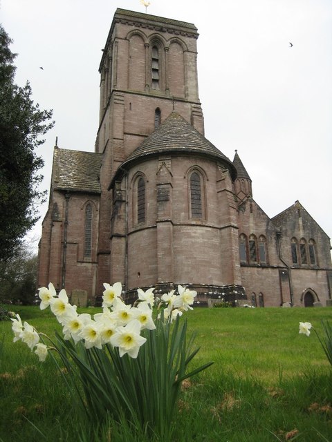
Related Wikis

Blashenwell Farm Pit

Blashenwell Farm Pit (grid reference SY952805) is an 11.4 hectare geological Site of Special Scientific Interest in Dorset, United Kingdom, notified in...

Kingston, Purbeck

Kingston is a small village on the Isle of Purbeck in the county of Dorset in southern England. == Location == Kingston is situated about two miles south...

Bucknowle Farm

Bucknowle Farm is the site of a Romano-British settlement and a Roman villa, located one kilometre southeast of Church Knowle and one kilometre southwest...

Bucknowle Roman villa

Bucknowle Roman villa is a Roman villa in Dorset, England. It is located within a camping site within the grounds of Bucknowle Farm. == History == The...

Nearby Amenities

Located within 500m of 50.62043,-2.0734674
Barrier: stile
Lat/Long: 50.6169323/-2.0696358
Material: wood
Power: pole
Source: bing
Lat/Long: 50.619051/-2.0667335
Material: wood
Power: pole
Source: bing
Lat/Long: 50.6198397/-2.0679505
Material: wood
Power: pole
Source: bing
Lat/Long: 50.6204536/-2.0682543
Material: wood
Power: pole
Source: bing
Lat/Long: 50.6220818/-2.0690266
Material: wood
Power: pole
Source: bing
Lat/Long: 50.6225925/-2.0692695
Material: wood
Power: pole
Source: bing
Lat/Long: 50.6234289/-2.0696666
Material: wood
Power: pole
Source: bing
Lat/Long: 50.6244877/-2.0705929
Barrier: cattle_grid
Lat/Long: 50.6221118/-2.070941
Power: pole
Source: bing
Transformer: distribution
Lat/Long: 50.6220731/-2.0774969
Power: pole
Source: bing
Lat/Long: 50.6240615/-2.0734978
Power: pole
Source: bing
Lat/Long: 50.6225343/-2.0763946
Power: pole
Source: bing
Lat/Long: 50.6233783/-2.0746458
Power: pole
Source: bing
Lat/Long: 50.6247642/-2.0723444
Power: pole
Source: bing
Lat/Long: 50.6211108/-2.0685558
Disused Watermill: yes
Man Made: watermill
Lat/Long: 50.6223293/-2.0702392
Bench
Lat/Long: 50.6223032/-2.0702551
The data included in this document is from www.openstreetmap.org. The data is made available under ODbL.

Have you been to Willwood Plantation?

Leave your review of Willwood Plantation below (or comments, questions and feedback).