Chettle Wood
Wood, Forest in Dorset
England
Chettle Wood
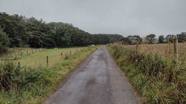
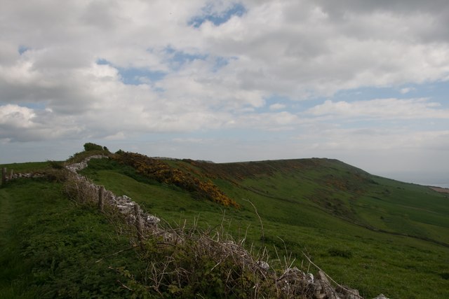
Chettle Wood is a picturesque woodland located in the county of Dorset, England. Situated near the village of Chettle, this charming forest covers an area of approximately 100 acres, making it a popular destination for nature lovers and outdoor enthusiasts.
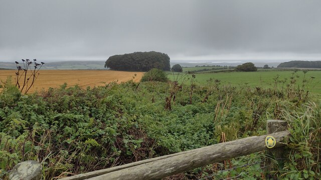
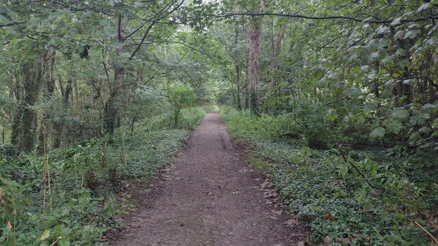
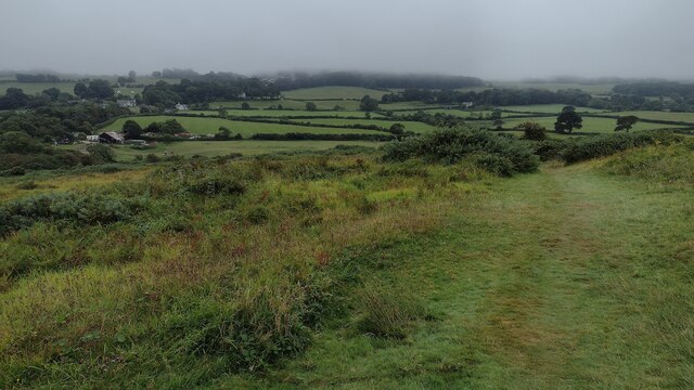
The woodland is predominantly composed of native broadleaf trees, including oak, beech, and ash, which create a diverse and vibrant ecosystem. The dense canopy provides ample shade during the summer months and a kaleidoscope of colors in the autumn, making it an ideal spot for leisurely walks and peaceful picnics.
Chettle Wood is home to a wide range of wildlife, including various bird species, such as woodpeckers, owls, and finches, which can be spotted throughout the year. The forest floor is also teeming with life, with an abundance of wildflowers, ferns, and mosses contributing to the area's natural beauty.
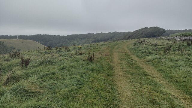
Tranquility and serenity are at the heart of Chettle Wood, as it offers visitors a haven of peace away from the hustle and bustle of daily life. The gentle rustling of leaves, the occasional chirping of birds, and the soothing scent of woodland create a truly immersive experience for those seeking solace in nature.
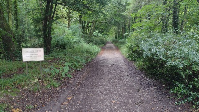
Chettle Wood is easily accessible to the public, with designated footpaths and trails guiding visitors through its enchanting landscape. The forest is open year-round, allowing visitors to enjoy its beauty in every season, whether it be a winter wonderland or a vibrant springtime spectacle.
Overall, Chettle Wood is a hidden gem in Dorset, offering a tranquil retreat for those looking to reconnect with nature and enjoy the splendors of a quintessential English woodland.
If you have any feedback on the listing, please let us know in the comments section below.
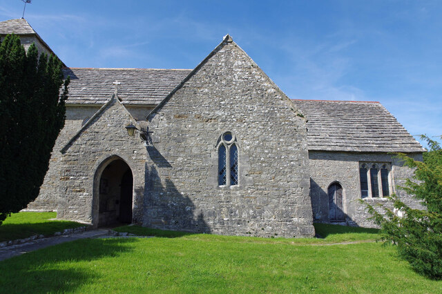
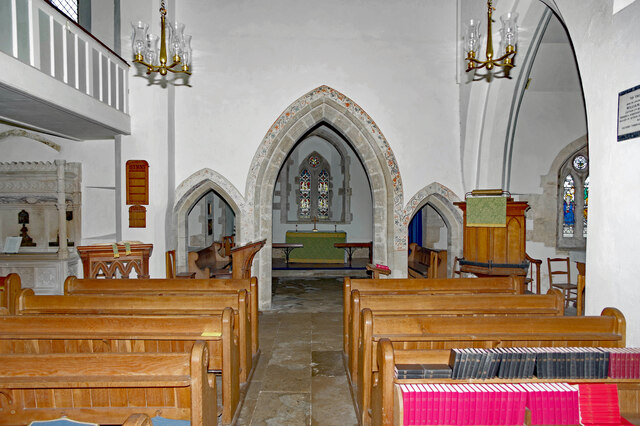
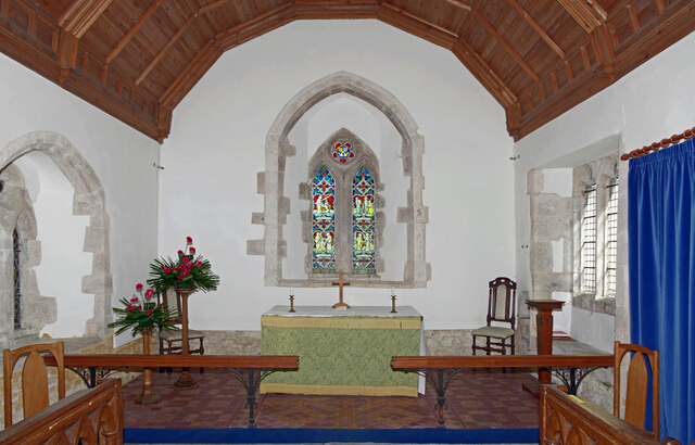
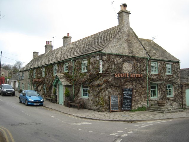
Chettle Wood Images
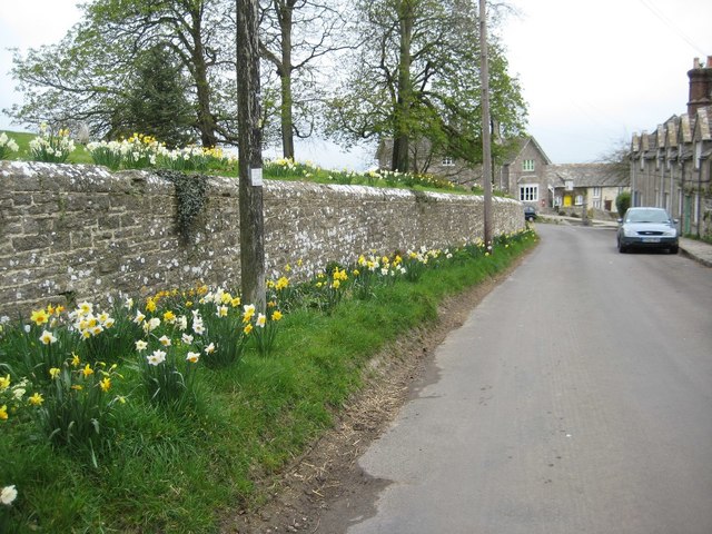
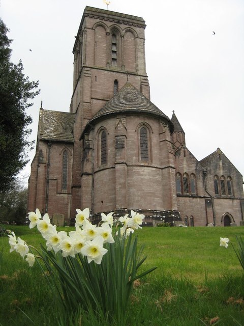
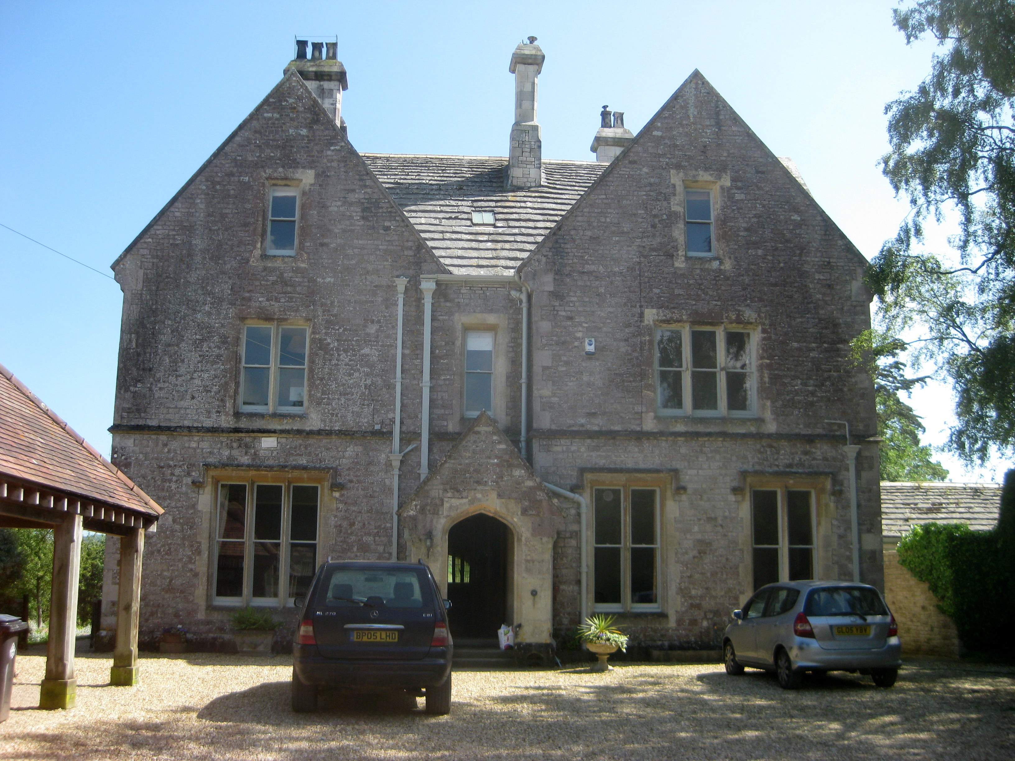
Images are sourced within 2km of 50.622492/-2.0822352 or Grid Reference SY9480. Thanks to Geograph Open Source API. All images are credited.


Chettle Wood is located at Grid Ref: SY9480 (Lat: 50.622492, Lng: -2.0822352)
Unitary Authority: Dorset
Police Authority: Dorset
What 3 Words
///coherent.crawler.users. Near Corfe Castle, Dorset
Nearby Locations
Related Wikis

Blashenwell Farm Pit
Blashenwell Farm Pit (grid reference SY952805) is an 11.4 hectare geological Site of Special Scientific Interest in Dorset, United Kingdom, notified in...
Smedmore Hill Settlement
The Smedmore Hill Settlement is an archaeological site about 2 miles (3.2 km) south-west of Corfe Castle, in Dorset, England. The site is a settlement...

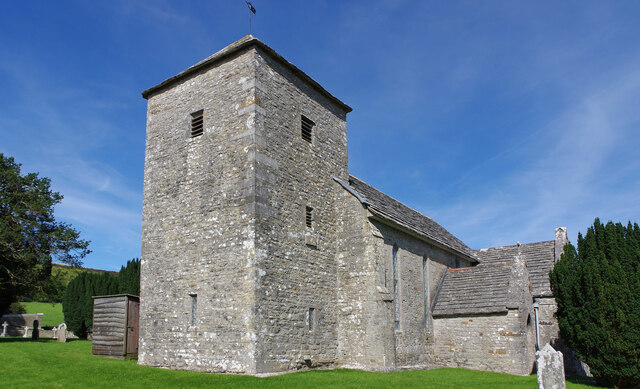
Church Knowle
Church Knowle is a village and civil parish on the Isle of Purbeck in the county of Dorset in the south of England. Church Knowle village is situated about...

Kingston, Purbeck
Kingston is a small village on the Isle of Purbeck in the county of Dorset in southern England. == Location == Kingston is situated about two miles south...
Bucknowle Farm
Bucknowle Farm is the site of a Romano-British settlement and a Roman villa, located one kilometre southeast of Church Knowle and one kilometre southwest...
Bucknowle Roman villa
Bucknowle Roman villa is a Roman villa in Dorset, England. It is located within a camping site within the grounds of Bucknowle Farm. == History == The...

Barnston Manor
Barnston Manor is a 13th-century manor house and farm near Church Knowle in Dorset, England. The house is a Grade I listed building, and some farm buildings...

Encombe House
Encombe House is a privately owned, Grade II* listed country house built in 1735 on the Encombe Estate near the village of Kingston and about 1-mile (1...
Nearby Amenities
Located within 500m of 50.622492,-2.0822352Have you been to Chettle Wood?
Leave your review of Chettle Wood below (or comments, questions and feedback).