Redacre Wood

Wood, Forest in Cheshire

England

Redacre Wood

Lyme Hall House, Lyme Park, Disley National Trust house and gardens, most recently popularised after the BBC adaptation a few years ago of Pride and Prejudice.
Lyme Hall House, Lyme Park, Disley Credit: Paul Ashwin

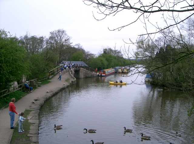
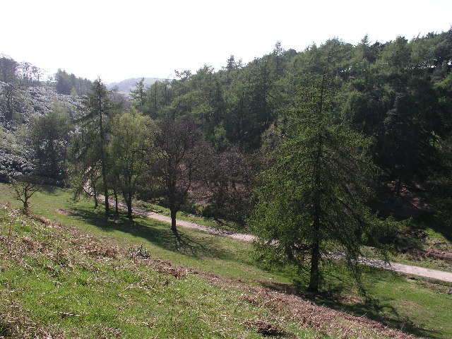
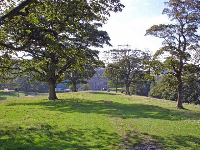
Redacre Wood, located in the county of Cheshire, England, is a picturesque woodland area known for its natural beauty and diverse ecosystem. Spanning over 100 hectares, this ancient forest is a popular destination for nature enthusiasts and hikers alike.

The wood is characterized by its dense canopy of towering oak and beech trees, which provide shelter and habitat for a wide range of wildlife species. Redacre Wood is home to several rare and protected species, including the greater horseshoe bat and the white-faced darter dragonfly, making it an important conservation area.

Visitors to Redacre Wood can explore the network of well-maintained trails that wind through the forest, offering stunning views of the surrounding countryside. The tranquil atmosphere and abundant flora and fauna make it an ideal location for birdwatching and photography.

In addition to its natural features, Redacre Wood also boasts a rich historical background. The remains of an ancient Iron Age hillfort can be found within the woodland, serving as a reminder of the area's cultural heritage.

Redacre Wood is easily accessible, with ample parking facilities and well-signposted entrances. It is open to the public year-round, providing a serene escape from the hustle and bustle of everyday life.

Whether you are seeking a peaceful walk in nature, a chance to spot rare wildlife, or an opportunity to delve into the past, Redacre Wood offers a memorable experience for visitors of all ages.

If you have any feedback on the listing, please let us know in the comments section below.
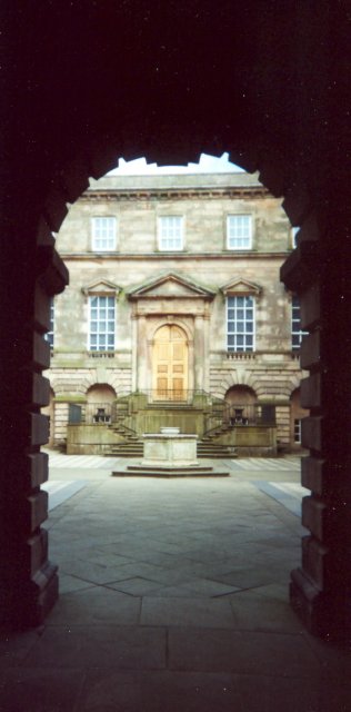
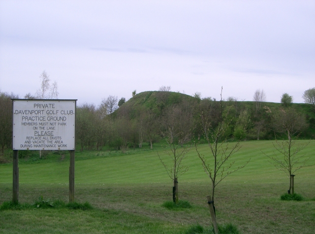
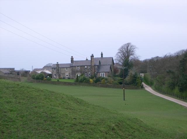
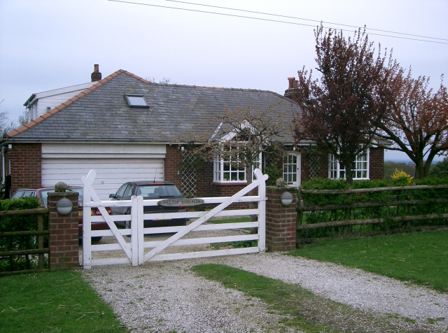
Redacre Wood Images

Images are sourced within 2km of 53.334538/-2.0819068 or Grid Reference SJ9481. Thanks to Geograph Open Source API. All images are credited.

Lyme Hall House, Lyme Park, Disley National Trust house and gardens, most recently popularised after the BBC adaptation a few years ago of Pride and Prejudice.
Lyme Hall House, Lyme Park, Disley
National Trust house and gardens, most recently popularised after the BBC adaptation a few years ago of Pride and Prejudice.
Davenport Golf Club Practice Ground
Platt Wood Farm Near Lyme Park
Hilltop Bungalow at Hilltop Farm
Macclesfield Canal near the Marina
Lyme Hall View of Lyme Hall - appeared as ‘Pemberley’ in the BBC’s adaptation of Jane Austen’s novel Pride and Prejudice.
Lyme Hall
View of Lyme Hall - appeared as ‘Pemberley’ in the BBC’s adaptation of Jane Austen’s novel Pride and Prejudice.
Simpson Lane, Pott Shrigley This cottage is just on the "m" of Lockgate Farm
The view is looking towards the edge of the Peak District. The cottage used to be two farm labourers dwellings.
Simpson Lane, Pott Shrigley
This cottage is just on the "m" of Lockgate Farm The view is looking towards the edge of the Peak District. The cottage used to be two farm labourers dwellings.
Knott This picture was taken in Lyme Park from SJ957820 looking north towards Knott.
Knott
This picture was taken in Lyme Park from SJ957820 looking north towards Knott.
Hase Bank Wood, Lyme Park Path through the valley at Hase Bank Wood in Lyme Park. Taken from SJ957819
Hase Bank Wood, Lyme Park
Path through the valley at Hase Bank Wood in Lyme Park. Taken from SJ957819
Hagg Bank footbridge Footbridge over the Macclesfield Canal. There was once a swing bridge here as well.
Hagg Bank footbridge
Footbridge over the Macclesfield Canal. There was once a swing bridge here as well.
Adlington Basin The former Adlington Colliery Basin on the Macclesfield Canal is now a thriving marina with nearby cafe and restaurant.
Adlington Basin
The former Adlington Colliery Basin on the Macclesfield Canal is now a thriving marina with nearby cafe and restaurant.
Accommodation Cottages These houses were built for miners working in the nearby collieries. The King William Pit was in the field behind and a short distance beyond was the Shady Oak Pit which was active in the 1830's.
Accommodation Cottages
These houses were built for miners working in the nearby collieries. The King William Pit was in the field behind and a short distance beyond was the Shady Oak Pit which was active in the 1830's.
Moggie Lane, Adlington The view North across the fields to the hills of Lyme Park from the delightfully named Moggie Lane, Wards End, near Poynton. (I've just noticed the carving on the fencepost on the left 'I love you' - so romance isn't dead!)
Moggie Lane, Adlington
The view North across the fields to the hills of Lyme Park from the delightfully named Moggie Lane, Wards End, near Poynton. (I've just noticed the carving on the fencepost on the left 'I love you' - so romance isn't dead!)
Below Knightslow Wood, Lyme Park Hard to know where to log this one. The photo, taken from the Gritstone Trail in Knights Wood looking north, shows the rough deer pasture below Knights Wood in the foreground (SJ9681) with Lyme Hall <a href="https://www.geograph.org.uk/gridref/SJ9682">SJ9682</a> in the distance and The Cage (folly) <a href="https://www.geograph.org.uk/gridref/SJ9683">SJ9683</a> on the hilltop in the far distance. With a good lens (!) you can see some of the resident herd of deer in the meadows in the middle distance.
Below Knightslow Wood, Lyme Park
Hard to know where to log this one. The photo, taken from the Gritstone Trail in Knights Wood looking north, shows the rough deer pasture below Knights Wood in the foreground (SJ9681) with Lyme Hall SJ9682 in the distance and The Cage (folly) SJ9683 on the hilltop in the far distance. With a good lens (!) you can see some of the resident herd of deer in the meadows in the middle distance.
Anson Museum, Higher Poynton Museum of internal combustion engines on a former colliery site. Note spoil heap in the background. The large bits are a steam engine from Hazel Grove, now re-erected and back in steam (first public steamings 24 & 25-9-11).
Anson Museum, Higher Poynton
Museum of internal combustion engines on a former colliery site. Note spoil heap in the background. The large bits are a steam engine from Hazel Grove, now re-erected and back in steam (first public steamings 24 & 25-9-11).
Lyme Hall, Entrance Gates
Anson Museum, Poynton Museum of internal combustion engines. Started as a private collection. Is very impressive. This is a much better view than my previous.
Anson Museum, Poynton
Museum of internal combustion engines. Started as a private collection. Is very impressive. This is a much better view than my previous.
Lyme Handley: Lyme Park house from Cage Hill Lyme Handley: Lyme Park, the house from the south slope of Cage Hill.
Lyme Handley: Lyme Park house from Cage Hill
Lyme Handley: Lyme Park, the house from the south slope of Cage Hill.
Show me another place!

Redacre Wood is located at Grid Ref: SJ9481 (Lat: 53.334538, Lng: -2.0819068)

Unitary Authority: Cheshire East

Police Authority: Cheshire

What 3 Words

///flagging.relaxing.recovery. Near Pott Shrigley, Cheshire
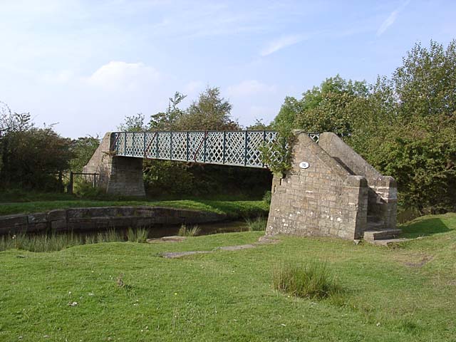
Nearby Locations

Rams Clough Redacre Wood

Related Wikis

Higher Poynton railway station

Higher Poynton was a railway station serving the eastern side of the town of Poynton in Cheshire, England. It was opened in 1869 by the Macclesfield, Bollington...

Anson Engine Museum

The Anson Engine Museum is situated on the site of the old Anson colliery in Poynton, Cheshire, England. It is the work of Les Cawley and Geoff Challinor...
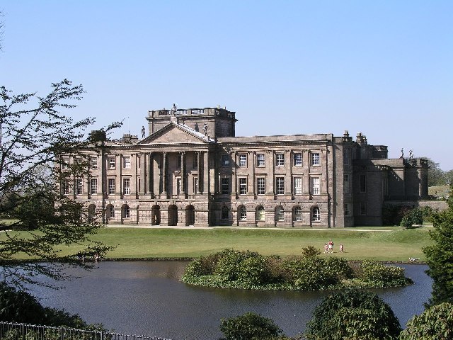
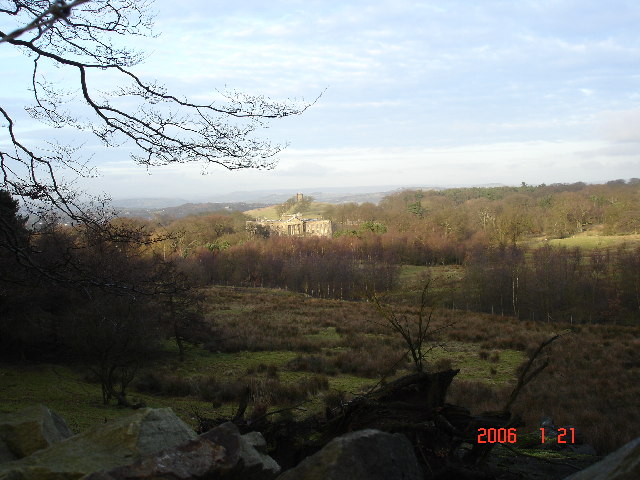
Lyme Park

Lyme Park is a large estate south of Disley, Cheshire, England, managed by the National Trust and consisting of a mansion house surrounded by formal gardens...

Lyme Handley

Lyme Handley, sometimes known as Lyme, is a former civil parish, now in the parish of Kettleshulme and Lyme Handley, in between Disley and Stockport, in...
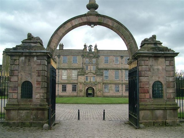
Shrigley Hall

Shrigley Hall is a former country house standing to the northwest of the village of Pott Shrigley, Cheshire, England. It has since been used as a school...

Poynton High School

Poynton High School is a coeducational secondary school and sixth form located in Poynton, Cheshire, just outside Greater Manchester. The school was maintained...

Leonard Haigh

Leonard Haigh (19 October 1880 – 6 August 1916) was an English rugby player. He won seven caps for England between 1910 and 1911, and also represented...

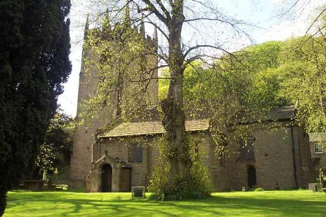
St Christopher's Church, Pott Shrigley

St Christopher's Church is in the small village of Pott Shrigley, Cheshire, England. The church is recorded in the National Heritage List for England...

Nearby Amenities

Located within 500m of 53.334538,-2.0819068
Parking
Parking: surface
Lat/Long: 53.3321239/-2.0790841
Power: tower
Lat/Long: 53.3377656/-2.0823023
Power: tower
Lat/Long: 53.3353774/-2.0851934
Power: tower
Lat/Long: 53.3331291/-2.0879467
Barrier: cattle_grid
Lat/Long: 53.3350727/-2.075523
Barrier: kissing_gate
Foot: yes
Lat/Long: 53.3386178/-2.0806793
Mitchell Fold
Place: hamlet
Lat/Long: 53.3348853/-2.0839879
Material: wood
Operator: United Utilities
Power: pole
Ref: West Park 335995
Transformer: distribution
Lat/Long: 53.331246/-2.0780533
Recycling
Material: wood
Operator: United Utilities
Power: pole
Lat/Long: 53.3308233/-2.0788757
The data included in this document is from www.openstreetmap.org. The data is made available under ODbL.

Have you been to Redacre Wood?

Leave your review of Redacre Wood below (or comments, questions and feedback).