Target Wood
Wood, Forest in Northumberland
England
Target Wood

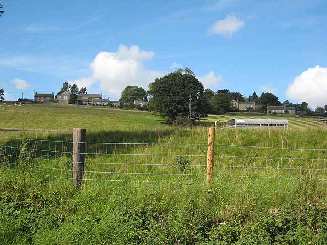
Target Wood is a dense forest located in Northumberland, England. It covers an area of approximately 500 acres and is situated on the eastern edge of the Northumberland National Park. The forest is known for its diverse range of tree species, including oak, beech, ash, and pine.
The wood is a popular destination for nature enthusiasts and outdoor lovers due to its tranquil and picturesque surroundings. It offers numerous walking trails and paths that allow visitors to explore the stunning natural beauty of the area. These trails are well-maintained and suitable for all levels of fitness, making it an ideal location for families and individuals looking to immerse themselves in nature.
Target Wood is also home to a variety of wildlife, including deer, foxes, badgers, and an array of bird species. Birdwatchers are particularly drawn to the forest as it provides an excellent opportunity to spot rare and indigenous birds in their natural habitat.
The forest is managed by a team of dedicated conservationists who work tirelessly to preserve its natural integrity. They engage in sustainable forestry practices, ensuring the long-term health and vitality of the wood.
In addition to its natural attractions, Target Wood offers basic amenities such as picnic areas and benches, making it an ideal spot for a leisurely day out. The wood is easily accessible by car and has a small parking area available for visitors.
Overall, Target Wood offers a peaceful retreat from the hustle and bustle of everyday life, providing a haven for nature lovers and outdoor enthusiasts alike.
If you have any feedback on the listing, please let us know in the comments section below.
Target Wood Images
Images are sourced within 2km of 54.989927/-2.0853627 or Grid Reference NY9466. Thanks to Geograph Open Source API. All images are credited.


Target Wood is located at Grid Ref: NY9466 (Lat: 54.989927, Lng: -2.0853627)
Unitary Authority: Northumberland
Police Authority: Northumbria
What 3 Words
///glossed.insulated.descended. Near Acomb, Northumberland
Nearby Locations
Related Wikis
Anick
Anick ( AY-nik) is a village and former civil parish, now in the parish of Sandhoe, in Northumberland, England, situated to the north of Hexham. In 1881...
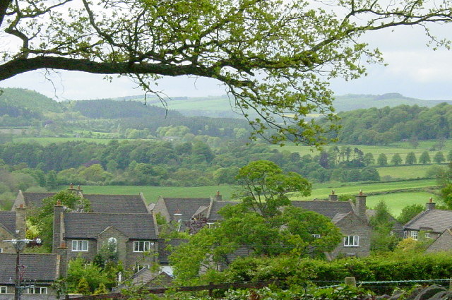
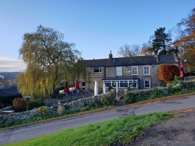
Acomb, Northumberland
Acomb is a village in the south of Northumberland, England. The population at the 2001 Census was 1,184 increasing to 1,268 at the 2011 Census. It is situated...

Hexham Bridge
Hexham Bridge is a road bridge in Northumberland, England linking Hexham with the North Tyne valley. It lies north of the town of Hexham and is the main...

Hexham Rowing Club
Hexham Rowing Club is a rowing club on the River Tyne, based at Tyne Green boathouse, Nr Hexham Bridge, Hexham, Northumberland. Rowers aged 12 and upwards...

Queen Elizabeth High School Rowing Club
Queen Elizabeth High School Rowing Club is a rowing club on the River Tyne, based at Tyne Green boathouse, Nr Hexham Bridge, Hexham, Northumberland....
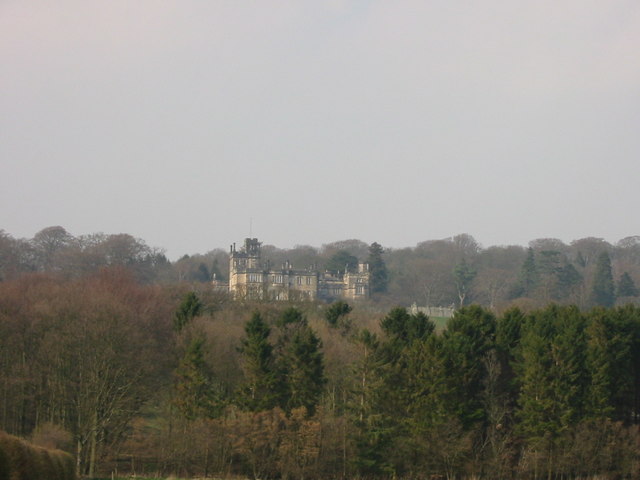
Beaufront Castle
Beaufront Castle is a privately owned 19th-century country house near Hexham, Northumberland, England. It is a Grade I listed building.A pele tower was...

Hexham Old Bridge
Hexham Old Bridge was an 18th-century stone bridge across the River Tyne at Hexham, Northumberland, England. It was located about 1 mile (2 km) upstream...

Hexham railway station
Hexham is a railway station on the Tyne Valley Line, which runs between Newcastle and Carlisle via Hexham. The station, situated 22 miles 22 chains (22...
Nearby Amenities
Located within 500m of 54.989927,-2.0853627Have you been to Target Wood?
Leave your review of Target Wood below (or comments, questions and feedback).