Ashley Wood

Wood, Forest in Wiltshire

England

Ashley Wood

Hydropower sign board at Fonthill, Wiltshire This signboard erected by the Fonthill estate describes the history of water power in this part of the estate - primarily for the woollen industry - and how the estate is harnessing the outflow of the lake to generate electricity today.
Hydropower sign board at Fonthill, Wiltshire Credit: James Harrison

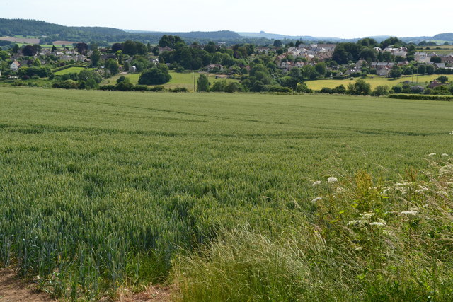
Ashley Wood is a small village located in Wiltshire, England. Nestled in the heart of the county, it is renowned for its picturesque woodlands and serene atmosphere. The village is situated approximately 5 miles south of the town of Trowbridge and about 15 miles west of the historic city of Salisbury.

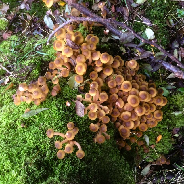
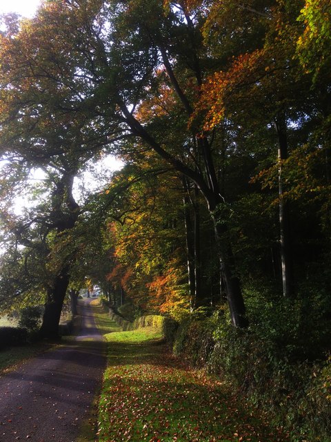
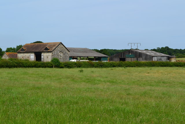
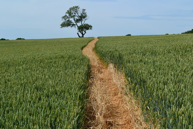
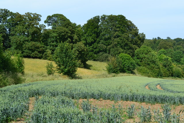
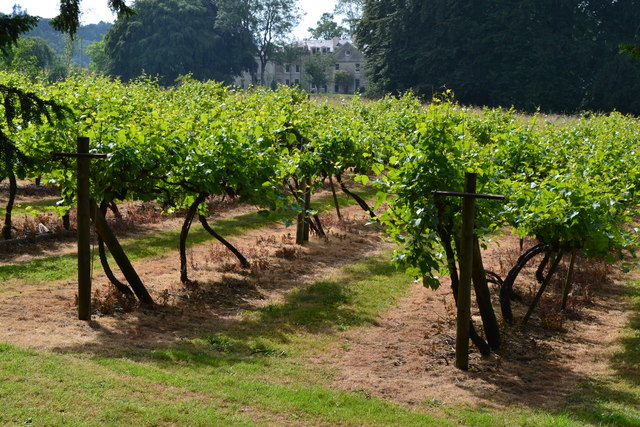
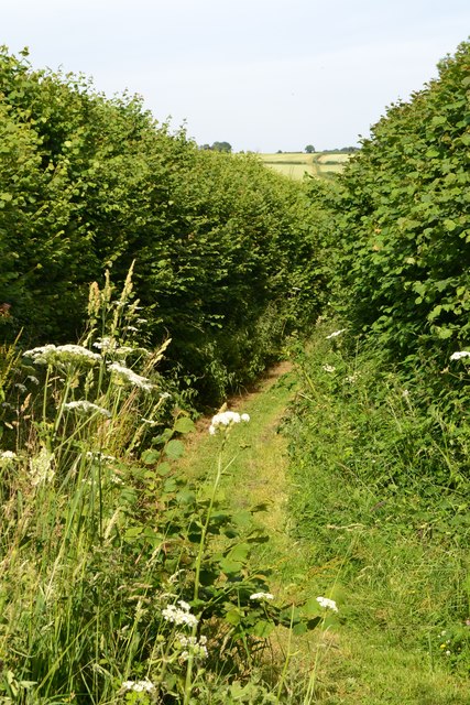
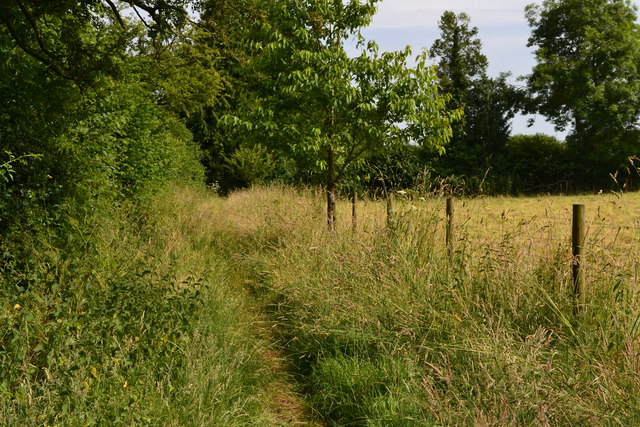
The main feature of Ashley Wood is its expansive forest, which covers a significant portion of the area. The woodlands are abundant with a diverse range of flora and fauna, making it an ideal spot for nature enthusiasts and outdoor activities. Visitors can enjoy peaceful walks, bike rides, or even horseback riding along the well-marked trails that wind through the woods.

The village itself is small and charming, with a tight-knit community that takes great pride in its surroundings. It has a few residential properties, some of which boast stunning views of the surrounding countryside. The local residents are friendly and welcoming, and there is a strong sense of community spirit.

Despite its rural setting, Ashley Wood benefits from good transportation links. Nearby major roads, including the A350 and A36, connect the village to larger towns and cities, allowing for easy commuting and access to amenities.

In summary, Ashley Wood is a tranquil village situated in the scenic county of Wiltshire. With its beautiful woodland area, it offers a peaceful retreat for those seeking respite from the hustle and bustle of city life.

If you have any feedback on the listing, please let us know in the comments section below.

Ashley Wood Images

Images are sourced within 2km of 51.080671/-2.0780509 or Grid Reference ST9431. Thanks to Geograph Open Source API. All images are credited.

Hydropower sign board at Fonthill, Wiltshire This signboard erected by the Fonthill estate describes the history of water power in this part of the estate - primarily for the woollen industry - and how the estate is harnessing the outflow of the lake to generate electricity today.
Hydropower sign board at Fonthill, Wiltshire
This signboard erected by the Fonthill estate describes the history of water power in this part of the estate - primarily for the woollen industry - and how the estate is harnessing the outflow of the lake to generate electricity today.
Sulphur Tuft fungi A group of sulphur tuft fungi growing amongst beech trees close to the shoreline of the lake at Fonthill, Wiltshire.
Sulphur Tuft fungi
A group of sulphur tuft fungi growing amongst beech trees close to the shoreline of the lake at Fonthill, Wiltshire.
Woodland on the lakeside at Fonthill, Wiltshire Autumnal colours dominate the woodland on the edge of the lake at Fonthill, Wiltshire.
Woodland on the lakeside at Fonthill, Wiltshire
Autumnal colours dominate the woodland on the edge of the lake at Fonthill, Wiltshire.
Fonthill Estate, Wiltshire Looking north across parkland to Fonthill House and Little Ridge Wood behind.
Fonthill Estate, Wiltshire
Looking north across parkland to Fonthill House and Little Ridge Wood behind.
Driveway to Fonthill House, Wiltshire Bounded on one side by Little Ridge Wood, and parkland on the other, this photograph shows the driveway from Ridge to Fonthill House, Wiltshire. The trees are showing their autumnal colours, emphasised by the low afternoon sunlight.
Driveway to Fonthill House, Wiltshire
Bounded on one side by Little Ridge Wood, and parkland on the other, this photograph shows the driveway from Ridge to Fonthill House, Wiltshire. The trees are showing their autumnal colours, emphasised by the low afternoon sunlight.
Archway, Fonthill Park A grade I listed building, about 1756. Inhabited on each side.  The road is public.
Archway, Fonthill Park
A grade I listed building, about 1756. Inhabited on each side. The road is public.
Estate cottages, Fonthill Bishop Looking like a rambling house of great age, in fact these are cottages built in 1864. Grade II listed.
Estate cottages, Fonthill Bishop
Looking like a rambling house of great age, in fact these are cottages built in 1864. Grade II listed.
Valley view towards Place Farm The buildings at Place Farm now house an arts centre, Messums Wiltshire.
Valley view towards Place Farm
The buildings at Place Farm now house an arts centre, Messums Wiltshire.
Buildings at Vicarage Barn
No doubt about the footpath! Clearly marked path through crops towards distant tree.
No doubt about the footpath!
Clearly marked path through crops towards distant tree.
Fonthill Lake The colour is not just an effect of the camera - the lake water appeared exceptionally green, even close-up.
Fonthill Lake
The colour is not just an effect of the camera - the lake water appeared exceptionally green, even close-up.
View over the dam cascade, Fonthill Lake
Field above Fonthill Lake The footpath across this field takes a very different line to that shown on the current Ordnance Survey mapping.
Field above Fonthill Lake
The footpath across this field takes a very different line to that shown on the current Ordnance Survey mapping.
Vines beside Fonthill churchyard Looking deceptively Provencal, complete with chateau in the background.
Vines beside Fonthill churchyard
Looking deceptively Provencal, complete with chateau in the background.
Footpath near Tisbury Reservoir
Field edge path parallel to Hindon Lane
View towards Tisbury
Old Milestone by the B3089, Hindon Road, Fonthill Bishop Carved stone post by the B3089, in parish of Fonthill Bishop (Salisbury District), Hindon Road; opposite terrace of brick cottages, East of village, on the verge, on South side of road. Hindon stone, erected by the Fisherton, Wilton, Heytesbury, Willoughby Hedge & Redhone turnpike trust in the 19th century. 

Inscription reads:-
(SA)RUM
XIV
HIND(ON)
(II) 

Milestone Society National ID: WI_SAMR14
Old Milestone by the B3089, Hindon Road, Fonthill Bishop
Carved stone post by the B3089, in parish of Fonthill Bishop (Salisbury District), Hindon Road; opposite terrace of brick cottages, East of village, on the verge, on South side of road. Hindon stone, erected by the Fisherton, Wilton, Heytesbury, Willoughby Hedge & Redhone turnpike trust in the 19th century. Inscription reads:- (SA)RUM XIV HIND(ON) (II) Milestone Society National ID: WI_SAMR14
Show me another place!

Ashley Wood is located at Grid Ref: ST9431 (Lat: 51.080671, Lng: -2.0780509)

Unitary Authority: Wiltshire

Police Authority: Wiltshire

What 3 Words

///screaming.intersect.servicing. Near Tisbury, Wiltshire

Related Wikis

Place Farm, Tisbury

Place Farm is a complex of medieval buildings in the village of Tisbury, Wiltshire, England. They originally formed a grange of Shaftesbury Abbey. The...
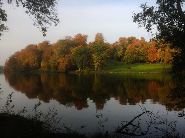
Fonthill Lake

Fonthill Lake (grid reference ST933319) is a lake in southwest Wiltshire, England. It lies just to the south of the village of Fonthill Bishop, east of...

Lady Down Quarry

Lady Down Quarry (grid reference ST961307) is a 2,300 square metre geological Site of Special Scientific Interest in the northeast of Tisbury parish in...

Tisbury, Wiltshire

Tisbury is a large village and civil parish approximately 13 miles (21 km) west of Salisbury in the English county of Wiltshire. With a population at the...
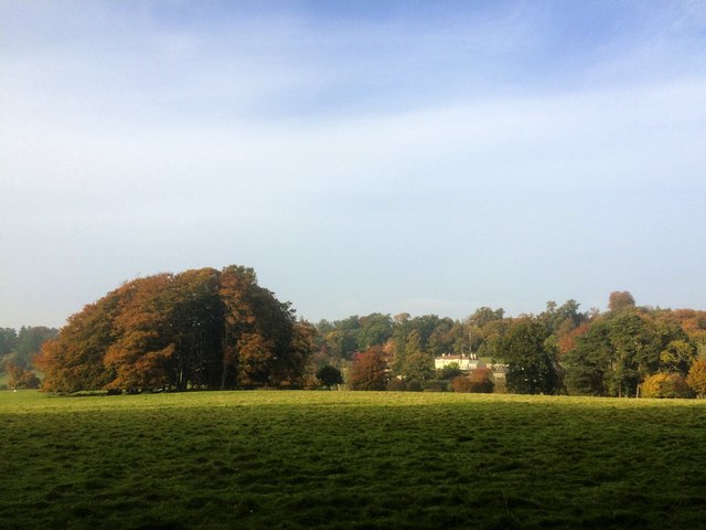
Fonthill Bishop

Fonthill Bishop is a small village and civil parish in Wiltshire, England, to the north of the Nadder valley and 9 miles (14 km) south of Warminster. The...

Tisbury railway station

Tisbury railway station serves the village of Tisbury in Wiltshire, England. It is currently managed by South Western Railway and is on the West of England...

Fonthill Gifford

Fonthill Gifford is a village and civil parish in Wiltshire, England, to the north of the Nadder valley, 14 miles (23 km) west of Salisbury. == History... ==

Chicksgrove Quarry

Chicksgrove Quarry (grid reference ST962296) is a 14 acres (5.7 ha) geological Site of Special Scientific Interest south of Upper Chicksgrove in Wiltshire...

Nearby Amenities

Located within 500m of 51.080671,-2.0780509
Barrier: stile
Lat/Long: 51.0773368/-2.0818647
The data included in this document is from www.openstreetmap.org. The data is made available under ODbL.

Have you been to Ashley Wood?

Leave your review of Ashley Wood below (or comments, questions and feedback).