Goodwins Hill Coppice
Wood, Forest in Worcestershire Wychavon
England
Goodwins Hill Coppice
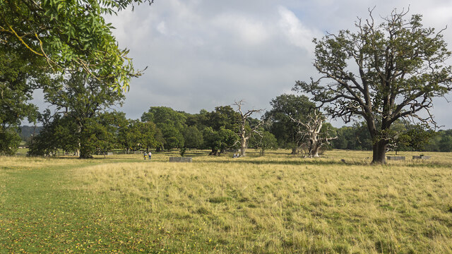
Goodwins Hill Coppice is a picturesque woodland located in Worcestershire, England. Covering an area of approximately 50 acres, this ancient forest is a haven of natural beauty and biodiversity.
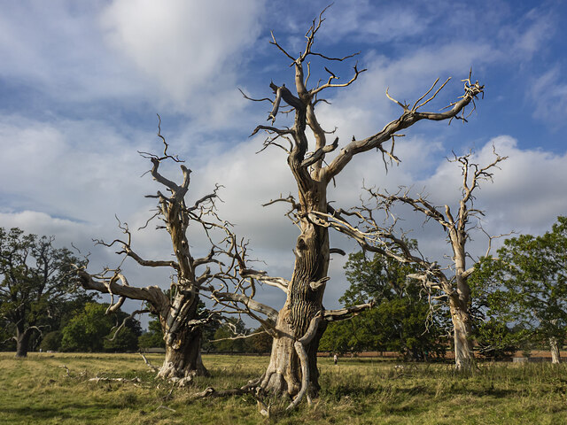
The coppice is primarily made up of a mix of deciduous trees, including oak, ash, and birch. These trees form a dense canopy that provides shade and shelter for a variety of wildlife. The forest floor is covered in a rich carpet of mosses, ferns, and wildflowers, creating a vibrant and colorful undergrowth.
Goodwins Hill Coppice is home to a diverse range of fauna. Birdwatchers can spot several species of woodland birds, including great tits, nuthatches, and woodpeckers. The forest is also a habitat for small mammals like squirrels, voles, and shrews.
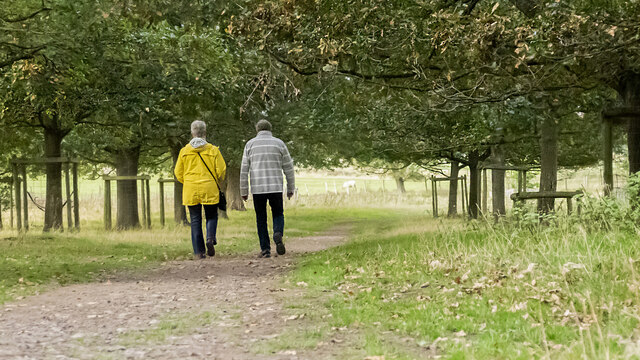
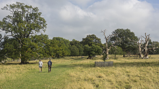
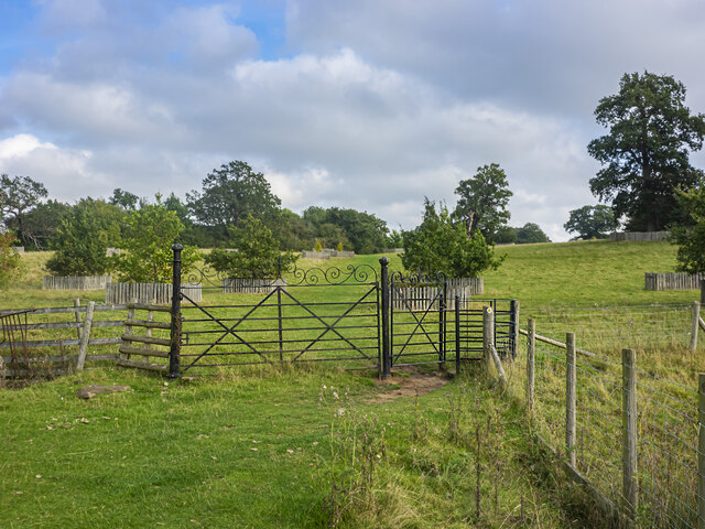
The coppice is intersected by a network of footpaths, allowing visitors to explore the forest and experience its tranquility firsthand. These paths wind through the trees, leading to hidden clearings and viewpoints that offer stunning vistas of the surrounding countryside.
The forest is managed by a dedicated team of conservationists who work to preserve its natural beauty and protect its native wildlife. They conduct regular surveys to monitor the health of the ecosystem and implement sustainable practices to ensure the longevity of the woodland.
Visitors to Goodwins Hill Coppice can enjoy a range of activities, including nature walks, photography, and picnicking. The forest provides a peaceful retreat from the hustle and bustle of everyday life, offering visitors the opportunity to reconnect with nature and appreciate the wonders of the natural world.
If you have any feedback on the listing, please let us know in the comments section below.
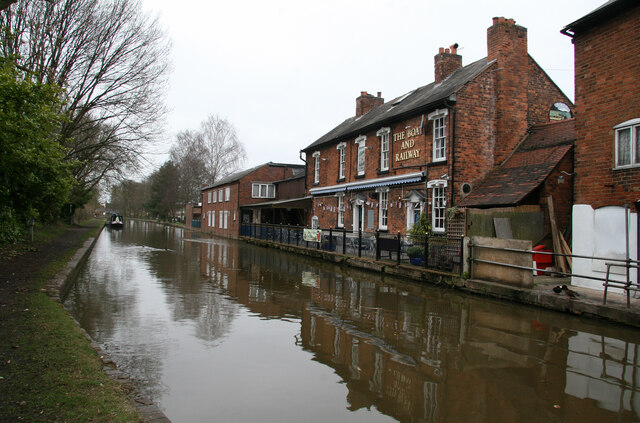
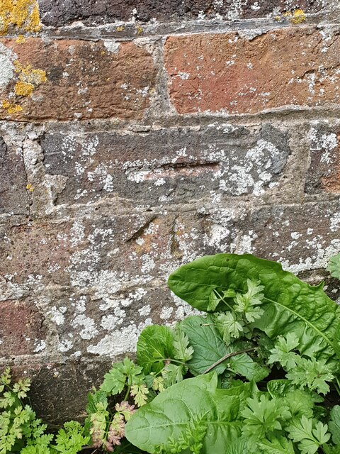
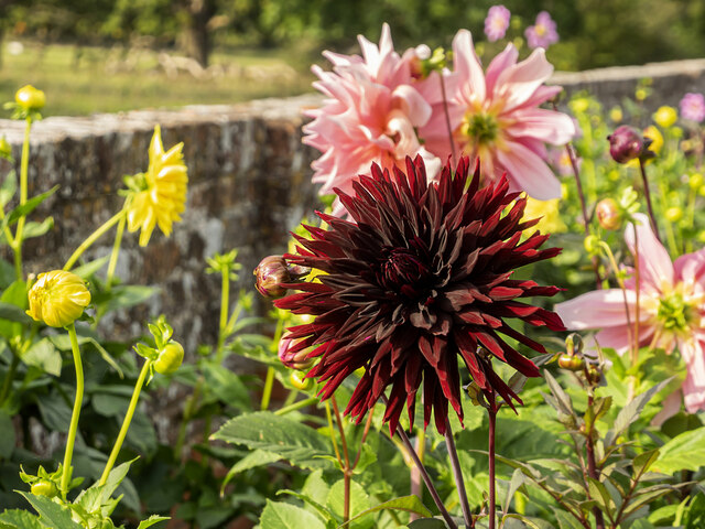
Goodwins Hill Coppice Images
Images are sourced within 2km of 52.277459/-2.0805974 or Grid Reference SO9464. Thanks to Geograph Open Source API. All images are credited.

Goodwins Hill Coppice is located at Grid Ref: SO9464 (Lat: 52.277459, Lng: -2.0805974)
Administrative County: Worcestershire
District: Wychavon
Police Authority: West Mercia
What 3 Words
///shepherdess.prom.estate. Near Stoke Prior, Worcestershire
Nearby Locations
Related Wikis

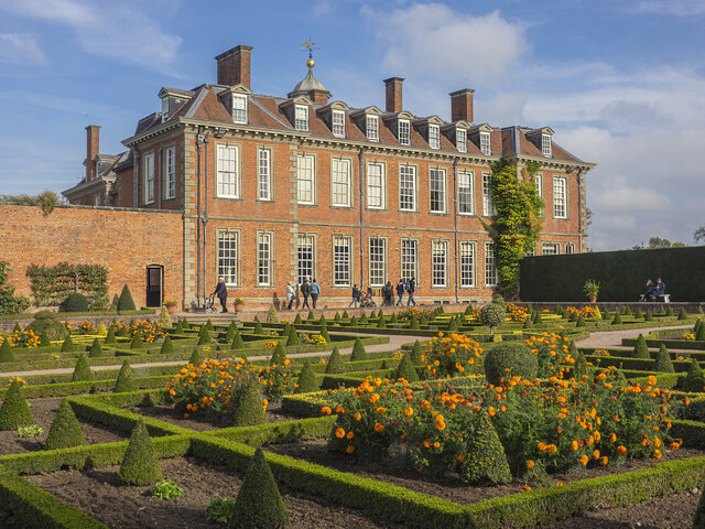
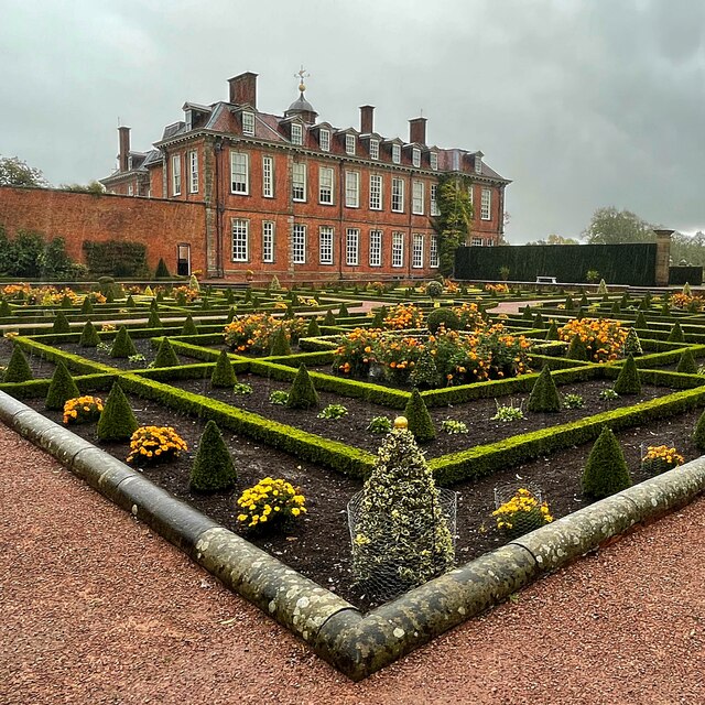
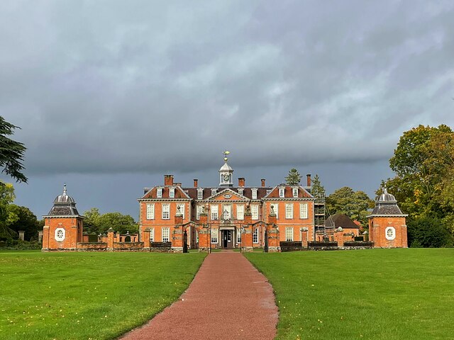
Hanbury Hall
Hanbury Hall is a large 18th-century stately home standing in parkland at Hanbury, Worcestershire. The main range has two storeys and is built of red brick...

St Mary the Virgin, Hanbury
The church of St Mary the Virgin is an Anglican parish church in the village of Hanbury, Worcestershire. Its earliest parts date from about 1210 and it...

Hanbury, Worcestershire
Hanbury is a rural village in Worcestershire, England near Droitwich Spa and the M5 motorway. The population of Hanbury has remained around 1,000 since...

Mere Green, Worcestershire
Mere Green is a hamlet in the English county of Worcestershire. It is located south of the village of Hanbury roughly midway between Worcester and Redditch...
Nearby Amenities
Located within 500m of 52.277459,-2.0805974Have you been to Goodwins Hill Coppice?
Leave your review of Goodwins Hill Coppice below (or comments, questions and feedback).