Stonewall Belt
Wood, Forest in Gloucestershire Cotswold
England
Stonewall Belt
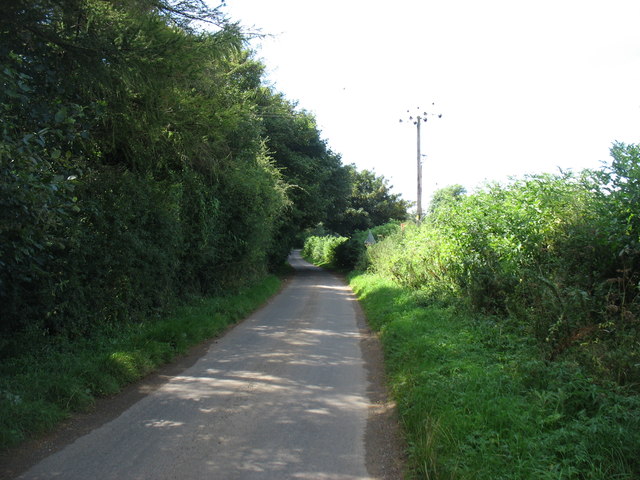
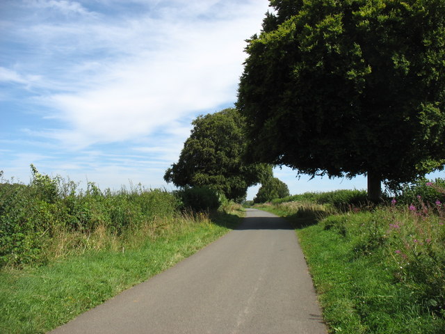
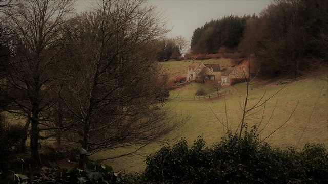
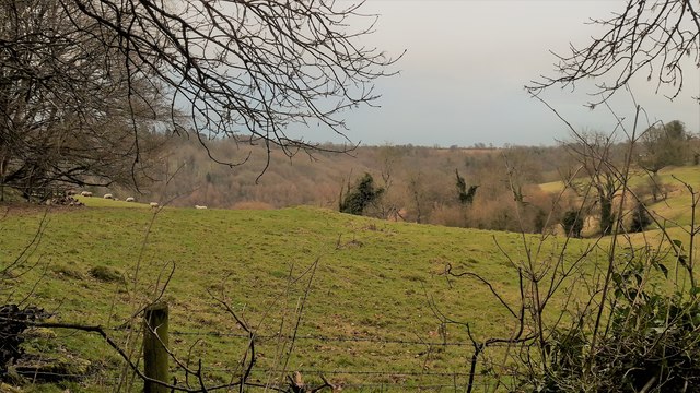
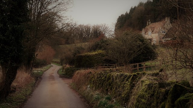
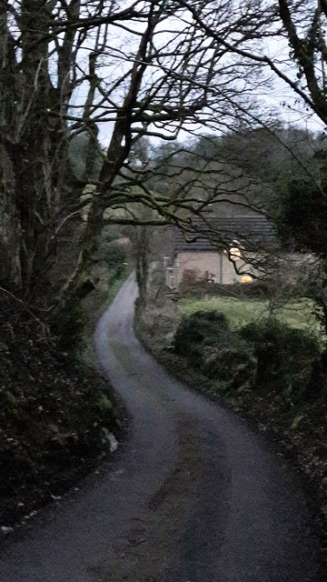
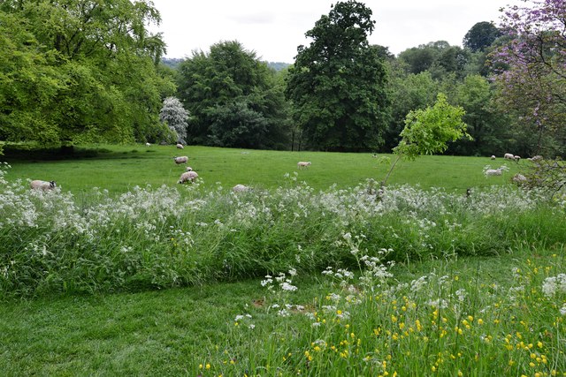
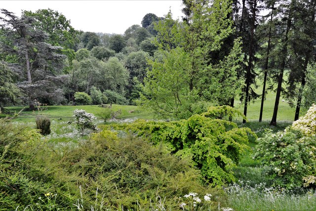
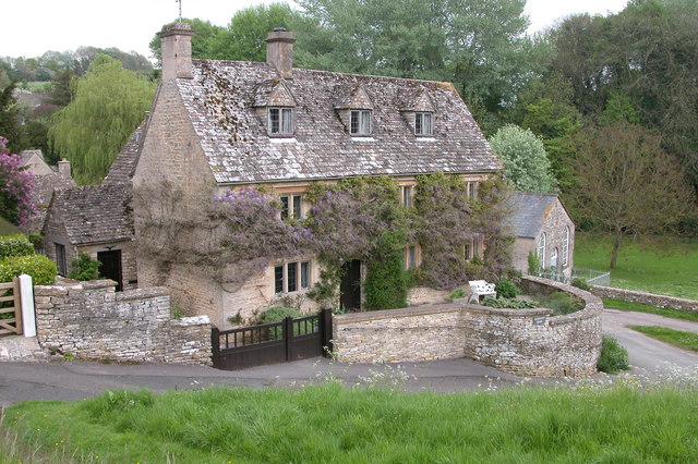
Stonewall Belt, located in Gloucestershire, is a picturesque wooded area within the wider Forest of Dean. It spans approximately 200 acres and is renowned for its natural beauty and diverse flora and fauna. The name "Stonewall Belt" is derived from the ancient stone walls that encircle the area, adding to its charm and historical significance.
The woodland is predominantly made up of native broadleaf trees, such as oak, beech, and birch, which create a dense canopy and provide a habitat for a variety of wildlife. The forest floor is carpeted with an array of wildflowers, ferns, and mosses, making it a haven for nature enthusiasts and photographers.
Stonewall Belt is also home to several species of mammals, including deer, foxes, badgers, and squirrels. Birdwatchers can spot a wide range of bird species, such as woodpeckers, owls, and warblers, as they flit through the treetops.
The forest offers numerous walking trails and paths, allowing visitors to explore and appreciate its natural wonders. There are also designated picnic areas and benches where visitors can relax and soak in the tranquil atmosphere.
Stonewall Belt is managed by the Forestry Commission, ensuring the preservation and conservation of this valuable woodland. The area attracts visitors throughout the year, who come to enjoy its beauty, engage in outdoor activities, or simply immerse themselves in the peaceful surroundings.
If you have any feedback on the listing, please let us know in the comments section below.
Stonewall Belt Images
Images are sourced within 2km of 51.760765/-2.081801 or Grid Reference SO9406. Thanks to Geograph Open Source API. All images are credited.


Stonewall Belt is located at Grid Ref: SO9406 (Lat: 51.760765, Lng: -2.081801)
Administrative County: Gloucestershire
District: Cotswold
Police Authority: Gloucestershire
What 3 Words
///slopes.stays.recording. Near Chalford, Gloucestershire
Nearby Locations
Related Wikis

Edgeworth, Gloucestershire
Edgeworth is a small village and civil parish in the English county of Gloucestershire. It is located east of Stroud, west of Cirencester and south of...

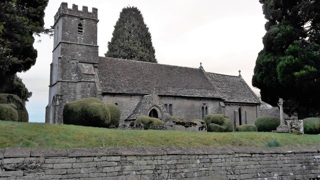
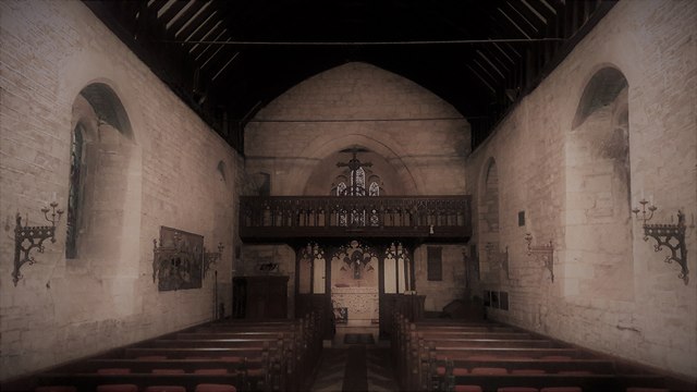
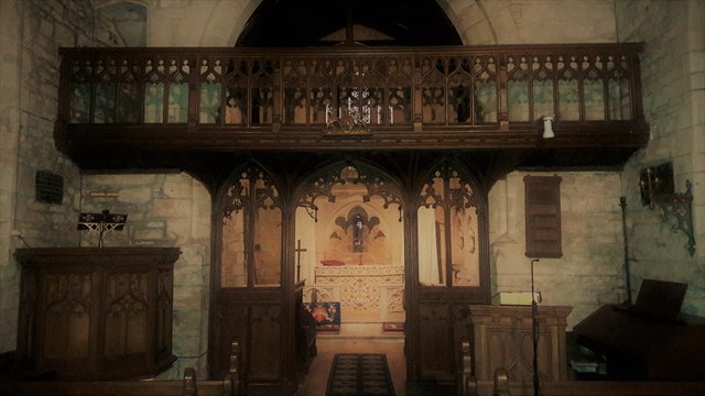
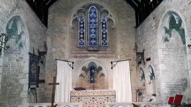
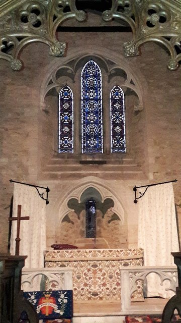
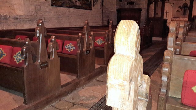
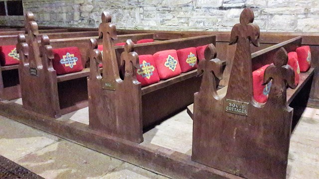
Church of St Mary, Edgeworth
The Anglican Church of St Mary at Edgeworth in the Cotswold District of Gloucestershire, England was built in 11th century. It is a grade I listed building...

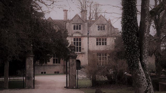
Edgeworth Manor
Edgeworth Manor is a Grade II* listed country house in Edgeworth, Gloucestershire, England. It was mentioned in the Domesday Book, when it was held by...

Juniper Hill, Edgeworth
Juniper Hill, Edgeworth (SO928058 and SO928064) is an 11.25-hectare (27.8-acre) biological Site of Special Scientific Interest in Gloucestershire, notified...

Miserden War Memorial
Miserden War Memorial is a First World War memorial in the village of Miserden, near Stroud, in Gloucestershire, south-western England. The memorial, designed...

Miserden Castle
Miserden Castle was a castle near the village of Miserden in Gloucestershire, England. The castle is a large motte and bailey Norman castle, built before...

Battlescombe
Battlescombe is an area in the village of Bisley in Gloucestershire, England. == References ==
Duntisbourne Abbots
Duntisbourne Abbots is a village and civil parish located in the English county of Gloucestershire. Duntisbourne Abbots forms part of the Cotswold District...
Nearby Amenities
Located within 500m of 51.760765,-2.081801Have you been to Stonewall Belt?
Leave your review of Stonewall Belt below (or comments, questions and feedback).