Moonground Plantation

Wood, Forest in Wiltshire

England

Moonground Plantation

Bridleway - possible old drove road This rather impressive bridle way is presumably an old drove road.  It runs from Snarlton Farm <a href="https://www.geograph.org.uk/gridref/ST9263">ST9263</a> to the Redstocks <a href="https://www.geograph.org.uk/gridref/ST9362">ST9362</a> although just south of this position it becomes somewhat overgrown
Bridleway - possible old drove road Credit: Doug Lee

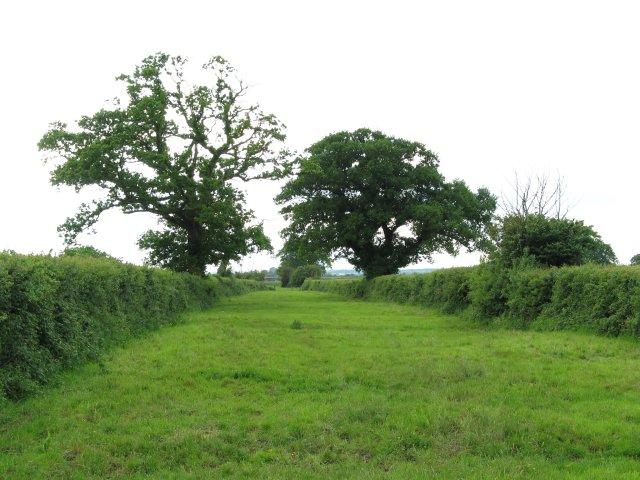
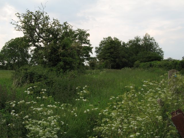
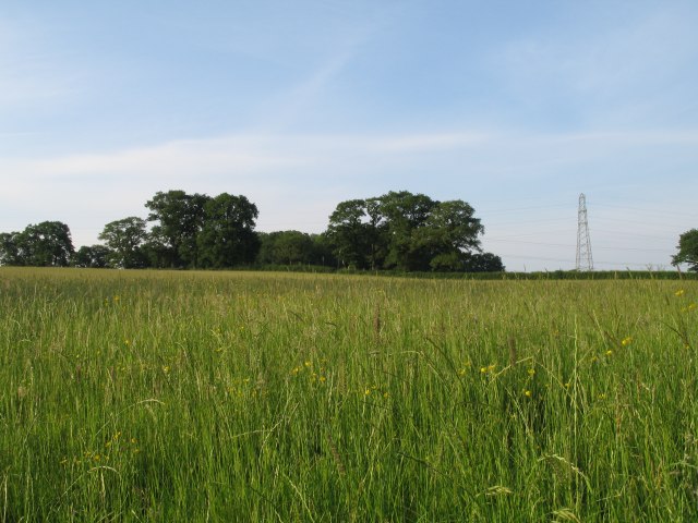
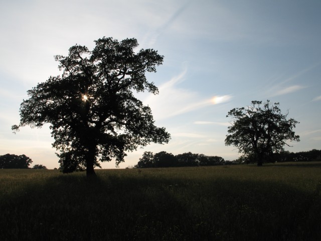
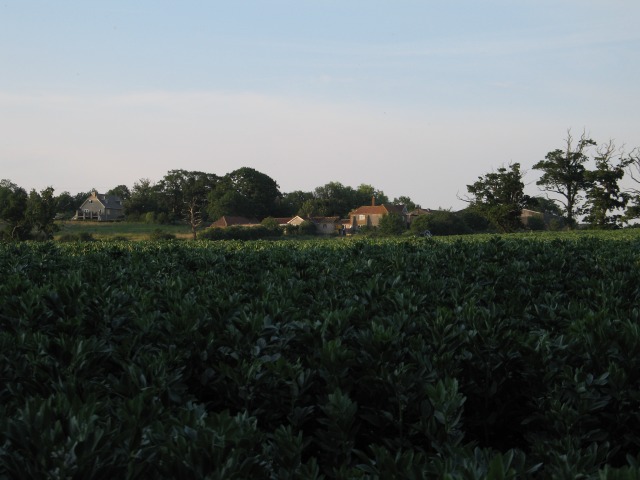
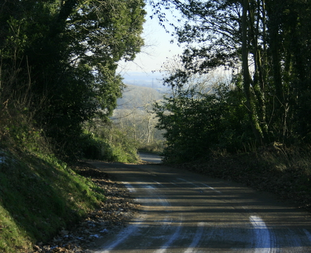
Moonground Plantation is a picturesque woodland area located in the county of Wiltshire in southwestern England. Spanning over a vast area, the plantation is renowned for its dense and diverse forest, offering a serene and tranquil escape for nature enthusiasts and outdoor enthusiasts alike.

The woodland of Moonground Plantation is predominantly composed of large, towering oak trees, interspersed with other native species such as beech, ash, and birch. The lush undergrowth is home to an array of flora, including bluebells, wild garlic, and ferns, creating a vibrant and colorful landscape throughout the seasons.

The plantation is a haven for wildlife, with numerous species calling it home. Birdwatchers can spot a variety of avian species, including woodpeckers, nuthatches, and owls. Additionally, the woodland provides a habitat for mammals such as deer, foxes, and badgers, making it an ideal location for wildlife enthusiasts and photographers.

Moonground Plantation offers a network of well-maintained walking trails, allowing visitors to explore the natural beauty at their own pace. These paths wind through the forest, providing opportunities to admire the ancient trees, listen to the soothing sounds of nature, and even catch glimpses of elusive wildlife.

For those seeking a tranquil retreat, the plantation offers several picnic areas and benches strategically placed to provide stunning views of the surrounding woodland. The plantation is also a popular spot for nature education programs and guided tours, providing an opportunity for visitors to learn about the rich biodiversity and conservation efforts in the area.

In conclusion, Moonground Plantation in Wiltshire is a captivating woodland paradise, offering a breathtaking natural landscape, diverse flora and fauna, and a peaceful ambiance that truly connects visitors with nature.

If you have any feedback on the listing, please let us know in the comments section below.

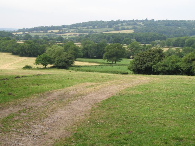
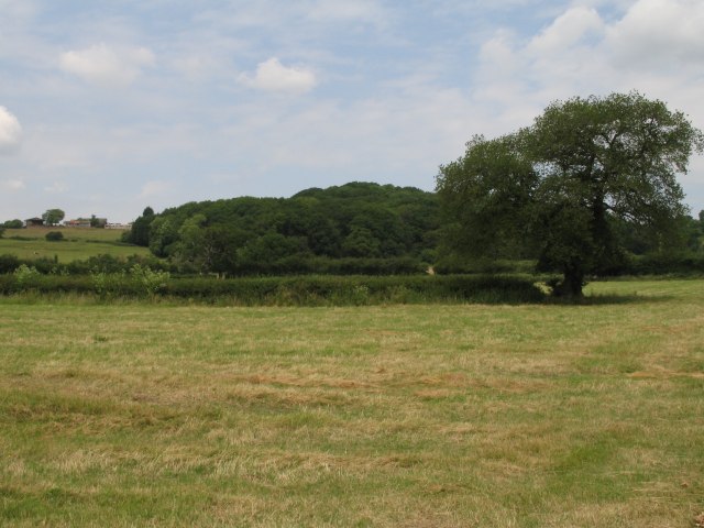
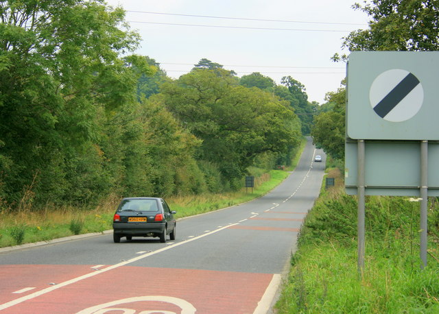
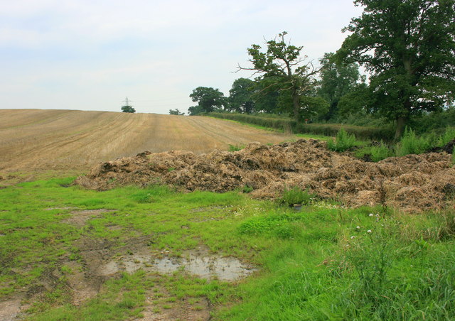
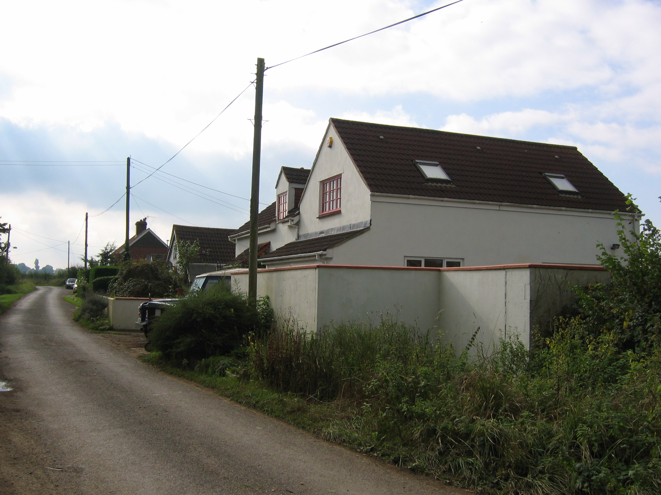
Moonground Plantation Images

Images are sourced within 2km of 51.375044/-2.0822445 or Grid Reference ST9464. Thanks to Geograph Open Source API. All images are credited.

Bridleway - possible old drove road This rather impressive bridle way is presumably an old drove road.  It runs from Snarlton Farm <a href="https://www.geograph.org.uk/gridref/ST9263">ST9263</a> to the Redstocks <a href="https://www.geograph.org.uk/gridref/ST9362">ST9362</a> although just south of this position it becomes somewhat overgrown
Bridleway - possible old drove road
This rather impressive bridle way is presumably an old drove road. It runs from Snarlton Farm ST9263 to the Redstocks ST9362 although just south of this position it becomes somewhat overgrown
Overgrown bridleway/old drove road
Disused Devizes rail line This line of trees and raised ground - occasionally, as here, with path on top - is all that remains of the rail line linking Devizes to the west.  The line closed in 1966
Disused Devizes rail line
This line of trees and raised ground - occasionally, as here, with path on top - is all that remains of the rail line linking Devizes to the west. The line closed in 1966
Fields, trees and pylons As seems to be common in this area, problems are encountered in trying to find anything to photograph other than fields and trees.  Well, there is a road with high hedges, but that makes for an even less interesting image.  For variety, here we also have an electricity transmission line - actually the same line as that shown in <a href="https://www.geograph.org.uk/gridref/ST9165">ST9165</a>
Fields, trees and pylons
As seems to be common in this area, problems are encountered in trying to find anything to photograph other than fields and trees. Well, there is a road with high hedges, but that makes for an even less interesting image. For variety, here we also have an electricity transmission line - actually the same line as that shown in ST9165
Farmland and crops near Bromham Whilst most of the farms in the locale seem to be raising cattle or the occasional field of maize this grid square is almost entirely given over to late planted non-grain crops.  This view is looking in the direction of Bromham with the spire of the impressive Bromham church clearly seen.
Farmland and crops near Bromham
Whilst most of the farms in the locale seem to be raising cattle or the occasional field of maize this grid square is almost entirely given over to late planted non-grain crops. This view is looking in the direction of Bromham with the spire of the impressive Bromham church clearly seen.
Lane from Rowde Croft Farm
Pylons near Rowde Croft Farm
Grassy field near  Broad Lane Farm
Grassy field near Broad Lane Farm
Trees near Broad Lane Farm Although this image was originally taken to record the spectrum resulting from sunlight reflected off the high level cloud to the upper left of the rightmost tree, this image does show the mature trees which can be found in this area.
Trees near Broad Lane Farm
Although this image was originally taken to record the spectrum resulting from sunlight reflected off the high level cloud to the upper left of the rightmost tree, this image does show the mature trees which can be found in this area.
Sandridge Farm
Sandridge Farm
Field near Blackmore Farm
View over crops towards Bowerhill
View from the end of Sandridge Lane
Open fields and woodland west of Bromham
2008 : The A3102 eastbound About to climb Sandridge Hill heading for Calne. Melksham is about 3km behind.
2008 : The A3102 eastbound
About to climb Sandridge Hill heading for Calne. Melksham is about 3km behind.
2008 : Harvested field near Sandridge Park Was lucky enough to meet the farmer here, he told me the crop was oilseed rape.
2008 : Harvested field near Sandridge Park
Was lucky enough to meet the farmer here, he told me the crop was oilseed rape.
2009 : Driveway into Sandridge Park At the end of the drive the A3102 passes the bottom.
The view beyond takes the eye toward Rowde and Potterne.
2009 : Driveway into Sandridge Park
At the end of the drive the A3102 passes the bottom. The view beyond takes the eye toward Rowde and Potterne.
2009 : Potato Harvester off Sandridge Lane Michael Trolove advises me this machine is a potato harvester, not a straw baler. Thank you Michael.
2009 : Potato Harvester off Sandridge Lane
Michael Trolove advises me this machine is a potato harvester, not a straw baler. Thank you Michael.
Show me another place!

Moonground Plantation is located at Grid Ref: ST9464 (Lat: 51.375044, Lng: -2.0822445)

Unitary Authority: Wiltshire

Police Authority: Wiltshire

What 3 Words

///ideas.engulfing.amps. Near Seend, Wiltshire

Related Wikis

Sandridge, Wiltshire

Sandridge is a dispersed rural community to the east of Melksham, Wiltshire, England. It is part of the civil parish of Melksham Without. An Ordnance...

Redstocks

Redstocks is a hamlet in Wiltshire, England; it is in the civil parish of Melksham Without and is 1.7 miles (2.7 km) east of Melksham. From 1886 to 1950...

Melksham Without

Melksham Without is a civil parish in the county of Wiltshire, England. It surrounds, but does not include, the town of Melksham and is the largest rural...

Bromham and Rowde Halt railway station

Bromham and Rowde Halt was the railway station serving Bromham and Rowde in Wiltshire, England between 1909 and 1966. The station was a stop on the Devizes...

Nearby Amenities

Located within 500m of 51.375044,-2.0822445
Power: tower
Source: Bing
Lat/Long: 51.372391/-2.0877576
Power: tower
Source: Bing
Lat/Long: 51.3713976/-2.085043
Colour: grey
Height: 46.94
Material: metal
Operator: National Grid
Operator Wikidata: Q1465461
Power: tower
Ref: YYM017
Source: Bing
Start Date: 1957
Structure: lattice
Lat/Long: 51.373978/-2.0868384
Colour: grey
Height: 48.25
Material: metal
Operator: National Grid
Operator Wikidata: Q1465461
Power: tower
Ref: YYM018
Source: Bing
Start Date: 1957
Structure: lattice
Lat/Long: 51.3725382/-2.082875
Barrier: stile
Lat/Long: 51.3788995/-2.0803411
The data included in this document is from www.openstreetmap.org. The data is made available under ODbL.

Have you been to Moonground Plantation?

Leave your review of Moonground Plantation below (or comments, questions and feedback).