Morass Wood

Wood, Forest in Wiltshire

England

Morass Wood

Pylons over open countryside View southeast at the junction of Woodrow Road (National Cycle Route 4) and New Road
Pylons over open countryside Credit: Doug Lee

The requested URL returned error: 429 Too Many Requests

If you have any feedback on the listing, please let us know in the comments section below.
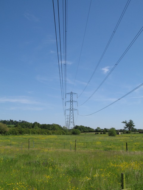
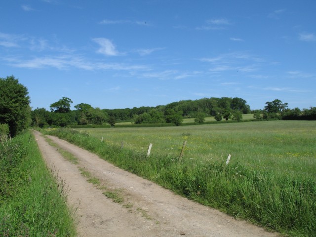
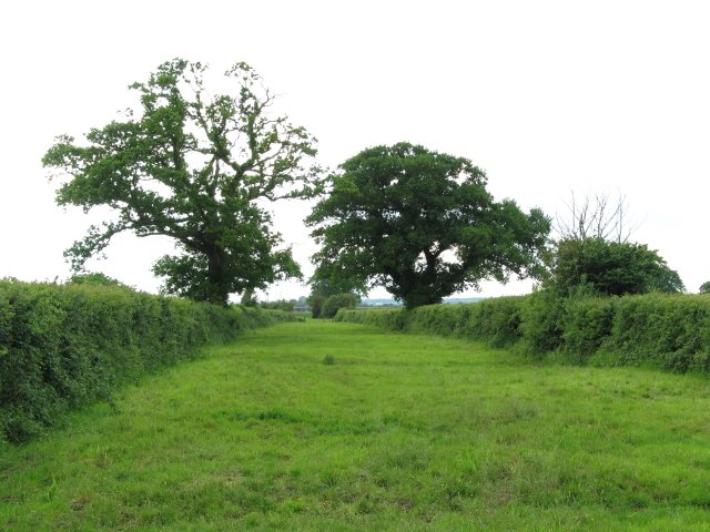
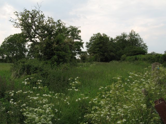
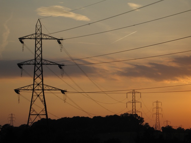
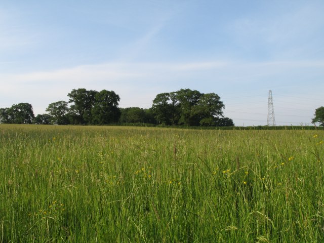
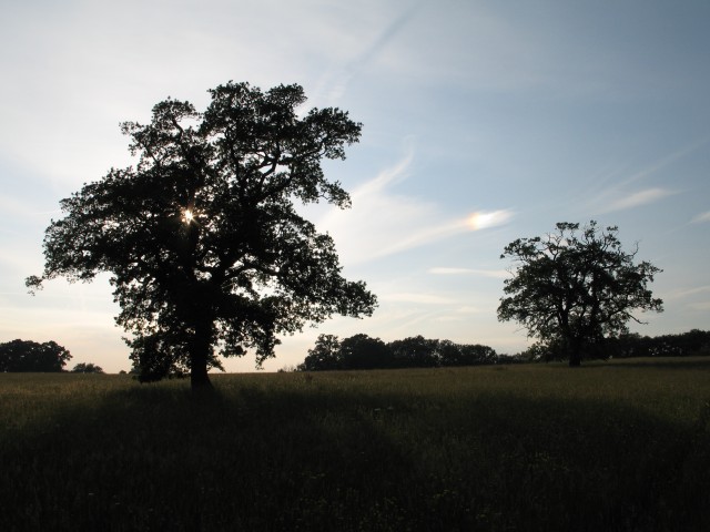
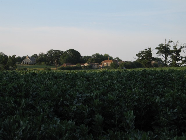
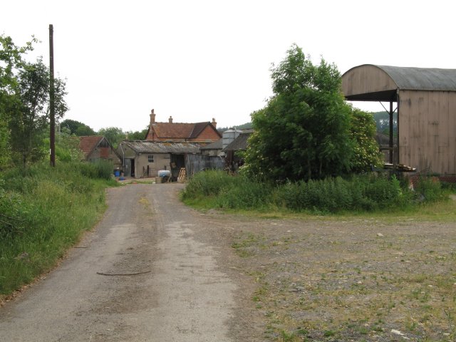
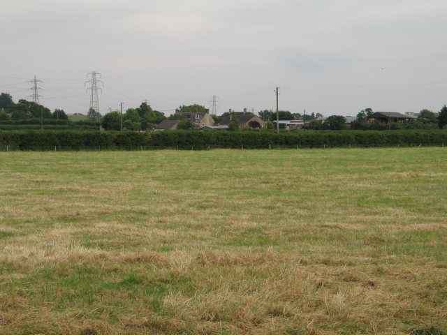
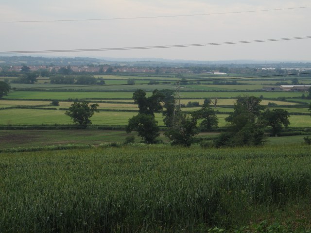
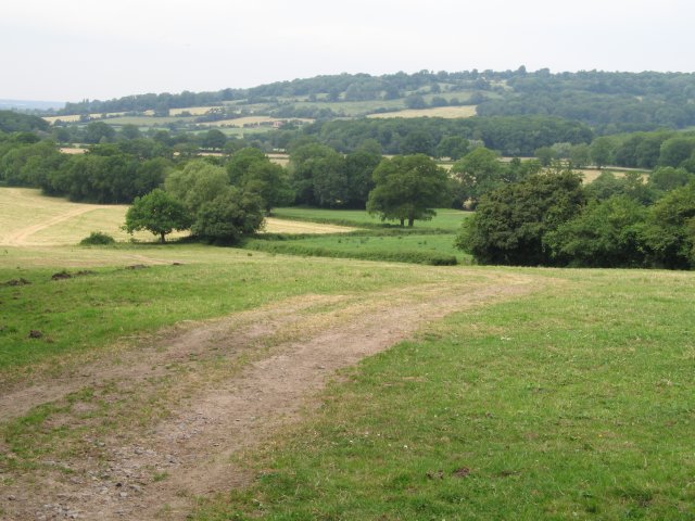
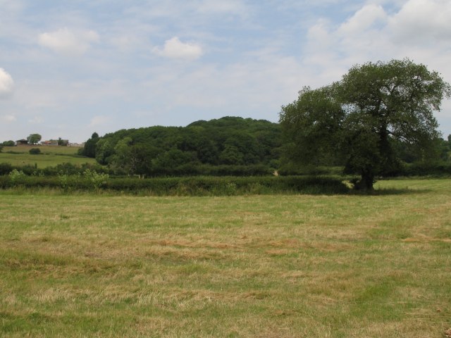
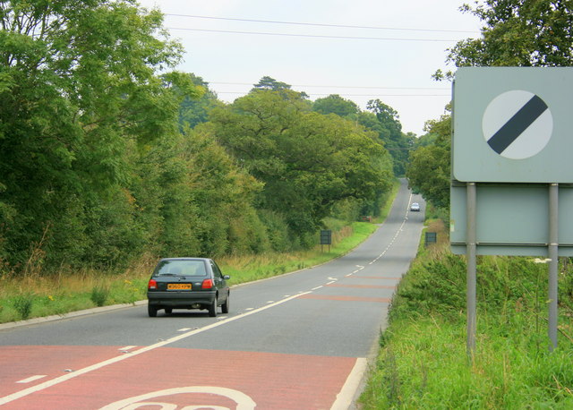
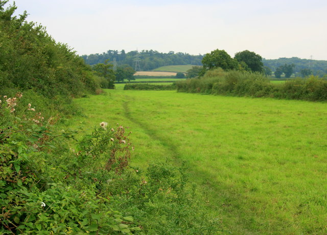
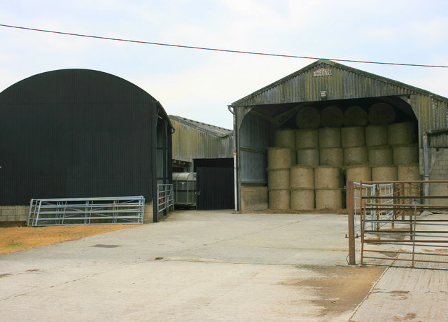
Morass Wood Images

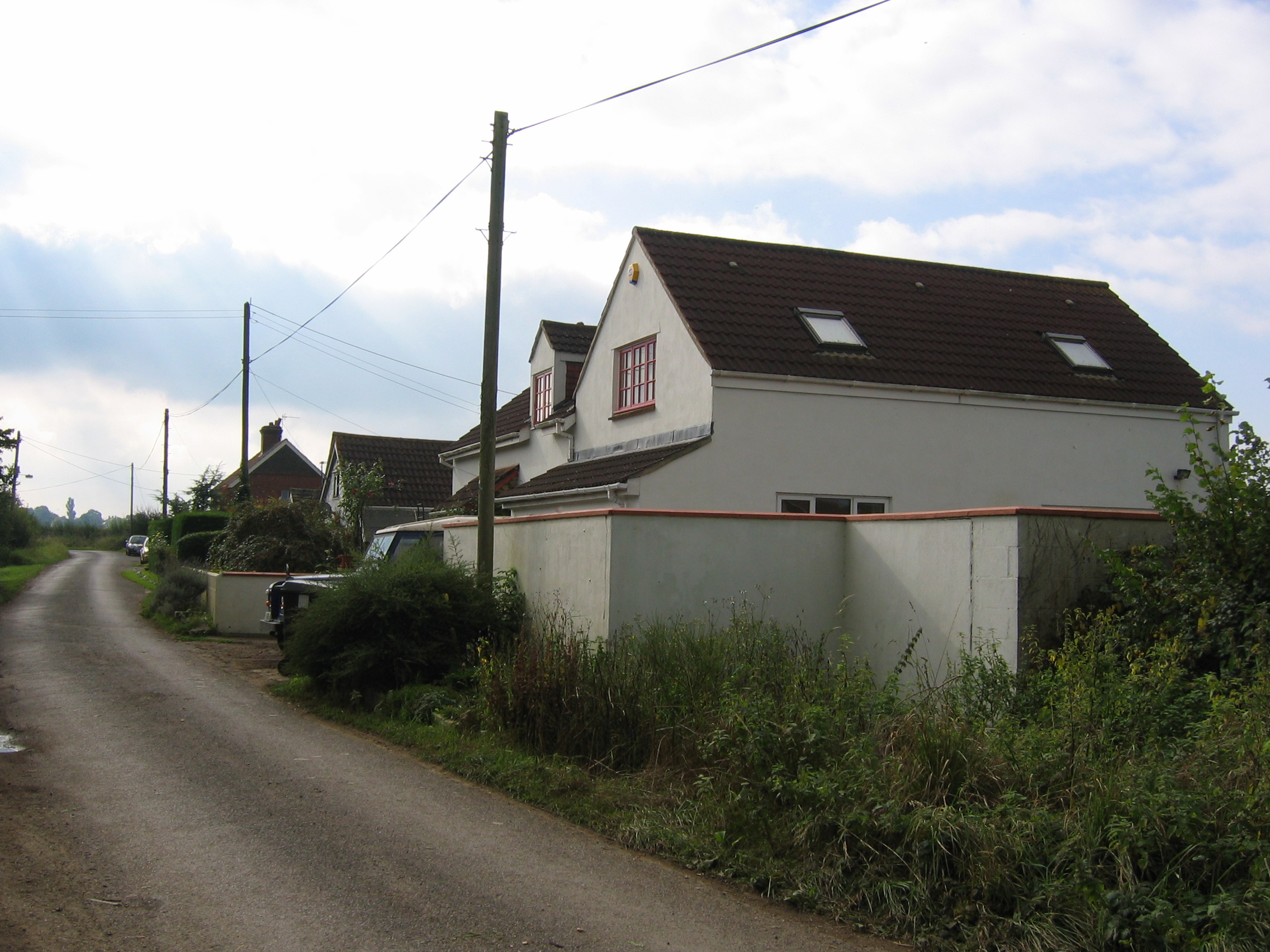
Images are sourced within 2km of 51.379285/-2.0866631 or Grid Reference ST9464. Thanks to Geograph Open Source API. All images are credited.

Pylons over open countryside View southeast at the junction of Woodrow Road (National Cycle Route 4) and New Road
Pylons over open countryside
View southeast at the junction of Woodrow Road (National Cycle Route 4) and New Road
Byway and open fields
Bridleway - possible old drove road This rather impressive bridle way is presumably an old drove road.  It runs from Snarlton Farm <a href="https://www.geograph.org.uk/gridref/ST9263">ST9263</a> to the Redstocks <a href="https://www.geograph.org.uk/gridref/ST9362">ST9362</a> although just south of this position it becomes somewhat overgrown
Bridleway - possible old drove road
This rather impressive bridle way is presumably an old drove road. It runs from Snarlton Farm ST9263 to the Redstocks ST9362 although just south of this position it becomes somewhat overgrown
Overgrown bridleway/old drove road
Lane from Rowde Croft Farm
Pylons near Rowde Croft Farm
Grassy field near  Broad Lane Farm
Grassy field near Broad Lane Farm
Trees near Broad Lane Farm Although this image was originally taken to record the spectrum resulting from sunlight reflected off the high level cloud to the upper left of the rightmost tree, this image does show the mature trees which can be found in this area.
Trees near Broad Lane Farm
Although this image was originally taken to record the spectrum resulting from sunlight reflected off the high level cloud to the upper left of the rightmost tree, this image does show the mature trees which can be found in this area.
Sandridge Farm
Sandridge Farm
Hack Farm
Hack Farm
Field near Blackmore Farm
View over crops towards Bowerhill
View from the end of Sandridge Lane
The Westbrook, Westbrook
Open fields and woodland west of Bromham
2008 : The A3102 eastbound About to climb Sandridge Hill heading for Calne. Melksham is about 3km behind.
2008 : The A3102 eastbound
About to climb Sandridge Hill heading for Calne. Melksham is about 3km behind.
2008 : Pasture and footpath near Little Snarlton Farm Sandridge Park is to the left on the far hill.
2008 : Pasture and footpath near Little Snarlton Farm
Sandridge Park is to the left on the far hill.
2008 : New Road Farm The idea of adding the word "new" to something to make it seem more attractive is not new by any means.
2008 : New Road Farm
The idea of adding the word "new" to something to make it seem more attractive is not new by any means.
Show me another place!

Morass Wood is located at Grid Ref: ST9464 (Lat: 51.379285, Lng: -2.0866631)

Unitary Authority: Wiltshire

Police Authority: Wiltshire

What 3 Words

///snappy.grapevine.mended. Near Seend, Wiltshire

Related Wikis

Sandridge, Wiltshire

Sandridge is a dispersed rural community to the east of Melksham, Wiltshire, England. It is part of the civil parish of Melksham Without. An Ordnance...

Melksham Without

Melksham Without is a civil parish in the county of Wiltshire, England. It surrounds, but does not include, the town of Melksham and is the largest rural...

Redstocks

Redstocks is a hamlet in Wiltshire, England; it is in the civil parish of Melksham Without and is 1.7 miles (2.7 km) east of Melksham. From 1886 to 1950...

Bromham, Wiltshire

Bromham is a village and civil parish in Wiltshire, England. The village is 3+1⁄2 miles (6 km) northwest of Devizes and the same distance east of Melksham...

Nearby Amenities

Located within 500m of 51.379285,-2.0866631
Colour: grey
Height: 46.99
Material: metal
Operator: National Grid
Operator Wikidata: Q1465461
Power: tower
Ref: YYM016
Source: Bing
Start Date: 1957
Structure: lattice
Lat/Long: 51.3758128/-2.0911801
Barrier: stile
Lat/Long: 51.3788995/-2.0803411
Sandridge Tower
Building: yes
Wikidata: Q26272625
Lat/Long: 51.3800117/-2.0861268
The data included in this document is from www.openstreetmap.org. The data is made available under ODbL.

Have you been to Morass Wood?

Leave your review of Morass Wood below (or comments, questions and feedback).