Torkington Wood

Wood, Forest in Cheshire

England

Torkington Wood

Old Milestone, Peak Forest Canal On the far side of Lock 15, in 1896 it would have been located on the towpath side. The destination would have been most likely Duckinfield. Portland Basin or Ashton Canal is too long for the chiselled-out lettering (WWII anti-invasion measures). 

Milestone Society National ID: PFC-08
Old Milestone, Peak Forest Canal Credit: Mr Red

Torkington Wood is a picturesque woodland situated in the county of Cheshire, England. Covering an area of approximately 100 acres, it is located near the village of Poynton and is easily accessible by foot or by car. The wood is a beloved natural gem, attracting nature enthusiasts, walkers, and families alike.

Torkington Wood is predominantly made up of deciduous trees, including oak, birch, and beech, which create a stunning canopy of green foliage during the summer months. The woodland floor is adorned with bluebells in the spring, creating a vibrant and colorful display. The trees provide a habitat for a variety of bird species, including woodpeckers, owls, and thrushes, making it a haven for birdwatchers.

The wood is home to a diverse range of wildlife, including deer, foxes, and squirrels, which can often be spotted by visitors exploring the area. There are several well-maintained footpaths within the wood, allowing visitors to immerse themselves in the tranquil surroundings and enjoy the beauty of nature.

Torkington Wood has a rich history, with evidence of human activity dating back to the Bronze Age. It has been used for timber production in the past, and remnants of old charcoal hearths can still be found within the wood. Today, the woodland is protected as a Site of Biological Importance, ensuring its preservation for future generations to enjoy.

Overall, Torkington Wood offers a serene escape from the hustle and bustle of everyday life, providing a peaceful haven for nature lovers and a place to appreciate the wonders of the natural world.

If you have any feedback on the listing, please let us know in the comments section below.

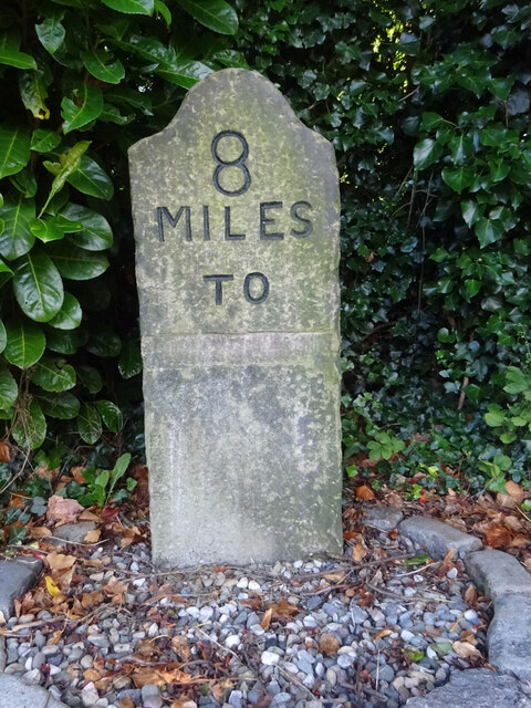
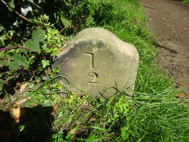
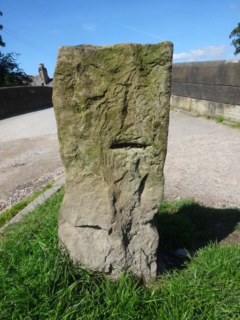
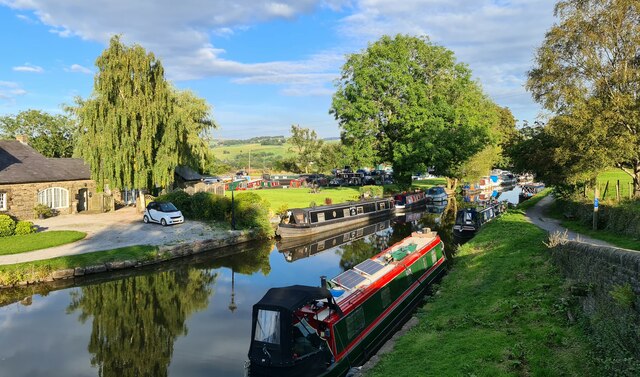
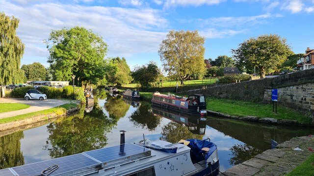
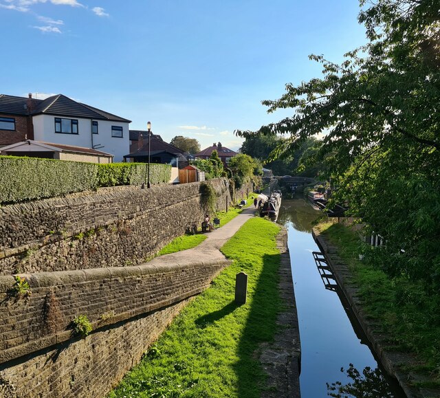
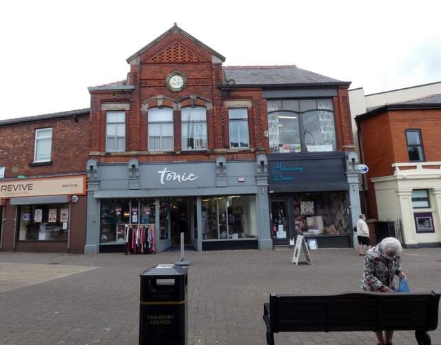
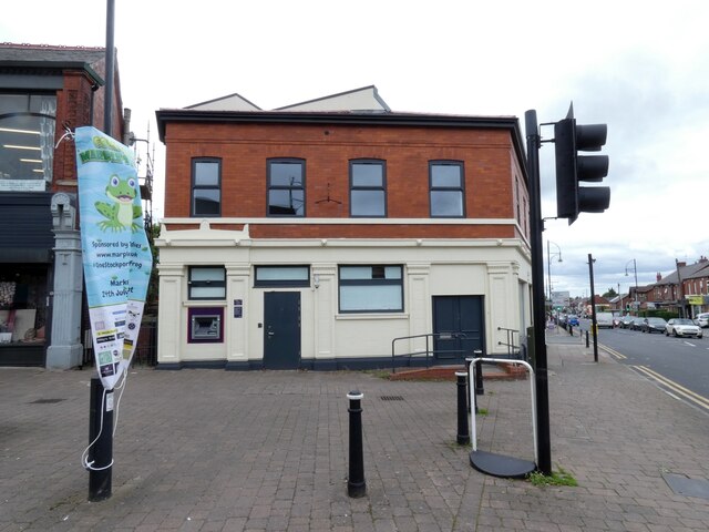
Torkington Wood Images

Images are sourced within 2km of 53.388475/-2.0871228 or Grid Reference SJ9487. Thanks to Geograph Open Source API. All images are credited.

Old Milestone, Peak Forest Canal On the far side of Lock 15, in 1896 it would have been located on the towpath side. The destination would have been most likely Duckinfield. Portland Basin or Ashton Canal is too long for the chiselled-out lettering (WWII anti-invasion measures). 

Milestone Society National ID: PFC-08
Old Milestone, Peak Forest Canal
On the far side of Lock 15, in 1896 it would have been located on the towpath side. The destination would have been most likely Duckinfield. Portland Basin or Ashton Canal is too long for the chiselled-out lettering (WWII anti-invasion measures). Milestone Society National ID: PFC-08
Old Milestone, Macclesfield Canal At Hawk Green, with a golf course beyond the towpath. This is half a mile from Marple Junction (with the Peak Forest Canal). The inscription on the reverse is damaged but looks to say "1/2" upside down as if reading by looking over the top of the MS.

Inscription: 1 / - / 2

Milestone Society National ID: MAC-00½
Old Milestone, Macclesfield Canal
At Hawk Green, with a golf course beyond the towpath. This is half a mile from Marple Junction (with the Peak Forest Canal). The inscription on the reverse is damaged but looks to say "1/2" upside down as if reading by looking over the top of the MS. Inscription: 1 / - / 2 Milestone Society National ID: MAC-00½
Canal Boundary Stone, Marple Junction Between Lockside/Bridge and Suttons Lane. It would mark the boundary of canal jurisdiction.

Milestone Society National ID: CH_MCMAR01em
Canal Boundary Stone, Marple Junction
Between Lockside/Bridge and Suttons Lane. It would mark the boundary of canal jurisdiction. Milestone Society National ID: CH_MCMAR01em
Peak Forest Canal at Marple
Peak Forest Canal at Marple At the junction with the Macclesfield Canal
Peak Forest Canal at Marple
At the junction with the Macclesfield Canal
Macclesfield Canal at Marple Where it joins the Peak Forest Canal immediately the other side of the bridge from which this shot was taken
Macclesfield Canal at Marple
Where it joins the Peak Forest Canal immediately the other side of the bridge from which this shot was taken
Revive, Tonic and Harmony Decor 
Shops on Market Street, Marple. Tonic was formerly Helen Winterson's ladies fashion shop <a href="https://www.geograph.org.uk/photo/3634450">SJ9588 : Helen Winterson's</a>.
Revive, Tonic and Harmony Decor
Shops on Market Street, Marple. Tonic was formerly Helen Winterson's ladies fashion shop SJ9588 : Helen Winterson's.
Former NatWest Bank  
Although the former bank <a href="https://www.geograph.org.uk/photo/3970943">SJ9588 : Marple - NatWest Bank</a> on the corner of Market Street and Stockport Road has closed, the ATM is still available.
Former NatWest Bank
Although the former bank SJ9588 : Marple - NatWest Bank on the corner of Market Street and Stockport Road has closed, the ATM is still available.
Former Barclays Bank The branch on the corner of Hollins Lane and Stockport Road is one of several banks to have closed in Marple in recent times.
Former Barclays Bank
The branch on the corner of Hollins Lane and Stockport Road is one of several banks to have closed in Marple in recent times.
Premises on Market Street, Marple 
On the right is Roger Fisher, opticians.

In the middle is The Samuel Oldknow. Named after the local businessman and mill owner who was responsible for much of the development of Marple and Mellor some 200 years ago. The micro-pub opened in  2016 and has a somewhat quirky two level bar in a converted shop.

On the left is Bevi, another micro-pub in what used to be a newsagents,

Note: Photograph is for record purposes only. The photographer has no personal connection with the businesses depicted.
Premises on Market Street, Marple
On the right is Roger Fisher, opticians. In the middle is The Samuel Oldknow. Named after the local businessman and mill owner who was responsible for much of the development of Marple and Mellor some 200 years ago. The micro-pub opened in 2016 and has a somewhat quirky two level bar in a converted shop. On the left is Bevi, another micro-pub in what used to be a newsagents, Note: Photograph is for record purposes only. The photographer has no personal connection with the businesses depicted.
Former RBS Bank The former RBS Bank on Market Street <a href="https://www.geograph.org.uk/photo/3970947">SJ9588 : Marple - RBS Bank</a>.
Former RBS Bank
The former RBS Bank on Market Street SJ9588 : Marple - RBS Bank.
Canal Frog 
Located on Market Street, Canal Frog represents Marple North Ward and Marple South & High Lane Ward. It is sponsored by   Marple Indies <span class="nowrap"><a title="https://www.marpleindies.co.uk/" rel="nofollow ugc noopener" href="https://www.marpleindies.co.uk/">Link</a><img style="margin-left:2px;" alt="External link" title="External link - shift click to open in new window" src="https://s1.geograph.org.uk/img/external.png" width="10" height="10"/></span> and   is one of 17 frogs taking up residence in wards across Stockport Borough in addition to the 21 frogs across the town centre. as part of Stockport's Gigantic Leap Frog Art Trail.
Canal Frog
Located on Market Street, Canal Frog represents Marple North Ward and Marple South & High Lane Ward. It is sponsored by Marple Indies LinkExternal link and is one of 17 frogs taking up residence in wards across Stockport Borough in addition to the 21 frogs across the town centre. as part of Stockport's Gigantic Leap Frog Art Trail.
Derby Way Pedestrianised shopping street linking Derby Street with Market Street.
Derby Way
Pedestrianised shopping street linking Derby Street with Market Street.
Resurfacing Hazelwood Road, Hazel Grove The road is closed for vehicles for two weeks, but not the pavements.
Resurfacing Hazelwood Road, Hazel Grove
The road is closed for vehicles for two weeks, but not the pavements.
Traffic-free Hazelwood Road, Hazel Grove Closed to vehicles for two weeks, for resurfacing.
Traffic-free Hazelwood Road, Hazel Grove
Closed to vehicles for two weeks, for resurfacing.
Show me another place!

Torkington Wood is located at Grid Ref: SJ9487 (Lat: 53.388475, Lng: -2.0871228)

Unitary Authority: Stockport

Police Authority: Greater Manchester

What 3 Words

///final.pretty.clues. Near Marple, Manchester

Related Wikis

Old Manor Farm, Marple

Old Manor Farm is a 15th-century hall in Marple, Stockport, historically in Cheshire, now within Greater Manchester, England (grid reference SJ945885)...

Rose Hill Marple railway station

Rose Hill Marple railway station is in Marple in the Metropolitan Borough of Stockport, England. The station, which opened in 1869, is the last surviving...

Marple Hall School

Marple Hall School is a secondary school located in Marple, Greater Manchester. == Admissions == The headteacher is Joseph Barker. The school is situated...

Whitworth Community High School

Whitworth Community High School is a secondary school in the village of Whitworth, Rossendale, Lancashire. It is currently designated as "Good" by Ofsted...

Related Videos

Peak Forest Canal Walk, English Countryside 4K

https://www.buymeacoffee.com/Daveswalks All support is hugely appreciated and it helps me keep the channel going! No talking ...

Marple Aqueduct and Canal Walk, English Countryside 4K

https://www.buymeacoffee.com/Daveswalks All support is hugely appreciated and it helps me keep the channel going! No talking ...

Canals, Tunnels & Aqueducts: Walking the Peak Forest Canal to Marple

Join us as we walk from the Portland Basin in Ashton, along the Peak Forest Canal to Marple, navigating through tunnels, across ...

Nearby Amenities

Located within 500m of 53.388475,-2.0871228
Power: pole
Lat/Long: 53.3847456/-2.0908061
Power: pole
Lat/Long: 53.3854708/-2.0892417
Power: pole
Lat/Long: 53.3853305/-2.0878615
Power: pole
Lat/Long: 53.3851998/-2.0866928
Power: pole
Lat/Long: 53.3850767/-2.0855034
Power: pole
Lat/Long: 53.3849353/-2.0843281
Power: pole
Lat/Long: 53.3848107/-2.0832338
Crossing
Lat/Long: 53.3881721/-2.0899945
Crossing
Lat/Long: 53.3871751/-2.0897903
The data included in this document is from www.openstreetmap.org. The data is made available under ODbL.

Have you been to Torkington Wood?

Leave your review of Torkington Wood below (or comments, questions and feedback).