Birkeybank Plantation
Wood, Forest in Durham
England
Birkeybank Plantation
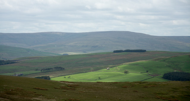
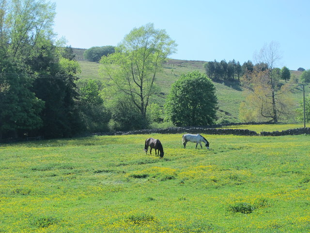
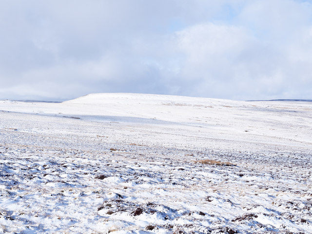
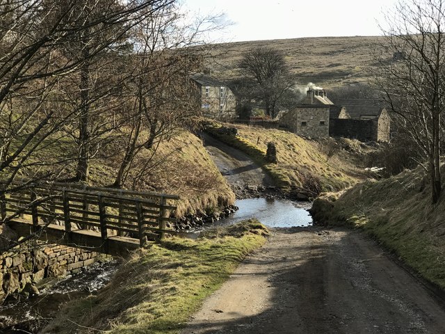
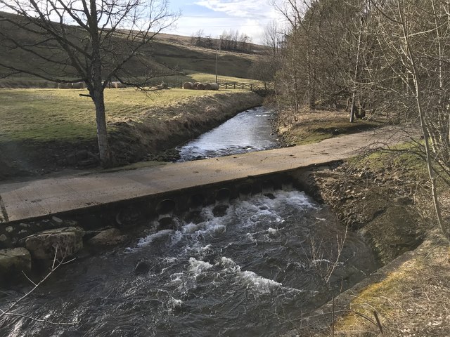
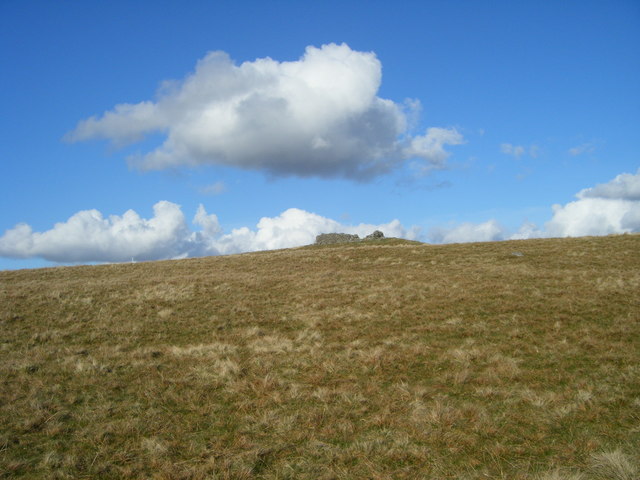
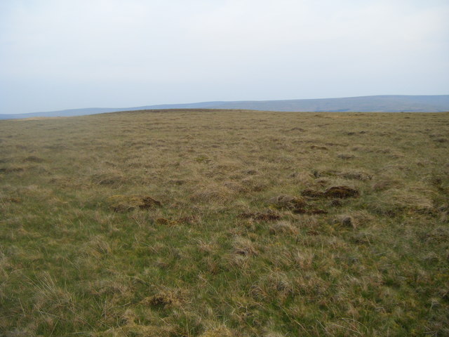
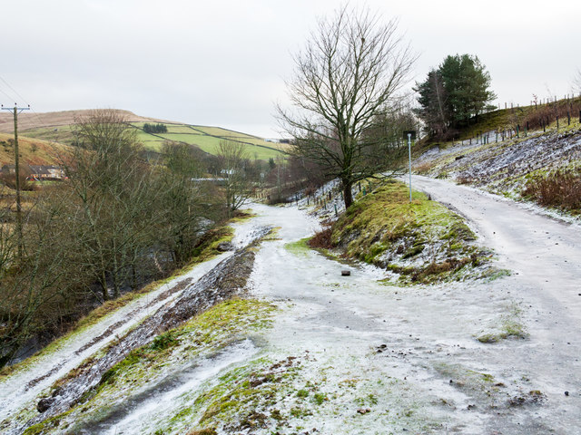
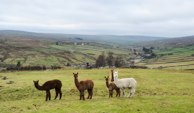
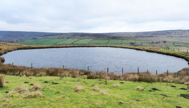
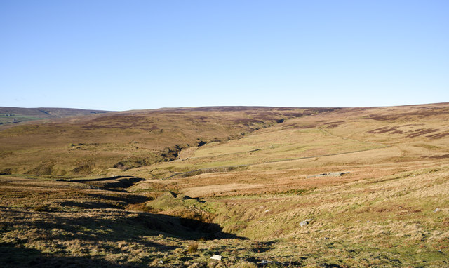
Birkeybank Plantation is a historic woodland located in Durham, England. Situated in the county's woodlands and forest region, the plantation covers several acres of land. It is known for its diverse and well-preserved ecosystem, comprising a mix of deciduous and coniferous trees, including oak, beech, pine, and cedar.
The plantation has a rich history, dating back several centuries. Originally, it served as a hunting ground for local nobility, who utilized the area for recreational purposes. Over time, it transitioned into a working forest, with the timber being harvested for various purposes, including construction and fuel.
Today, Birkeybank Plantation is managed by a conservation organization, which aims to protect and preserve the natural habitat. The woodland serves as an important habitat for various species of wildlife, including deer, rabbits, foxes, and a wide range of bird species.
Visitors to Birkeybank Plantation can explore the well-maintained walking trails that crisscross through the woodland. These trails offer scenic views of the surrounding landscape, with opportunities for birdwatching and nature photography. The plantation also provides educational programs and guided tours for schools and nature enthusiasts, promoting awareness and understanding of the local ecosystem.
Overall, Birkeybank Plantation is a cherished natural resource in Durham, offering a tranquil retreat from the bustling city life. Its historical significance, combined with its diverse wildlife and picturesque landscapes, make it a popular destination for nature lovers and conservationists alike.
If you have any feedback on the listing, please let us know in the comments section below.
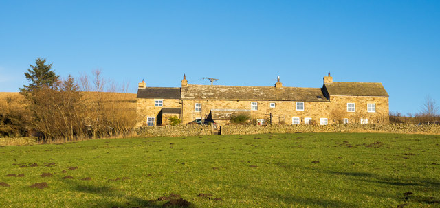
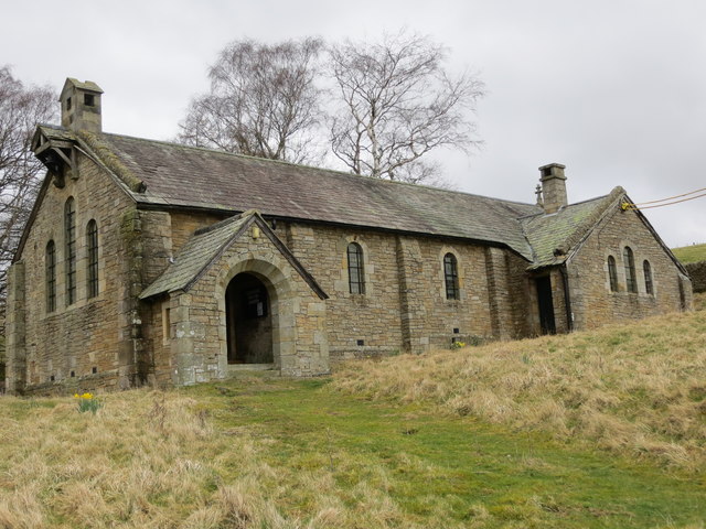
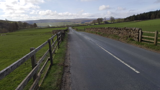
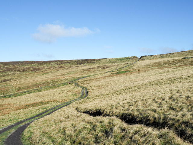
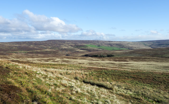
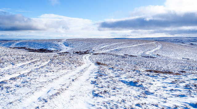
Birkeybank Plantation Images
Images are sourced within 2km of 54.770899/-2.0905576 or Grid Reference NY9441. Thanks to Geograph Open Source API. All images are credited.
Birkeybank Plantation is located at Grid Ref: NY9441 (Lat: 54.770899, Lng: -2.0905576)
Unitary Authority: County Durham
Police Authority: Durham
What 3 Words
///doubt.hotspot.dummy. Near Stanhope, Co. Durham
Nearby Locations
Related Wikis

Rookhope
Rookhope is a village in the civil parish of Stanhope, in County Durham, England. A former lead and fluorspar mining community, it first existed as a group...

Lintzgarth
Lintzgarth is a village in the civil parish of Stanhope, in County Durham, England. It is situated to the west of Rookhope. The Lintzgarth smeltmill was...

Eastgate, County Durham
Eastgate is a village in the civil parish of Stanhope, in County Durham, England. It is situated in Weardale, a few miles west of Stanhope. In the 2001...

Eastgate railway station
Eastgate railway station, also known as Eastgate-in-Weardale, served the village of Eastgate in County Durham, North East England from 1895 to 1953 as...

Weardale campaign
The Weardale campaign, part of the First War of Scottish Independence, occurred during July and August 1327 in Weardale, England. A Scottish force under...

Horsley Hall
Horsley Hall is a 17th-century country house, now in use as a hotel, near Stanhope, County Durham, England. It is a Grade II listed building. The manor...

West Rigg Open Cutting
West Rigg Open Cutting is a Site of Special Scientific Interest in the Wear Valley district of west County Durham, England. It is a disused ironstone...

A689 road
The A689 is a road in northern England that runs east from the A595, 3.1 miles (5.0 km) to the west of Carlisle in Cumbria, to Hartlepool in County Durham...
Nearby Amenities
Located within 500m of 54.770899,-2.0905576Have you been to Birkeybank Plantation?
Leave your review of Birkeybank Plantation below (or comments, questions and feedback).