Bog Wood
Wood, Forest in Northumberland
England
Bog Wood
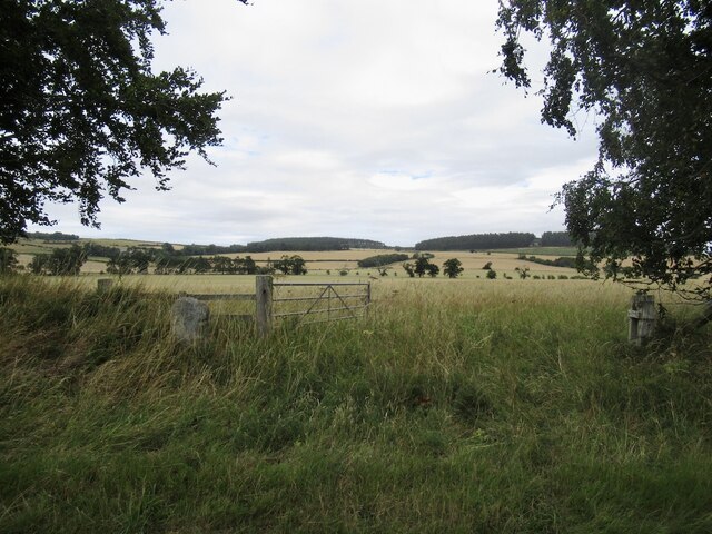
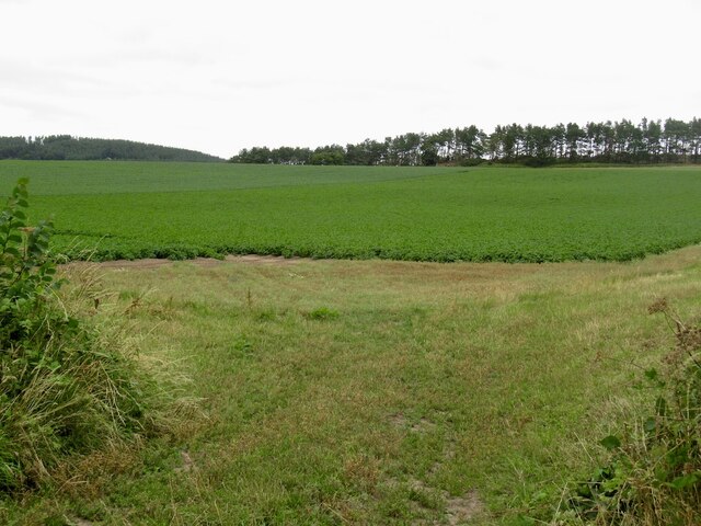
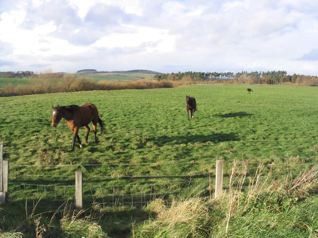
Bog Wood is a forested area located in Northumberland, a county in the northeastern part of England. It is situated within the wider Kielder Forest, which is known for its vast woodland and beautiful landscapes. Bog Wood, as the name suggests, is characterized by its boggy terrain, with numerous wetlands and peat bogs dotting the area.
The forest is home to a diverse range of flora and fauna, making it a popular destination for nature enthusiasts and wildlife lovers. The woodland primarily consists of native tree species such as Scots Pine, Sitka Spruce, and Silver Birch, which provide a rich habitat for various birds, mammals, and insects. Visitors to Bog Wood may have the chance to spot species such as red squirrels, roe deer, and a variety of bird species including crossbills and ospreys.
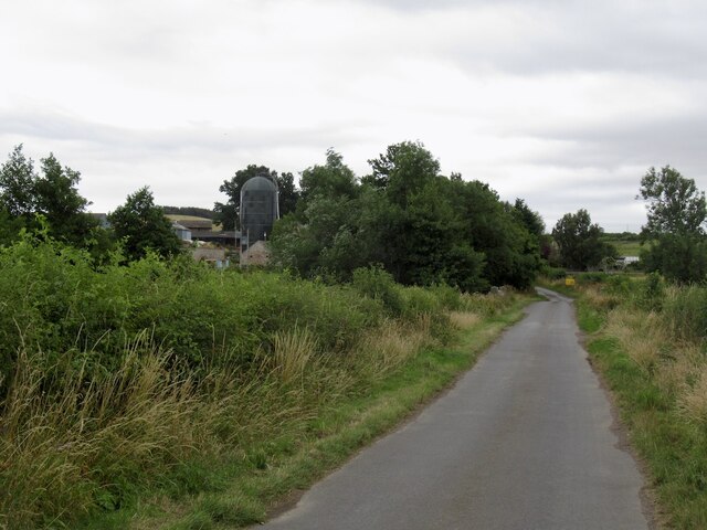
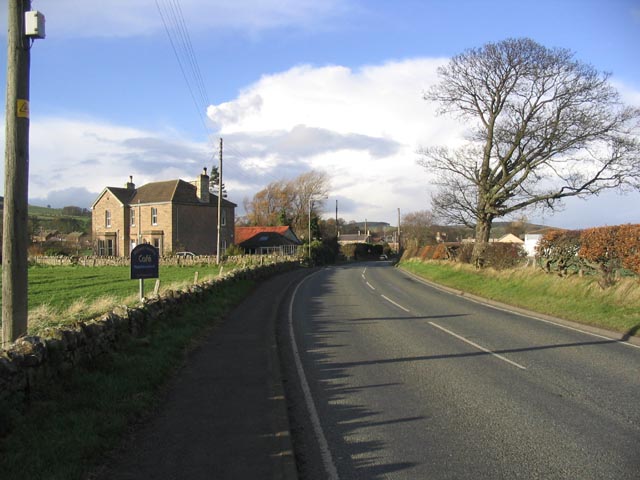
In addition to its abundant wildlife, Bog Wood offers a tranquil and picturesque setting for outdoor activities and exploration. The area is crisscrossed by numerous walking trails and paths, allowing visitors to immerse themselves in the natural beauty of the forest. Whether it's a leisurely stroll or a more adventurous hike, there are options for all levels of fitness and ability.
Bog Wood is also part of the wider Kielder Water and Forest Park, which offers additional recreational opportunities such as cycling, fishing, and water sports on the nearby Kielder Water reservoir. With its unique boggy landscape and diverse wildlife, Bog Wood is a must-visit destination for nature lovers and those seeking to experience the beauty of Northumberland's forests.
If you have any feedback on the listing, please let us know in the comments section below.
Bog Wood Images
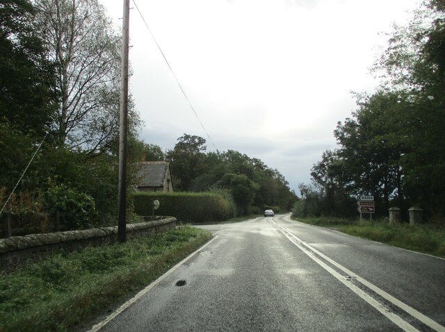
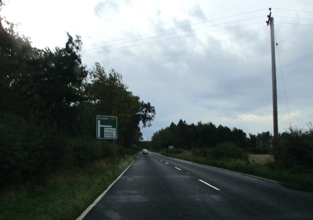
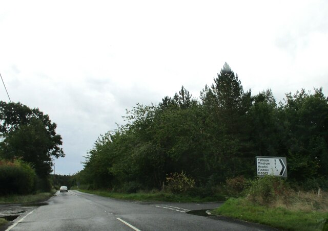
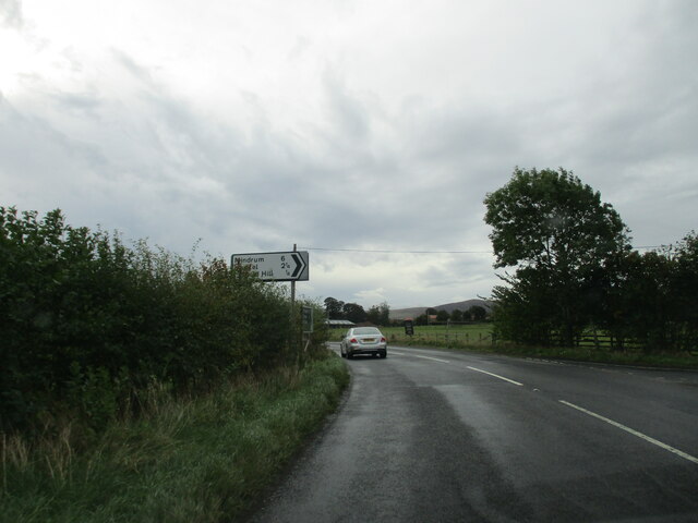
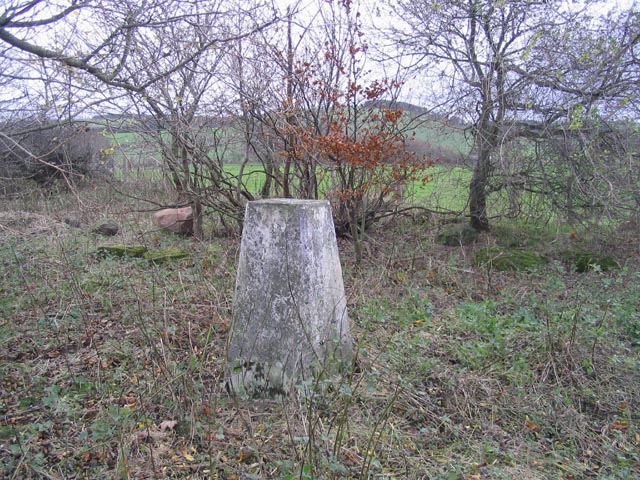
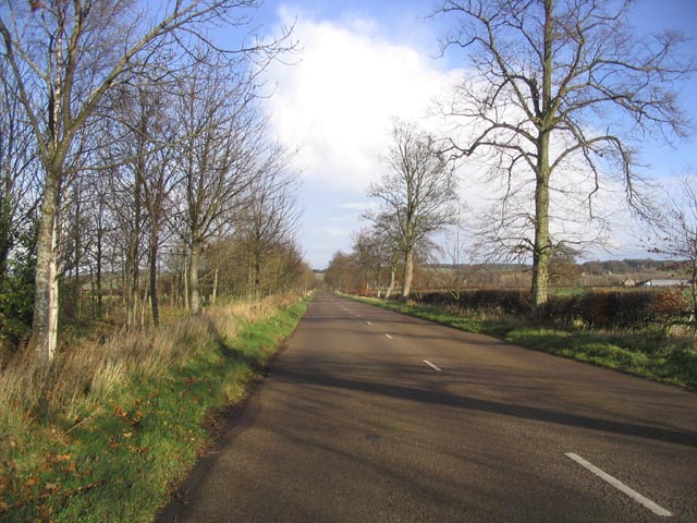
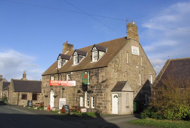
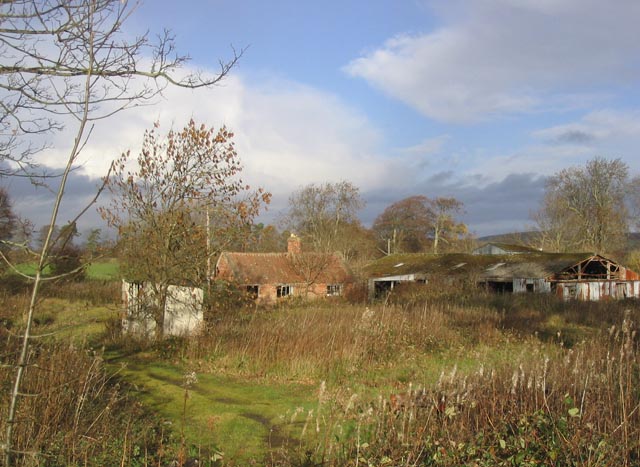
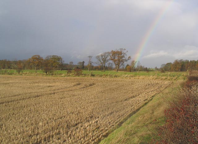
Images are sourced within 2km of 55.611131/-2.0927434 or Grid Reference NT9435. Thanks to Geograph Open Source API. All images are credited.
Bog Wood is located at Grid Ref: NT9435 (Lat: 55.611131, Lng: -2.0927434)
Unitary Authority: Northumberland
Police Authority: Northumbria
What 3 Words
///connected.annual.spindles. Near Ford, Northumberland
Nearby Locations
Related Wikis

Maelmin Henge
Maelmin Henge is modern interpretation/reconstruction of a henge monument near the village of Milfield, Northumberland in the Till Valley.It was built...

Glendale, Northumberland
Glendale is the name of a valley in North Northumberland that runs from the Cheviot Hills at Kirknewton onto the Milfield Plain, formed by the River Glen...

Milfield
Milfield is a village in Northumberland, England about 3 miles (5 km) northwest of Wooler. The A697 road passes through the village. == History == Milfield...

Ford Castle
Ford Castle is a Grade I listed building situated at a shallow crossing point on the River Till, Ford, Northumberland, England. The castle dates from about...

Ford, Northumberland
Ford is a small village and civil parish in Northumberland, England, about 13 miles (21 km) from Berwick-upon-Tweed. The parish also includes Etal. �...
RAF Milfield
Royal Air Force Milfield or more simply RAF Milfield is a former Royal Air Force station which operated during the Second World War, located near Milfield...

Lady Waterford Hall
Lady Waterford Hall is the former village school of the estate village of Ford, Northumberland. It is now used as the village hall and is a Grade II* listed...

Heatherslaw Mill
Heatherslaw Mill is a water mill situated on the Ford and Etal Estate, 7 miles north of the town of Wooler in the English county of Northumberland. It...
Have you been to Bog Wood?
Leave your review of Bog Wood below (or comments, questions and feedback).