Bracken Pot Wood

Wood, Forest in Yorkshire Craven

England

Bracken Pot Wood

Kealcup Laithe The building has been very well looked after with all mod cons - guttering is not common on such buildings well away from its farm. It looks out across rough grazing below the public bridleway from Smearbottoms Lane to Bordley on the southern slopes of Kealcup Hill. The lone tree in the centre of the view is above  Heber Beck within New House Farm National Nature Reserve.
Kealcup Laithe Credit: Andy Waddington

Bracken Pot Wood is a picturesque woodland located in Yorkshire, England. Nestled in the heart of the county, this enchanting forest covers an area of approximately 100 acres and is a popular destination for nature lovers and outdoor enthusiasts. The wood is well-known for its stunning natural beauty, offering visitors a tranquil and serene environment to explore.

As the name suggests, Bracken Pot Wood is abundant with a variety of bracken plants, which contribute to the wood's vibrant and lush greenery. The forest is also home to a diverse range of tree species, including oak, beech, and birch, which provide a dense canopy and create a cool and shaded atmosphere even on hot summer days.

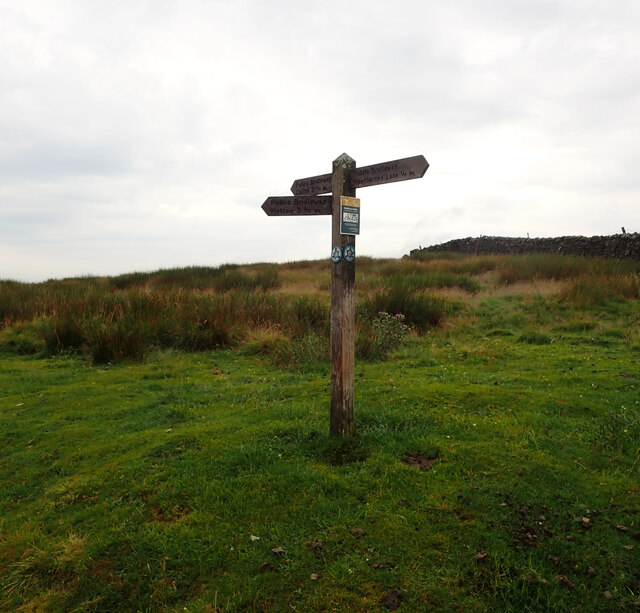
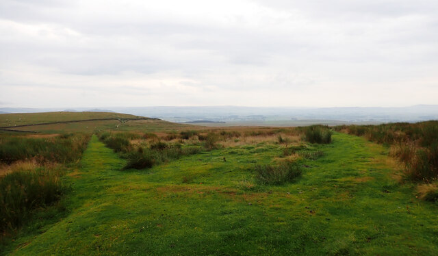
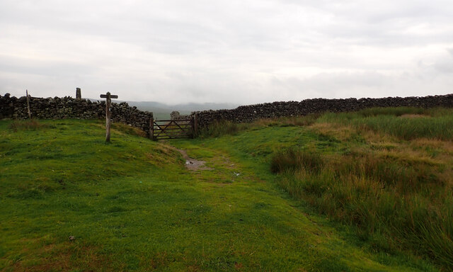
The wood is crisscrossed with a network of walking trails, allowing visitors to immerse themselves in the peaceful surroundings and discover the hidden gems within. These paths wind through the trees, offering glimpses of wildlife such as deer, squirrels, and a wide array of bird species. Nature enthusiasts can also find a variety of wildflowers and fungi, adding bursts of color to the forest floor throughout the year.

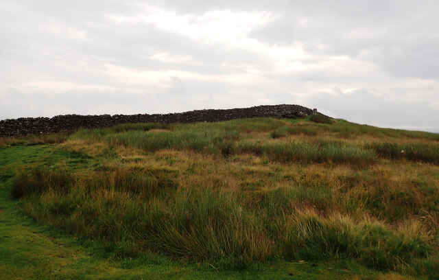
Bracken Pot Wood is not only a haven for flora and fauna but also a place of historical significance. The wood has remnants of ancient settlements, with archaeological finds revealing evidence of human habitation dating back thousands of years. This rich history adds an extra layer of fascination for those exploring the wood.

Overall, Bracken Pot Wood is a captivating and idyllic destination in Yorkshire, offering visitors a chance to connect with nature, discover its hidden treasures, and appreciate the awe-inspiring beauty of the forest.

If you have any feedback on the listing, please let us know in the comments section below.

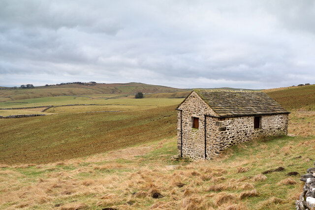
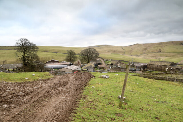
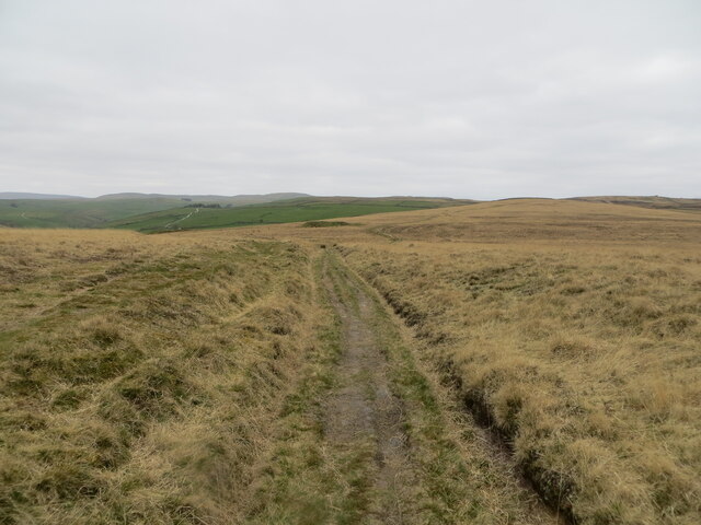
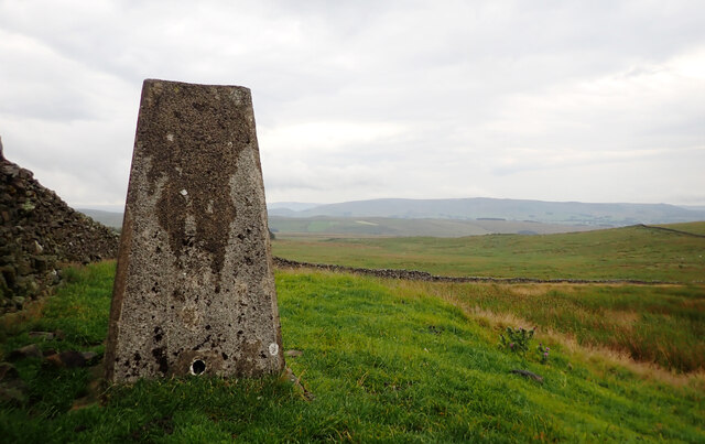
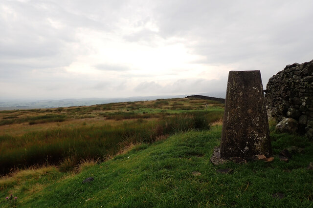
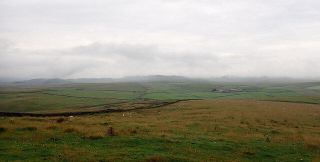
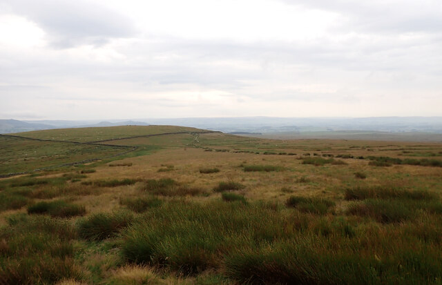
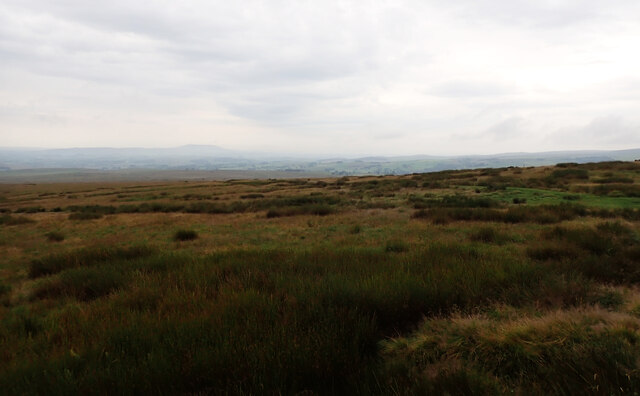
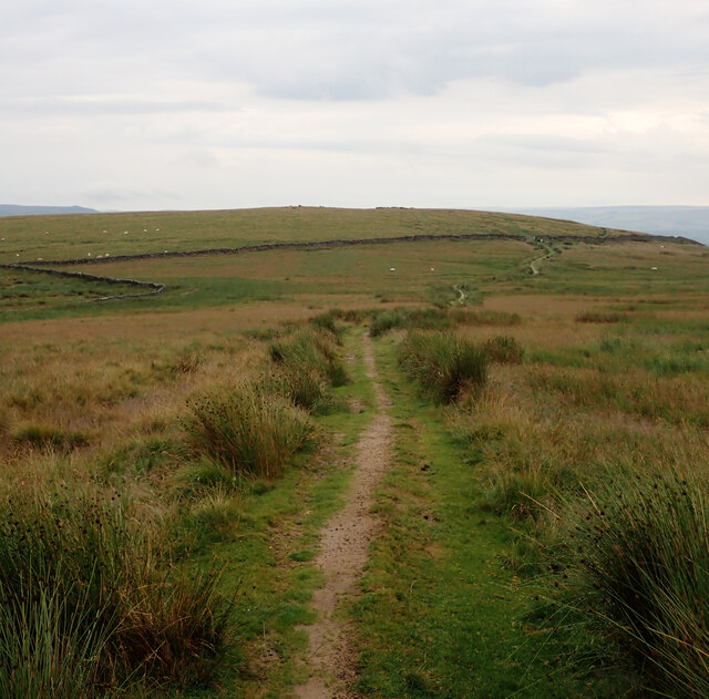
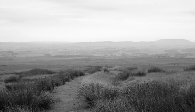
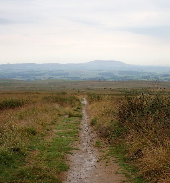
Bracken Pot Wood Images

Images are sourced within 2km of 54.067053/-2.0913832 or Grid Reference SD9463. Thanks to Geograph Open Source API. All images are credited.

Kealcup Laithe The building has been very well looked after with all mod cons - guttering is not common on such buildings well away from its farm. It looks out across rough grazing below the public bridleway from Smearbottoms Lane to Bordley on the southern slopes of Kealcup Hill. The lone tree in the centre of the view is above  Heber Beck within New House Farm National Nature Reserve.
Kealcup Laithe
The building has been very well looked after with all mod cons - guttering is not common on such buildings well away from its farm. It looks out across rough grazing below the public bridleway from Smearbottoms Lane to Bordley on the southern slopes of Kealcup Hill. The lone tree in the centre of the view is above Heber Beck within New House Farm National Nature Reserve.
Bordley Farms The hamlet of Bordley consists mainly of two farms, Bordley Green farm (on the left) and Bordley House Farm (on the right). From the perspective of a walker passing by, the farms seem to exist to house two sets of dogs who each compete to drown out the other during one's approach and passage between the buildings. Chickens and a cockerel have no hesitation in joining the fray, so I'm sure none of the human occupants would have heard my own dog's attempts to compete. The muddy approach is by a public bridleway, which can be seen continuing between walls beyond the farms. These are by no means the only rights of way which converge here, there being another bridleway and four separate public footpaths, walkers thereupon no doubt offering many opportunities for canine choir practice.
Bordley Farms
The hamlet of Bordley consists mainly of two farms, Bordley Green farm (on the left) and Bordley House Farm (on the right). From the perspective of a walker passing by, the farms seem to exist to house two sets of dogs who each compete to drown out the other during one's approach and passage between the buildings. Chickens and a cockerel have no hesitation in joining the fray, so I'm sure none of the human occupants would have heard my own dog's attempts to compete. The muddy approach is by a public bridleway, which can be seen continuing between walls beyond the farms. These are by no means the only rights of way which converge here, there being another bridleway and four separate public footpaths, walkers thereupon no doubt offering many opportunities for canine choir practice.
Track crossing the open expanse of Boss Moor Looking northward.
Track crossing the open expanse of Boss Moor
Looking northward.
Triangulation Pillar, Weets Top
A view from Weets Top
Direction post, Weets Gate The sign reads:
"Public Bridleway
Calton 2¾ Ml

Public Bridleway
Hawthornes Lane ¼ Ml

Public Bridleway
Hetton 3¾ Ml".
Direction post, Weets Gate
The sign reads: "Public Bridleway Calton 2¾ Ml Public Bridleway Hawthornes Lane ¼ Ml Public Bridleway Hetton 3¾ Ml".
Bridleways to Hetton and Calton, Weets Gate
Bridleway to Hawthornes Lane, Weets Gate An exhilarating and challenging 90 miles across the glorious high country of the Yorkshire Dales with over 13,900 ft of ascent. Walk this spectacular landscape from Saltaire to Appleby-in-Westmorland. Explore its rich history, geology and culture. Return with a breathtaking train ride along England's most beautiful railway.

From Saltaire the route crosses the darkly mysterious Rombalds Moor, with its Stone Age rock art, and follows the dramatic limestone scars of Malhamdale. It meanders along the bank of the River Ribble and climbs the mighty Ingleborough. It skirts the flanks of Whernside and in a breathtaking six-mile ridge walk crosses the velvety folds of the Howgill Fells. It passes the isolated splendour of Sunbiggin Tarn before dropping into the lush green of the Eden valley to finish in Appleby.
Bridleway to Hawthornes Lane, Weets Gate
An exhilarating and challenging 90 miles across the glorious high country of the Yorkshire Dales with over 13,900 ft of ascent. Walk this spectacular landscape from Saltaire to Appleby-in-Westmorland. Explore its rich history, geology and culture. Return with a breathtaking train ride along England's most beautiful railway. From Saltaire the route crosses the darkly mysterious Rombalds Moor, with its Stone Age rock art, and follows the dramatic limestone scars of Malhamdale. It meanders along the bank of the River Ribble and climbs the mighty Ingleborough. It skirts the flanks of Whernside and in a breathtaking six-mile ridge walk crosses the velvety folds of the Howgill Fells. It passes the isolated splendour of Sunbiggin Tarn before dropping into the lush green of the Eden valley to finish in Appleby.
Weets Top seen from Weets Gate
Bridleway to Hetton, Weets Gate An exhilarating and challenging 90 miles across the glorious high country of the Yorkshire Dales with over 13,900 ft of ascent. Walk this spectacular landscape from Saltaire to Appleby-in-Westmorland. Explore its rich history, geology and culture. Return with a breathtaking train ride along England's most beautiful railway.

From Saltaire the route crosses the darkly mysterious Rombalds Moor, with its Stone Age rock art, and follows the dramatic limestone scars of Malhamdale. It meanders along the bank of the River Ribble and climbs the mighty Ingleborough. It skirts the flanks of Whernside and in a breathtaking six-mile ridge walk crosses the velvety folds of the Howgill Fells. It passes the isolated splendour of Sunbiggin Tarn before dropping into the lush green of the Eden valley to finish in Appleby.
Bridleway to Hetton, Weets Gate
An exhilarating and challenging 90 miles across the glorious high country of the Yorkshire Dales with over 13,900 ft of ascent. Walk this spectacular landscape from Saltaire to Appleby-in-Westmorland. Explore its rich history, geology and culture. Return with a breathtaking train ride along England's most beautiful railway. From Saltaire the route crosses the darkly mysterious Rombalds Moor, with its Stone Age rock art, and follows the dramatic limestone scars of Malhamdale. It meanders along the bank of the River Ribble and climbs the mighty Ingleborough. It skirts the flanks of Whernside and in a breathtaking six-mile ridge walk crosses the velvety folds of the Howgill Fells. It passes the isolated splendour of Sunbiggin Tarn before dropping into the lush green of the Eden valley to finish in Appleby.
Sheep by the bridleway to Hetton, Weets Gate
Bridleway to Hetton, Weets Gate An exhilarating and challenging 90 miles across the glorious high country of the Yorkshire Dales with over 13,900 ft of ascent. Walk this spectacular landscape from Saltaire to Appleby-in-Westmorland. Explore its rich history, geology and culture. Return with a breathtaking train ride along England's most beautiful railway.

From Saltaire the route crosses the darkly mysterious Rombalds Moor, with its Stone Age rock art, and follows the dramatic limestone scars of Malhamdale. It meanders along the bank of the River Ribble and climbs the mighty Ingleborough. It skirts the flanks of Whernside and in a breathtaking six-mile ridge walk crosses the velvety folds of the Howgill Fells. It passes the isolated splendour of Sunbiggin Tarn before dropping into the lush green of the Eden valley to finish in Appleby.
Bridleway to Hetton, Weets Gate
An exhilarating and challenging 90 miles across the glorious high country of the Yorkshire Dales with over 13,900 ft of ascent. Walk this spectacular landscape from Saltaire to Appleby-in-Westmorland. Explore its rich history, geology and culture. Return with a breathtaking train ride along England's most beautiful railway. From Saltaire the route crosses the darkly mysterious Rombalds Moor, with its Stone Age rock art, and follows the dramatic limestone scars of Malhamdale. It meanders along the bank of the River Ribble and climbs the mighty Ingleborough. It skirts the flanks of Whernside and in a breathtaking six-mile ridge walk crosses the velvety folds of the Howgill Fells. It passes the isolated splendour of Sunbiggin Tarn before dropping into the lush green of the Eden valley to finish in Appleby.
Bridleway to Calton, Weets Gate
Bridleway to Calton, The Weets
Show me another place!

Bracken Pot Wood is located at Grid Ref: SD9463 (Lat: 54.067053, Lng: -2.0913832)

Division: West Riding

Administrative County: North Yorkshire

District: Craven

Police Authority: North Yorkshire

What 3 Words

///restore.uniform.gymnasium. Near Grassington, North Yorkshire

Related Wikis

Bordley

Bordley is a village in the civil parish of Hetton-cum-Bordley, in North Yorkshire, England, within the Yorkshire Dales National Park and 12 miles (19...
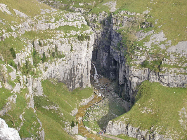
Gordale Scar

Gordale Scar is a limestone ravine 1 mile (1.6 km) north-east of Malham, North Yorkshire, England. It contains two waterfalls and has overhanging limestone...

Winterburn Reservoir

Winterburn Reservoir is located near the village of Winterburn in Malhamdale, North Yorkshire, England. It was constructed between 1885 and 1893 by Leeds...

Friar Garth Farmhouse

Friar Garth Farmhouse is a Grade II listed building in Malham, North Yorkshire, England. It was listed as an historic site by English Heritage on 13 September...

Nearby Amenities

Located within 500m of 54.067053,-2.0913832
Historic: mine_shaft
Note: not confirmed
Source: Bing
Lat/Long: 54.065238/-2.0849984
Low Laithe
Building: barn
Source: OS 1:25k;Bing
Lat/Long: 54.0684841/-2.0957582
Natural: spring
Source: OS 133,1852
Lat/Long: 54.0711578/-2.0910991
Power: pole
Source: EsriWorldImageryClarity;Bing
Lat/Long: 54.0710223/-2.08979
Power: pole
Source: EsriWorldImageryClarity
Lat/Long: 54.069434/-2.0890709
Power: pole
Source: EsriWorldImageryClarity
Lat/Long: 54.0687307/-2.0887332
Source: EsriWorldImageryClarity
Lat/Long: 54.0681358/-2.0845972
Power: pole
Source: EsriWorldImageryClarity
Lat/Long: 54.0701265/-2.089382
Power: pole
Source: EsriWorldImageryClarity;Bing
Lat/Long: 54.0670384/-2.0879497
Power: pole
Source: EsriWorldImageryClarity
Lat/Long: 54.0678033/-2.0883038
Natural: spring
Source: OS 133,1852
Lat/Long: 54.0712499/-2.0912751
Power: pole
Source: Bing
Lat/Long: 54.0642408/-2.0866435
Power: pole
Source: Bing
Lat/Long: 54.0648543/-2.0869263
Power: pole
Source: Bing
Lat/Long: 54.0656048/-2.0872635
Power: pole
Source: Bing
Lat/Long: 54.0662776/-2.0875955
The data included in this document is from www.openstreetmap.org. The data is made available under ODbL.

Have you been to Bracken Pot Wood?

Leave your review of Bracken Pot Wood below (or comments, questions and feedback).