Old Warren Wood
Wood, Forest in Northumberland
England
Old Warren Wood
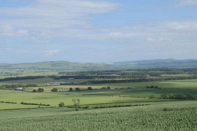
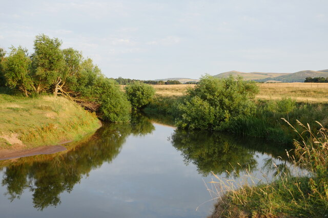
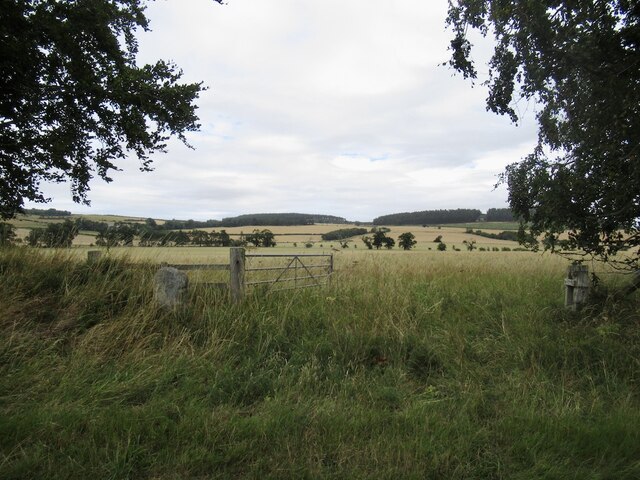
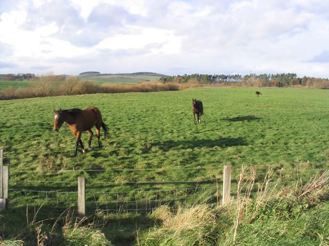
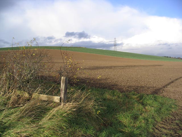
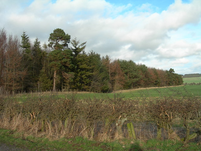
Old Warren Wood is a captivating forest located in the county of Northumberland, England. This woodland area covers an expansive area of approximately 50 acres and is renowned for its rich biodiversity and enchanting scenery. The wood is nestled within the rolling hills and picturesque landscapes of Northumberland, adding to its charm and allure.
As visitors enter Old Warren Wood, they are greeted by a breathtaking display of towering ancient trees, predominantly consisting of oak, ash, and beech. These majestic trees create a dense canopy, casting dappled sunlight onto the forest floor and creating a magical atmosphere. The woodland is home to an array of diverse flora and fauna, including rare species such as the red squirrel and various woodland birds.
The forest boasts a network of well-maintained footpaths and trails, allowing visitors to explore its beauty at their leisure. Walking through the wood, one can witness an abundance of wildflowers, such as bluebells and primroses, adding bursts of color to the lush green surroundings. The tranquil atmosphere makes it an ideal location for nature walks, birdwatching, and photography.
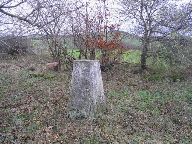
Old Warren Wood also holds historical significance, with remnants of ancient settlements and archaeological sites scattered throughout its expanse. These remnants provide a glimpse into the area's rich past and offer a unique opportunity for history enthusiasts to explore and learn.
Whether it's immersing oneself in the natural wonders, discovering the historical remnants, or simply finding solace in the peaceful ambiance, Old Warren Wood offers a captivating experience for all who venture into its embrace.
If you have any feedback on the listing, please let us know in the comments section below.
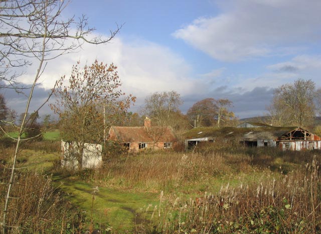
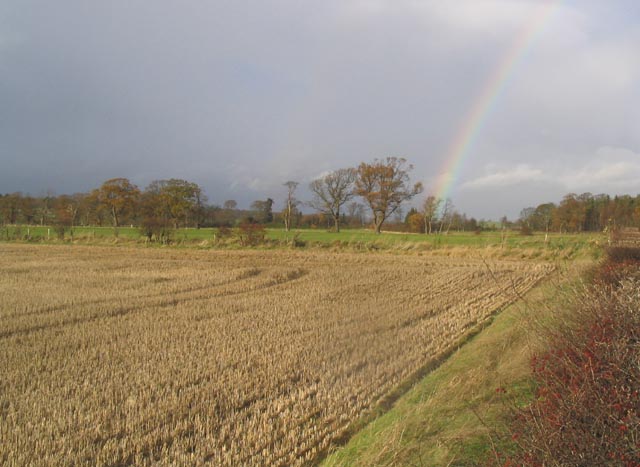
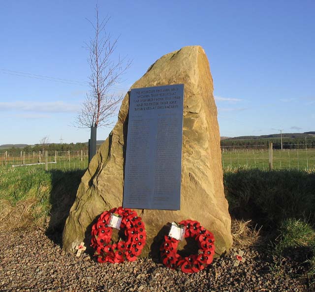
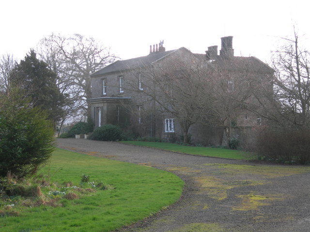
Old Warren Wood Images
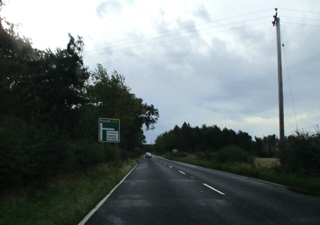
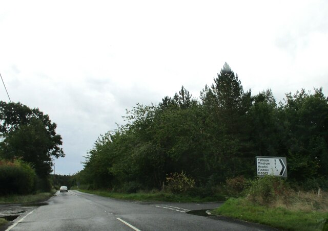
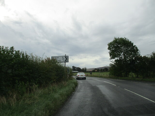
Images are sourced within 2km of 55.607607/-2.0950049 or Grid Reference NT9434. Thanks to Geograph Open Source API. All images are credited.

Old Warren Wood is located at Grid Ref: NT9434 (Lat: 55.607607, Lng: -2.0950049)
Unitary Authority: Northumberland
Police Authority: Northumbria
What 3 Words
///outlined.diplomats.stream. Near Ford, Northumberland
Related Wikis

Maelmin Henge
Maelmin Henge is modern interpretation/reconstruction of a henge monument near the village of Milfield, Northumberland in the Till Valley.It was built...

Glendale, Northumberland
Glendale is the name of a valley in North Northumberland that runs from the Cheviot Hills at Kirknewton onto the Milfield Plain, formed by the River Glen...

Milfield
Milfield is a village in Northumberland, England about 3 miles (5 km) northwest of Wooler. The A697 road passes through the village. == History == Milfield...
RAF Milfield
Royal Air Force Milfield or more simply RAF Milfield is a former Royal Air Force station which operated during the Second World War, located near Milfield...

Ford Castle
Ford Castle is a Grade I listed building situated at a shallow crossing point on the River Till, Ford, Northumberland, England. The castle dates from about...

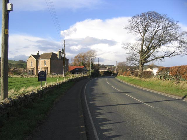
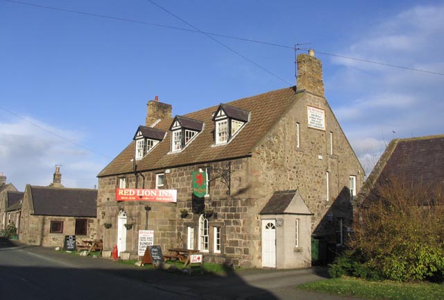
Ford, Northumberland
Ford is a small village and civil parish in Northumberland, England, about 13 miles (21 km) from Berwick-upon-Tweed. The parish also includes Etal. �...

Lady Waterford Hall
Lady Waterford Hall is the former village school of the estate village of Ford, Northumberland. It is now used as the village hall and is a Grade II* listed...

Heatherslaw Mill
Heatherslaw Mill is a water mill situated on the Ford and Etal Estate, 7 miles north of the town of Wooler in the English county of Northumberland. It...
Nearby Amenities
Located within 500m of 55.607607,-2.0950049Have you been to Old Warren Wood?
Leave your review of Old Warren Wood below (or comments, questions and feedback).