Holme Wood

Wood, Forest in Cheshire

England

Holme Wood

Scarecrow in garden area, Cockshead Hey Farm Harrop Valley visible in background
Scarecrow in garden area, Cockshead Hey Farm Credit: Philip Cornwall

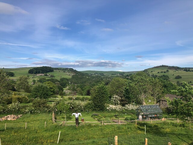
Holme Wood is a picturesque woodland located in Cheshire, England. Covering an area of approximately 100 acres, it is a part of the larger Delamere Forest. The wood is predominantly composed of oak and birch trees, with a lush undergrowth of ferns, bluebells, and wildflowers.

This ancient woodland holds significant historical and ecological value. It is believed to have existed for hundreds of years and has witnessed various changes throughout its existence. The area was once part of the hunting grounds for the Norman Earls of Chester and was later used for timber production during the Industrial Revolution. Today, it serves as a peaceful retreat for nature enthusiasts, walkers, and families seeking tranquility amidst nature.

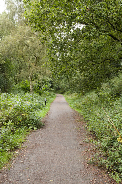
Holme Wood offers a network of well-maintained footpaths and trails that wind through its enchanting scenery. Visitors can explore the woodland, discovering its diverse flora and fauna. The wood is home to a variety of wildlife, including deer, squirrels, badgers, and a wide array of bird species. Birdwatchers can spot woodpeckers, owls, and various songbirds throughout the year.

The wood also features a small pond, providing a habitat for amphibians and insects. This natural water source attracts dragonflies and other aquatic creatures, adding to the ecological importance of the area.

Holme Wood is a cherished site, managed by the Forestry Commission, with efforts made to preserve its natural beauty and protect its wildlife. It offers a serene escape for individuals seeking solace in nature, where they can immerse themselves in the peaceful ambiance and marvel at the wonders of the woodland ecosystem.

If you have any feedback on the listing, please let us know in the comments section below.

Holme Wood Images

Images are sourced within 2km of 53.311512/-2.0906126 or Grid Reference SJ9479. Thanks to Geograph Open Source API. All images are credited.

Scarecrow in garden area, Cockshead Hey Farm Harrop Valley visible in background
Scarecrow in garden area, Cockshead Hey Farm
Harrop Valley visible in background
View across Macclesfield Canal at Bollington Aqueduct One of the last narrow canals to be built the canal was approved by Act of Parliament in April 1826. Thomas Telford surveyed the canal and construction was engineered by William Crosley. The completed canal was opened on 9th November 1831 at a cost of £320,000.00. The canal was bought out by the Manchester, Sheffield & Lincoln Railway in 1847. With nationalisation in 1947 it passed to the Docks & Inland Waterways Board with commercial carrying finishing only in the 1960's shortly before British Waterways was formed. The canal runs from Marple Junction with the Peak Forest Canal in the north 26¼ miles to the stop lock at Hall Green near Kidsgrove. The canal is noted for its six fine change or snake bridges where the tow-path changes sides of the canal. These bridges were designed to allow the horse to move over without having to untie it from the boat. Thanks to Telford's design for commercial traffic the Macclesfield Canal has a very shallow and tapered bottom. The deep channel is just wide enough for two boats to pass in the centre making mooring other than at wharves 'challenging'.
View across Macclesfield Canal at Bollington Aqueduct
One of the last narrow canals to be built the canal was approved by Act of Parliament in April 1826. Thomas Telford surveyed the canal and construction was engineered by William Crosley. The completed canal was opened on 9th November 1831 at a cost of £320,000.00. The canal was bought out by the Manchester, Sheffield & Lincoln Railway in 1847. With nationalisation in 1947 it passed to the Docks & Inland Waterways Board with commercial carrying finishing only in the 1960's shortly before British Waterways was formed. The canal runs from Marple Junction with the Peak Forest Canal in the north 26¼ miles to the stop lock at Hall Green near Kidsgrove. The canal is noted for its six fine change or snake bridges where the tow-path changes sides of the canal. These bridges were designed to allow the horse to move over without having to untie it from the boat. Thanks to Telford's design for commercial traffic the Macclesfield Canal has a very shallow and tapered bottom. The deep channel is just wide enough for two boats to pass in the centre making mooring other than at wharves 'challenging'.
View over Bollington, 1984 Looking east from the Macclesfield Canal at the Palmerston Street aqueduct.
View over Bollington, 1984
Looking east from the Macclesfield Canal at the Palmerston Street aqueduct.
Wellington Road, Bollington Viewed from the viaduct of the former railway.
Wellington Road, Bollington
Viewed from the viaduct of the former railway.
Middlewood Way
Middlewood Way
Bridge near Sugarlane Farm
Narrowboat passing Clarence Mill
Macclesfield Canal towards bridge #27
Macclesfield Canal at bridge #27
Canalside houses at bridge  #27, Macclesfield Canal
Canalside houses at bridge #27, Macclesfield Canal
Wellington Road, Bollington from Macclesfield Canal
Macclesfield Canal towards bridge #26A
Canal boat Swallowtail, Macclesfield Canal
Canal boat Rose Alice, Macclesfield Canal
Macclesfield Canal at bridge #26A With Clarence Mill in the background.
Macclesfield Canal at bridge #26A
With Clarence Mill in the background.
Macclesfield Canal at bridge #26A
Canal boat Annie May, Macclesfield Canal
Macclesfield Canal towards bridge #26
Show me another place!

Holme Wood is located at Grid Ref: SJ9479 (Lat: 53.311512, Lng: -2.0906126)

Unitary Authority: Cheshire East

Police Authority: Cheshire

What 3 Words

///blockage.topmost.skis. Near Pott Shrigley, Cheshire

Related Wikis

Leonard Haigh

Leonard Haigh (19 October 1880 – 6 August 1916) was an English rugby player. He won seven caps for England between 1910 and 1911, and also represented...

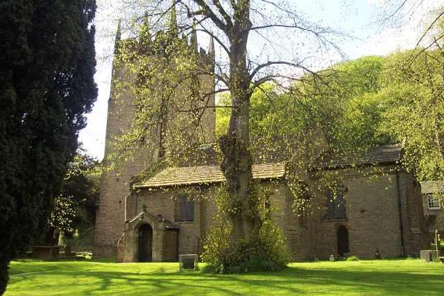
St Christopher's Church, Pott Shrigley

St Christopher's Church is in the small village of Pott Shrigley, Cheshire, England. The church is recorded in the National Heritage List for England...

Shrigley Hall

Shrigley Hall is a former country house standing to the northwest of the village of Pott Shrigley, Cheshire, England. It has since been used as a school...
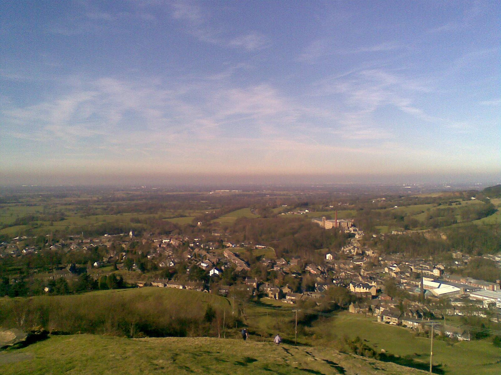
Pott Shrigley

Pott Shrigley is a small village and civil parish in the unitary authority of Cheshire East and the ceremonial county of Cheshire, England. According...

Limefield

Limefield is a house standing to the north of Bollington, Cheshire, England. It was built in about 1830 for Joseph Brook. It is constructed in ashlar...
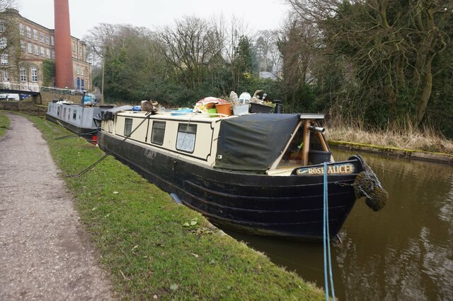
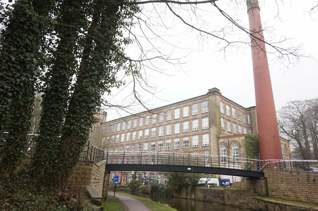
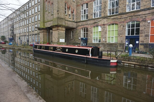
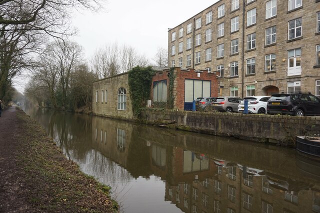
Clarence Mill

Clarence Mill is a five-storey former cotton spinning mill in Bollington, Cheshire, in England. It was built between 1834 and 1877 for the Swindells family...

Bollington Urban District

Bollington is a former Urban District in Cheshire, based in the town of Bollington. It was created in 1894 and abolished in 1974 when it was incorporated...

Bollington

Bollington is a town and civil parish in Cheshire, England, to the east of Prestbury. In the Middle Ages, it was part of the Earl of Chester's manor of...

Nearby Amenities

Located within 500m of 53.311512,-2.0906126
Bus Stop
Pott Shrigley, Shrigley Road / Shrigley Hall Hotel
Bus: yes
Naptan AtcoCode: 0600MA0447
Naptan Bearing: SE
Naptan CommonName: Shrigley Hall Hotel
Naptan Indicator: o/s
Naptan Landmark: Shrigley Hall Hotel
Naptan LocalityName: Pott Shrigley
Naptan NaptanCode: chepadw
Naptan ShortCommonName: Shrigley Hall Hotel
Naptan Street: Shrigley Road
Naptan Verified: no
Network: Cheshire East Council
Operator: Ansa Transport
Public Transport: platform
Source: naptan_import
Lat/Long: 53.3107473/-2.0895575
Bus Stop
Pott Shrigley, Shrigley Road / Shrigley Hall Hotel
Bus: yes
Naptan AtcoCode: 0600MA0447A
Naptan Bearing: NW
Naptan CommonName: Shrigley Hall Hotel
Naptan Indicator: opp
Naptan Landmark: Shrigley Hall Hotel
Naptan LocalityName: Pott Shrigley
Naptan NaptanCode: chepwtj
Naptan ShortCommonName: Shrigley Hall Hotel
Naptan Street: Shrigley Road
Naptan Verified: no
Network: Cheshire East Council
Operator: Ansa Transport
Public Transport: platform
Source: naptan_import
Lat/Long: 53.3105676/-2.0895421
Shrigley Hall Hotel
Addr City: Pott Shrigley, Macclesfield
Addr Housenumber: Shrigley Park
Addr Postcode: SK10 5SB
Fhrs Id: 891507
Tourism: hotel
Website: https://shrigleyhall-pottshrigley.h-rez.com/
Wheelchair: limited
Lat/Long: 53.3151788/-2.0871771
Post Box
Post Box Type: wall
Postal Code: SK10
Ref: SK10 12
Royal Cypher: EIIR
Royal Cypher Wikidata: Q33102113
Lat/Long: 53.3100631/-2.0845824
Telephone
Defibrillator
Access: yes
Booth: K6
Covered: booth
Defibrillator Location: in old red phone box between Pott Shrigley school and church
Emergency: defibrillator
Listed Status: Grade II
Man Made: telephone_box
Old Phone: +44 1625 573213
Lat/Long: 53.3097513/-2.0842838
Community Centre
Pott Shrigley Village Hall
Community Centre: village_hall
Lat/Long: 53.3099179/-2.0841322
Bus Stop
Pott Shrigley, Shrigley Road / Long Lane
Bus: yes
Naptan AtcoCode: 0600MA000039
Naptan Bearing: E
Naptan BusStopType: CUS
Naptan CommonName: Long Lane
Naptan Crossing: Long Lane
Naptan Indicator: opp
Naptan Landmark: Long Lane
Naptan LocalityName: Pott Shrigley
Naptan NaptanCode: cheagpaj
Naptan ShortCommonName: Long Lane
Naptan Street: Shrigley Road
Network: Cheshire East Council
Operator: Ansa Transport
Public Transport: platform
Source: naptan_import
Lat/Long: 53.3134072/-2.0946976
Bus Stop
Pott Shrigley, Shrigley Road / Long Lane
Bus: yes
Naptan AtcoCode: 0600MA000038
Naptan Bearing: W
Naptan CommonName: Long Lane
Naptan Crossing: Long Lane
Naptan Indicator: nr
Naptan Landmark: Long Lane
Naptan LocalityName: Pott Shrigley
Naptan NaptanCode: cheagpag
Naptan ShortCommonName: Long Lane
Naptan Street: Shrigley Road
Network: Cheshire East Council
Operator: Ansa Transport
Public Transport: platform
Source: naptan_import
Lat/Long: 53.3133416/-2.0947315
The data included in this document is from www.openstreetmap.org. The data is made available under ODbL.

Have you been to Holme Wood?

Leave your review of Holme Wood below (or comments, questions and feedback).