Peopleton Rough
Wood, Forest in Worcestershire Wychavon
England
Peopleton Rough
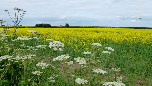
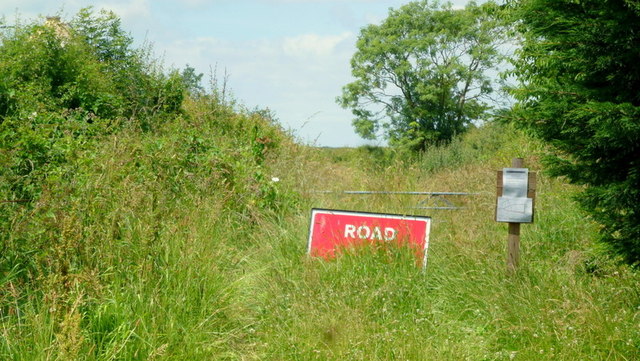
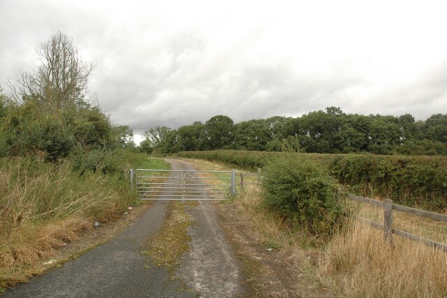
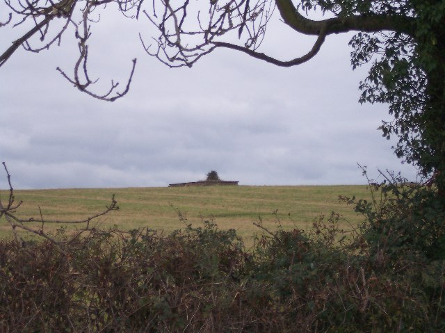
Peopleton Rough is a small woodland area located in Worcestershire, England. Situated in the county's rural landscape, it is nestled in the heart of the picturesque village of Peopleton. Covering an area of approximately 10 acres, this woodland offers a tranquil escape for nature enthusiasts and locals alike.
The wood boasts a diverse range of tree species, including oak, beech, and birch, creating a rich and vibrant canopy overhead. The forest floor is adorned with an array of wildflowers, ferns, and mosses, contributing to the area's natural beauty and providing a habitat for various wildlife.
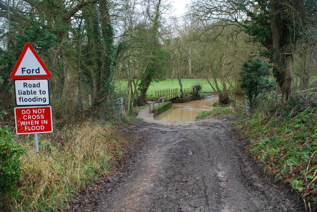
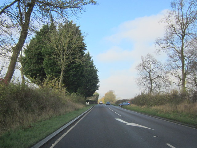
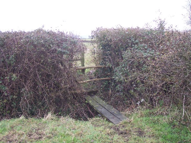
Visitors to Peopleton Rough can explore the woodland through a network of well-maintained footpaths that wind their way through the trees. These paths offer opportunities for leisurely walks, jogging, or dog-walking, making it a popular spot for outdoor activities. The quiet and peaceful atmosphere of Peopleton Rough provides an ideal setting for relaxation and contemplation.
The woodland is also a haven for birdwatchers, with a variety of bird species inhabiting the area. From the melodious songs of the blackbird to the distinctive calls of the great spotted woodpecker, visitors can enjoy the sights and sounds of these feathered creatures.
Peopleton Rough is a cherished community asset and is maintained by a group of dedicated volunteers who work tirelessly to preserve its natural beauty. Local events, such as guided nature walks and conservation workshops, are organized to raise awareness and encourage the community's involvement in the protection of the woodland.
In summary, Peopleton Rough in Worcestershire is a charming woodland oasis, offering a peaceful retreat for locals and visitors to enjoy the beauty of nature.
If you have any feedback on the listing, please let us know in the comments section below.
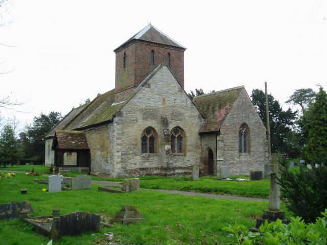
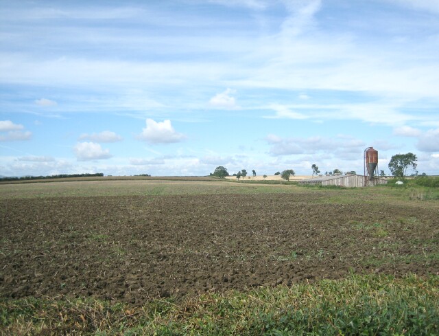
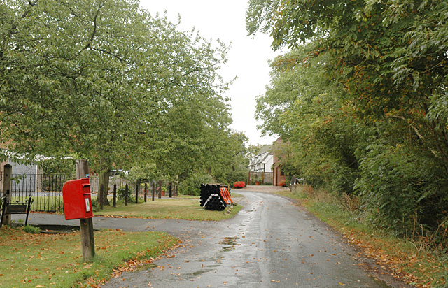
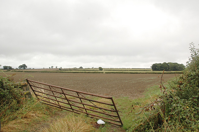
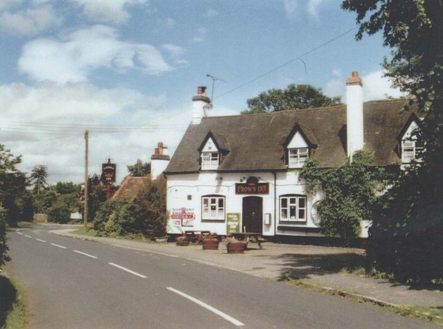
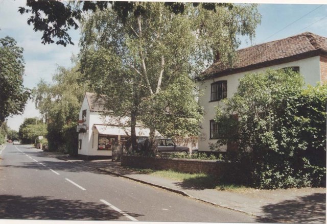
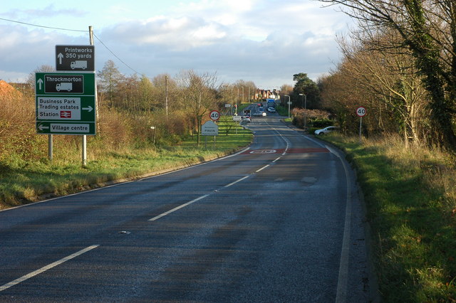
Peopleton Rough Images
Images are sourced within 2km of 52.145106/-2.0882487 or Grid Reference SO9449. Thanks to Geograph Open Source API. All images are credited.
Peopleton Rough is located at Grid Ref: SO9449 (Lat: 52.145106, Lng: -2.0882487)
Administrative County: Worcestershire
District: Wychavon
Police Authority: West Mercia
What 3 Words
///merely.lookout.rural. Near Pershore, Worcestershire
Nearby Locations
Related Wikis

Peopleton
Peopleton is a village and civil parish in the Wychavon district of Worcestershire, England. In 2001 the parish had a population of 640, with 245 households...

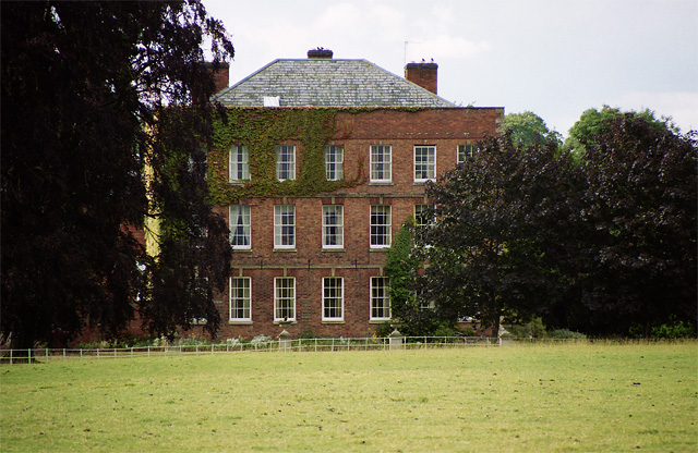
Bowbrook House School
Bowbrook House School is a mixed independent school for around 200 pupils aged 3 to 16 with around 30 teaching staff. It is located in a Georgian mansion...
Pinvin
Pinvin is a village in Worcestershire, England, a little to the north of Pershore, about 7+1⁄2 miles (12.1 km) south-east of Worcester, and about 6 miles...
Drakes Broughton
Drakes Broughton is a village in Worcestershire, England. The village is located on the B4084 road (previously the A44) 2 miles north-west of Pershore...

Pershore railway station
Pershore railway station is a railway station serving both the town of Pershore and village of Pinvin in Worcestershire, England. The station is on a single...

Stoulton railway station
Stoulton railway station was a station to the northwest of Drakes Broughton, Worcestershire, England. The station was opened in 1899 and closed in 1966...
Pershore High School
Pershore High School is a co-educational academy school, with a Sixth form, in Pershore, Worcestershire, England. It is the only high school in Pershore...

Mid Worcestershire (UK Parliament constituency)
Mid Worcestershire is a constituency represented in the House of Commons of the UK Parliament since 2015 by Nigel Huddleston, a Conservative.Under the...
Nearby Amenities
Located within 500m of 52.145106,-2.0882487Have you been to Peopleton Rough?
Leave your review of Peopleton Rough below (or comments, questions and feedback).