Lower Belt

Wood, Forest in Staffordshire South Staffordshire

England

Lower Belt

Former colliery railway - Hilton Main South of the Bognop Road level crossing.
Former colliery railway - Hilton Main Credit: John M

Lower Belt, Staffordshire (Wood, Forest) is a small village located in the county of Staffordshire, England. Situated in the heart of the beautiful Staffordshire Moorlands, Lower Belt is known for its picturesque landscapes and tranquil ambiance. The village is surrounded by dense woodlands and lush forests, making it an ideal destination for nature enthusiasts and outdoor lovers.

With a population of around 500 residents, Lower Belt offers a close-knit community atmosphere. The village is characterized by its charming cottages and traditional architecture, reflecting its rich history and heritage. The locals take immense pride in their village and actively participate in community events and initiatives.

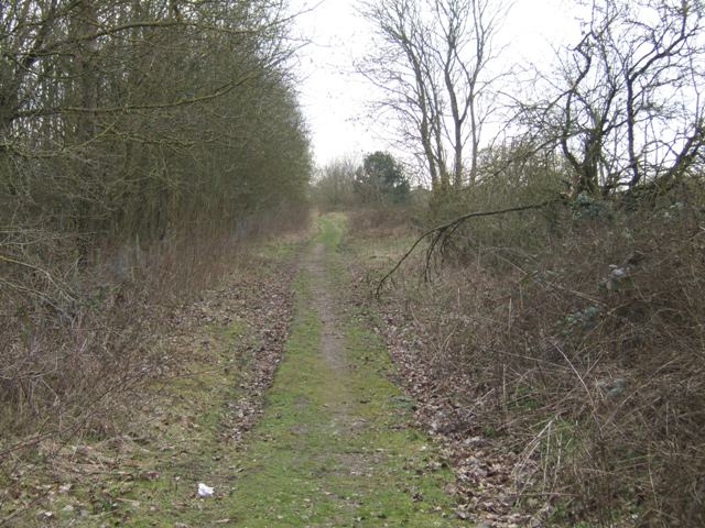
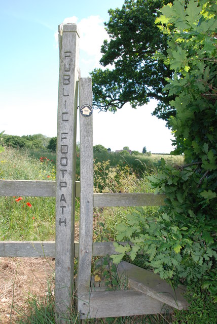
The woodlands surrounding Lower Belt are home to a diverse range of flora and fauna, providing ample opportunities for wildlife spotting and nature walks. The area is also a popular destination for hikers and cyclists, with numerous trails and pathways crisscrossing the forested areas.

Lower Belt is conveniently located near several notable attractions. The nearby Peak District National Park offers stunning vistas, rugged landscapes, and various outdoor activities, including rock climbing and hiking. Additionally, the historic market town of Leek is a short drive away, where visitors can explore its charming streets, independent shops, and ancient architecture.

Overall, Lower Belt, Staffordshire (Wood, Forest) is a serene village blessed with natural beauty and a strong sense of community. Its idyllic location and proximity to other attractions make it an excellent destination for those seeking a peaceful retreat or an adventure in the great outdoors.

If you have any feedback on the listing, please let us know in the comments section below.
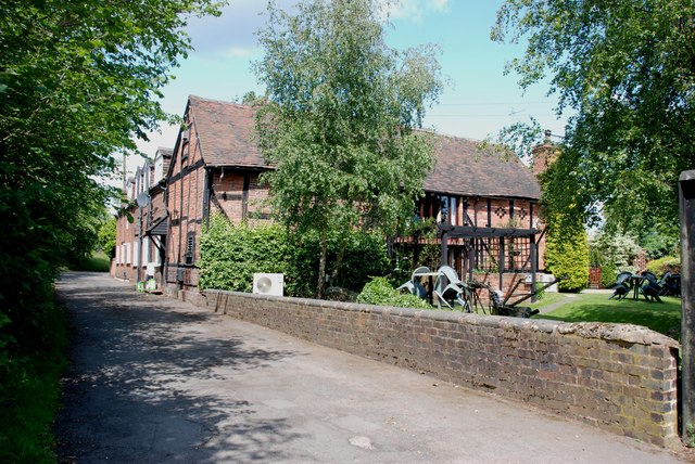
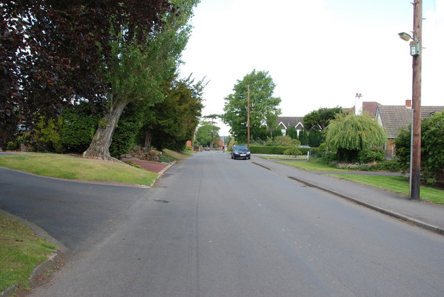
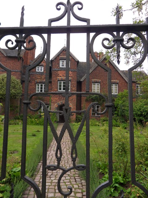
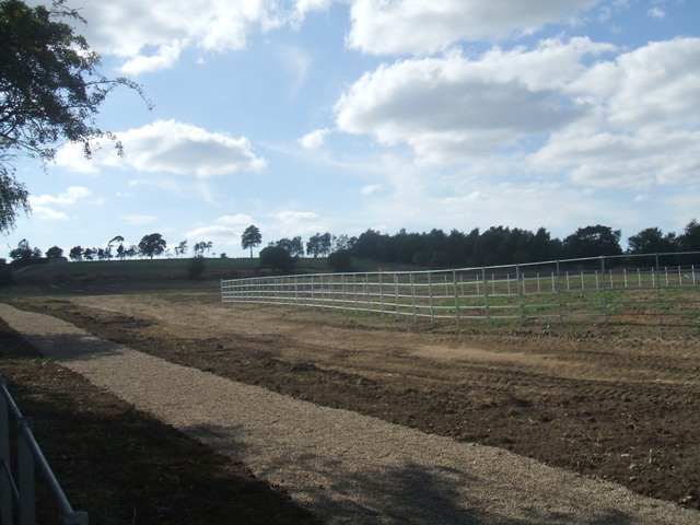
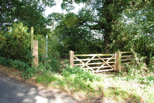
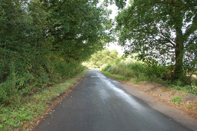
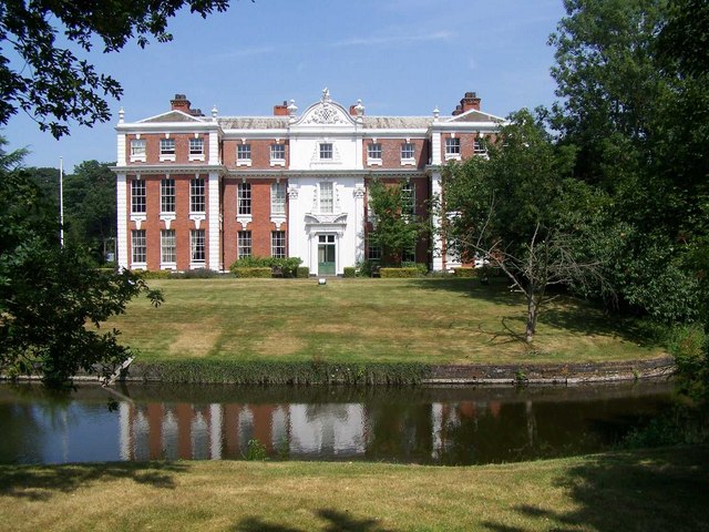
Lower Belt Images

Images are sourced within 2km of 52.637663/-2.0903034 or Grid Reference SJ9304. Thanks to Geograph Open Source API. All images are credited.

Former colliery railway - Hilton Main South of the Bognop Road level crossing.
Former colliery railway - Hilton Main
South of the Bognop Road level crossing.
Former colliery railway - Hilton Main Looking across the level crossing on Bognop Road into the colliery site at Hilton Main.
Former colliery railway - Hilton Main
Looking across the level crossing on Bognop Road into the colliery site at Hilton Main.
HMP Oakwood (previously known as Featherstone 2) Work is progressing steadily on the new 1605 bed Category B prison near Wolverhampton. Completion is expected in April 2012. The three cell blocks will each house 480 inmates. The new prison will share the former Royal Ordnance Factory site with the existing HMP Featherstone Prison and Brinsford Young Offenders Institution.

The prison operated by G4S had the distinction of receiving the worst ever report by the HM Inspector of Prisons in October 2013.
HMP Oakwood (previously known as Featherstone 2)
Work is progressing steadily on the new 1605 bed Category B prison near Wolverhampton. Completion is expected in April 2012. The three cell blocks will each house 480 inmates. The new prison will share the former Royal Ordnance Factory site with the existing HMP Featherstone Prison and Brinsford Young Offenders Institution. The prison operated by G4S had the distinction of receiving the worst ever report by the HM Inspector of Prisons in October 2013.
Footpath from Featherstone Lane
Entrance to Featherstone Lane
Featherstone Farm Hotel, Featherstone
Cat and Kittens Lane, Featherstone This road runs between the former ordnance site near Featherstone and the M54, hence the road sign.
Cat and Kittens Lane, Featherstone
This road runs between the former ordnance site near Featherstone and the M54, hence the road sign.
Baneberry Drive, Featherstone
Church Road, Shareshill
Moseley Gate The front gated entrance to Moseley Old Hall.
Moseley Gate
The front gated entrance to Moseley Old Hall.
Moseley Wall Moseley Old Hall front elevation viewed from Moseley Old Hall Lane.
Moseley Wall
Moseley Old Hall front elevation viewed from Moseley Old Hall Lane.
Moseley Old Hall The Knot garden to the side elevation of Moseley Old Hall.
Moseley Old Hall
The Knot garden to the side elevation of Moseley Old Hall.
Behind Moseley Rear elevation of Moseley Old Hall.
Behind Moseley
Rear elevation of Moseley Old Hall.
Moseley Knot Knot garden to the side of Moseley Old Hall.
Moseley Knot
Knot garden to the side of Moseley Old Hall.
Moseley Old Hall Front elevation.
Moseley Old Hall
Front elevation.
Extension to the crematorium The slopes of Bushbury Hill will be given up for an extension to the crematorium. The footpath to the hill will be diverted.
Extension to the crematorium
The slopes of Bushbury Hill will be given up for an extension to the crematorium. The footpath to the hill will be diverted.
Public Bridleway to Featherstone This bridleway leaves Moseley road, goes under the M54, and on towards Featherstone.
Public Bridleway to Featherstone
This bridleway leaves Moseley road, goes under the M54, and on towards Featherstone.
Moseley Road from A460 to Moseley Hall This road is fairly narrow, with some bad bends, but is the access road from A460 to the National Trust property, Moseley Old Hall.
Moseley Road from A460 to Moseley Hall
This road is fairly narrow, with some bad bends, but is the access road from A460 to the National Trust property, Moseley Old Hall.
Show me another place!

Lower Belt is located at Grid Ref: SJ9304 (Lat: 52.637663, Lng: -2.0903034)

Administrative County: Staffordshire

District: South Staffordshire

Police Authority: Staffordshire

What 3 Words

///money.port.locate. Near Featherstone, Staffordshire

Related Wikis

Featherstone, Staffordshire

Featherstone is a town in the district of South Staffordshire, England, near to the border with Wolverhampton. == History == Originally a farming community...

Moseley Old Hall

Moseley Old Hall is located in Fordhouses, north of Wolverhampton in the United Kingdom. It is notable as one of the hiding places of Charles II during...

Brinsford Lodge

Brinsford Lodge was a hall of residence for The Polytechnic, Wolverhampton (now the University of Wolverhampton) from the mid-1960s to the early 1980s...

Essington Hall Farmhouse

Essington Hall Farmhouse is a grade II listed building in Essington, Staffordshire. == See also == Listed buildings in Essington == References ==

Hilton Hall

Hilton Hall is an 18th-century mansion house now in use as an Office and Business Centre at Hilton, near Wolverhampton, in Staffordshire. It is a Grade...
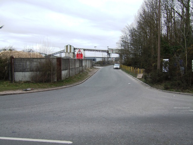
HM Prison Brinsford

HMP & YOI Prison Brinsford is an adult male Category B & C prison and Young Offenders Institution (YOI), located in the village of Featherstone (near Wolverhampton...
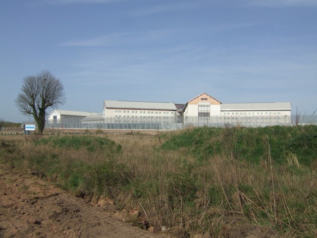
HM Prison Oakwood

HM Prison Oakwood is a Category C prison in Featherstone, Staffordshire, England. First opened in April 2012, the prison is operated by G4S and was primed...

HM Prison Featherstone

HM Prison Featherstone is a Category C men's prison, located in the village of Featherstone (near Wolverhampton), in Staffordshire, England. The prison...

Nearby Amenities

Located within 500m of 52.637663,-2.0903034
Motorway Junction
Featherstone Interchange
Exit To: Cannock A460
Ref: 1
Lat/Long: 52.6394268/-2.0946672
Note: 40 mph speed limit sign
Lat/Long: 52.6402812/-2.0890019
Power: tower
Source: bing
Lat/Long: 52.6357793/-2.0969702
Roundabout
Naptan AtcoCode: 3800C618101
Naptan Bearing: S
Naptan CommonName: Roundabout
Naptan Indicator: Adj
Naptan Landmark: Roundabout
Naptan Street: Cannock Road
Naptan Verified: no
Source: naptan_import
Lat/Long: 52.641457/-2.0868986
Bus Stop
The Avenue
Bus: yes
Naptan AtcoCode: 3800C618102
Naptan Bearing: N
Naptan CommonName: The Avenue
Naptan Indicator: adj
Naptan Street: Cannock Road
Naptan Verified: no
Public Transport: platform
Source: naptan_import
Lat/Long: 52.6416457/-2.0870911
Bus Stop
Hilton Cross
Bus: yes
Naptan AtcoCode: 3800C690601
Naptan Bearing: SW
Naptan CommonName: Hilton Services
Naptan Indicator: Adj
Naptan Landmark: Hilton Services
Naptan Street: Cannock Road
Naptan Verified: no
Public Transport: platform
Source: naptan_import
Lat/Long: 52.6372023/-2.0896868
Bus Stop
Hilton Cross
Bus: yes
Naptan AtcoCode: 3800C690602
Naptan Bearing: NE
Naptan CommonName: Hilton Services
Naptan Indicator: Opp
Naptan Landmark: Hilton Services
Naptan Street: Cannock Road
Naptan Verified: no
Public Transport: platform
Source: naptan_import
Lat/Long: 52.6362546/-2.090796
Power: tower
Source: OS 1:25k
Lat/Long: 52.6360795/-2.095879
The data included in this document is from www.openstreetmap.org. The data is made available under ODbL.

Have you been to Lower Belt?

Leave your review of Lower Belt below (or comments, questions and feedback).