Old Coppice
Wood, Forest in Wiltshire
England
Old Coppice
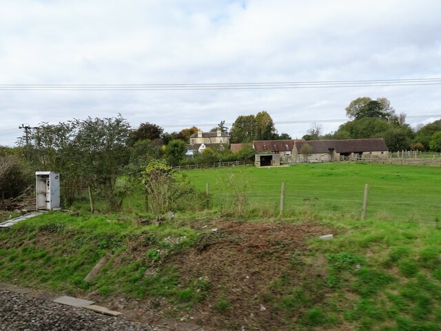
Old Coppice is a beautiful woodland located in the county of Wiltshire, England. Covering an area of approximately 50 acres, it is a serene and tranquil forest filled with a rich diversity of trees, plants, and wildlife. The woodland is situated near the picturesque village of Malmesbury and is a popular destination for nature enthusiasts and hikers.
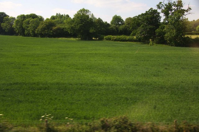
The forest is predominantly made up of native broadleaf trees such as oak, beech, and ash, creating a dense canopy that provides shade and shelter for a variety of woodland creatures. The forest floor is carpeted with a lush undergrowth of ferns, bluebells, and wild garlic, adding to the enchanting atmosphere of the woods.
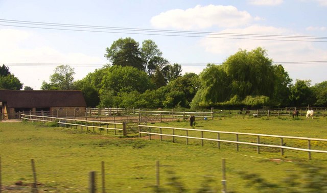
Old Coppice is home to a wide range of wildlife, including mammals such as deer, badgers, and foxes, as well as numerous bird species, including woodpeckers, owls, and songbirds. The forest also provides a habitat for various insects, amphibians, and reptiles, making it a haven for biodiversity.
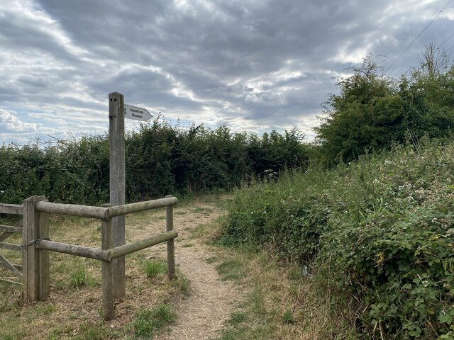
Visitors to Old Coppice can enjoy a network of well-maintained walking trails that meander through the woodland, offering breathtaking views and opportunities for wildlife spotting. The forest is a popular spot for birdwatching, photography, and picnicking. It is also an important educational resource, with schools often bringing students here to learn about the natural environment and conservation.
Old Coppice is managed by local authorities to ensure its preservation and protection. This ensures that future generations can continue to enjoy the beauty and tranquility of this ancient woodland.
If you have any feedback on the listing, please let us know in the comments section below.
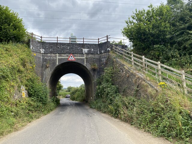
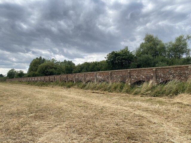
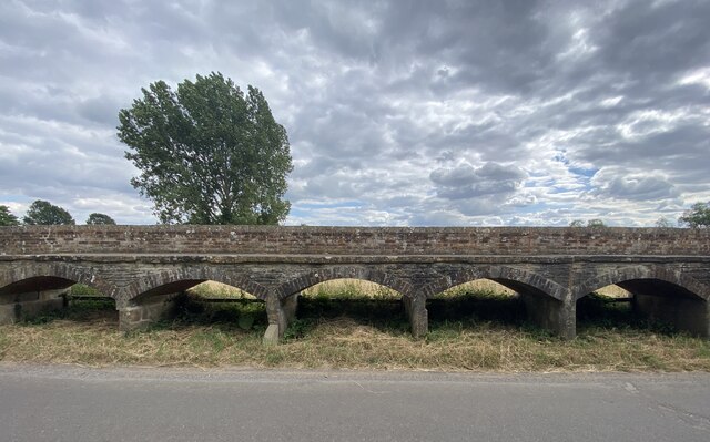
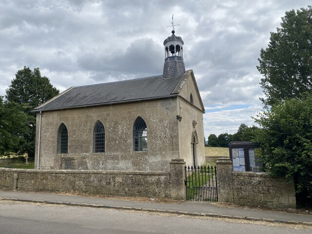
Old Coppice Images
Images are sourced within 2km of 51.486929/-2.0912603 or Grid Reference ST9376. Thanks to Geograph Open Source API. All images are credited.


Old Coppice is located at Grid Ref: ST9376 (Lat: 51.486929, Lng: -2.0912603)
Unitary Authority: Wiltshire
Police Authority: Wiltshire
What 3 Words
///reserved.duties.expanded. Near Sutton Benger, Wiltshire
Nearby Locations
Related Wikis

Maud Heath's Causeway
Maud Heath's Causeway is a pathway dating from the 15th century in rural Wiltshire, England. On both sides of its crossing of the River Avon, just west...

Kington Langley
Kington Langley is a village and civil parish about 2 miles (3.2 km) north of Chippenham in Wiltshire, England. The parish includes the hamlet of Bowldown...

Langley Burrell
Langley Burrell is a village in the civil parish of Langley Burrell Without, just north of Chippenham, Wiltshire, England. It is the largest settlement...

Kellaways
Kellaways, also known as Tytherton Kellaways, is a village and former ecclesiastical parish in the present-day civil parish of Langley Burrell Without...

Sutton Lane Meadows
Sutton Lane Meadows (grid reference ST946777) is a 3.44 hectare biological Site of Special Scientific Interest in Wiltshire, notified in 1988. == Sources... ==

Kellaways – West Tytherton, River Avon SSSI, Wiltshire
Kellaways - West Tytherton, River Avon SSSI (grid reference ST945750) is a 4.1 hectare geological Site of Special Scientific Interest in Wiltshire, notified...

St James's Church, Draycot Cerne
St James's Church in Draycot Cerne, Sutton Benger, Wiltshire, England was built between 1260 and 1280. It is recorded in the National Heritage List for...
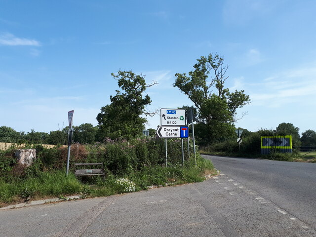
Draycot Cerne
Draycot Cerne (Draycott) is a small village and former civil parish, now in the parish of Sutton Benger, in Wiltshire, England, about 3 miles (5 km) north...
Nearby Amenities
Located within 500m of 51.486929,-2.0912603Have you been to Old Coppice?
Leave your review of Old Coppice below (or comments, questions and feedback).