Wadhill Coppice
Wood, Forest in Dorset
England
Wadhill Coppice
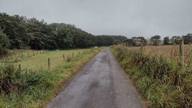
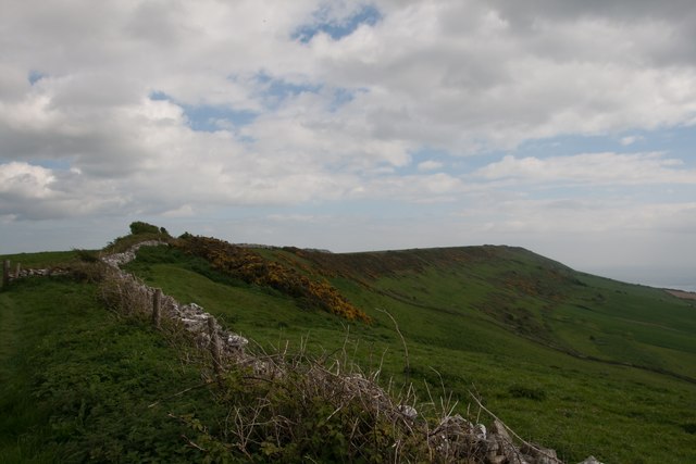
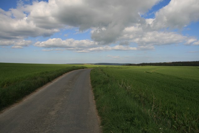
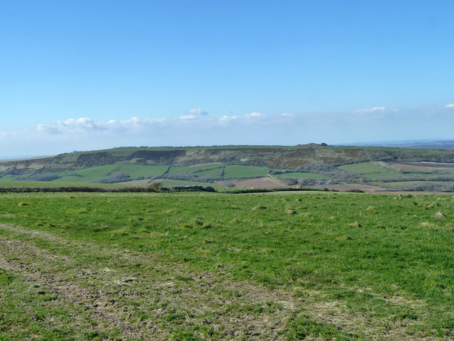
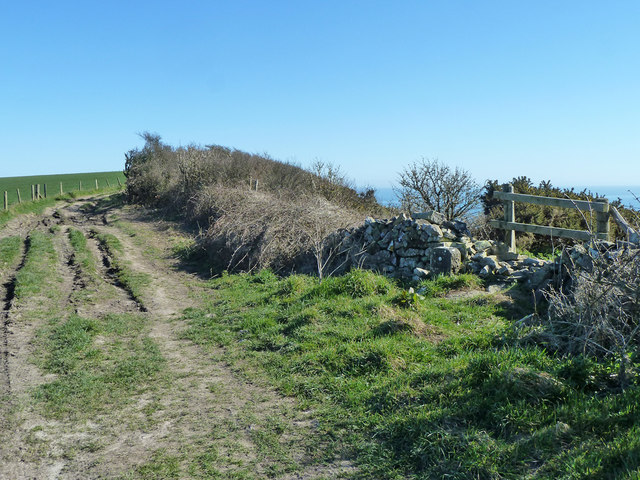
Wadhill Coppice is a beautiful woodland located in the county of Dorset, England. Situated near the village of Wadhill, it covers an area of approximately 100 acres, making it an extensive and diverse forested area.
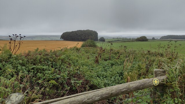
The coppice is predominantly made up of native deciduous trees, such as oak, beech, and ash, creating a rich and vibrant ecosystem. The forest floor is adorned with a variety of wildflowers, including bluebells, primroses, and wood anemones, adding bursts of color to the landscape during the springtime.
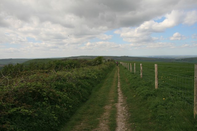
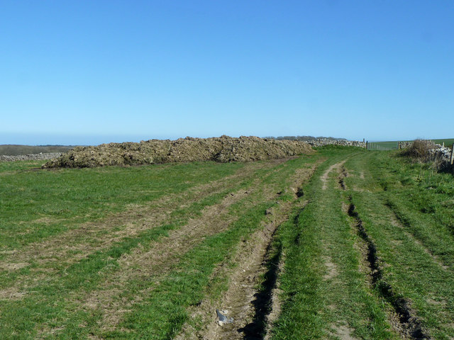
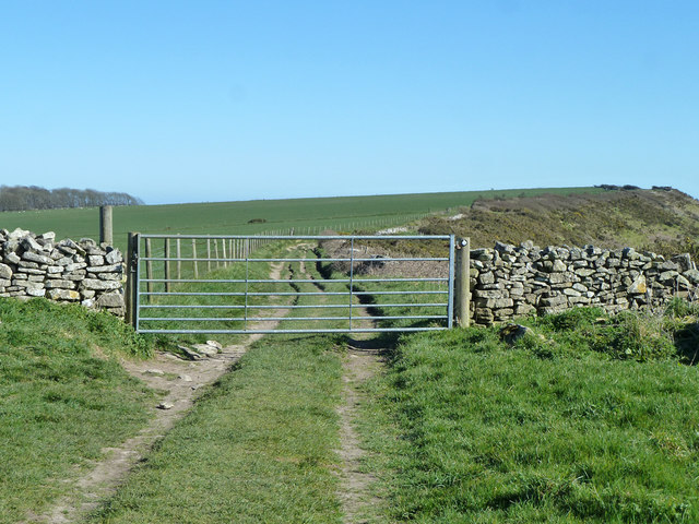
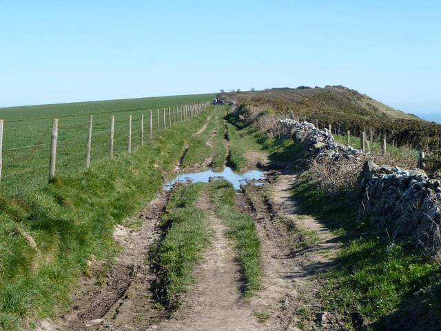
The woodland is crisscrossed by a network of well-maintained walking trails, allowing visitors to explore and immerse themselves in its natural beauty. These paths lead through dense clusters of trees, opening up to clearings that offer breathtaking views of the surrounding countryside. The tranquility and peacefulness of the area make it a popular spot for nature lovers, hikers, and photographers seeking a serene escape from the hustle and bustle of everyday life.
Wadhill Coppice is also home to a diverse range of wildlife. Deer, badgers, foxes, and squirrels can often be spotted roaming the forest, while a variety of bird species, including woodpeckers, owls, and thrushes, inhabit the treetops. The forest provides a vital habitat for these creatures and is an important part of the local ecosystem.
Overall, Wadhill Coppice is a true natural gem in Dorset, offering visitors an opportunity to connect with nature, enjoy scenic walks, and experience the beauty of a thriving woodland ecosystem.
If you have any feedback on the listing, please let us know in the comments section below.
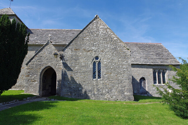
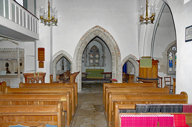
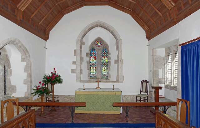
Wadhill Coppice Images
Images are sourced within 2km of 50.626102/-2.0896495 or Grid Reference SY9380. Thanks to Geograph Open Source API. All images are credited.

Wadhill Coppice is located at Grid Ref: SY9380 (Lat: 50.626102, Lng: -2.0896495)
Unitary Authority: Dorset
Police Authority: Dorset
What 3 Words
///cropping.cassettes.spaceship. Near Corfe Castle, Dorset
Nearby Locations
Related Wikis

Barnston Manor
Barnston Manor is a 13th-century manor house and farm near Church Knowle in Dorset, England. The house is a Grade I listed building, and some farm buildings...

Church Knowle
Church Knowle is a village and civil parish on the Isle of Purbeck in the county of Dorset in the south of England. Church Knowle village is situated about...

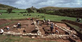
Smedmore Hill Settlement
The Smedmore Hill Settlement is an archaeological site about 2 miles (3.2 km) south-west of Corfe Castle, in Dorset, England. The site is a settlement...
Blashenwell Farm Pit
Blashenwell Farm Pit (grid reference SY952805) is an 11.4 hectare geological Site of Special Scientific Interest in Dorset, United Kingdom, notified in...
Bucknowle Farm
Bucknowle Farm is the site of a Romano-British settlement and a Roman villa, located one kilometre southeast of Church Knowle and one kilometre southwest...
Bucknowle Roman villa
Bucknowle Roman villa is a Roman villa in Dorset, England. It is located within a camping site within the grounds of Bucknowle Farm. == History == The...

Stonehill Down Nature Reserve
The Stonehill Down Nature Reserve is a downland nature reserve on the Purbeck Hills in the county of Dorset, England. It is managed by the Dorset Wildlife...

East Creech
East Creech is a hamlet in the parish of Church Knowle in the county of Dorset, England. East Creech lies at the northern foot of the Purbeck Hills about...
Nearby Amenities
Located within 500m of 50.626102,-2.0896495Have you been to Wadhill Coppice?
Leave your review of Wadhill Coppice below (or comments, questions and feedback).