Cross Green
Settlement in Staffordshire South Staffordshire
England
Cross Green

Cross Green is a small village located in the county of Staffordshire, England. Situated in the district of Lichfield, it is nestled in the picturesque countryside, surrounded by fields and farmland. The village is situated approximately 8 miles northeast of the city of Lichfield and 12 miles northwest of the city of Burton upon Trent.
The village itself is characterized by its quaint and charming atmosphere, with a population of around 500 residents. It consists mainly of residential properties, including a mix of traditional cottages and more modern houses. The village is known for its strong sense of community, with various social events and activities organized throughout the year.
Despite its small size, Cross Green offers a few amenities to its residents. These include a local pub, which serves as a gathering place for both locals and visitors, and a primary school that caters to the educational needs of the village's children. The village also benefits from its proximity to larger towns and cities, providing access to a wider range of services and facilities.
The surrounding countryside offers ample opportunities for outdoor activities, with numerous walking and cycling routes available. The village is also within close proximity to several historical landmarks, such as the National Memorial Arboretum and the medieval Lichfield Cathedral, making it an attractive destination for tourists.
Overall, Cross Green offers a peaceful and idyllic setting for those seeking a rural lifestyle, while still providing convenient access to nearby amenities and attractions.
If you have any feedback on the listing, please let us know in the comments section below.
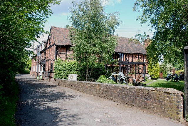
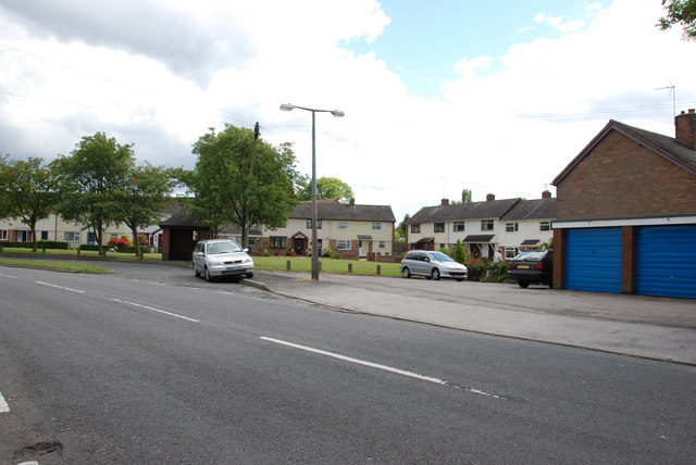
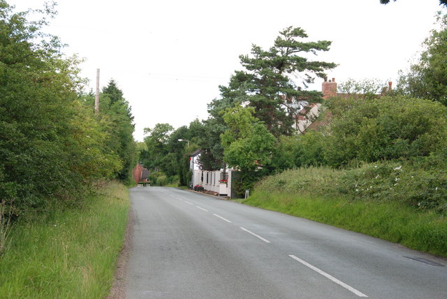
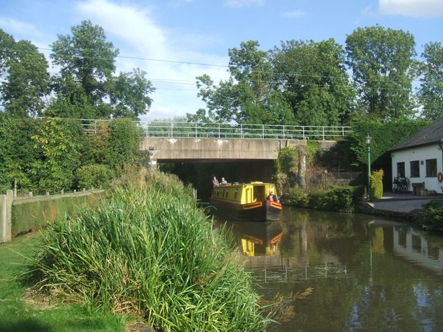
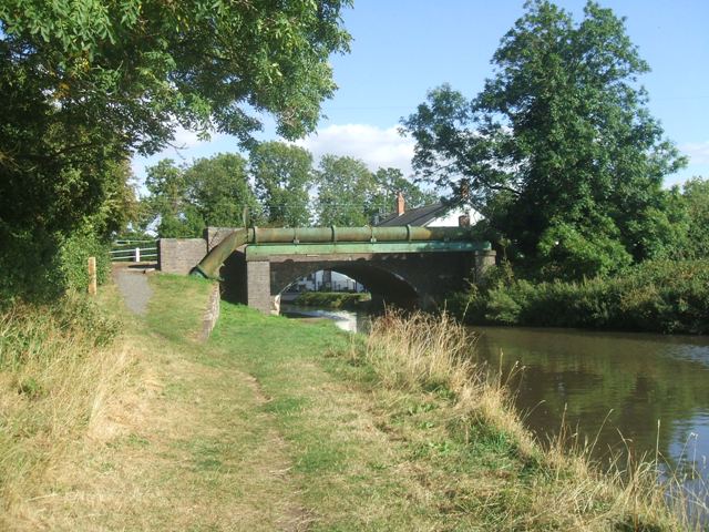
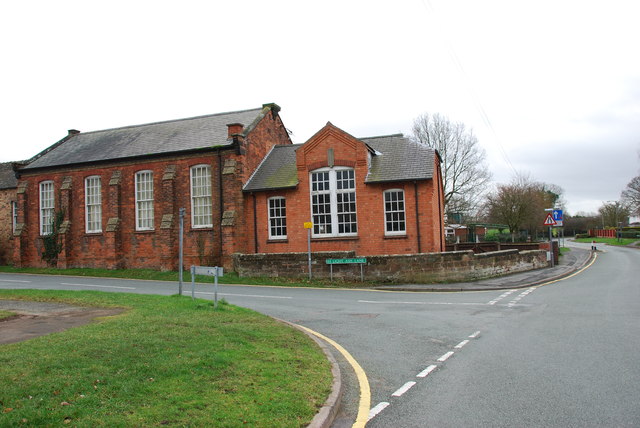
Cross Green Images
Images are sourced within 2km of 52.652539/-2.124139 or Grid Reference SJ9106. Thanks to Geograph Open Source API. All images are credited.


Cross Green is located at Grid Ref: SJ9106 (Lat: 52.652539, Lng: -2.124139)
Administrative County: Staffordshire
District: South Staffordshire
Police Authority: Staffordshire
What 3 Words
///dads.kite.chains. Near Coven, Staffordshire
Nearby Locations
Related Wikis

Brinsford Parkway railway station
Brinsford Parkway is a proposed mainline railway station to the north of Wolverhampton, England. It has yet to be passed and is still in planning stages...

St Paul's Church, Coven
St Paul's Church, Coven is a Grade II listed parish church in the Church of England in Coven, Staffordshire == History == The church was built in 1857...
Wolverhampton Casuals F.C.
Wolverhampton Casuals Football Club are a football club based in Featherstone, near Wolverhampton, England. Established in 1899, they are currently members...
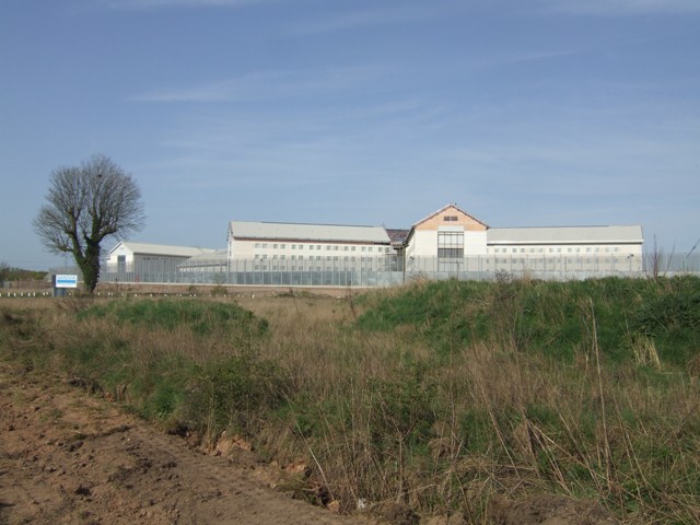
HM Prison Featherstone
HM Prison Featherstone is a Category C men's prison, located in the village of Featherstone (near Wolverhampton), in Staffordshire, England. The prison...
Nearby Amenities
Located within 500m of 52.652539,-2.124139Have you been to Cross Green?
Leave your review of Cross Green below (or comments, questions and feedback).