Pepper Wood
Wood, Forest in Worcestershire Bromsgrove
England
Pepper Wood
Pepper Wood is a picturesque forest located in the county of Worcestershire, England. Covering an area of approximately 100 acres, it is a popular destination for nature lovers and outdoor enthusiasts. The wood is situated near the village of Pepper, which is known for its charming countryside surroundings.
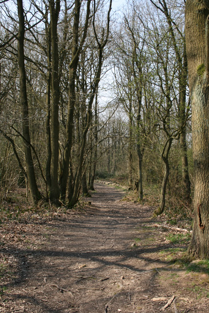
Pepper Wood is characterized by its diverse range of tree species, including oak, beech, and birch, creating a rich and vibrant ecosystem. The forest floor is adorned with a carpet of wildflowers during springtime, adding to its natural beauty. The wood is also home to various wildlife such as deer, badgers, and a wide variety of bird species, making it an ideal spot for wildlife enthusiasts and birdwatchers.
Visitors to Pepper Wood can enjoy a network of well-maintained walking trails that wind through the forest, offering breathtaking views and peaceful surroundings. These trails cater to different levels of fitness and can be enjoyed by both experienced hikers and families with children. There are also designated picnic areas where visitors can take a break and enjoy a packed lunch amidst the serenity of the forest.
Pepper Wood is managed by the Worcestershire Wildlife Trust, ensuring the preservation and conservation of the woodland habitat. The trust organizes educational programs and guided walks to raise awareness about the importance of the forest and its inhabitants.
In conclusion, Pepper Wood in Worcestershire is a stunning forest, offering a tranquil escape from the hustle and bustle of everyday life. Its natural beauty, diverse wildlife, and well-maintained trails make it a must-visit destination for nature enthusiasts and those seeking a peaceful retreat.
If you have any feedback on the listing, please let us know in the comments section below.
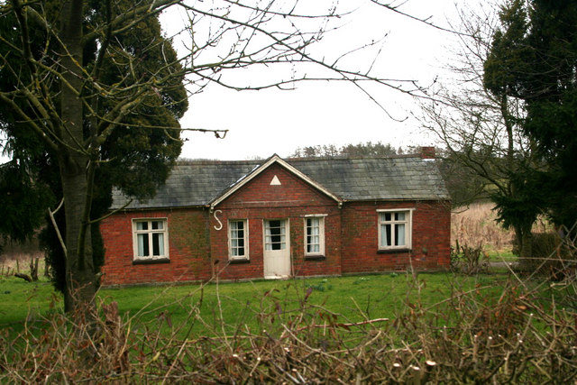
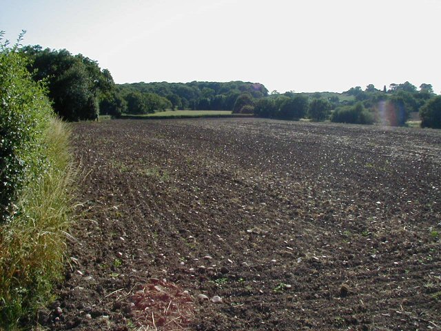
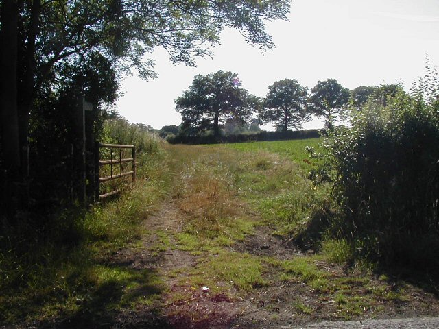
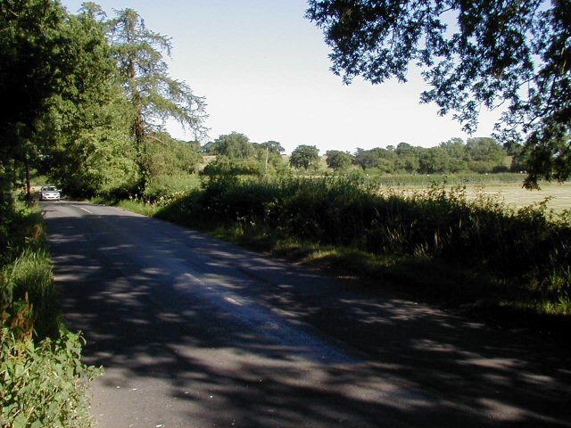
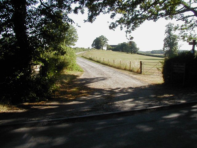
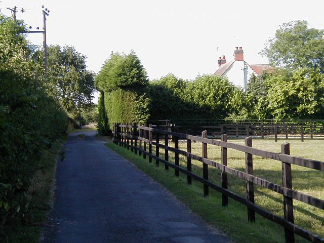
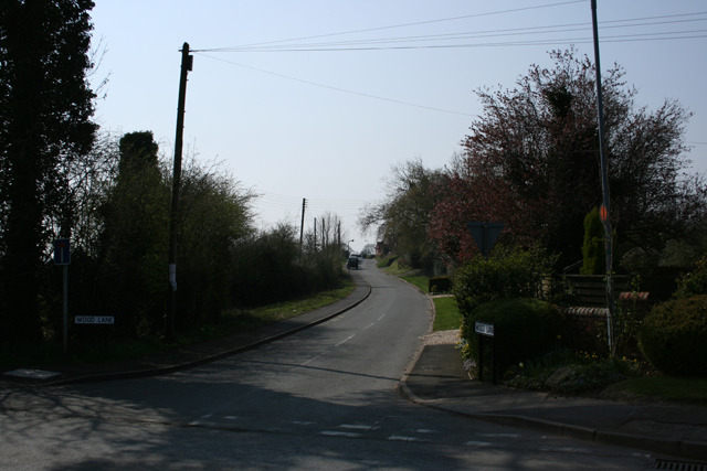
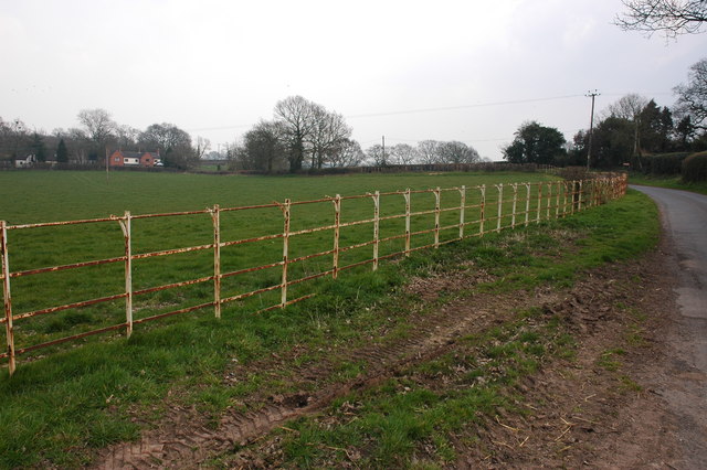
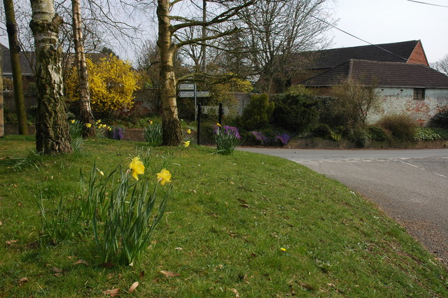
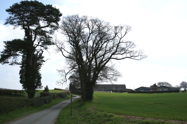
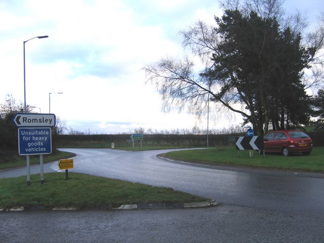
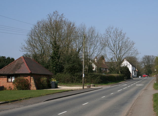
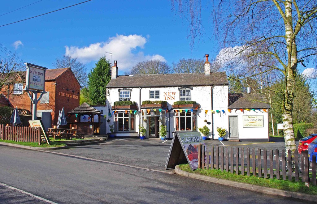
Pepper Wood Images
Images are sourced within 2km of 52.37209/-2.0932844 or Grid Reference SO9374. Thanks to Geograph Open Source API. All images are credited.


Pepper Wood is located at Grid Ref: SO9374 (Lat: 52.37209, Lng: -2.0932844)
Administrative County: Worcestershire
District: Bromsgrove
Police Authority: West Mercia
What 3 Words
///overlook.tone.solicitor. Near Belbroughton, Worcestershire
Nearby Locations
Related Wikis
Fairfield, Worcestershire
Fairfield is a village in the district of Bromsgrove, Worcestershire, England. It is in the civil parish of Belbroughton. The village of Fairfield and...
Bournheath
Bournheath is a village and civil parish in the Bromsgrove District of Worcestershire, England, about three miles north of Bromsgrove. According to the...

Rosedene
Rosedene is a cottage built as part of the Great Dodford Chartist settlement. It is the best preserved example of a Chartist cottage built by the National...

Castlebourne folly
The Castlebourne folly in the parish of Belbroughton, Worcestershire, England, was built as a sham castle towards the end of the eighteenth century and...
Dodford Priory
Dodford Priory in the parish of Bromsgrove in Worcestershire in the current village of Dodford, was a small Augustinian monastery. == History == It was...

Bell End
Bell End is a village in the English county of Worcestershire. It is situated approximately 2 miles (3 km) south-east of Hagley on the A491, north of Bromsgrove...

Dodford, Worcestershire
Dodford is a village in the Bromsgrove district of Worcestershire, England, approximately 3 miles (4.8 km) west of Bromsgrove, officially founded on 2...

Catshill
Catshill is a village in Worcestershire about 2.5 miles north of Bromsgrove and 10 miles south-west of Birmingham. The parish of Catshill was formed around...
Nearby Amenities
Located within 500m of 52.37209,-2.0932844Have you been to Pepper Wood?
Leave your review of Pepper Wood below (or comments, questions and feedback).