Birks Wood

Wood, Forest in Lancashire

England

Birks Wood

Rochdale Canal at Gauxholme View from Rochdale to Leeds railway
Rochdale Canal at Gauxholme Credit: Raymond Knapman

Birks Wood, located in Lancashire, England, is a picturesque forest covering an area of approximately 100 acres. Nestled in the heart of the countryside, this woodland area offers a tranquil and enchanting escape from the busy urban life. The wood is situated near the village of Birks, which adds to its charm and accessibility.

Birks Wood is predominantly composed of native broadleaf trees, including oak, beech, and birch. The dense canopy formed by these trees creates a shaded and cool environment, perfect for leisurely walks or exploring nature. The forest floor is covered with a rich carpet of ferns, bluebells, and other woodland flora, adding to the ethereal beauty of the woodland.

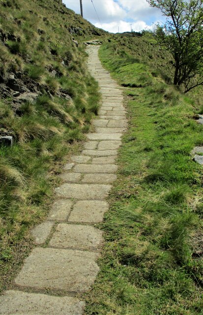
The wood is intersected by a network of walking trails, allowing visitors to immerse themselves in the natural beauty and serenity of the surroundings. These paths are well-maintained, making them accessible to people of all ages and physical abilities. The trails lead visitors through different sections of the wood, each offering its own unique sights and sounds.

Birks Wood is also known for its diverse wildlife. The forest provides a habitat for numerous species of birds, including woodpeckers, owls, and various songbirds. Mammals like deer, foxes, and rabbits can also be spotted within the wood. Nature enthusiasts may enjoy birdwatching or wildlife photography during their visit.

Overall, Birks Wood in Lancashire is a natural gem, offering a peaceful retreat for individuals seeking solace in nature. Whether it's a leisurely stroll, birdwatching, or simply enjoying the tranquility, this enchanting forest provides a haven for all who visit.

If you have any feedback on the listing, please let us know in the comments section below.
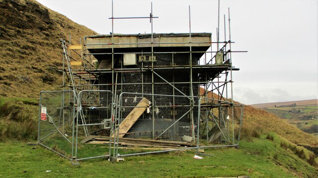
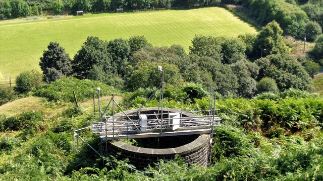
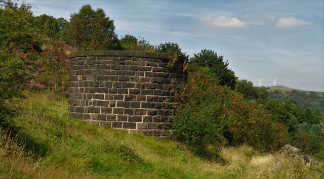
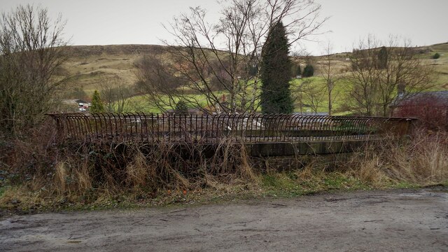
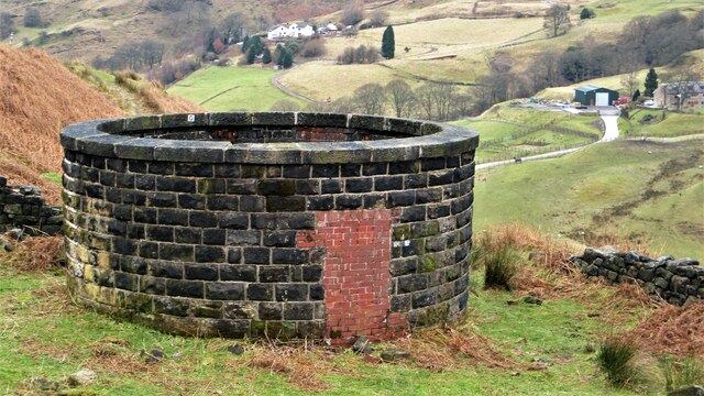
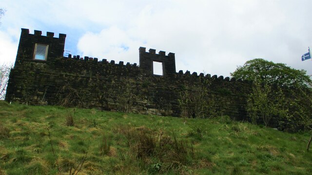
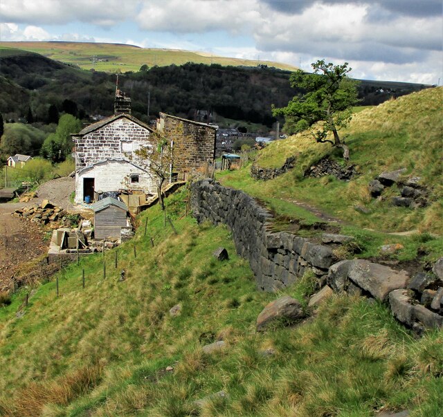
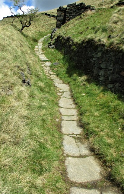
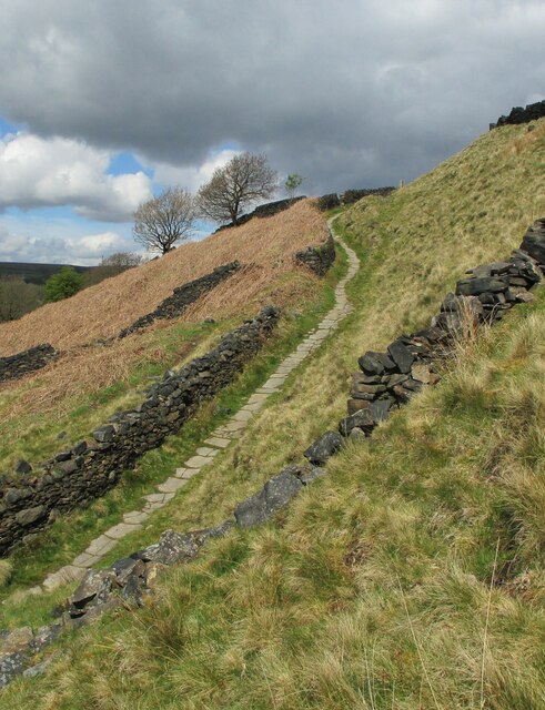
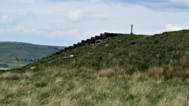
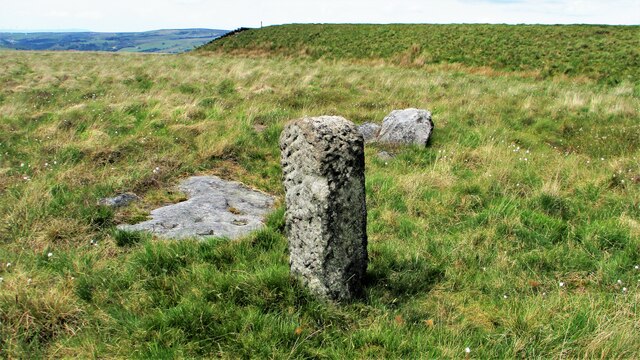
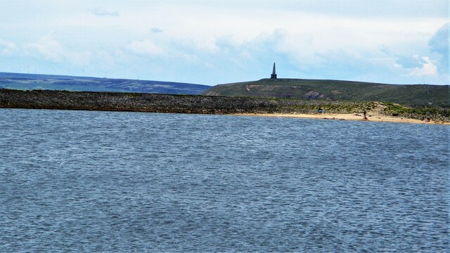
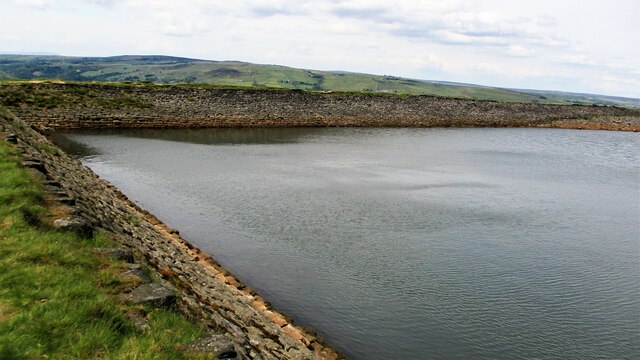
Birks Wood Images

Images are sourced within 2km of 53.693549/-2.097809 or Grid Reference SD9321. Thanks to Geograph Open Source API. All images are credited.

Rochdale Canal at Gauxholme View from Rochdale to Leeds railway
Rochdale Canal at Gauxholme
View from Rochdale to Leeds railway
Summit Railway Tunnel Air Shaft No.10 North of Moor Bank Clough
Summit Railway Tunnel Air Shaft No.10
North of Moor Bank Clough
Summit Railway Tunnel Air Shaft No.11 Shaft above Bellholme Sports Ground
Summit Railway Tunnel Air Shaft No.11
Shaft above Bellholme Sports Ground
Summit Railway Tunnel Air Shaft No.12 Shaft South East of Rough Stones
Summit Railway Tunnel Air Shaft No.12
Shaft South East of Rough Stones
Summit Railway Tunnel Air Shaft, Bottomley Large Oval Shaft off Bottomley Road
Summit Railway Tunnel Air Shaft, Bottomley
Large Oval Shaft off Bottomley Road
Summit Railway Tunnel Air Shaft No.11 The Shaft with the monitoring equipment removed
Summit Railway Tunnel Air Shaft No.11
The Shaft with the monitoring equipment removed
Eyecatcher Wall of Warland Farm The farm yard boundary wall is conspicuous in the landscape of the Summit pass
Eyecatcher Wall of Warland Farm
The farm yard boundary wall is conspicuous in the landscape of the Summit pass
Causey Stones on Packhorse Track The climb up after Dean Royd Farm towards Bottomley
Causey Stones on Packhorse Track
The climb up after Dean Royd Farm towards Bottomley
Packhorse Track behind Dean Royd Farm The track at this point has a substantial embankment
Packhorse Track behind Dean Royd Farm
The track at this point has a substantial embankment
Causey Stones on Packhorse Track The climb up after Dean Royd Farm to Hollingworth Gate
Causey Stones on Packhorse Track
The climb up after Dean Royd Farm to Hollingworth Gate
Causey Stones on Packhorse Track Final climb of track before flatter section to Hollingworth Gate
Causey Stones on Packhorse Track
Final climb of track before flatter section to Hollingworth Gate
Lower Knowl A work in progress
Lower Knowl
A work in progress
Swineshead Farm View from Lower Knowl
Swineshead Farm
View from Lower Knowl
Lower Knowl A farmhouse hopefully work in progress
Lower Knowl
A farmhouse hopefully work in progress
Steps at Gaddings Dam Steps at western corner of dam showing daylight through them
Steps at Gaddings Dam
Steps at western corner of dam showing daylight through them
Langfield Common Boundary Stone Stone with L on face away from camera, nothing discernible on other. Gaddings Dam steps in background
Langfield Common Boundary Stone
Stone with L on face away from camera, nothing discernible on other. Gaddings Dam steps in background
Costa del Todmordo The beach in Gaddings Dam, a very popular spot for Todmorden folk. Stoodley Pike Monument in the background
Costa del Todmordo
The beach in Gaddings Dam, a very popular spot for Todmorden folk. Stoodley Pike Monument in the background
Gaddings Dam The stone inner face of the dam. Gaddings is maintained by a local Group with Friends support.
Gaddings Dam
The stone inner face of the dam. Gaddings is maintained by a local Group with Friends support.
Show me another place!

Birks Wood is located at Grid Ref: SD9321 (Lat: 53.693549, Lng: -2.097809)

Unitary Authority: Calderdale

Police Authority: West Yorkshire

What 3 Words

///fermented.lake.songbirds. Near Walsden, West Yorkshire

Related Wikis

Walsden

Walsden (; WOLZ-dən) is a large village in the civil parish of Todmorden in the Metropolitan Borough of Calderdale, West Yorkshire, England. It was historically...

Walsden railway station

Walsden railway station (; WOLZ-dən) serves the village of Walsden, Todmorden in West Yorkshire, England, on the edge of the Pennines. It is served by...

Summit Tunnel

Summit Tunnel in England is one of the world's oldest railway tunnels. It was constructed between 1838 and 1841 by the Manchester and Leeds Railway Company...

Todmorden Unitarian Church

Todmorden Unitarian Church is a Unitarian church located in Honey Hole Road, Todmorden, West Yorkshire, England (grid reference SD935239). Built in honour...

Nearby Amenities

Located within 500m of 53.693549,-2.097809
Walsden
Created By: YahooApplet 1.0
Is In: Calderdale, West Yorkshire, Yorkshire, UK
Place: village
Wikidata: Q7963802
Lat/Long: 53.6951303/-2.1014452
Waterway: turning_point
Lat/Long: 53.6915405/-2.1000772
Seamark Type: gate
Waterway: lock_gate
Lat/Long: 53.6924008/-2.099506
Seamark Type: gate
Waterway: lock_gate
Lat/Long: 53.6940578/-2.0995734
Seamark Type: gate
Waterway: lock_gate
Lat/Long: 53.6962696/-2.1032692
Seamark Type: gate
Waterway: lock_gate
Lat/Long: 53.6964686/-2.1034292
Seamark Type: gate
Waterway: lock_gate
Lat/Long: 53.6942956/-2.0995911
Seamark Type: gate
Waterway: lock_gate
Lat/Long: 53.6921792/-2.0995575
Seamark Type: gate
Waterway: lock_gate
Lat/Long: 53.690511/-2.0996436
Seamark Type: gate
Waterway: lock_gate
Lat/Long: 53.6907123/-2.0998229
Bus Stop
Rochdale Road
Bus: yes
Local Ref: 45018939
Naptan AtcoCode: 450018939
Naptan Bearing: SE
Naptan CommonName: Rochdale Road
Naptan Crossing: Vulcan Street
Naptan Indicator: Stop 45018939
Naptan PlusbusZoneRef: LEEDS
Naptan ShortCommonName: Vulcan Street
Naptan Street: Rochdale Road
Naptan Verified: no
Public Transport: platform
Source: naptan_import
Lat/Long: 53.6955501/-2.1030034
Bus Stop
Rochdale Road Nelson Street
Bus: yes
Local Ref: 45018940
Naptan AtcoCode: 450018940
Naptan Bearing: S
Naptan CommonName: Rochdale Road Nelson Street
Naptan Crossing: Nelson Street
Naptan Indicator: Stop 45018940
Naptan Landmark: Cross Keys PH
Naptan PlusbusZoneRef: LEEDS
Naptan ShortCommonName: Nelson Street
Naptan Street: Rochdale Road
Naptan Verified: no
Public Transport: platform
Source: naptan_import
Lat/Long: 53.693755/-2.09997
Bus Stop
Rochdale Road Unity Street
Bus: yes
Local Ref: 45018941
Naptan AtcoCode: 450018941
Naptan Bearing: N
Naptan CommonName: Rochdale Road Unity Street
Naptan Crossing: Unity Street
Naptan Indicator: Stop 45018941
Naptan Landmark: Cross Keys PH
Naptan PlusbusZoneRef: LEEDS
Naptan ShortCommonName: Unity Street
Naptan Street: Rochdale Road
Naptan Verified: no
Public Transport: platform
Source: naptan_import
Lat/Long: 53.6933953/-2.1000752
Bus Stop
Rochdale Road
Bus: yes
Local Ref: 45018942
Naptan AtcoCode: 450018942
Naptan Bearing: NE
Naptan CommonName: Rochdale Road
Naptan Crossing: Scott Street
Naptan Indicator: Stop 45018942
Naptan PlusbusZoneRef: LEEDS
Naptan ShortCommonName: Skew Bridge Walsden
Naptan Street: Rochdale Road
Naptan Verified: no
Public Transport: platform
Source: naptan_import
Lat/Long: 53.691498/-2.1009793
Bus Stop
Walsden Scott Street
Bus: yes
Local Ref: 45018943
Naptan AtcoCode: 450018943
Naptan Bearing: SW
Naptan CommonName: Walsden Scott Street
Naptan Crossing: Scott Street
Naptan Indicator: Stop 45018943
Naptan Landmark: Garden Centre
Naptan PlusbusZoneRef: LEEDS
Naptan ShortCommonName: Scott Street
Naptan Street: Rochdale Road
Naptan Verified: no
Public Transport: platform
Source: naptan_import
Lat/Long: 53.6911114/-2.1011299
Bus Stop
Walsden Cricket Ground
Bench: yes
Bin: yes
Bus: yes
Local Ref: 45018944
Naptan AtcoCode: 450018944
Naptan Bearing: N
Naptan CommonName: Walsden Cricket Ground
Naptan Crossing: Adj Strines Street
Naptan Indicator: Stop 45018944
Naptan Landmark: Cricket Ground
Naptan Notes: Shelter removed to be replaced by TF. New TF shelter installed on 31/10/07. Awaiting survey.
Naptan PlusbusZoneRef: LEEDS
Naptan ShortCommonName: Strines Street
Naptan Street: Rochdale Road
Naptan Verified: no
Public Transport: platform
Shelter: yes
Source: naptan_import
Lat/Long: 53.6902338/-2.1019996
Bus Stop
Rochdale Road Strines Street
Bus: yes
Local Ref: 45018945
Naptan AtcoCode: 450018945
Naptan Bearing: S
Naptan CommonName: Rochdale Road Strines Street
Naptan Crossing: Strines Street
Naptan Indicator: Stop 45018945
Naptan Landmark: Gordon Rigg Garden Centre
Naptan PlusbusZoneRef: LEEDS
Naptan ShortCommonName: Strines Street
Naptan Street: Rochdale Road
Naptan Verified: no
Public Transport: platform
Shelter: yes
Source: naptan_import
Lat/Long: 53.6899334/-2.1017025
Bus Stop
Hollins Road
Bus: yes
Local Ref: 45018959
Naptan AtcoCode: 450018959
Naptan Bearing: N
Naptan CommonName: Hollins Road
Naptan Crossing: Knowsley Avenue
Naptan Indicator: Stop 45018959
Naptan PlusbusZoneRef: LEEDS
Naptan ShortCommonName: Knowsley Avenue
Naptan Street: Hollins Road
Naptan Verified: no
Public Transport: platform
Source: naptan_import
Lat/Long: 53.6949858/-2.1006999
Bus Stop
Scott Street
Bus: yes
Local Ref: 45024662
Naptan AtcoCode: 450024662
Naptan Bearing: NE
Naptan BusStopType: CUS
Naptan CommonName: Scott Street
Naptan Crossing: Cedar Street
Naptan Indicator: Stop 45024662
Naptan PlusbusZoneRef: LEEDS
Naptan ShortCommonName: Cedar Street
Naptan Street: Scott Street
Naptan Verified: no
Physically Present: no
Public Transport: platform
Shelter: no
Source: naptan_import
Lat/Long: 53.6918138/-2.1028749
Bus Stop
Rochdale Road
Bus: yes
Local Ref: 45024710
Naptan AtcoCode: 450024710
Naptan Bearing: NW
Naptan CommonName: Rochdale Road
Naptan Crossing: Winterbutlee Road
Naptan Indicator: Stop 45024710
Naptan Landmark: Hollins Mill
Naptan PlusbusZoneRef: LEEDS
Naptan ShortCommonName: Winterbutlee Road
Naptan Street: Rochdale Road
Naptan Verified: no
Public Transport: platform
Source: naptan_import
Lat/Long: 53.694841/-2.1018658
Bus Stop
Hollins Road Works
Bus: yes
Local Ref: 45050706
Naptan AtcoCode: 450050706
Naptan Bearing: S
Naptan BusStopType: CUS
Naptan CommonName: Hollins Road Works
Naptan Indicator: Stop 45050706
Naptan PlusbusZoneRef: LEEDS
Naptan ShortCommonName: Hollins Mews
Naptan Street: Hollins Road
Naptan Verified: no
Public Transport: platform
Source: naptan_import
Lat/Long: 53.6950128/-2.1005485
Post Office
Walsden Post Office
Addr City: Todmorden
Addr Postcode: OL14 7SN
Branch: Walsden
Brand: Post Office
Brand Wikidata: Q1783168
Check Date: 2020-02-20
Contact Website: https://www.postoffice.co.uk/branch-finder/2804247/walsden
Ref Pol Id: 11237
Lat/Long: 53.694151/-2.1000499
Pub
Cross Keys
Lat/Long: 53.693612/-2.099862
Noexit: yes
Lat/Long: 53.6946419/-2.0999042
Turning Circle
Lat/Long: 53.6908554/-2.0961686
Man Made: tower
Tower Type: communication
Lat/Long: 53.690662/-2.0965301
Operator: Northern Powergrid
Operator Wikidata: Q7058871
Power: transformer
Lat/Long: 53.695954/-2.1020096
Turning Circle
Lat/Long: 53.6925232/-2.0925118
Siren
Emergency: siren
Operator: Environment Agency
Operator Wikidata: Q5381011
Siren Purpose: flood_warning
Lat/Long: 53.6955348/-2.1029412
The data included in this document is from www.openstreetmap.org. The data is made available under ODbL.

Have you been to Birks Wood?

Leave your review of Birks Wood below (or comments, questions and feedback).