Hagley Wood

Wood, Forest in Worcestershire Bromsgrove

England

Hagley Wood

Pathway to Clent Hills Just outside the village of Clent
Pathway to Clent Hills Credit: Geoff Gartside

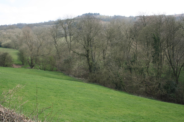
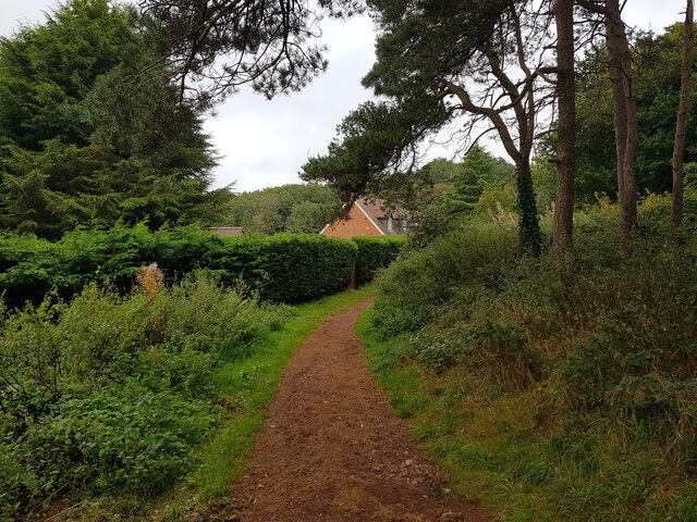
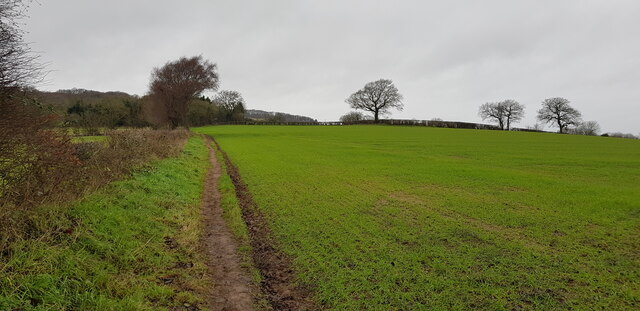
Hagley Wood, situated in Worcestershire, England, is a picturesque woodland area renowned for its natural beauty and historical significance. Covering an area of approximately 350 acres, it forms part of the larger Hagley Park estate and is surrounded by lush green fields and rolling hills.

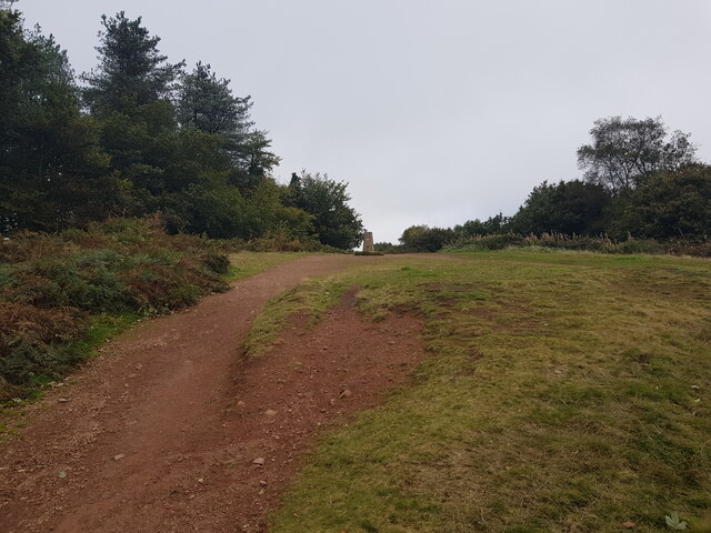
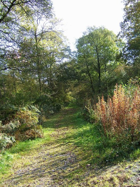
The wood boasts a diverse range of tree species, including oak, beech, and ash, creating a rich and vibrant ecosystem. The dense woodland provides a haven for wildlife, with numerous bird species, small mammals, and insects calling it home. Visitors can enjoy peaceful walks along the well-maintained trails, immersing themselves in the tranquil atmosphere and taking in the captivating sights and sounds of nature.

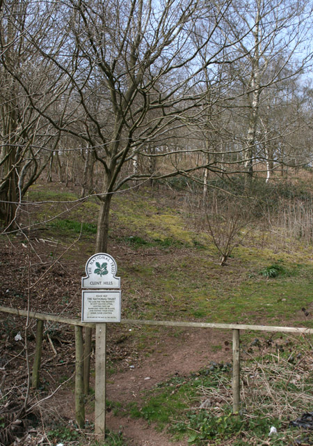
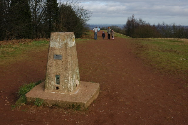
One of the wood's most notable features is the Clent Hills, a range of low sandstone hills that offer breathtaking panoramic views of the surrounding countryside. These hills are a popular destination for hikers and nature enthusiasts, providing ample opportunities for outdoor activities such as picnicking, jogging, and bird-watching.

Hagley Wood also holds historical significance, as it was the setting for the notorious Hagley Wood murder case in 1943. This tragic event involved the discovery of the remains of a woman, Bella in the Wych Elm. The murder mystery remains unsolved to this day, adding an air of intrigue to the wood's already captivating allure.

Overall, Hagley Wood is a captivating destination for nature lovers and history enthusiasts alike, offering a serene escape from the hustle and bustle of everyday life.

If you have any feedback on the listing, please let us know in the comments section below.
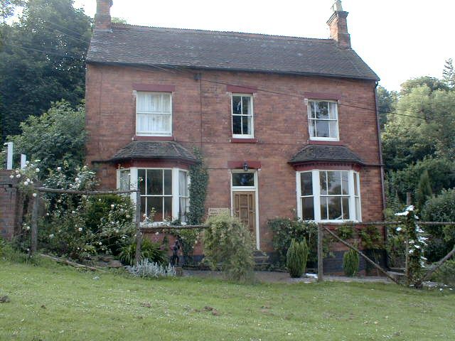
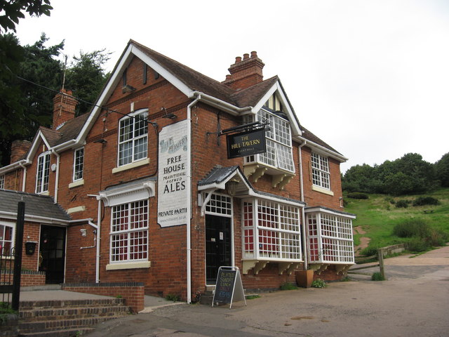
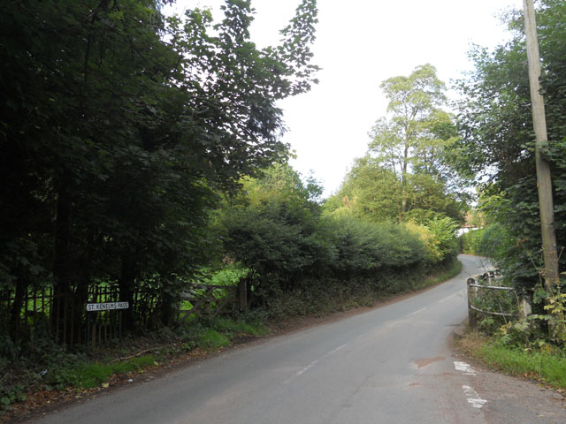
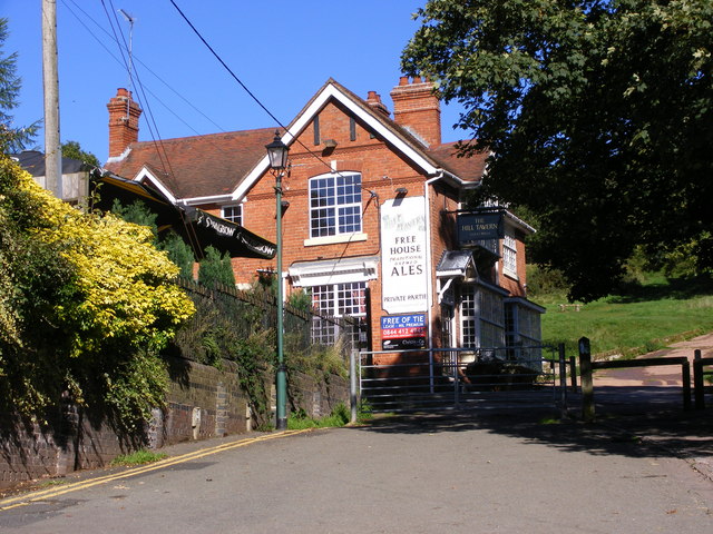
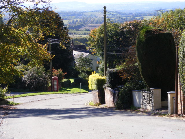
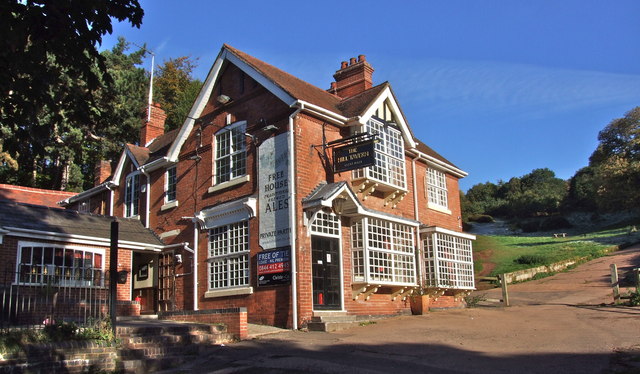
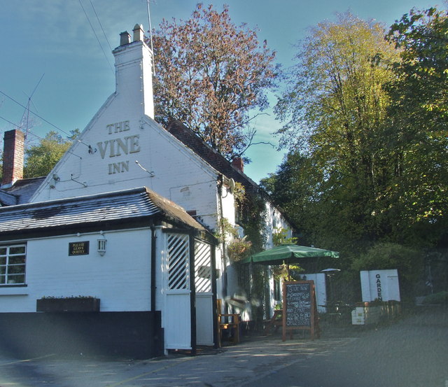
Hagley Wood Images

Images are sourced within 2km of 52.430272/-2.0952901 or Grid Reference SO9381. Thanks to Geograph Open Source API. All images are credited.

Pathway to Clent Hills Just outside the village of Clent
Pathway to Clent Hills
Just outside the village of Clent
Looking towards Walton Hill, near Clent
Vine Inn Edge of Clent village
Vine Inn
Edge of Clent village
Cottages in Clent Near the Vine Inn on the road to St Kenelm's Church and Romsley
Cottages in Clent
Near the Vine Inn on the road to St Kenelm's Church and Romsley
Trig point on Walton Hill The trig point on Walton Hill is 315m above sea level.
Trig point on Walton Hill
The trig point on Walton Hill is 315m above sea level.
Houses in Clent These houses in Clent are near the Hill Tavern and popular starting point for a walk on the Clent Hills.
Houses in Clent
These houses in Clent are near the Hill Tavern and popular starting point for a walk on the Clent Hills.
Cottages at Adam's Hill, Clent
The Hill Tavern A public house at the foot of the Clent Hills.
The Hill Tavern
A public house at the foot of the Clent Hills.
Adam House A bed-and-breakfast establishment halfway up Adams Hill, Clent.
Adam House
A bed-and-breakfast establishment halfway up Adams Hill, Clent.
The Hill Tavern, Clent Worcestershire The Hill Tavern at the foot of the Adam’s Hill dates back to the 1840’s.
The Hill Tavern, Clent Worcestershire
The Hill Tavern at the foot of the Adam’s Hill dates back to the 1840’s.
St. Kenelms Pass
St. Kenelms Pass
The Hill Tavern The Pub at the top of Adam's Hill road near Clent.
The Hill Tavern
The Pub at the top of Adam's Hill road near Clent.
Adam's Hill View The view south west from the Clent Hill.
Adam's Hill View
The view south west from the Clent Hill.
The Hill Tavern, Clent
The Vine Inn, Clent
The Vine Inn, Clent
Path from Clent Hill towards Clent
Trig point on Walton Hill
Footpath near Holt Farm This footpath seems fairly well used, but those that join it in this area less so.
Footpath near Holt Farm
This footpath seems fairly well used, but those that join it in this area less so.
Show me another place!

Hagley Wood is located at Grid Ref: SO9381 (Lat: 52.430272, Lng: -2.0952901)

Administrative County: Worcestershire

District: Bromsgrove

Police Authority: West Mercia

What 3 Words

///behave.deeper.desks. Near Hagley, Worcestershire

Related Wikis

Nearby Amenities

Located within 500m of 52.430272,-2.0952901
Bus Stop
Hagley Golf Course
Bus: yes
Naptan AtcoCode: 2000G503072
Naptan Bearing: SW
Naptan CommonName: Hagley Golf Course
Naptan Indicator: Adj
Naptan Landmark: Hagley Golf Course
Naptan NaptanCode: wocdtpdp
Naptan Street: Hagley Causeway
Naptan Verified: no
Public Transport: platform
Source: naptan_import
Lat/Long: 52.4323012/-2.0989154
Man Made: manhole
Manhole: water
Lat/Long: 52.4304563/-2.0894434
Crossing
Lat/Long: 52.4279943/-2.0907635
Power: pole
Lat/Long: 52.4305253/-2.1005372
Power: pole
Lat/Long: 52.430395/-2.1014136
Power: pole
Lat/Long: 52.4307986/-2.0997392
Power: pole
Lat/Long: 52.4302679/-2.1021822
Power: pole
Lat/Long: 52.4306825/-2.0890088
Power: pole
Lat/Long: 52.4310429/-2.0883735
Power: pole
Lat/Long: 52.4305183/-2.0997497
Power: pole
Lat/Long: 52.4304904/-2.0901194
Man Made: manhole
Manhole: water
Lat/Long: 52.4306292/-2.1008181
Barrier: kissing_gate
Lat/Long: 52.4272842/-2.0954183
Barrier: stile
Lat/Long: 52.4273319/-2.0955615
Barrier: stile
Bicycle: no
Foot: yes
Horse: no
Motor Vehicle: no
Lat/Long: 52.4271256/-2.0980666
Man Made: manhole
Manhole: water
Lat/Long: 52.4305433/-2.090337
The data included in this document is from www.openstreetmap.org. The data is made available under ODbL.

Have you been to Hagley Wood?

Leave your review of Hagley Wood below (or comments, questions and feedback).