High Plantation

Wood, Forest in Yorkshire Craven

England

High Plantation

Narrow stile by Flasby Beck In the trees you can just see the bridge carrying the access track to Flasby Moor Side Farm.
Narrow stile by Flasby Beck Credit: Bill Boaden

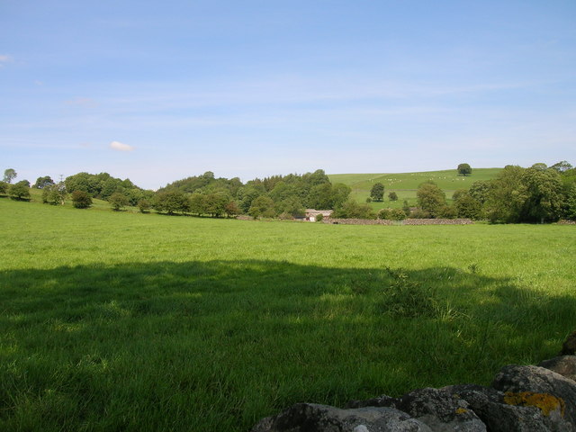
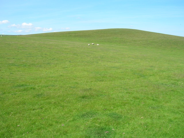
High Plantation is a scenic and expansive woodland area located in Yorkshire, England. Situated in the heart of the county, it covers a vast area of approximately 100 acres. The plantation is renowned for its lush greenery, towering trees, and diverse flora and fauna, making it a popular destination for nature enthusiasts and hikers alike.

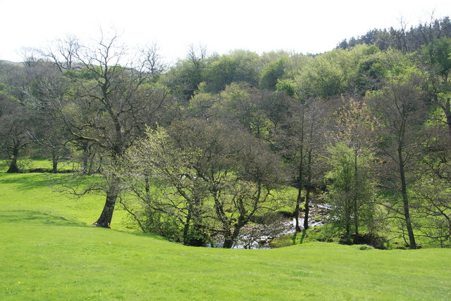
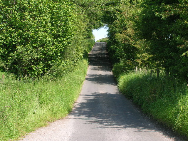
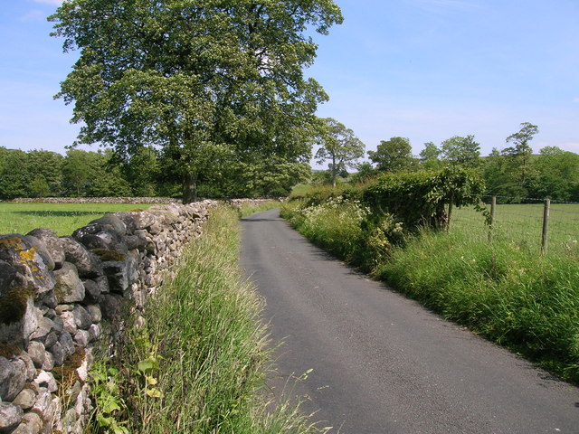
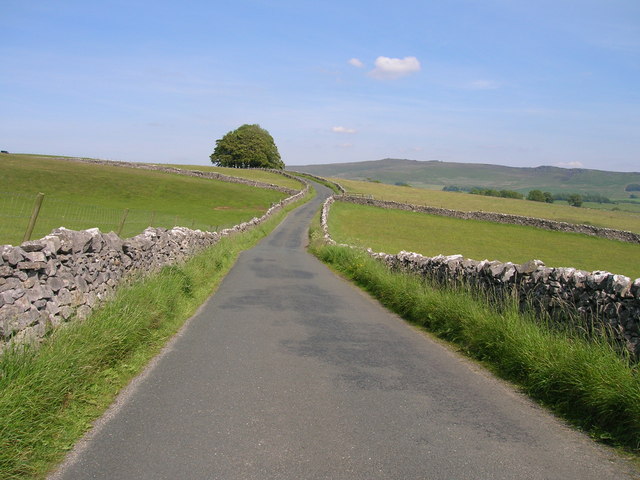
The woodland is primarily composed of a mix of coniferous and deciduous trees, including oak, beech, pine, and spruce, creating a captivating and varied landscape. Within the plantation, there are several designated walking trails that wind through the woods, providing visitors with the opportunity to explore the area's natural beauty.

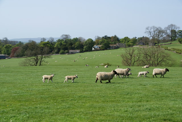
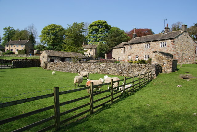
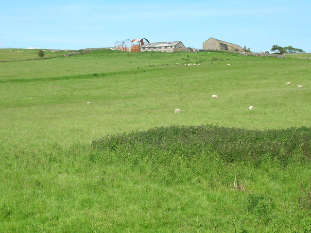
Wildlife thrives within High Plantation, with an abundance of species calling it home. Visitors may catch sight of a variety of birds, including owls, woodpeckers, and thrushes, as well as small mammals like squirrels and rabbits. The woodland's tranquil atmosphere and untouched surroundings offer a peaceful retreat for those seeking solace in nature.

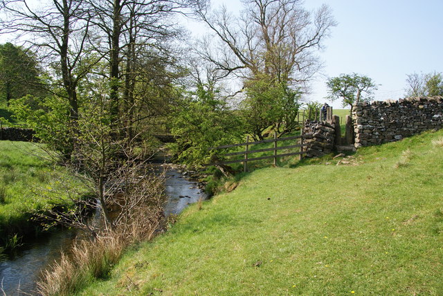
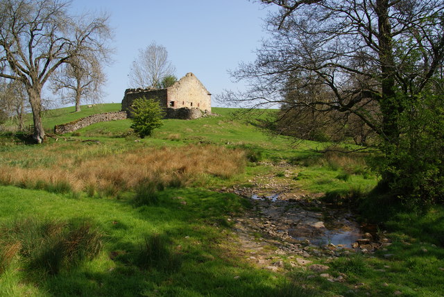
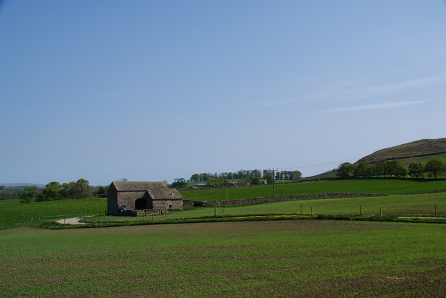
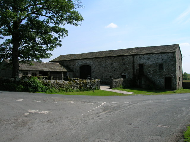
High Plantation is not only a haven for wildlife but also a historically significant site. The woodland has been preserved for centuries and has remained largely unchanged, offering a glimpse into the region's rich history. Visitors can discover remnants of ancient stone walls and structures, providing a glimpse into the area's past.

Overall, High Plantation in Yorkshire is a captivating woodland area that offers visitors a unique opportunity to immerse themselves in nature. With its diverse array of trees, abundant wildlife, and historical significance, it is a must-visit destination for nature enthusiasts and history buffs alike.

If you have any feedback on the listing, please let us know in the comments section below.

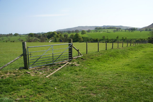
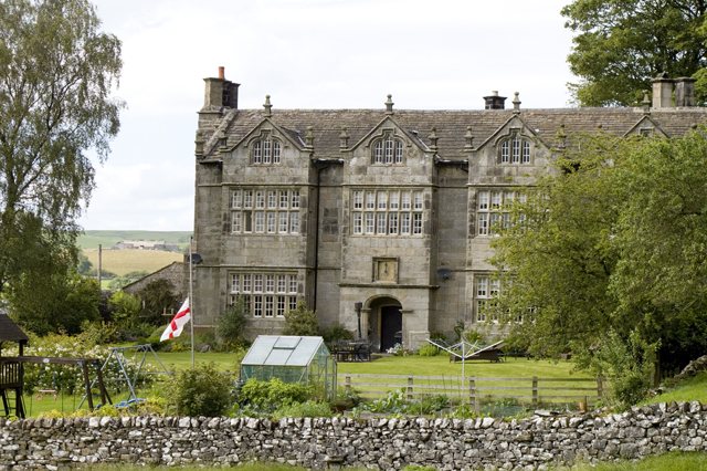
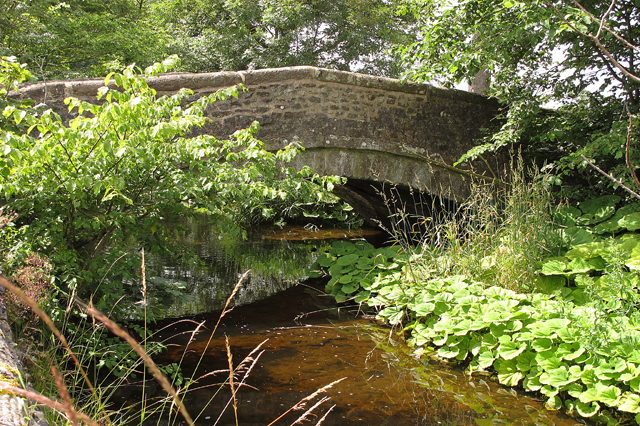
High Plantation Images

Images are sourced within 2km of 54.011467/-2.0996995 or Grid Reference SD9357. Thanks to Geograph Open Source API. All images are credited.

Narrow stile by Flasby Beck In the trees you can just see the bridge carrying the access track to Flasby Moor Side Farm.
Narrow stile by Flasby Beck
In the trees you can just see the bridge carrying the access track to Flasby Moor Side Farm.
Gate between fields above Flasby Flasby is out of sight in the dip ahead. We had inadvertently wandered away from the path which is nearer to Flasby Beck.
Gate between fields above Flasby
Flasby is out of sight in the dip ahead. We had inadvertently wandered away from the path which is nearer to Flasby Beck.
Sheep near Flasby Flasby is in the trees ahead.
Sheep near Flasby
Flasby is in the trees ahead.
Holme Laithe
Holme Laithe
Flasby As seen from the footpath alongside Flasby Beck.
Flasby
As seen from the footpath alongside Flasby Beck.
Flasby Beck Viewed from the side of Holme Laithe.
Flasby Beck
Viewed from the side of Holme Laithe.
Oldfield Laithe On the western lower slopes of Flasby Fell.
Oldfield Laithe
On the western lower slopes of Flasby Fell.
Farmland, Cowper Cote
Minor road towards Winterburn
Farmland near Winterburn
Winterburn Hall
Winterburn Hall
Farmland off Hills Lane
Hills Lane towards Hetton
New Laithe Barn, Eshton
Entrance Drive to Seat House
Friars Head Hall. Winterburn
Road bridge over Winterburn Beck
Show me another place!

High Plantation is located at Grid Ref: SD9357 (Lat: 54.011467, Lng: -2.0996995)

Division: West Riding

Administrative County: North Yorkshire

District: Craven

Police Authority: North Yorkshire

What 3 Words

///give.bicker.adventure. Near Gargrave, North Yorkshire

Related Wikis

Flasby

Flasby is a hamlet in the Yorkshire Dales in North Yorkshire, England. It is one of the two settlements, with Winterburn, in the civil parish of Flasby...

Winterburn

Winterburn is a village in the Craven district of North Yorkshire, England. It is about 5 miles (8 km) south west of Grassington. Winterburn Reservoir...

Newfield Hall

Newfield Hall is a former country house located 1 mile (1.6 km) to the southeast of the village of Airton, North Yorkshire, England. It is now a hotel...

Hetton, North Yorkshire

Hetton is a small Dales village in the civil parish of Hetton-cum-Bordley, in the North Yorkshire district of North Yorkshire, England, situated 5.75 miles...

Nearby Amenities

Located within 500m of 54.011467,-2.0996995
Archaeological Site: tumulus
Historic: archaeological_site
Source: NPE;OS-historic-25k-OSM_Limited
Lat/Long: 54.0136135/-2.1000407
camp
Archaeological Site: camp
Historic: archaeological_site
Note: "camp" usually implies a roman encampment. I have not found any recent archealogical reference to this - possibly bogus?
Source: NPE;OS sheet 150, publ. 1853
Lat/Long: 54.0137282/-2.1005482
Scarnber Hill
Description: Part of Skipton drumlin field
Ele Ft: 675
Geomorphology: drumlin
Natural: peak
Source: OS 1:25k
Source Ele: OS sheet 150,publ. 1853
Lat/Long: 54.0128469/-2.0953399
Ele: 670 ft
Man Made: survey_point
Source: OS sheet 150,publ. 1853
Lat/Long: 54.0127495/-2.0965103
lime kiln
Archaeological Site: lime_kiln
Historic: archaeological_site
Mineral: limestone
Output: lime
Source: OS sheet 150, publ. 1853
Lat/Long: 54.0112822/-2.0994961
Archaeological Site: petroglyph
Description: At least 7 cup marks in gritstone built into drystone wall.
Heritage: 2
Heritage Operator: he
Historic: archaeological_site
Ref He: 1015094
Lat/Long: 54.0117118/-2.0977517
Power: pole
Source: Bing
Lat/Long: 54.0086879/-2.1051227
Power: pole
Source: Bing
Lat/Long: 54.0095857/-2.1049177
Power: pole
Source: Bing
Lat/Long: 54.0104683/-2.1047076
Power: pole
Source: Bing
Lat/Long: 54.0113615/-2.1044742
Power: pole
Source: Bing
Lat/Long: 54.0123812/-2.104207
Power: pole
Source: Bing
Lat/Long: 54.0132241/-2.1039009
Power: pole
Source: Bing
Lat/Long: 54.013849/-2.1036752
Power: pole
Source: Bing
Lat/Long: 54.0143245/-2.1034833
Power: pole
Source: Bing
Lat/Long: 54.0150272/-2.1031928
Power: pole
Source: Bing
Lat/Long: 54.0145806/-2.1021215
Power: pole
Source: Bing
Lat/Long: 54.0148366/-2.100783
Power: pole
Source: Bing
Lat/Long: 54.0151018/-2.0993641
Power: pole
Source: Bing
Lat/Long: 54.0153655/-2.0980023
Power: pole
Source: Bing
Lat/Long: 54.0155896/-2.0967832
Power: pole
Source: Bing
Lat/Long: 54.0088753/-2.1059475
Power: pole
Source: Bing
Lat/Long: 54.007319/-2.1013005
Power: pole
Source: Bing
Lat/Long: 54.0074745/-2.1002551
Power: pole
Source: Bing
Lat/Long: 54.0076467/-2.0992746
Power: pole
Source: Bing
Lat/Long: 54.0078296/-2.0981437
Power: pole
Source: Bing
Lat/Long: 54.007787/-2.0966859
Power: pole
Source: Bing
Lat/Long: 54.0077321/-2.0954668
The data included in this document is from www.openstreetmap.org. The data is made available under ODbL.

Have you been to High Plantation?

Leave your review of High Plantation below (or comments, questions and feedback).