Jubilee Wood
Wood, Forest in Dorset
England
Jubilee Wood
Jubilee Wood is a picturesque woodland located in Dorset, England. Covering an area of approximately 50 acres, it is nestled within the stunning countryside and offers visitors a peaceful retreat away from the hustle and bustle of modern life.
The wood is named after the Queen's Diamond Jubilee in 2012 when it was created as part of a national initiative to commemorate the historic occasion. It was planted with a variety of native trees, including oak, birch, and beech, providing a diverse habitat for a wide range of wildlife.
As visitors explore Jubilee Wood, they will discover a network of well-maintained walking trails that wind through the trees, allowing them to immerse themselves in the beauty of nature. The paths are suitable for all abilities and offer opportunities for leisurely strolls, jogging, or dog walking.
The wood is home to an abundance of flora and fauna, with wildflowers carpeting the forest floor in the spring and summer months. Birdwatchers will delight in the opportunity to spot various species, including woodpeckers, owls, and songbirds.
Jubilee Wood also features several designated picnic areas, providing a perfect spot for visitors to relax and enjoy the tranquil surroundings. In addition, there are benches strategically placed throughout the wood for those seeking a moment of contemplation or simply to admire the scenery.
Overall, Jubilee Wood is a hidden gem in Dorset, offering a haven of natural beauty and tranquility for all who visit. Whether it's a leisurely walk, a family picnic, or a chance to connect with nature, this woodland provides an idyllic escape from everyday life.
If you have any feedback on the listing, please let us know in the comments section below.
Jubilee Wood Images
Images are sourced within 2km of 50.70306/-2.0925296 or Grid Reference SY9389. Thanks to Geograph Open Source API. All images are credited.


Jubilee Wood is located at Grid Ref: SY9389 (Lat: 50.70306, Lng: -2.0925296)
Unitary Authority: Dorset
Police Authority: Dorset
What 3 Words
///cable.lost.prevented. Near Wareham, Dorset
Nearby Locations
Related Wikis

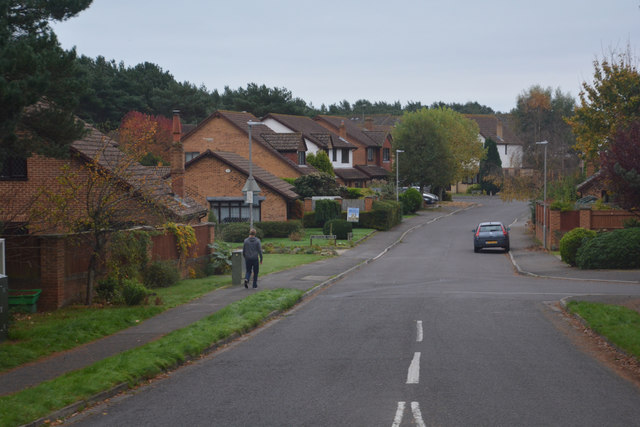
Sandford, Dorset
Sandford is a village in the English county of Dorset, on the A351 road some two miles from Wareham and seven miles from Poole. Sandford forms the only...
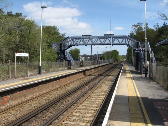
Holton Heath railway station
Holton Heath railway station serves the area of Holton Heath in Wareham St Martin, Dorset, England. It is 118 miles 61 chains (191.1 km) down the line...

River Piddle
The River Piddle or Trent or North River is a small rural Dorset river which rises in the Dorset Downs and flows into Poole Harbour near Wareham. ��2...

Mid Dorset and North Poole (UK Parliament constituency)
Mid Dorset and North Poole is a constituency represented in the House of Commons of the UK Parliament since 2015 by Michael Tomlinson, a Conservative....

Wareham railway station
Wareham railway station serves the historic market town of Wareham in Dorset, England. It is situated about 0.6 miles (1 km) north of the town centre....

Gigger's Island
Gigger's Island is an island in Poole Harbour in the English county of Dorset. The island is situated near to the Frome and Piddle rivers, near to the...

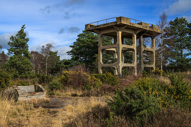
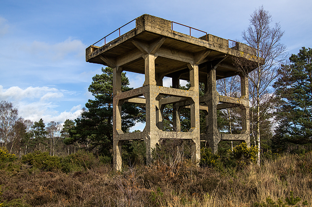
Royal Naval Cordite Factory, Holton Heath
The Royal Naval Cordite Factory, Holton Heath (RNCF) was set up at Holton Heath, Dorset, England, in World War I to manufacture cordite for the Royal Navy...

Holton Heath
Holton Heath is an area of the parish of Wareham St. Martin, Dorset, England. The area includes a trading estate, on the site of the former Royal Navy...
Nearby Amenities
Located within 500m of 50.70306,-2.0925296Have you been to Jubilee Wood?
Leave your review of Jubilee Wood below (or comments, questions and feedback).