Harelowcurrock Plantation

Wood, Forest in Durham

England

Harelowcurrock Plantation

Plantation east of Weather Hill This is a small rectangular plantation lying north of an area known as Heights Pasture which is in turn north of Heights Quarry, (a large excavation on the north side of the Wear valley). It's seen here from the local high point - Weather Hill - just a few tens of metres to the west.
Plantation east of Weather Hill Credit: Trevor Littlewood

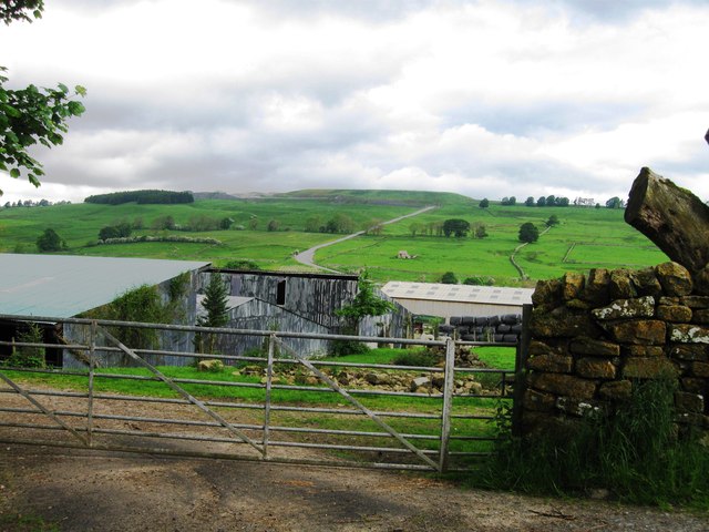
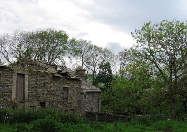
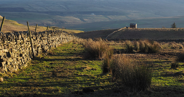
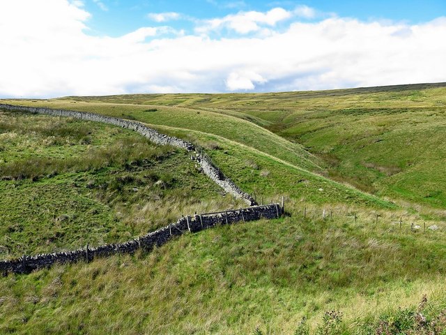
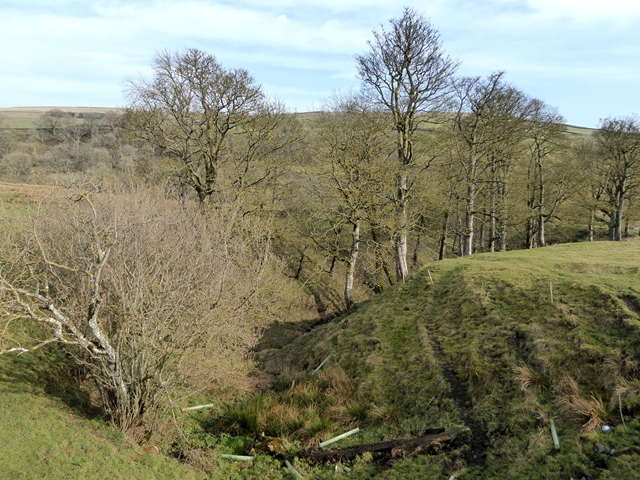
Harelowcurrock Plantation is a picturesque woodland located in Durham, England. Situated in the rural county, this plantation covers a vast area of land, offering a tranquil and serene environment for visitors to explore.

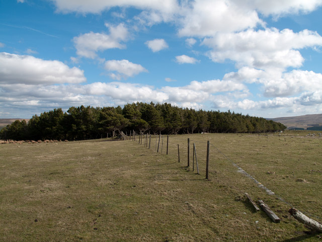
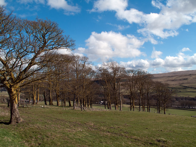
The plantation is primarily composed of dense forest, characterized by an abundance of tall and mature trees. The dominant species found here include oak, beech, and birch, contributing to the rich biodiversity of the area. The woodland floor is covered in a thick carpet of mosses, ferns, and wildflowers, creating a vibrant and colorful undergrowth.

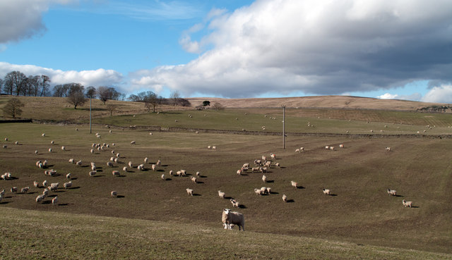
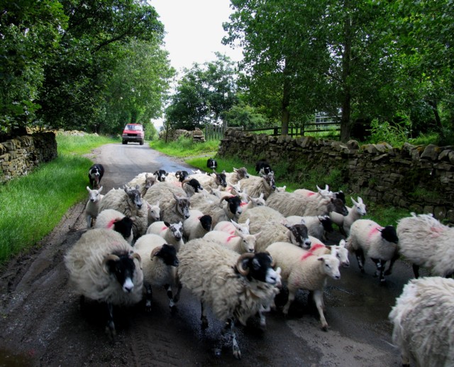
Harelowcurrock Plantation is home to a diverse range of wildlife, providing a natural habitat for numerous species. Visitors may spot red deer roaming freely, as well as smaller mammals such as foxes, badgers, and rabbits. The woodland is also a haven for birdwatchers, as it attracts various bird species, including woodpeckers, owls, and thrushes.

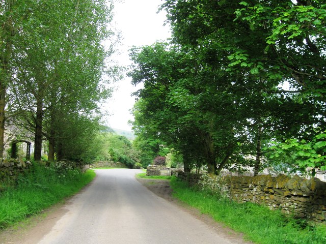
The plantation boasts a network of well-maintained footpaths that wind their way through the forest, allowing visitors to explore the area at their own pace. These paths offer breathtaking views of the surrounding countryside and are ideal for leisurely walks, nature hikes, and birdwatching.

Harelowcurrock Plantation is a popular destination for nature enthusiasts, offering an escape from the hustle and bustle of everyday life. The peaceful atmosphere, combined with the beauty of the natural surroundings, makes it an ideal location for those seeking tranquility and a connection with nature.

If you have any feedback on the listing, please let us know in the comments section below.

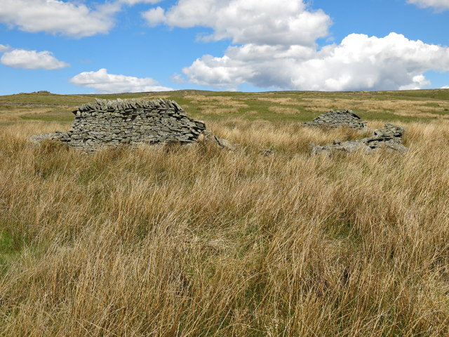
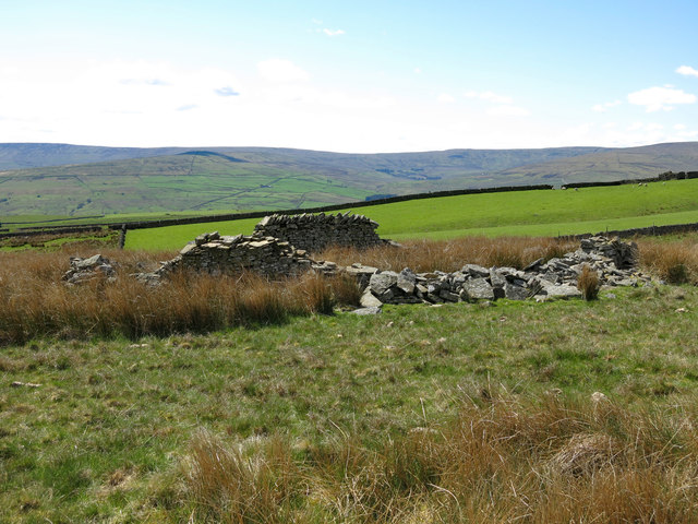
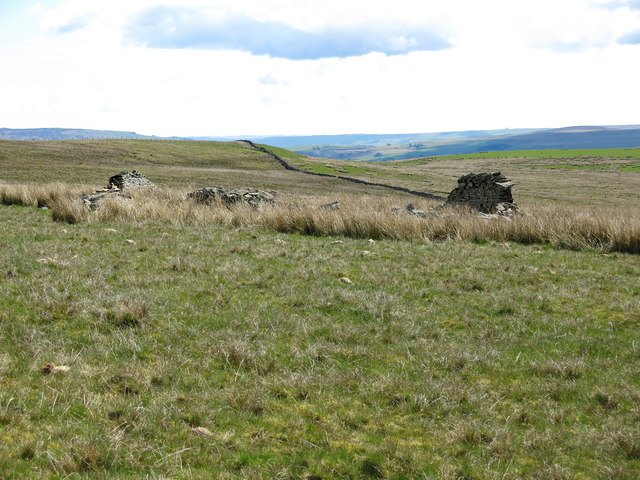
Harelowcurrock Plantation Images

Images are sourced within 2km of 54.748601/-2.1050176 or Grid Reference NY9339. Thanks to Geograph Open Source API. All images are credited.

Plantation east of Weather Hill This is a small rectangular plantation lying north of an area known as Heights Pasture which is in turn north of Heights Quarry, (a large excavation on the north side of the Wear valley). It's seen here from the local high point - Weather Hill - just a few tens of metres to the west.
Plantation east of Weather Hill
This is a small rectangular plantation lying north of an area known as Heights Pasture which is in turn north of Heights Quarry, (a large excavation on the north side of the Wear valley). It's seen here from the local high point - Weather Hill - just a few tens of metres to the west.
Sheep in fields east of farm at Rose Hill Expectant sheep occupy and graze these fields; at least one of them, nearest the camera, has already produced a lamb.
Sheep in fields east of farm at Rose Hill
Expectant sheep occupy and graze these fields; at least one of them, nearest the camera, has already produced a lamb.
South Eastgate Plantation Plantations are normally large and densely packed with coniferous trees; South Eastgate Plantation is small and thinly populated with broadleaved trees.
South Eastgate Plantation
Plantations are normally large and densely packed with coniferous trees; South Eastgate Plantation is small and thinly populated with broadleaved trees.
Storage shed
Storage shed
Herding Sheep
Herding Sheep
Ludwell Haymaking in fields on Ludwell Farm.
Ludwell
Haymaking in fields on Ludwell Farm.
Entrance to Eastgate
Westernhopeburn
Westernhopeburn
Westernhopeburn
Westernhopeburn
Ruin, Westernhopeburn
Dry stone wall near to Park Burn Park Burn is on the far side of the wall and descends close to the line of it into Weardale. The hillside in the distance is the southern slope of Weardale and there can be seen the now disused and landscaped quarry which once supplied limestone to the Blue Circle cement works at Eastgate. There's a working quarry - Heights Quarry - just out of view to the left side of the image; it's likely that the small building is connected with that or another extractive operation.
Dry stone wall near to Park Burn
Park Burn is on the far side of the wall and descends close to the line of it into Weardale. The hillside in the distance is the southern slope of Weardale and there can be seen the now disused and landscaped quarry which once supplied limestone to the Blue Circle cement works at Eastgate. There's a working quarry - Heights Quarry - just out of view to the left side of the image; it's likely that the small building is connected with that or another extractive operation.
Boundary wall near Crow's Cleugh
Gully in the lower Rookhope valley Below South Hanging Wells Farm.
Gully in the lower Rookhope valley
Below South Hanging Wells Farm.
Bungalow at South Hanging Wells Farm
Marden (2) Looking northeast from a field full of marsh marigolds towards Hangingwells Common.
Marden (2)
Looking northeast from a field full of marsh marigolds towards Hangingwells Common.
Ruined sheepfold on Marden The location of this sheepfold is shown in <a href="https://www.geograph.org.uk/photo/6193319">NY9140 : Marden</a>.
Ruined sheepfold on Marden
The location of this sheepfold is shown in NY9140 : Marden.
Ruined sheepfold on Marden (2)
Ruined sheepfold on Marden (3)
Show me another place!

Harelowcurrock Plantation is located at Grid Ref: NY9339 (Lat: 54.748601, Lng: -2.1050176)

Unitary Authority: County Durham

Police Authority: Durham

What 3 Words

///raft.hunk.synthetic. Near Stanhope, Co. Durham

Related Wikis

Weardale campaign

The Weardale campaign, part of the First War of Scottish Independence, occurred during July and August 1327 in Weardale, England. A Scottish force under...

Brotherlee

Brotherlee is a small village in the civil parish of Stanhope, in County Durham, England situated on the south side of Weardale, between Stanhope and Daddry...

Eastgate, County Durham

Eastgate is a village in the civil parish of Stanhope, in County Durham, England. It is situated in Weardale, a few miles west of Stanhope. In the 2001...

A689 road

The A689 is a road in northern England that runs east from the A595, 3.1 miles (5.0 km) to the west of Carlisle in Cumbria, to Hartlepool in County Durham...

Nearby Amenities

Located within 500m of 54.748601,-2.1050176
Power: pole
Lat/Long: 54.7470365/-2.1019978
Power: pole
Lat/Long: 54.746816/-2.0994889
Power: pole
Lat/Long: 54.7457967/-2.1097186
Power: pole
Lat/Long: 54.7469118/-2.098158
Power: pole
Lat/Long: 54.7473778/-2.1061161
Power: pole
Lat/Long: 54.7473484/-2.10575
Power: pole
Lat/Long: 54.74724/-2.1045014
Power: pole
Lat/Long: 54.7471317/-2.1032274
The data included in this document is from www.openstreetmap.org. The data is made available under ODbL.

Have you been to Harelowcurrock Plantation?

Leave your review of Harelowcurrock Plantation below (or comments, questions and feedback).