Limekiln Wood

Wood, Forest in Wiltshire

England

Limekiln Wood

A303, westbound The A303 is a main trunk road running 92 miles between Basingstoke and Honiton. Along with the A30 and M3 it forms a major route between London and the South West. Much of the road is dual carriageway, but some stretches remain single and prone to congestion.

Wikipedia: <span class="nowrap"><a title="http://en.wikipedia.org/wiki/A303_road" rel="nofollow ugc noopener" href="http://en.wikipedia.org/wiki/A303_road">Link</a><img style="margin-left:2px;" alt="External link" title="External link - shift click to open in new window" src="https://s1.geograph.org.uk/img/external.png" width="10" height="10"/></span>
A303, westbound Credit: N Chadwick

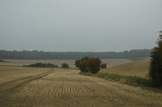
Limekiln Wood is a picturesque forest located in the county of Wiltshire, England. Covering an area of approximately 100 acres, this wood is known for its diverse range of tree species and tranquil atmosphere. It is situated near the village of Great Bedwyn, offering visitors a peaceful and secluded natural retreat.

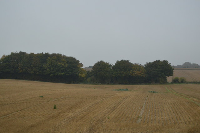
The wood is predominantly made up of broadleaf trees, including oak, beech, and ash, which provide a rich and vibrant canopy throughout the year. This mix of trees creates a varied and beautiful landscape, especially during the autumn months when the foliage turns into a stunning array of red, orange, and gold.

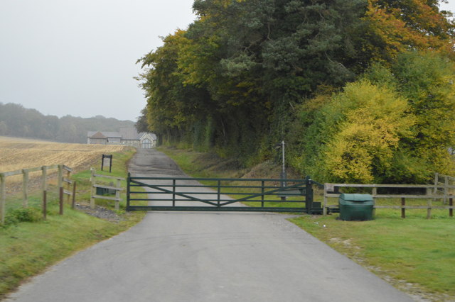
Limekiln Wood is crisscrossed by a network of well-maintained footpaths, allowing visitors to explore its natural wonders at their leisure. These paths lead to hidden clearings, bubbling streams, and ancient woodland, offering a sense of discovery and adventure to all who visit.

Wildlife enthusiasts will be delighted by the abundance of fauna that calls Limekiln Wood home. It is a haven for birds, with species such as woodpeckers, nuthatches, and owls frequently spotted among the trees. Additionally, the wood provides a habitat for deer, badgers, and a variety of small mammals.

This tranquil woodland is a popular destination for nature lovers, walkers, and picnickers alike. With its natural beauty, diverse wildlife, and peaceful ambiance, Limekiln Wood is a true gem in the heart of Wiltshire's countryside.

If you have any feedback on the listing, please let us know in the comments section below.

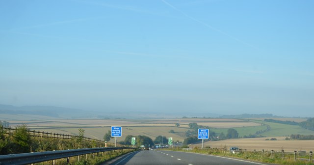
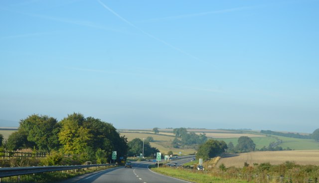
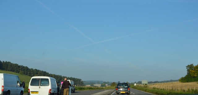
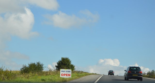
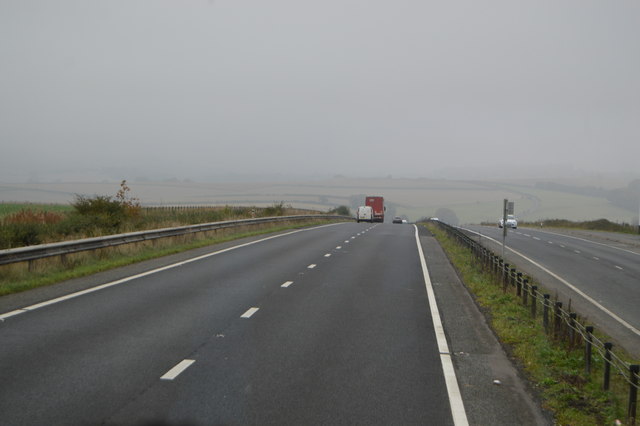
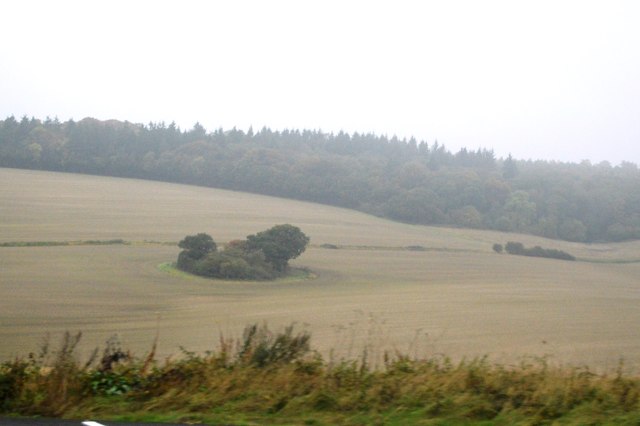
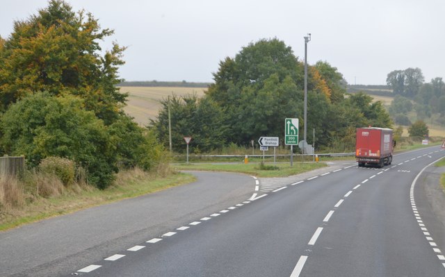
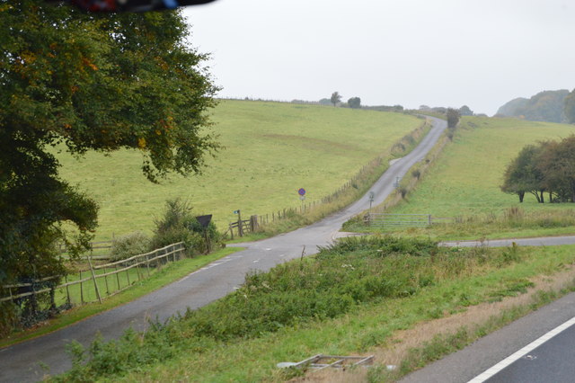
Limekiln Wood Images

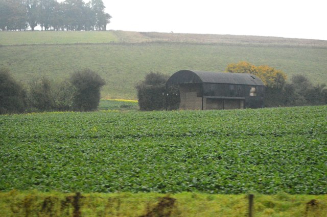
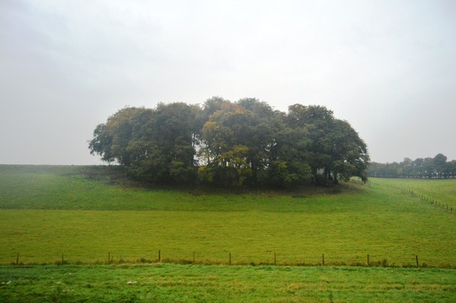
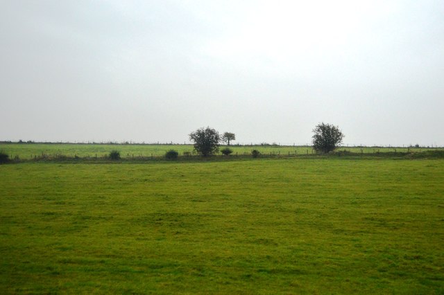
Images are sourced within 2km of 51.118972/-2.0969464 or Grid Reference ST9335. Thanks to Geograph Open Source API. All images are credited.

A303, westbound The A303 is a main trunk road running 92 miles between Basingstoke and Honiton. Along with the A30 and M3 it forms a major route between London and the South West. Much of the road is dual carriageway, but some stretches remain single and prone to congestion.

Wikipedia: <span class="nowrap"><a title="http://en.wikipedia.org/wiki/A303_road" rel="nofollow ugc noopener" href="http://en.wikipedia.org/wiki/A303_road">Link</a><img style="margin-left:2px;" alt="External link" title="External link - shift click to open in new window" src="https://s1.geograph.org.uk/img/external.png" width="10" height="10"/></span>
A303, westbound
The A303 is a main trunk road running 92 miles between Basingstoke and Honiton. Along with the A30 and M3 it forms a major route between London and the South West. Much of the road is dual carriageway, but some stretches remain single and prone to congestion. Wikipedia: LinkExternal link
A303, eastbound The A303 is a main trunk road running 92 miles between Basingstoke and Honiton. Along with the A30 and M3 it forms a major route between London and the South West. Much of the road is dual carriageway, but some stretches remain single and prone to congestion.

Wikipedia: <span class="nowrap"><a title="http://en.wikipedia.org/wiki/A303_road" rel="nofollow ugc noopener" href="http://en.wikipedia.org/wiki/A303_road">Link</a><img style="margin-left:2px;" alt="External link" title="External link - shift click to open in new window" src="https://s1.geograph.org.uk/img/external.png" width="10" height="10"/></span>
A303, eastbound
The A303 is a main trunk road running 92 miles between Basingstoke and Honiton. Along with the A30 and M3 it forms a major route between London and the South West. Much of the road is dual carriageway, but some stretches remain single and prone to congestion. Wikipedia: LinkExternal link
A303, westbound The A303 is a main trunk road running 92 miles between Basingstoke and Honiton. Along with the A30 and M3 it forms a major route between London and the South West. Much of the road is dual carriageway, but some stretches remain single and prone to congestion.

Wikipedia: <span class="nowrap"><a title="http://en.wikipedia.org/wiki/A303_road" rel="nofollow ugc noopener" href="http://en.wikipedia.org/wiki/A303_road">Link</a><img style="margin-left:2px;" alt="External link" title="External link - shift click to open in new window" src="https://s1.geograph.org.uk/img/external.png" width="10" height="10"/></span>
A303, westbound
The A303 is a main trunk road running 92 miles between Basingstoke and Honiton. Along with the A30 and M3 it forms a major route between London and the South West. Much of the road is dual carriageway, but some stretches remain single and prone to congestion. Wikipedia: LinkExternal link
Fonthill Down
Fonthill Down
Junction to Fonthill Bishop, A303 The A303 is a main trunk road running 92 miles between Basingstoke and Honiton. Along with the A30 and M3 it forms a major route between London and the South West. Much of the road is dual carriageway, but some stretches remain single and prone to congestion.

Wikipedia: <span class="nowrap"><a title="http://en.wikipedia.org/wiki/A303_road" rel="nofollow ugc noopener" href="http://en.wikipedia.org/wiki/A303_road">Link</a><img style="margin-left:2px;" alt="External link" title="External link - shift click to open in new window" src="https://s1.geograph.org.uk/img/external.png" width="10" height="10"/></span>
Junction to Fonthill Bishop, A303
The A303 is a main trunk road running 92 miles between Basingstoke and Honiton. Along with the A30 and M3 it forms a major route between London and the South West. Much of the road is dual carriageway, but some stretches remain single and prone to congestion. Wikipedia: LinkExternal link
Road off the A303
Road off the A303
Farmland by the A303
Track to Bake Barn
Track to Bake Barn
Trees by Chicklade Dairy
By the A303
By the A303
Road kill, road to Fonthill Bishop March madness over, this hare has had it, in a strangely unsquashed way.
Road kill, road to Fonthill Bishop
March madness over, this hare has had it, in a strangely unsquashed way.
Barn, Berwick Down
Barn, Berwick Down
Cold Berwick Hill
Cold Berwick Hill
Berwick Down
Berwick Down
Woodland south of the A303
Chicklade Bottom
Chicklade Bottom
Show me another place!

Limekiln Wood is located at Grid Ref: ST9335 (Lat: 51.118972, Lng: -2.0969464)

Unitary Authority: Wiltshire

Police Authority: Wiltshire

What 3 Words

///stiffly.diplomats.sketch. Near Chicklade, Wiltshire

Nearby Locations

Limekiln Wood

Related Wikis

Great Ridge Wood

Great Ridge Wood, formerly also known as Chicklade Wood, is one of the largest woodlands in southern Wiltshire, England. Mostly within the parishes of...

Chicklade

Chicklade is a small village and civil parish in Wiltshire, South West England. The village is on the A303 road, about 7 miles (11 km) south of Warminster...

Berwick St Leonard

Berwick St Leonard is a small village and civil parish in Wiltshire, England, about 8 miles (13 km) southeast of Warminster and 14 miles (23 km) west of...

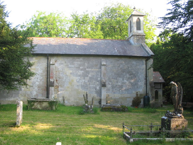
St Leonard's Church, Berwick St Leonard

St Leonard's Church in Berwick St Leonard, Wiltshire, England, was built in the 12th century. It is recorded in the National Heritage List for England...

Have you been to Limekiln Wood?

Leave your review of Limekiln Wood below (or comments, questions and feedback).