Steelhall Wood

Wood, Forest in Northumberland

England

Steelhall Wood

Byway into Slaley Forest Slaley forest and the surrounding moors seem to be home to an unusual density of both bridleways and byways. Southeast of Viewley on the edge of the plantations, is a crossroads of byways, though the one heading to the south behind the photographer is limited to only two-wheeled motor vehicles, and even then, only in the drier summer months. To the north, the planting is now mature, and not the usual densely packed Sitka Spruce, but more widely spaced pines which certainly provide more opportunities for native wildlife as well as being of far greater amenity value for those who prefer open forest.
Byway into Slaley Forest Credit: Andy Waddington

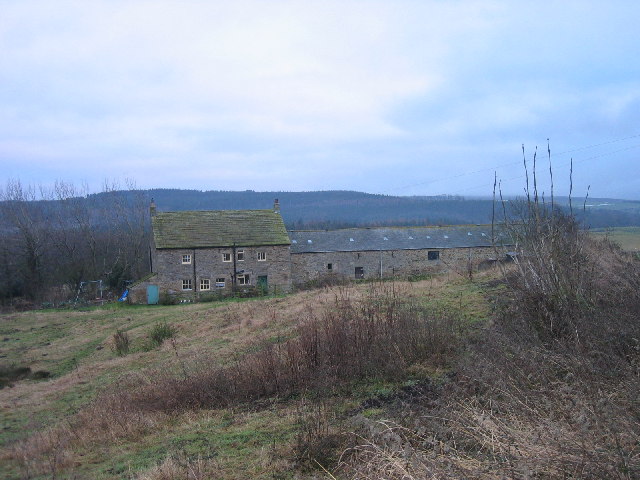
Steelhall Wood is a picturesque forest located in the county of Northumberland, England. Covering an area of approximately 300 acres, it is a prominent woodland that offers a serene escape from the hustle and bustle of urban life. The wood is situated near the village of Steel, about 10 miles west of Hexham.

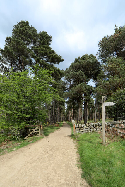
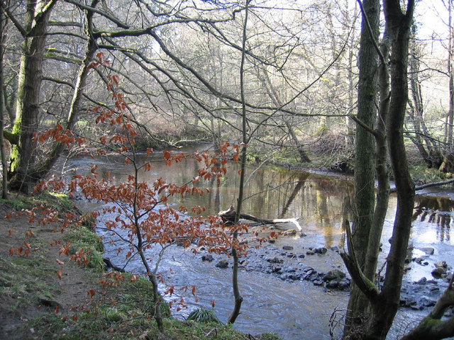
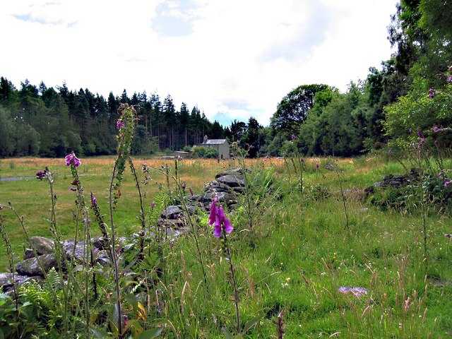
The wood is primarily composed of native broadleaf trees, including oak, ash, and beech. These majestic trees create a dense canopy that filters sunlight, casting beautiful dappled shadows on the forest floor. The undergrowth is abundant with ferns, bluebells, and wild garlic, adding to the woodland's natural charm.

Steelhall Wood is a haven for wildlife enthusiasts, as it is home to a diverse range of animals and birds. Visitors may spot red squirrels, roe deer, and various species of songbirds fluttering among the trees. The forest also provides an important habitat for woodland birds such as woodpeckers and owls.

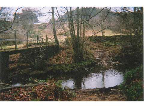
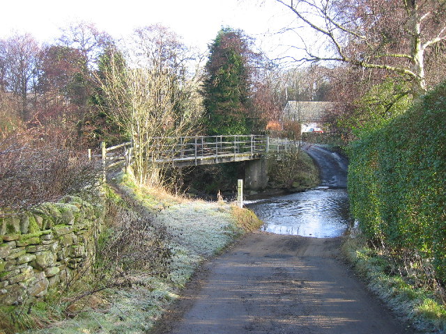
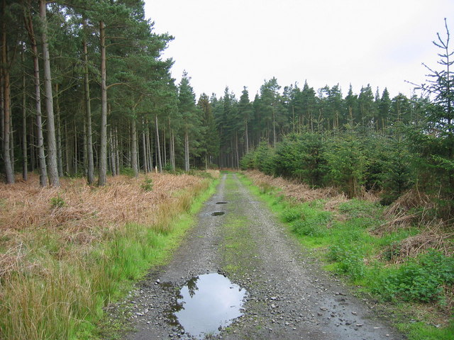
The wood offers several walking trails that wind through its peaceful surroundings, allowing visitors to explore its beauty at their own pace. These well-maintained paths lead to hidden glades, babbling brooks, and small ponds, offering opportunities for quiet contemplation and wildlife observation.

Throughout the year, Steelhall Wood undergoes a stunning transformation as the seasons change. In spring, the forest bursts into life, with vibrant blossoms and fresh green foliage. Summer brings a lush and verdant landscape, while autumn paints the wood in a tapestry of fiery reds, oranges, and yellows. Even in winter, the wood holds a certain charm, with frost-covered branches and the occasional blanket of snow.

Overall, Steelhall Wood is a tranquil retreat that showcases the natural beauty of Northumberland. Its diverse flora and fauna, coupled with its scenic trails, make it an ideal destination for nature lovers and those seeking solace in the great outdoors.

If you have any feedback on the listing, please let us know in the comments section below.

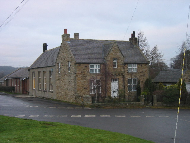
Steelhall Wood Images

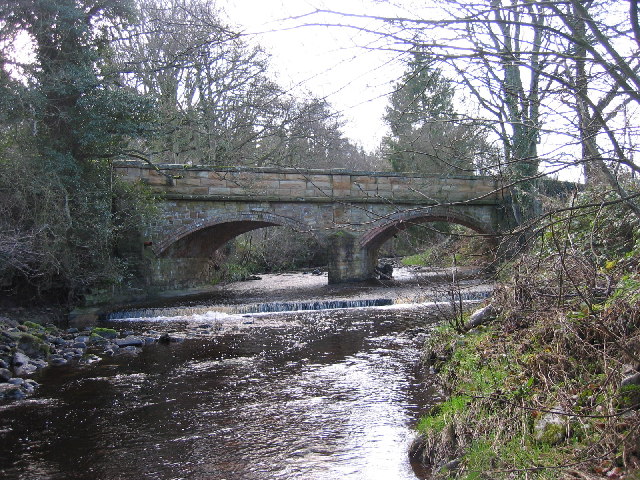
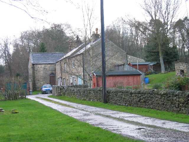
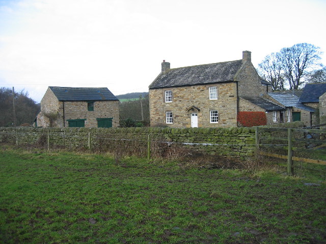
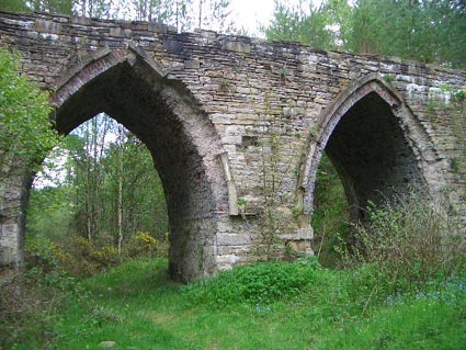
Images are sourced within 2km of 54.909574/-2.105874 or Grid Reference NY9357. Thanks to Geograph Open Source API. All images are credited.

Byway into Slaley Forest Slaley forest and the surrounding moors seem to be home to an unusual density of both bridleways and byways. Southeast of Viewley on the edge of the plantations, is a crossroads of byways, though the one heading to the south behind the photographer is limited to only two-wheeled motor vehicles, and even then, only in the drier summer months. To the north, the planting is now mature, and not the usual densely packed Sitka Spruce, but more widely spaced pines which certainly provide more opportunities for native wildlife as well as being of far greater amenity value for those who prefer open forest.
Byway into Slaley Forest
Slaley forest and the surrounding moors seem to be home to an unusual density of both bridleways and byways. Southeast of Viewley on the edge of the plantations, is a crossroads of byways, though the one heading to the south behind the photographer is limited to only two-wheeled motor vehicles, and even then, only in the drier summer months. To the north, the planting is now mature, and not the usual densely packed Sitka Spruce, but more widely spaced pines which certainly provide more opportunities for native wildlife as well as being of far greater amenity value for those who prefer open forest.
Floral bicycle in a garden at Whitley Chapel
East Lightside High level farmland for these parts, the trig is at 246m.
East Lightside
High level farmland for these parts, the trig is at 246m.
Irish bridge, Devil's Water This Irish bridge (culverted ford) takes the road over Devil's Water, near Renny's Barn. Will acquire proper ford status after heavy rainfall.
Irish bridge, Devil's Water
This Irish bridge (culverted ford) takes the road over Devil's Water, near Renny's Barn. Will acquire proper ford status after heavy rainfall.
Ford, Devil's Water, Rawgreen There are two fords in quick succession on this rough lane. This is the deeper one, through Devil's Water.
Ford, Devil's Water, Rawgreen
There are two fords in quick succession on this rough lane. This is the deeper one, through Devil's Water.
Ford at Whitley Mill Ford and footbridge over the Rowley Burn at Whitley Mill
Ford at Whitley Mill
Ford and footbridge over the Rowley Burn at Whitley Mill
Mire House near Whitley Chapel
Old School and School House, Whitley Chapel
Dye House Bridge
Dye House Bridge
Dye House Cottages and former Methodist chapel Dye House Methodist Chapel can be seen in the background.  The Chapel is dated 1865 and built in the Georgian style (Pevsner).  Cottages dated 1725 and are an early example of the two-storey three bay farmhouse type (Pevsner).
Dye House Cottages and former Methodist chapel
Dye House Methodist Chapel can be seen in the background. The Chapel is dated 1865 and built in the Georgian style (Pevsner). Cottages dated 1725 and are an early example of the two-storey three bay farmhouse type (Pevsner).
Mollersteads A late 18th century house, altered in the early 19th century. This is a Grade II Listed Building protected by law.
<span class="nowrap"><a title="http://www.keystothepast.info/durhamcc/K2P.nsf/K2PDetail?readform&PRN=N23658" rel="nofollow ugc noopener" href="http://www.keystothepast.info/durhamcc/K2P.nsf/K2PDetail?readform&PRN=N23658">Link</a><img style="margin-left:2px;" alt="External link" title="External link - shift click to open in new window" src="https://s1.geograph.org.uk/img/external.png" width="10" height="10"/></span>
Mollersteads
A late 18th century house, altered in the early 19th century. This is a Grade II Listed Building protected by law. LinkExternal link
Dukesfield Smelt Mill, Hexhamshire An old smelt mill stood to the southwest of Dukesfield Mill bridge. It was built in the late 18th century. The ore came from the lead mines owned by Beaumont family in Allendale. The site was demolished in 1836, and now there is nothing to be seen here apart from the gothic arches of the flue.
Dukesfield Smelt Mill, Hexhamshire
An old smelt mill stood to the southwest of Dukesfield Mill bridge. It was built in the late 18th century. The ore came from the lead mines owned by Beaumont family in Allendale. The site was demolished in 1836, and now there is nothing to be seen here apart from the gothic arches of the flue.
The Devil's Water Picture taken just upstream from the ford and footbridge near Peth Foot
The Devil's Water
Picture taken just upstream from the ford and footbridge near Peth Foot
Redlead Mill, near Whitley Chapel
Ford at Dye House, near Juniper
Viewley Farm
Viewley Farm
Fell Plantation
Fell Plantation
Daffodils at Mollersteads
Show me another place!

Steelhall Wood is located at Grid Ref: NY9357 (Lat: 54.909574, Lng: -2.105874)

Unitary Authority: Northumberland

Police Authority: Northumbria

What 3 Words

///providing.rides.heads. Near Slaley, Northumberland

Related Wikis

Hexhamshire

Hexhamshire is a civil parish in Northern England. It was incorporated into Northumberland in 1572. == History == Hexhamshire was originally a single parish...

Whitley Chapel

Whitley Chapel is a village in Northumberland, England about 4 miles (6 km) south of Hexham, and in the parish of Hexhamshire. == Governance == Whitley...

Juniper, Northumberland

Juniper is a hamlet in the English county of Northumberland. It is about 5 miles (8 km) due south of Hexham in the area known as Hexhamshire. There is...

Hexhamshire Low Quarter

Hexhamshire Low Quarter is a former civil parish, now in the parish of Hexhamshire, in Northumberland, England. It was situated to the south of Hexham...

Have you been to Steelhall Wood?

Leave your review of Steelhall Wood below (or comments, questions and feedback).