Quanley Grove

Wood, Forest in Gloucestershire Stroud

England

Quanley Grove

Woodland north of railway line Dense woodland adorns the hills to the north of the Severn and Thames Canal. Bristley Hill Wood and (to the right) Tanner's Wood are located here.
Woodland north of railway line Credit: Clint Mann

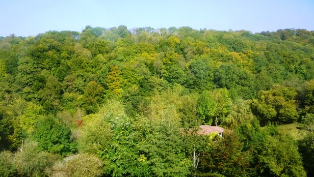
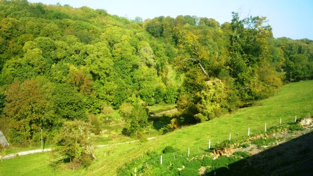
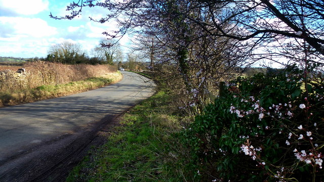
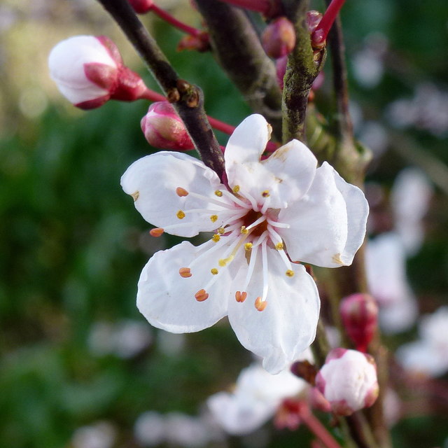
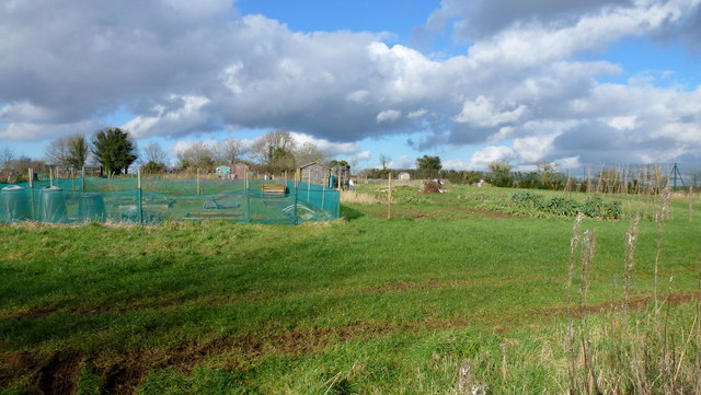
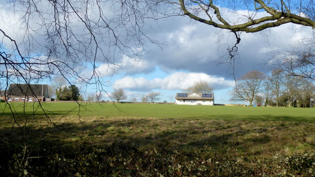
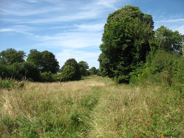
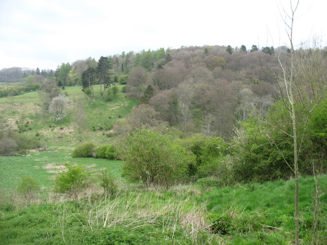
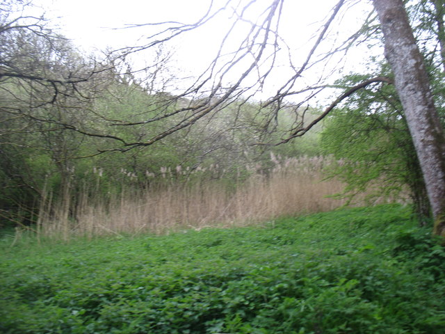
Quanley Grove is a picturesque woodland located in Gloucestershire, England. Situated in the heart of the Forest of Dean, this beautiful area is known for its tranquil ambiance and stunning natural scenery. The grove is nestled amidst tall, ancient trees and lush vegetation, creating a serene and idyllic atmosphere for visitors to enjoy.

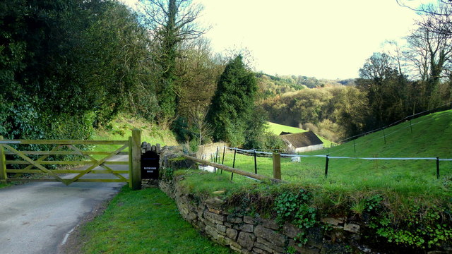
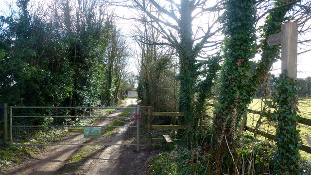
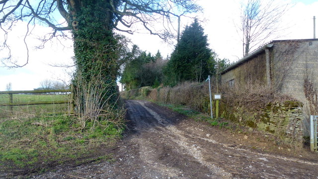
Covering an expanse of approximately 50 acres, Quanley Grove offers a wide range of activities for nature enthusiasts and outdoor lovers. The woodland is crisscrossed by numerous walking trails, providing opportunities for leisurely strolls and invigorating hikes. These paths wind through the dense forest, revealing breathtaking views of the surrounding landscape and allowing visitors to immerse themselves in the beauty of nature.

The grove is home to a diverse array of wildlife, including various bird species, mammals, and insects. Birdwatchers will be delighted by the chance to spot elusive species such as woodpeckers and owls, while animal lovers may encounter foxes, deer, and rabbits during their explorations.

Quanley Grove also boasts a rich history and cultural significance. The woodland has been a cherished part of the local community for centuries, with ancient tales and legends associated with the area. The grove is often used as a venue for community events, such as outdoor concerts and art exhibitions, further enhancing its role as a hub for cultural activities.

In conclusion, Quanley Grove in Gloucestershire is a captivating woodland that offers a haven of natural beauty and tranquility. With its diverse wildlife, scenic trails, and cultural significance, it is a must-visit destination for those seeking an escape into nature.

If you have any feedback on the listing, please let us know in the comments section below.

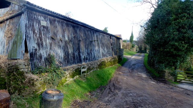
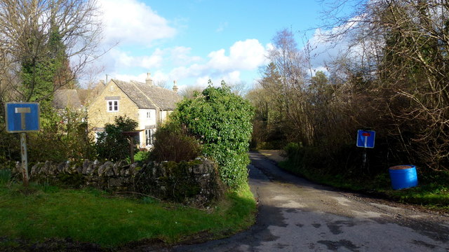
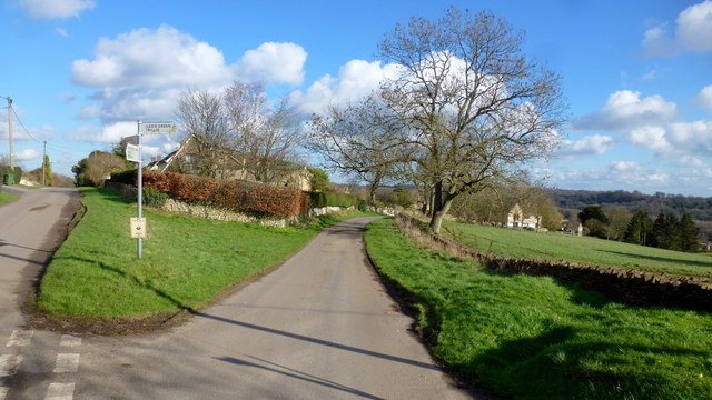
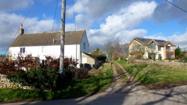
Quanley Grove Images

Images are sourced within 2km of 51.732581/-2.1008635 or Grid Reference SO9303. Thanks to Geograph Open Source API. All images are credited.

Woodland north of railway line Dense woodland adorns the hills to the north of the Severn and Thames Canal. Bristley Hill Wood and (to the right) Tanner's Wood are located here.
Woodland north of railway line
Dense woodland adorns the hills to the north of the Severn and Thames Canal. Bristley Hill Wood and (to the right) Tanner's Wood are located here.
Trackway and canal in the Golden Valley Viewed from the railway line. Tanner's Wood seen in background.
Trackway and canal in the Golden Valley
Viewed from the railway line. Tanner's Wood seen in background.
Entrance to Watercombe House Set in a secluded Cotswold valley.
Entrance to Watercombe House
Set in a secluded Cotswold valley.
Private drive, public path The path cuts through to Hyde's Bottom from Limekiln Lane.
Private drive, public path
The path cuts through to Hyde's Bottom from Limekiln Lane.
Lane to Waterlane The shrub with pinky white flowers is a Viburnun sp, possibly V lantana, Wayfaring Tree.
Lane to Waterlane
The shrub with pinky white flowers is a Viburnun sp, possibly V lantana, Wayfaring Tree.
Viburnum lantana by Limekiln Lane Detail of the shrub seen in context in <a href="https://www.geograph.org.uk/photo/5013388">SO9104 : Lane to Waterlane</a>.
Viburnum lantana by Limekiln Lane
Detail of the shrub seen in context in SO9104 : Lane to Waterlane.
Track and footpath Limbricks farm to the right; the footpath heads north to Battlescombe.
Track and footpath
Limbricks farm to the right; the footpath heads north to Battlescombe.
Limbrick's Farm Large Cotswolds farm to the north of Waterlane.
Limbrick's Farm
Large Cotswolds farm to the north of Waterlane.
Track to Rookwoods Limbrick's farm to the left.
Track to Rookwoods
Limbrick's farm to the left.
Dead end lane at Waterlane One of six lanes to radiate out from the junction at the centre of this Cotswolds hamlet.
Dead end lane at Waterlane
One of six lanes to radiate out from the junction at the centre of this Cotswolds hamlet.
Far Oakridge, 1 Cotswolds hamlet on the hillside above the Frome valley.
Far Oakridge, 1
Cotswolds hamlet on the hillside above the Frome valley.
Far Oakridge, 2 This track and bridleway leads north to Waterlane.
Far Oakridge is a Cotswolds hamlet on the hillside above the Frome valley.
Far Oakridge, 2
This track and bridleway leads north to Waterlane. Far Oakridge is a Cotswolds hamlet on the hillside above the Frome valley.
Allotments, Oakridge Look like nice sized plots here.
Allotments, Oakridge
Look like nice sized plots here.
Oakridge recreation ground Facility on the east side of the village.
Oakridge recreation ground
Facility on the east side of the village.
Oakridge A hilltop village that looks as though there is very little planning.
Oakridge
A hilltop village that looks as though there is very little planning.
Bridleway near Sapperton Judging by the height and thickness of the grass, this does not seem to be well used. Perhaps not surprising, as it doesn't lead easily to anywhere in particular.  It is on the Bathurst Estate.
Bridleway near Sapperton
Judging by the height and thickness of the grass, this does not seem to be well used. Perhaps not surprising, as it doesn't lead easily to anywhere in particular. It is on the Bathurst Estate.
Dorvel Wood Seen from the path between Sapperton and Daneway, across the Frome valley.
Dorvel Wood
Seen from the path between Sapperton and Daneway, across the Frome valley.
This was the Thames and Severn Canal
Show me another place!

Quanley Grove is located at Grid Ref: SO9303 (Lat: 51.732581, Lng: -2.1008635)

Administrative County: Gloucestershire

District: Stroud

Police Authority: Gloucestershire

What 3 Words

///confining.barefoot.riverbank. Near Chalford, Gloucestershire

Related Wikis

Sapperton Valley

Sapperton Valley (grid reference SO935035) is a 3.7-hectare (9.1-acre) nature reserve near Chalford in the Stroud district of Gloucestershire, England...

Siccaridge Wood

Siccaridge Wood (grid reference SO935035) is a 26.6-hectare (66-acre) nature reserve in Gloucestershire. The site is listed in the ‘Stroud District’ Local...

Daneway Banks SSSI

Daneway Banks (grid reference SO937034) is a 17-hectare (42-acre) biological Site of Special Scientific Interest in Gloucestershire, notified in 1954 and...

Daneway House

Daneway House is a grade I listed house in the parish of Bisley-with-Lypiatt but close to Sapperton in Gloucestershire, England.The house was built in...

Sapperton Railway Tunnel

The Sapperton Railway Tunnel is a railway tunnel near Sapperton, Gloucestershire in the United Kingdom. It carries the Golden Valley Line from Stroud to...

Oakridge, Gloucestershire

Oakridge is a village in Gloucestershire, England. The parish church is St. Bartholomew's Church. It is just on the outskirts of Stroud, Gloucestershire...

Frampton Mansell

Frampton Mansell is a small English village 5 miles (8 km) east-south-east of Stroud, Gloucestershire, in the parish of Sapperton. It lies off the A419...

St Kenelm's Church, Sapperton, Gloucestershire

St Kenelm's Church is a historic church in Sapperton, Gloucestershire in the care of The Churches Conservation Trust. It is listed Grade I on the National...

Nearby Amenities

Located within 500m of 51.732581,-2.1008635
Far Oakridge
Is In: Gloucestershire, England, UK
Place: hamlet
Source: NPE
Lat/Long: 51.7329434/-2.1075812
Bench
Lat/Long: 51.7293091/-2.0973822
The data included in this document is from www.openstreetmap.org. The data is made available under ODbL.

Have you been to Quanley Grove?

Leave your review of Quanley Grove below (or comments, questions and feedback).