Peyton's Grove
Wood, Forest in Gloucestershire Stroud
England
Peyton's Grove
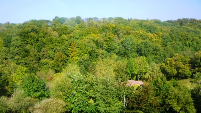
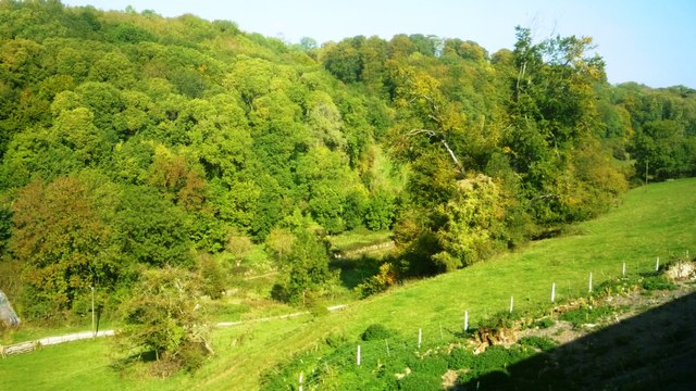
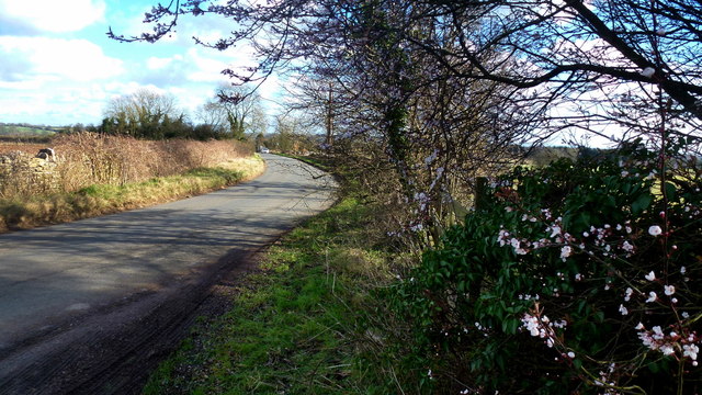
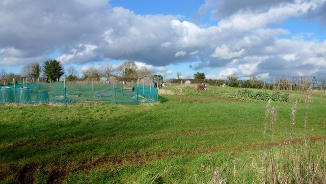
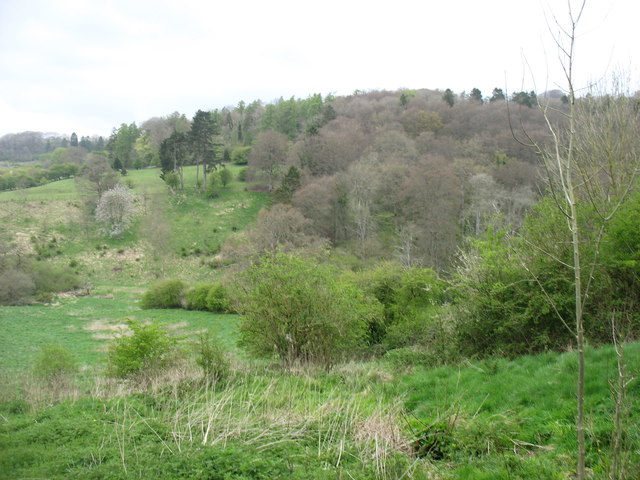
Peyton's Grove is a picturesque woodland located in the county of Gloucestershire, England. Situated in the heart of the Forest of Dean, this tranquil grove is known for its natural beauty and peaceful ambiance. Covering an area of approximately 50 acres, Peyton's Grove is a haven for nature lovers and outdoor enthusiasts alike.
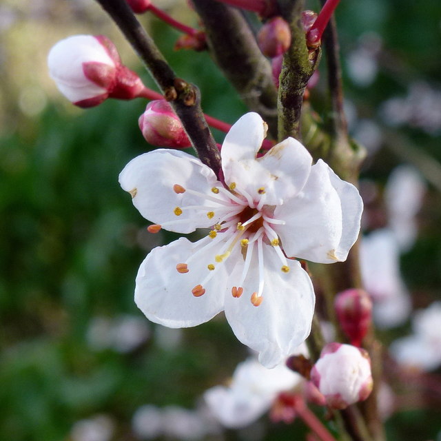
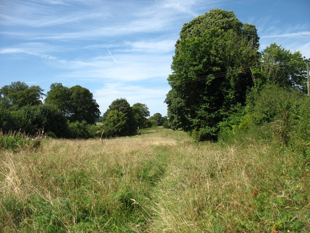
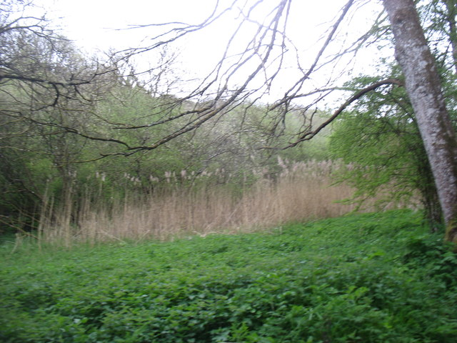
The grove is characterized by its dense canopy of towering oak and beech trees, which provide a cool respite from the summer heat and a vibrant burst of colors during the autumn months. The forest floor is adorned with a carpet of wildflowers, ferns, and moss, creating a stunning contrast against the towering trees above.
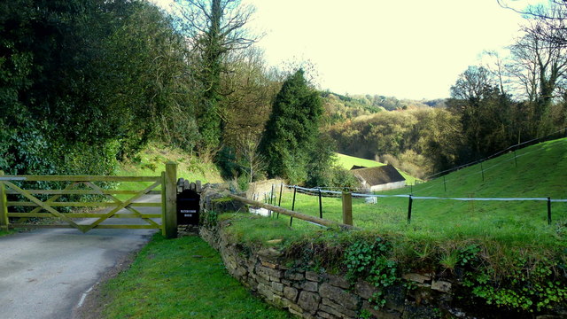
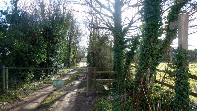
Peyton's Grove is home to a diverse range of wildlife, including deer, badgers, foxes, and a myriad of bird species. Birdwatchers can often spot rare and migratory birds nesting among the branches, while nature enthusiasts can enjoy peaceful walks along the well-maintained trails that wind through the grove.
The grove is also known for its historical significance, with remnants of ancient settlements and archaeological sites scattered throughout the area. These archaeological finds offer a glimpse into the rich history of the region, dating back thousands of years.
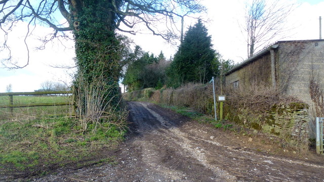
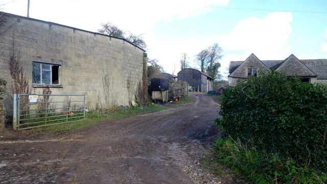
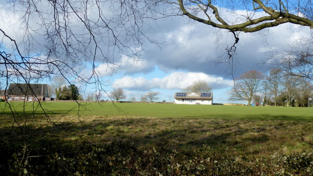
Visitors to Peyton's Grove can enjoy a range of activities, including hiking, picnicking, and wildlife spotting. The grove is easily accessible by car and public transport, with ample parking available for visitors. Whether you're seeking a peaceful retreat or an opportunity to immerse yourself in nature, Peyton's Grove is a hidden gem in the heart of Gloucestershire's woodlands.
If you have any feedback on the listing, please let us know in the comments section below.
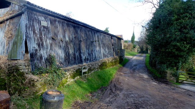
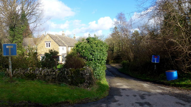
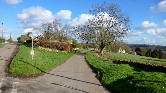
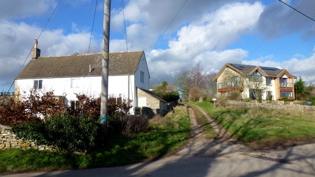
Peyton's Grove Images
Images are sourced within 2km of 51.730953/-2.1009468 or Grid Reference SO9303. Thanks to Geograph Open Source API. All images are credited.
Peyton's Grove is located at Grid Ref: SO9303 (Lat: 51.730953, Lng: -2.1009468)
Administrative County: Gloucestershire
District: Stroud
Police Authority: Gloucestershire
What 3 Words
///crumbles.opposing.tightrope. Near Chalford, Gloucestershire
Nearby Locations
Related Wikis

Sapperton Valley
Sapperton Valley (grid reference SO935035) is a 3.7-hectare (9.1-acre) nature reserve near Chalford in the Stroud district of Gloucestershire, England...

Siccaridge Wood
Siccaridge Wood (grid reference SO935035) is a 26.6-hectare (66-acre) nature reserve in Gloucestershire. The site is listed in the ‘Stroud District’ Local...

Daneway Banks SSSI
Daneway Banks (grid reference SO937034) is a 17-hectare (42-acre) biological Site of Special Scientific Interest in Gloucestershire, notified in 1954 and...

Sapperton Railway Tunnel
The Sapperton Railway Tunnel is a railway tunnel near Sapperton, Gloucestershire in the United Kingdom. It carries the Golden Valley Line from Stroud to...

Daneway House
Daneway House is a grade I listed house in the parish of Bisley-with-Lypiatt but close to Sapperton in Gloucestershire, England.The house was built in...

Oakridge, Gloucestershire
Oakridge is a village in Gloucestershire, England. The parish church is St. Bartholomew's Church. It is just on the outskirts of Stroud, Gloucestershire...

Frampton Mansell
Frampton Mansell is a small English village 5 miles (8 km) east-south-east of Stroud, Gloucestershire, in the parish of Sapperton. It lies off the A419...

St Kenelm's Church, Sapperton, Gloucestershire
St Kenelm's Church is a historic church in Sapperton, Gloucestershire in the care of The Churches Conservation Trust. It is listed Grade I on the National...
Related Videos

A Morning Walk Under a Grey Blanket of Cloud | COTSWOLDS
So, today we are out and about walking in the Cotswold Hamlet of Far Oakridge, which is one of five hamlets derived from the ...


A Channel Update from the #Cotswolds || Sapperton and Daneway Circular Walk #circularwalk
Despite the lack of open views, this is a walk of great variety and historic interest. The final part of the walk follows the course of ...
Nearby Amenities
Located within 500m of 51.730953,-2.1009468Have you been to Peyton's Grove?
Leave your review of Peyton's Grove below (or comments, questions and feedback).