Holly Wood

Wood, Forest in Staffordshire Stafford

England

Holly Wood

Aston by Stone Level Crossing New Year's Day and there is very little traffic about. The level crossing is used by trains between London and Manchester on the line between Colwich and Stone, avoiding Stafford.
Aston by Stone Level Crossing Credit: Stephen McKay

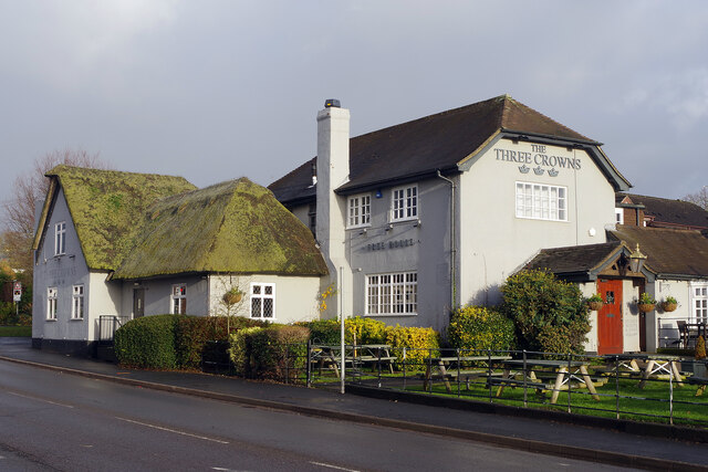
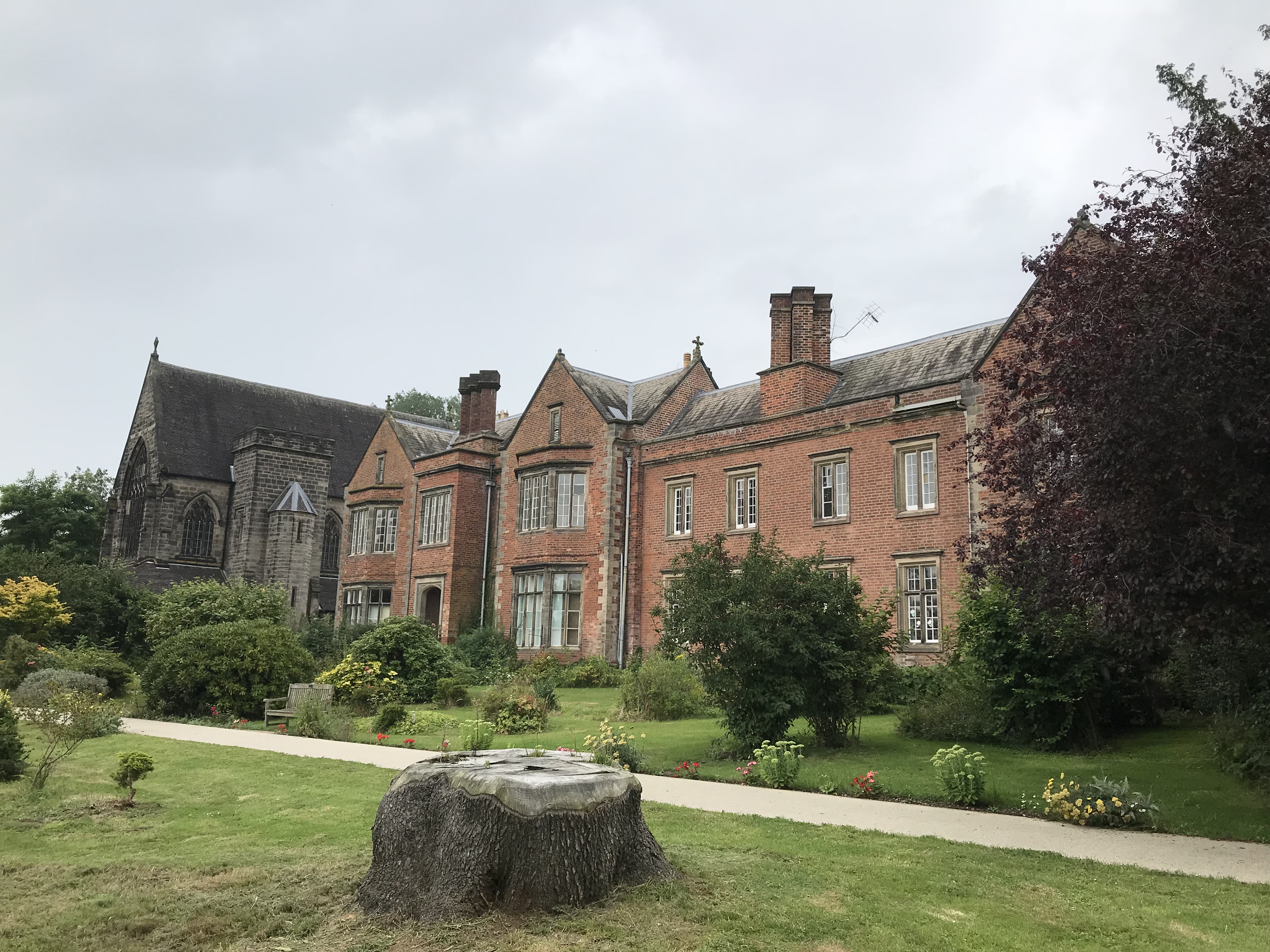
Holly Wood is a small village located in the county of Staffordshire, England. It is situated in the district of Cannock Chase, known for its picturesque landscapes and rich natural heritage. The village derives its name from the abundant holly trees that populate the area, giving it a distinct charm and a sense of tranquility.

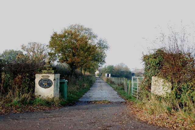
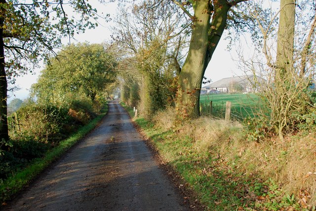
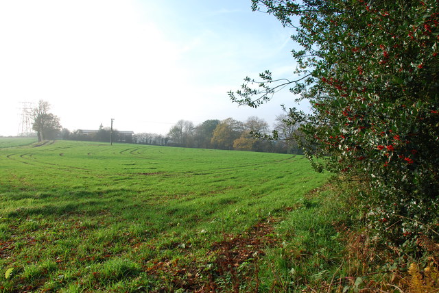
Holly Wood is surrounded by dense forests and woodlands, making it an ideal destination for nature enthusiasts and outdoor lovers. The Cannock Chase Area of Outstanding Natural Beauty is within close proximity, providing ample opportunities for walking, hiking, and wildlife spotting. The woodlands are home to a variety of flora and fauna, including deer, foxes, and numerous bird species.

The village itself is small and tight-knit, with a close community spirit. It is characterized by traditional stone cottages and a peaceful atmosphere. The local residents take great pride in their village and actively participate in community events and initiatives.

While Holly Wood may be a quiet village, it benefits from its close proximity to larger towns and cities. Stafford and Cannock are just a short drive away, offering a wide range of amenities, including shopping centers, restaurants, and entertainment options.

Overall, Holly Wood, Staffordshire, is a charming village nestled within a beautiful natural setting. Its peaceful surroundings, community spirit, and access to nearby amenities make it an attractive place to live or visit for those seeking a tranquil escape from the hustle and bustle of city life.

If you have any feedback on the listing, please let us know in the comments section below.

Holly Wood Images

Images are sourced within 2km of 52.901845/-2.1036089 or Grid Reference SJ9333. Thanks to Geograph Open Source API. All images are credited.

Aston by Stone Level Crossing New Year's Day and there is very little traffic about. The level crossing is used by trains between London and Manchester on the line between Colwich and Stone, avoiding Stafford.
Aston by Stone Level Crossing
New Year's Day and there is very little traffic about. The level crossing is used by trains between London and Manchester on the line between Colwich and Stone, avoiding Stafford.
Lichfield Road, Little Stoke Little Stoke is a rather straggly suburb of Stone that stretches along the old A51, now the B5027.
Lichfield Road, Little Stoke
Little Stoke is a rather straggly suburb of Stone that stretches along the old A51, now the B5027.
The Three Crowns, Little Stoke This thatched pub on Lichfield Road is a former coaching inn and is now part of the Vintage Inns chain. Internally the emphasis is very much on food although there is room for those who just want a drink.
The Three Crowns, Little Stoke
This thatched pub on Lichfield Road is a former coaching inn and is now part of the Vintage Inns chain. Internally the emphasis is very much on food although there is room for those who just want a drink.
Hedgerow
Hedgerow
Farmland east of Little Stoke Morning sunshine in late October illuminates the rolling countryside of the district around Stone.
Farmland east of Little Stoke
Morning sunshine in late October illuminates the rolling countryside of the district around Stone.
Looking to Hardiwick Plantation To the right of the hedge in the distance, is a concrete container some 6 to 8 feet tall, OS map describes it as a reservoir.
Looking to Hardiwick Plantation
To the right of the hedge in the distance, is a concrete container some 6 to 8 feet tall, OS map describes it as a reservoir.
Access Track into Hardiwick Plantation
Jolpool Lane meeting the B5027 Uttoxeter Road
Driveway to Little Hardiwick Cottage, off the B5027
Lazy Fingerpost and Stile off the Whitehouse Lane
A View up Whitehouse Lane Most of the lanes around here are as narrow as this, but I must admit I enjoy driving round them.
A View up Whitehouse Lane
Most of the lanes around here are as narrow as this, but I must admit I enjoy driving round them.
A Stile near Wooliscroft This stile is part way up the bank, somebody has kindly put a post at the side to give a handhold.
A Stile near Wooliscroft
This stile is part way up the bank, somebody has kindly put a post at the side to give a handhold.
House on a Hillside near Wooliscroft This house is in a superb location, with views across the valley, but in the middle of winter it must be difficult, with steep roads on either side of the valley, a little bit of snow and they would be cut off. I bet the gritters don't come down here.
House on a Hillside near Wooliscroft
This house is in a superb location, with views across the valley, but in the middle of winter it must be difficult, with steep roads on either side of the valley, a little bit of snow and they would be cut off. I bet the gritters don't come down here.
A Bridge and Stream in the Valley near Wooliscroft The roads that leave this bridge on either side of the valley are quite steep. Do not attempt this lane if there is ice or snow about.
A Bridge and Stream in the Valley near Wooliscroft
The roads that leave this bridge on either side of the valley are quite steep. Do not attempt this lane if there is ice or snow about.
Footpath to Hilderstone Many of the stiles in this area are about three feet above the roads.
Footpath to Hilderstone
Many of the stiles in this area are about three feet above the roads.
Home Farm at Cotwalton The buildings on the left look like barn conversions.
Home Farm at Cotwalton
The buildings on the left look like barn conversions.
Across fields in the direction of the A520 On the left is the junction point of power cables.
Across fields in the direction of the A520
On the left is the junction point of power cables.
Country Lane heading towards the A520
Show me another place!

Holly Wood is located at Grid Ref: SJ9333 (Lat: 52.901845, Lng: -2.1036089)

Administrative County: Staffordshire

District: Stafford

Police Authority: Staffordshire

What 3 Words

///morphing.deleting.coasters. Near Stone, Staffordshire

Nearby Locations

Holly Wood

Related Wikis

Aston-by-Stone railway station

Aston-by-Stone railway station is a disused railway station in the village of Aston, Staffordshire, England. == History == Opened by the North Staffordshire...

Hilderstone

Hilderstone is a village and a civil parish in the English county of Staffordshire. == Location == The village is 8.6 miles (13.8 km) north of the town...

Lichfield Road, Stone

Lichfield Road is a cricket ground in Stone, Staffordshire. The ground was established in 1948, when Staffordshire played Buckinghamshire in the grounds...

St Dominic's Priory School, Stone

St Dominic's Priory School is an independent Catholic day school in the town of Stone, Staffordshire, halfway between Stoke-on-Trent and Stafford. The...

Alleyne's Academy

Alleyne's Academy (formerly Alleyne's High School) is a coeducational secondary school and sixth form with academy status. It is located in Stone, Staffordshire...

Stone Priory

Stone Priory was a priory founded at Stone in Staffordshire, England, in about 670 AD. The priory's church was dedicated to Saint Mary and Saint Wulfad...

Moddershall

Moddershall is a small village in the borough of Stafford in the county of Staffordshire, England, part of the civil parish of Stone Rural and ecclesiastical...

Oulton Abbey

St Mary's Abbey, Oulton is a former Benedictine convent located in the village of Oulton near Stone in Staffordshire, England. The Abbey church is Grade...

Have you been to Holly Wood?

Leave your review of Holly Wood below (or comments, questions and feedback).