Croscombe

Settlement in Somerset Mendip

England

Croscombe

Ham Lane Starting a descent into the Sheppey valley as the snow holds off for a short while. On the left is Darshill Wood.
Ham Lane Credit: Derek Harper

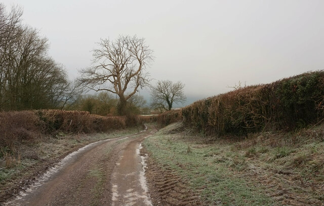
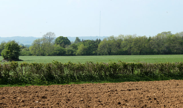
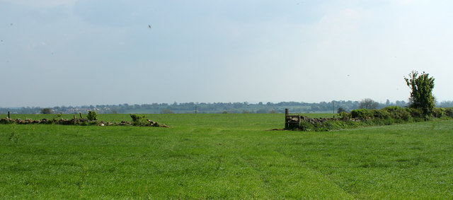
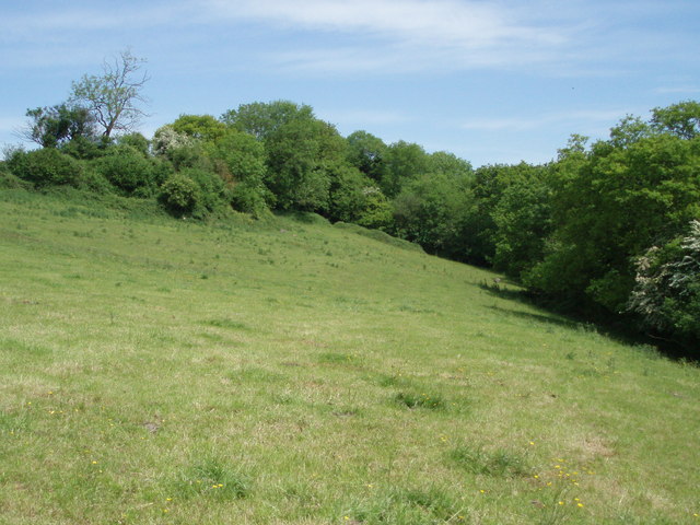
Croscombe is a small village located in the county of Somerset, England. Situated approximately 4 miles east of the city of Wells, it falls within the Mendip district. The village is nestled in a picturesque valley, surrounded by rolling hills and beautiful countryside.

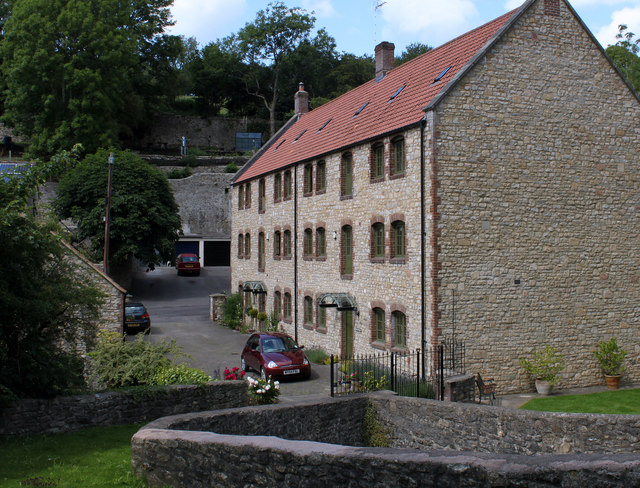
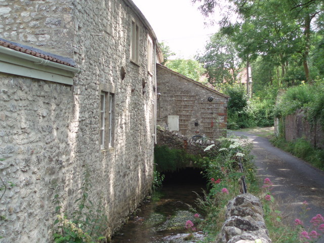
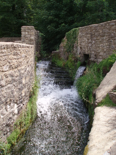
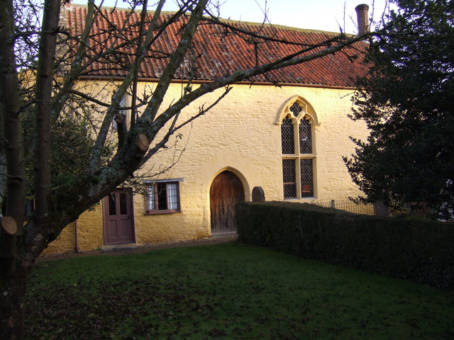
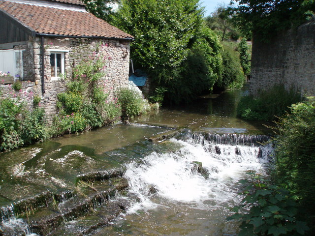
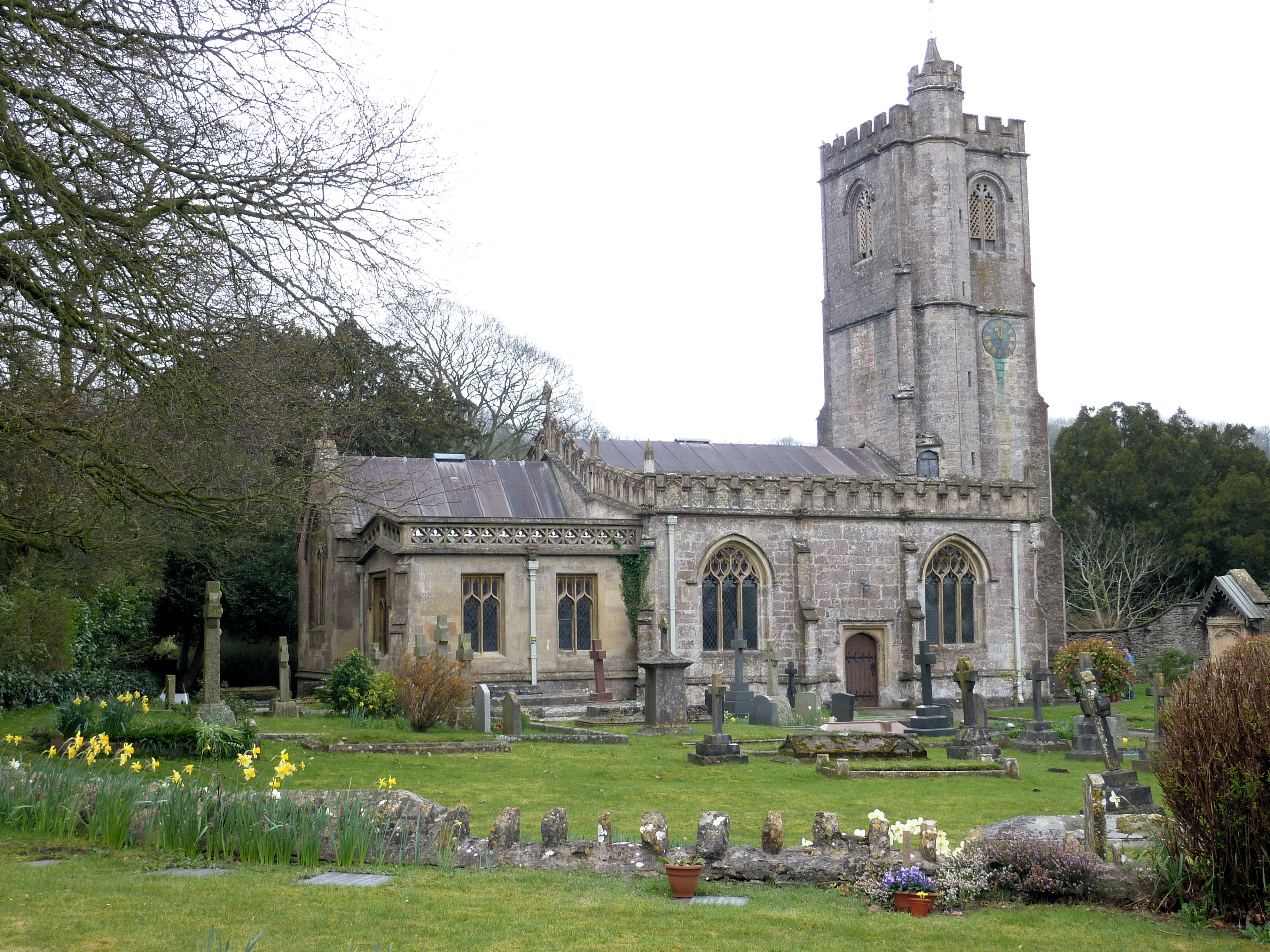
Historically, Croscombe was a significant center for the wool trade in the region. Evidence of its medieval past can still be seen in the charming architecture that lines its narrow streets. The centerpiece of the village is the St. Mary's Church, which dates back to the 13th century and features a striking tower. The church is known for its stained glass windows and intricate woodwork.

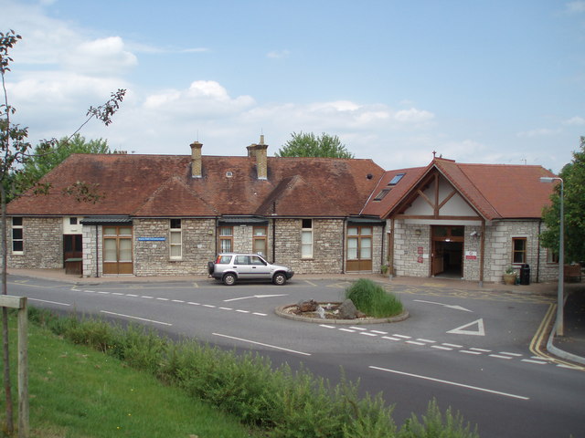
The village has a close-knit community and offers a range of amenities for its residents. These include a village shop, a pub, and a primary school. Additionally, there are various social and recreational activities organized by community groups, ensuring a vibrant and inclusive atmosphere.

Croscombe is also renowned for its annual summer fair, which attracts visitors from far and wide. The fair offers a variety of entertainment, stalls, and traditional games, providing a fun-filled day for all ages.

The surrounding countryside offers plenty of opportunities for outdoor activities, including scenic walks, cycling routes, and fishing spots. The nearby Mendip Hills provide a beautiful backdrop for exploration.

Overall, Croscombe is a charming village that seamlessly blends its rich history with a strong sense of community. It offers a peaceful and idyllic setting for residents and visitors alike.

If you have any feedback on the listing, please let us know in the comments section below.
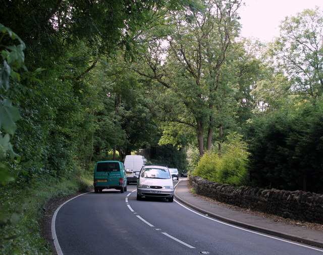
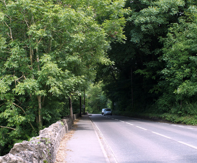
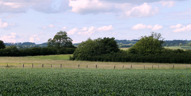
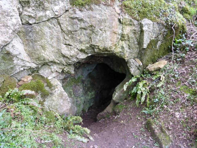
Croscombe Images

Images are sourced within 2km of 51.196451/-2.588878 or Grid Reference ST5844. Thanks to Geograph Open Source API. All images are credited.

Ham Lane Starting a descent into the Sheppey valley as the snow holds off for a short while. On the left is Darshill Wood.
Ham Lane
Starting a descent into the Sheppey valley as the snow holds off for a short while. On the left is Darshill Wood.
2011 : Thrupe, Somerset In Anglo-Saxon times a thrupe was a dairy farm. (from Wikipedia), not much has changed. <span class="nowrap"><a title="http://www.theoldmilkingparlour.co.uk/contact.html" rel="nofollow ugc noopener" href="http://www.theoldmilkingparlour.co.uk/contact.html">Link</a><img style="margin-left:2px;" alt="External link" title="External link - shift click to open in new window" src="https://s1.geograph.org.uk/img/external.png" width="10" height="10"/></span>
The limestone in this area is riddled with caves and swallets. More in <span class="nowrap"><a title="http://en.wikipedia.org/wiki/Thrupe_Lane_Swallet" rel="nofollow ugc noopener" href="http://en.wikipedia.org/wiki/Thrupe_Lane_Swallet">Link</a><img style="margin-left:2px;" alt="External link" title="External link - shift click to open in new window" src="https://s1.geograph.org.uk/img/external.png" width="10" height="10"/></span> and <span class="nowrap"><a title="http://www.absoluteastronomy.com/topics/Thrupe_Lane_Swallet" rel="nofollow ugc noopener" href="http://www.absoluteastronomy.com/topics/Thrupe_Lane_Swallet">Link</a><img style="margin-left:2px;" alt="External link" title="External link - shift click to open in new window" src="https://s1.geograph.org.uk/img/external.png" width="10" height="10"/></span> among others.
2011 : Thrupe, Somerset
In Anglo-Saxon times a thrupe was a dairy farm. (from Wikipedia), not much has changed. LinkExternal link The limestone in this area is riddled with caves and swallets. More in LinkExternal link and LinkExternal link among others.
2011 : West on Ham Lane Heading toward Croscombe.
2011 : West on Ham Lane
Heading toward Croscombe.
2011 : Plough and pasture north of Ham Lane Looking north of west, Ham Woods is beyond the pasture and beyond that, very faint, the Mendip TV Transmitter on Pen Hill north of Wells <a href="https://www.geograph.org.uk/gridref/ST5648">ST5648</a>
2011 : Plough and pasture north of Ham Lane
Looking north of west, Ham Woods is beyond the pasture and beyond that, very faint, the Mendip TV Transmitter on Pen Hill north of Wells ST5648
2011 : East on Ham Lane Skirting round Shepton Mallet to the north west.
2011 : East on Ham Lane
Skirting round Shepton Mallet to the north west.
2011 : Pastures south of Ham Lane Looking toward Shepton Mallet which is well hidden in the valley.
2011 : Pastures south of Ham Lane
Looking toward Shepton Mallet which is well hidden in the valley.
2011 : Ploughed field north of Ham Lane Likely to be maize, a bit late for anything else. Field beans perhaps.
2011 : Ploughed field north of Ham Lane
Likely to be maize, a bit late for anything else. Field beans perhaps.
2011 : Gateway into a ploughed field, Ham Lane
2011 : Darshill, west of Shepton Mallet Not sure if this is an old mill converted to residential use or a genuine new build. The walls look modern but it could be cladding on an old surface. Suspect the former, there was a silk mill on this site.
Seen from the A371.
2011 : Darshill, west of Shepton Mallet
Not sure if this is an old mill converted to residential use or a genuine new build. The walls look modern but it could be cladding on an old surface. Suspect the former, there was a silk mill on this site. Seen from the A371.
2011 : A371 passing Darshill heading west About four miles from Wells.
2011 : A371 passing Darshill heading west
About four miles from Wells.
2011 : A371 about to enter Shepton Mallet After Shepton Mallet the A371 turns south to Castle Cary.
2011 : A371 about to enter Shepton Mallet
After Shepton Mallet the A371 turns south to Castle Cary.
2011 : North from Ridge Road A field of something that looks like maize but I'm not sure, then a fence and a field which contains the remains of the GWR line which ran through Shepton Mallet and Wells.
Then there is the valley which holds the River Sheppey and conceals Shepton Mallet.
2011 : North from Ridge Road
A field of something that looks like maize but I'm not sure, then a fence and a field which contains the remains of the GWR line which ran through Shepton Mallet and Wells. Then there is the valley which holds the River Sheppey and conceals Shepton Mallet.
Nancy Camel's Hole, Darshill Wood This cave was once reputed to have been occupied by a drunken stocking-knitter called Nancy Camel. Nancy wrote herself into legend when sometime in the late 17th century or early 18th century, it is reputed that she made a pact with the Devil, and was carried off screaming to Hell during a storm that nearly destroyed the parish church.
Nancy Camel's Hole, Darshill Wood
This cave was once reputed to have been occupied by a drunken stocking-knitter called Nancy Camel. Nancy wrote herself into legend when sometime in the late 17th century or early 18th century, it is reputed that she made a pact with the Devil, and was carried off screaming to Hell during a storm that nearly destroyed the parish church.
Field on the north west side of Ham wood
Shepton Mallet Community Hospital
Darshill and the river Sheppey The river Sheppey emerging from what was once a silk mill.  The Darshill area, on the Wells road just to the west of Shepton Mallet, had many silk mills all powered by the river Sheppey.
Darshill and the river Sheppey
The river Sheppey emerging from what was once a silk mill. The Darshill area, on the Wells road just to the west of Shepton Mallet, had many silk mills all powered by the river Sheppey.
Darshill silk mills The buildings on the left are relatively modern constructions, whilst the building in the rear of the photograph is one of the original silk mill buildings.  The silk mills have now been converted into flats and houses.
Darshill silk mills
The buildings on the left are relatively modern constructions, whilst the building in the rear of the photograph is one of the original silk mill buildings. The silk mills have now been converted into flats and houses.
River Sheppey The river Sheppey tumbling down man made steps on its way towards Darshill and the silk mills which once flourished there.
River Sheppey
The river Sheppey tumbling down man made steps on its way towards Darshill and the silk mills which once flourished there.
Show me another place!

Croscombe is located at Grid Ref: ST5844 (Lat: 51.196451, Lng: -2.588878)

Administrative County: Somerset

District: Mendip

Police Authority: Avon and Somerset

What 3 Words

///casually.emulated.provoking. Near Shepton Mallet, Somerset

Related Wikis

The Old Rectory, Croscombe

The Old Rectory in the village of Croscombe within the English county of Somerset was built in the 17th century and rebuilt in the 18th. It is a Grade...

The Old Manor, Croscombe

The Old Manor in Croscombe, Somerset, England, was built around 1460–89 as a rectorial manor house for Hugh Sugar, the Treasurer of Wells Cathedral. It...

Croscombe

Croscombe is a village and civil parish 2 miles (3 km) west of Shepton Mallet and 4 miles (6 km) from Wells, in the Mendip district of Somerset, England...

Friar's Oven

Friar's Oven (grid reference ST592431) is a 4.0 hectare biological Site of Special Scientific Interest in Somerset, notified in 1989. == Sources == English...

Dinder

Dinder (which means "the house in the valley") is a small village and former civil parish, now in the parish of St Cuthbert Out, in the Somerset district...

Dinder House

Dinder House, is a Somerset estate with a small country house Grade II Regency listed building in the village of Dinder, in the civil parish of St Cuthbert...

Church of St Michael, Dinder

The Anglican Church of St Michael in Dinder, Somerset, England has Norman origins and was built in the 14th century before being rebuilt in the 15th. It...

Thrupe Lane Swallet

Thrupe Lane Swallet (grid reference ST603458) is a 0.5 hectares (1.2 acres) geological Site of Special Scientific Interest in Somerset, notified in 1992...

Nearby Amenities

Located within 500m of 51.196451,-2.588878
Croscombe
Place: village
Wikidata: Q284743
Wikipedia: en:Croscombe
Lat/Long: 51.1968123/-2.5875886
Post Office
Addr Housename: Croscombe Village Stores
Lat/Long: 51.1969123/-2.5897184
Pub
George Inn
Lat/Long: 51.1967494/-2.5886778
Hillview Cottage
Place: isolated_dwelling
Lat/Long: 51.1946097/-2.592999
Pub
The Bull Terrier
Wikidata: Q26311125
Lat/Long: 51.1969405/-2.5874895
Bus Stop
Bus: yes
Local Ref: Croscombe Bus Stop (161 to Wells)
Naptan AtcoCode: 3600SOB21303
Naptan NaptanCode: sotdgmwt
Public Transport: platform
Shelter: yes
Lat/Long: 51.1966682/-2.5890069
Bus Stop
Croscombe Bus Stop (161) to Shepton Mallet
Bus: yes
Naptan AtcoCode: 3600SOB21304
Naptan NaptanCode: sotdgpaj
Public Transport: platform
Lat/Long: 51.1967959/-2.588836
Croscombe playground
Leisure: playground
Lat/Long: 51.1982683/-2.5892437
Telephone
Defibrillator
Booth: K6
Covered: booth
Defibrillator Location: inside old red phone box, Long Street, Croscombe - opposite pub
Emergency: defibrillator
Listed Status: Grade II
Man Made: telephone_box
Lat/Long: 51.1966338/-2.5888986
Post Box
Post Box Type: lamp
Lat/Long: 51.196846/-2.5896301
The data included in this document is from www.openstreetmap.org. The data is made available under ODbL.

Have you been to Croscombe?

Leave your review of Croscombe below (or comments, questions and feedback).