Acres Wood

Wood, Forest in Yorkshire Richmondshire

England

Acres Wood

Yorkshire barns, Muker Stone barns and drystone walls are typical in this part of the dales.
Yorkshire barns, Muker Credit: Maigheach-gheal

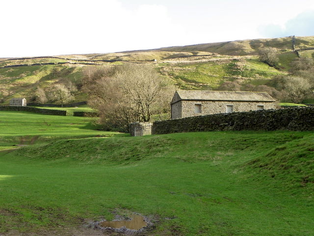
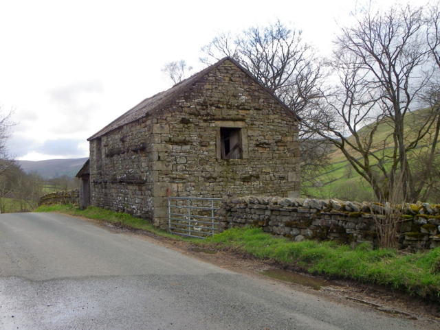
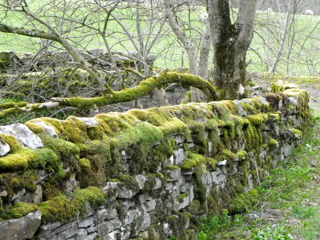
Acres Wood, located in Yorkshire, England, is a picturesque woodland area renowned for its natural beauty and tranquil atmosphere. It covers an expanse of approximately 50 acres, making it a substantial forest in the region. The wood is composed of a diverse range of tree species, including oak, beech, birch, and pine, creating a rich and vibrant ecosystem.

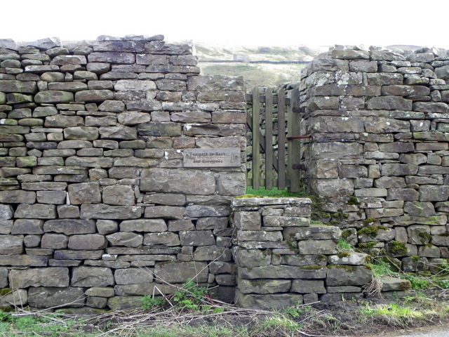
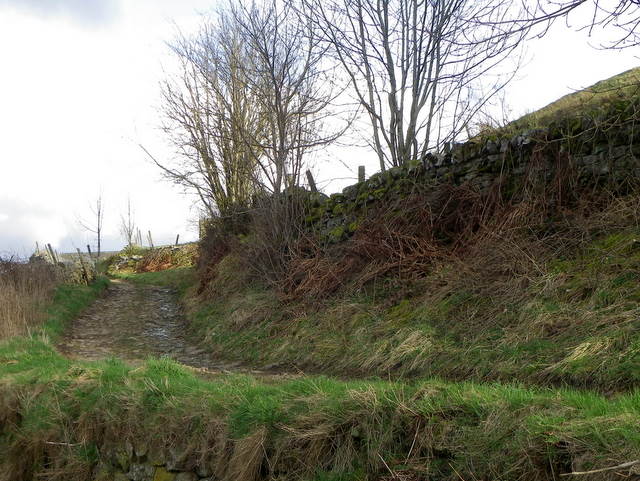
The wood features well-maintained footpaths that wind through the dense foliage, providing visitors with the opportunity to explore the area at their own pace. These paths are ideal for walking, jogging, or simply enjoying a leisurely stroll. Acres Wood also offers designated cycling trails, catering to outdoor enthusiasts of all kinds.

Wildlife thrives within the wood, with numerous species of birds, mammals, and insects calling it home. Birdwatchers will be delighted by the variety of avian species that can be spotted, including woodpeckers, owls, and various songbirds. Lucky visitors might even catch a glimpse of deer or foxes roaming through the undergrowth.

Acres Wood is a popular destination for nature lovers and offers a peaceful retreat from the hustle and bustle of city life. It attracts visitors year-round, with each season bringing its own unique charm. In spring, the wood is adorned with vibrant blooms and fresh greenery, while autumn transforms it into a sea of warm hues as the leaves change color.

Overall, Acres Wood is a magical place where visitors can immerse themselves in nature's beauty, experience a sense of tranquility, and connect with the diverse wildlife that thrives within its boundaries.

If you have any feedback on the listing, please let us know in the comments section below.
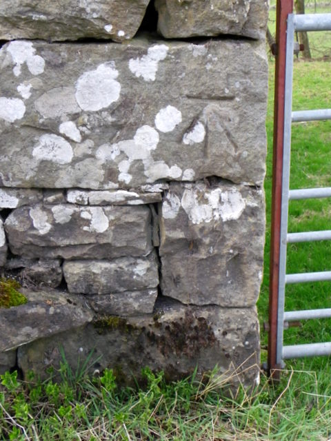
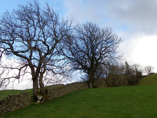
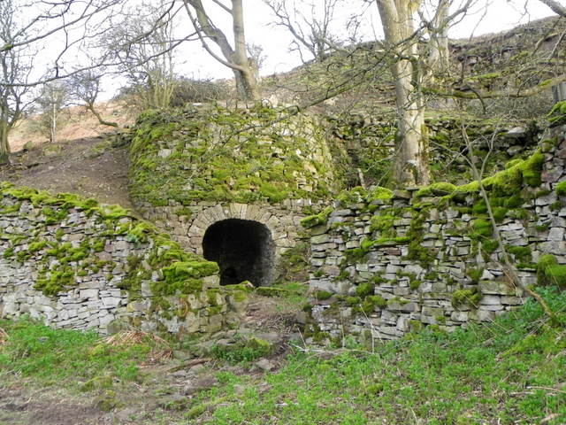
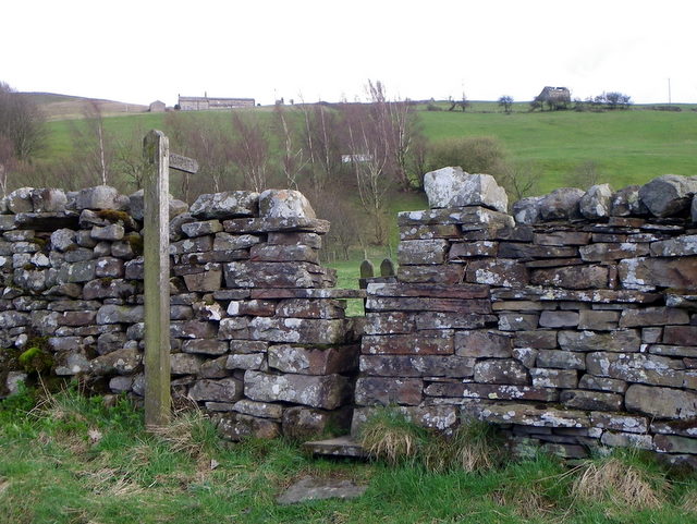
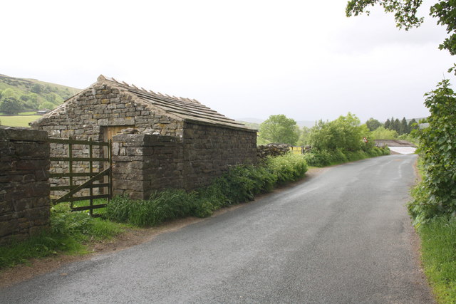
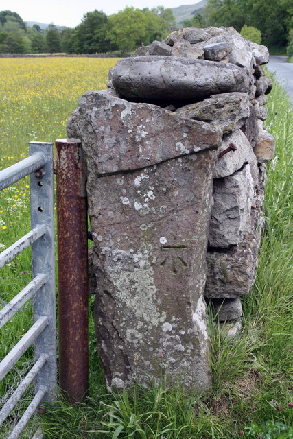
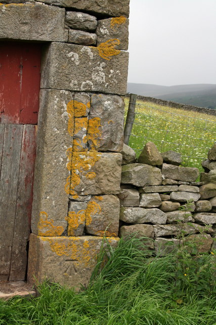
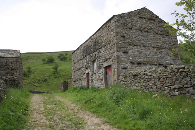
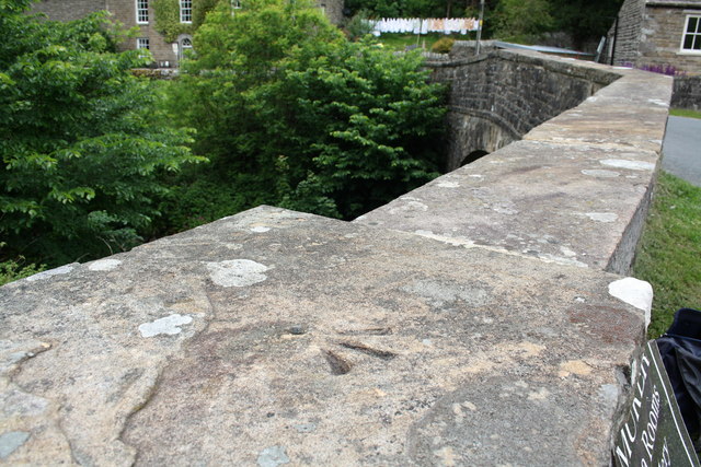
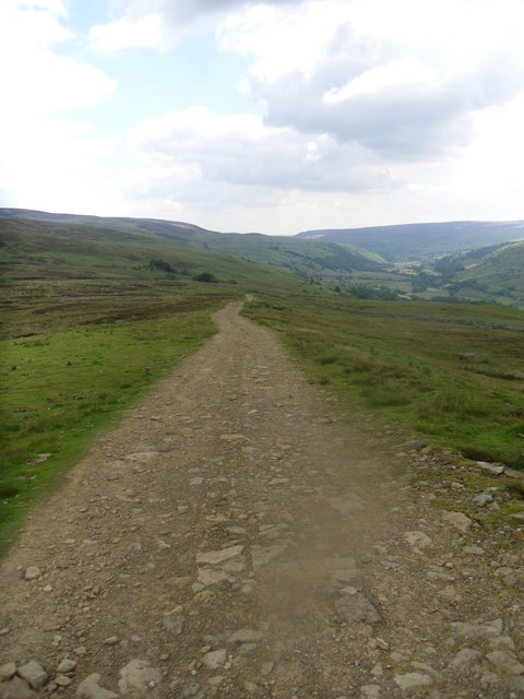
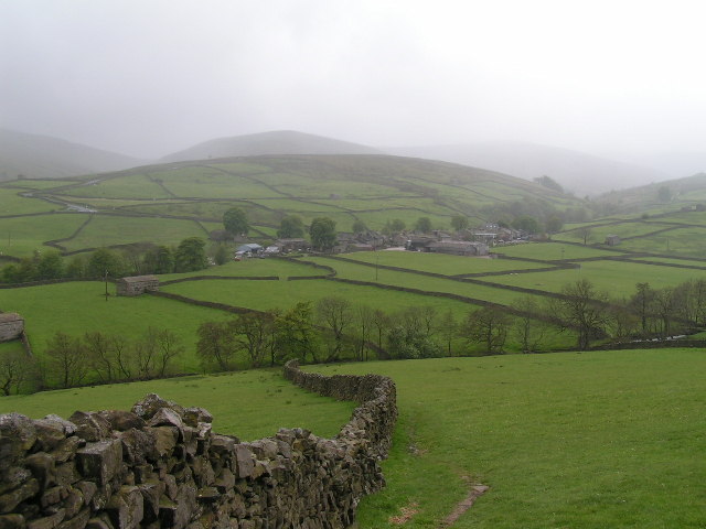
Acres Wood Images

Images are sourced within 2km of 54.374548/-2.1099234 or Grid Reference SD9297. Thanks to Geograph Open Source API. All images are credited.

Yorkshire barns, Muker Stone barns and drystone walls are typical in this part of the dales.
Yorkshire barns, Muker
Stone barns and drystone walls are typical in this part of the dales.
Stile, Muker The stile gives walkers access to the footpath that takes them to Rash.
Stile, Muker
The stile gives walkers access to the footpath that takes them to Rash.
Bridleway, Muker The bridleway takes riders and walkers from Gun Ing Lane to Thwaite.
Bridleway, Muker
The bridleway takes riders and walkers from Gun Ing Lane to Thwaite.
Barn near Muker The barn is beside the B6272.  There is an Ordnance Survey bench mark on the south east angle of the building.
Barn near Muker
The barn is beside the B6272. There is an Ordnance Survey bench mark on the south east angle of the building.
Bench Mark near Crow Trees The bench mark is on the south east angle of the barn which is on the north side of the road.  For a view of the barn <a href="https://www.geograph.org.uk/photo/2404908">SD9297 : Barn near Muker</a> and for further information on the bench mark and others in the area <span class="nowrap"><a title="http://www.bench-marks.org.uk/bm37908" rel="nofollow ugc noopener" href="http://www.bench-marks.org.uk/bm37908">Link</a><img style="margin-left:2px;" alt="External link" title="External link - shift click to open in new window" src="https://s1.geograph.org.uk/img/external.png" width="10" height="10"/></span>
Bench Mark near Crow Trees
The bench mark is on the south east angle of the barn which is on the north side of the road. For a view of the barn SD9297 : Barn near Muker and for further information on the bench mark and others in the area LinkExternal link
Drystone wall near Muker Drystone walls are built without mortar, and their stability – they can stand for 200 years – is due to the skill of the craftsmen who place rough boulders and angular stones together.

Many drystone walls were constructed as part of the enclosure of open grazing. They were especially useful in areas too exposed for hedgerows to survive and where stones were readily available.

Most drystone walls are wider at the base than at the crown, and are often capped with coping stones. A typical wall has two outer layers of large, flattish stones enclosing an inner ‘heart’ of smaller, rounder stones. Often it is reinforced with ‘through bands’ of even larger, flat stones which can also be used as stiles.

The very dryness of a wall makes it more likely to endure wind and frost and to act as shelter for livestock as well as a boundary.
Drystone wall near Muker
Drystone walls are built without mortar, and their stability – they can stand for 200 years – is due to the skill of the craftsmen who place rough boulders and angular stones together. Many drystone walls were constructed as part of the enclosure of open grazing. They were especially useful in areas too exposed for hedgerows to survive and where stones were readily available. Most drystone walls are wider at the base than at the crown, and are often capped with coping stones. A typical wall has two outer layers of large, flattish stones enclosing an inner ‘heart’ of smaller, rounder stones. Often it is reinforced with ‘through bands’ of even larger, flat stones which can also be used as stiles. The very dryness of a wall makes it more likely to endure wind and frost and to act as shelter for livestock as well as a boundary.
Limekiln near Gunnerside In the 18th and 19th centuries, when lime was extensively used on acid clay soil to improve cultivation, lime kilns were widespread. Beehive shaped, with a hole in the top, kilns were usually built on the sides of steep hills and against cliff faces, to make the loading of limestone and coal easier. Alternating layers of limestone and coal were burnt to produce the lime.
Limekiln near Gunnerside
In the 18th and 19th centuries, when lime was extensively used on acid clay soil to improve cultivation, lime kilns were widespread. Beehive shaped, with a hole in the top, kilns were usually built on the sides of steep hills and against cliff faces, to make the loading of limestone and coal easier. Alternating layers of limestone and coal were burnt to produce the lime.
Stile near Oxnop Bridge The stile gives walkers access to the footpath to Heugh.
Stile near Oxnop Bridge
The stile gives walkers access to the footpath to Heugh.
Moss covered wall, Oxnop Moss is a small green plant, rarely more than a few inches high, which grows anywhere not overshadowed by taller vegetation or perpetually dry.  There are more than 600 species in the British Isles, growing on rocks and walls, in woodlands and on tree trunks and branches.  They are important pioneers of rock surfaces, holding moisture in their leaves and building up humus in which the seeds of flowering plants can germinate.

There are two alternating generations in the life cycle of moss.  The plant itself carries male and female organs.  After fertilisation, these produce a capsule.  Stalk and capsule together form an asexual, spore-bearing generation.  The spores produced are capable of germinating into a new plant.  Mosses also reproduce vegetatively, by small pieces breaking off and growing into a new plant.

As they are rootless and tend to get their nutrients from water running over or through them they are nearly always short.
Moss covered wall, Oxnop
Moss is a small green plant, rarely more than a few inches high, which grows anywhere not overshadowed by taller vegetation or perpetually dry. There are more than 600 species in the British Isles, growing on rocks and walls, in woodlands and on tree trunks and branches. They are important pioneers of rock surfaces, holding moisture in their leaves and building up humus in which the seeds of flowering plants can germinate. There are two alternating generations in the life cycle of moss. The plant itself carries male and female organs. After fertilisation, these produce a capsule. Stalk and capsule together form an asexual, spore-bearing generation. The spores produced are capable of germinating into a new plant. Mosses also reproduce vegetatively, by small pieces breaking off and growing into a new plant. As they are rootless and tend to get their nutrients from water running over or through them they are nearly always short.
Benchmark on St Mary's Church Ordnance Survey cut mark benchmark described on the Bench Mark Database at <span class="nowrap"><a title="http://www.bench-marks.org.uk/bm36268" rel="nofollow ugc noopener" href="http://www.bench-marks.org.uk/bm36268">Link</a><img style="margin-left:2px;" alt="External link" title="External link - shift click to open in new window" src="https://s1.geograph.org.uk/img/external.png" width="10" height="10"/></span>
Benchmark on St Mary's Church
Ordnance Survey cut mark benchmark described on the Bench Mark Database at LinkExternal link
St Mary's Church and churchyard
Benchmark on small barn on Gun Ing Road Ordnance Survey cut mark benchmark described on the Bench Mark Database at <span class="nowrap"><a title="http://www.bench-marks.org.uk/bm38262" rel="nofollow ugc noopener" href="http://www.bench-marks.org.uk/bm38262">Link</a><img style="margin-left:2px;" alt="External link" title="External link - shift click to open in new window" src="https://s1.geograph.org.uk/img/external.png" width="10" height="10"/></span>
Benchmark on small barn on Gun Ing Road
Ordnance Survey cut mark benchmark described on the Bench Mark Database at LinkExternal link
Small barn on south side of Gun Ing Lane See <a href="https://www.geograph.org.uk/photo/2488246">SD9197 : Benchmark on small barn on Gun Ing Road</a> for closeup of barn angle with OS benchmark.
Small barn on south side of Gun Ing Lane
See SD9197 : Benchmark on small barn on Gun Ing Road for closeup of barn angle with OS benchmark.
Benchmarked gatepost on north side of Gun Ing Lane The Ordnance Survey cut mark benchmark is described on the Bench Mark Database at <span class="nowrap"><a title="http://www.bench-marks.org.uk/bm38264" rel="nofollow ugc noopener" href="http://www.bench-marks.org.uk/bm38264">Link</a><img style="margin-left:2px;" alt="External link" title="External link - shift click to open in new window" src="https://s1.geograph.org.uk/img/external.png" width="10" height="10"/></span>
Benchmarked gatepost on north side of Gun Ing Lane
The Ordnance Survey cut mark benchmark is described on the Bench Mark Database at LinkExternal link
Benchmark on barn beside bridleway Ordnance Survey cut mark benchmark described on the Bench Mark Database at <span class="nowrap"><a title="http://www.bench-marks.org.uk/bm38265" rel="nofollow ugc noopener" href="http://www.bench-marks.org.uk/bm38265">Link</a><img style="margin-left:2px;" alt="External link" title="External link - shift click to open in new window" src="https://s1.geograph.org.uk/img/external.png" width="10" height="10"/></span>
Benchmark on barn beside bridleway
Ordnance Survey cut mark benchmark described on the Bench Mark Database at LinkExternal link
Barns beside bridleway running SE from Muker There is an OS benchmark <a href="https://www.geograph.org.uk/photo/2488378">SD9197 : Benchmark on barn beside bridleway</a> on the facing angle of the barn on the right of the track.
Barns beside bridleway running SE from Muker
There is an OS benchmark SD9197 : Benchmark on barn beside bridleway on the facing angle of the barn on the right of the track.
Benchmark on top of western parapet of Muker Bridge Ordnance Survey rivet benchmark desscribed on the Bench Mark Database at <span class="nowrap"><a title="http://www.bench-marks.org.uk/bm38254" rel="nofollow ugc noopener" href="http://www.bench-marks.org.uk/bm38254">Link</a><img style="margin-left:2px;" alt="External link" title="External link - shift click to open in new window" src="https://s1.geograph.org.uk/img/external.png" width="10" height="10"/></span>
Benchmark on top of western parapet of Muker Bridge
Ordnance Survey rivet benchmark desscribed on the Bench Mark Database at LinkExternal link
Track down to Swaledale. Easy going.
Track down to Swaledale.
Easy going.
Show me another place!

Acres Wood is located at Grid Ref: SD9297 (Lat: 54.374548, Lng: -2.1099234)

Division: North Riding

Administrative County: North Yorkshire

District: Richmondshire

Police Authority: North Yorkshire

What 3 Words

///robe.depth.fiery. Near Bowes, Co. Durham

Nearby Locations

Acres Wood

Related Wikis

Ivelet

Ivelet is a hamlet in the Yorkshire Dales, North Yorkshire, England about a mile west of Gunnerside in Swaledale. Ivelet Bridge crosses the River Swale...

Satron

Satron is a hamlet in Swaledale, North Yorkshire, England. It lies 0.6 miles (1 km) south west of Gunnerside on the opposite bank of the River Swale. It...

Muker

Muker is a village and civil parish at the western end of Swaledale in North Yorkshire, England, within the Yorkshire Dales. The parish includes the hamlets...

Gunnerside

Gunnerside is a village in North Yorkshire, England. It is situated in Swaledale, on the B6270 road, 3 miles (5 km) east of Muker and 6 miles (10 km) west...

Arn Gill (North Yorkshire)

Arn Gill is a ravine or gully containing a beck of the same name, near the village of Muker in Swaledale, North Yorkshire, England. The ravine and beck...

Gunnerside Gill

Gunnerside Gill (or Ghyll) is a small valley in the Yorkshire Dales, England, which branches off Swaledale into moorland to the north of Gunnerside. The...

Melbecks

Melbecks is a civil parish in North Yorkshire, England. It is located in upper Swaledale and covers the settlements of Gunnerside, Low Row, Feetham and...

Thwaite, North Yorkshire

Thwaite is a small village in the Yorkshire Dales, North Yorkshire, England. It is in Swaledale and is part the district of Richmondshire and the civil...

Related Videos

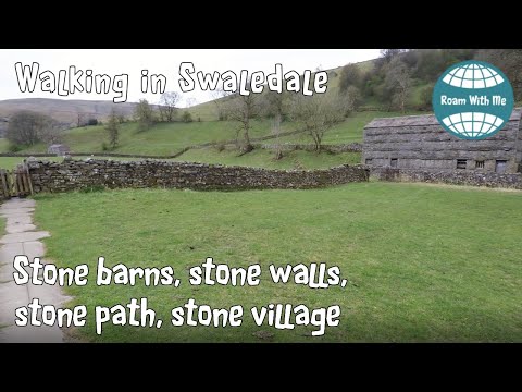
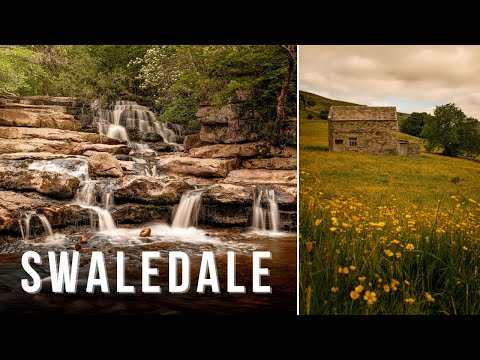
Walking in Swaledale to Muker village, slow tv style

Swaledale, in the Yorkshire Dales National Park, is famous for its stone barns, meadows, the River Swale of course, and its ...

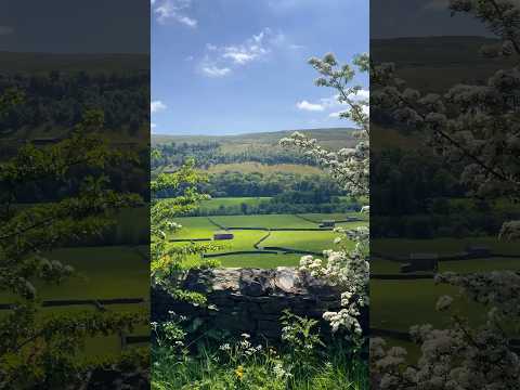
Spectacular Muker To Keld Wildflower Meadows Walk, Swaledale | Yorkshire Dales National Park

MUKER MEADOWS WALK: In the north of the Yorkshire Dales National Park you will find the unspoilt beauty of Swaledale.

Hiking around Gunnerside Yorkshire Dales

A family Hike to Gunnerside Gill in the Yorkshire Dales. Gunnerside is home to some wonderful old buildings that have been left ...

Nearby Amenities

Located within 500m of 54.374548,-2.1099234
Access: yes
Barrier: entrance
Lat/Long: 54.3755657/-2.1070991
Barrier: stile
Foot: yes
Lat/Long: 54.3753946/-2.1112814
Barrier: stile
Foot: yes
Lat/Long: 54.3758305/-2.1046798
Bench
Lat/Long: 54.3759039/-2.1045618
Power: pole
Lat/Long: 54.3772331/-2.1071579
Ivelet Heads
Place: isolated_dwelling
Lat/Long: 54.3785108/-2.1101236
Barrier: stile
Lat/Long: 54.3769687/-2.1035566
Barrier: stile
Lat/Long: 54.3767004/-2.1101261
Power: pole
Lat/Long: 54.3767763/-2.1057095
Barrier: stile
Foot: yes
Lat/Long: 54.3750695/-2.1146334
Ford: yes
Lat/Long: 54.3754551/-2.1088247
Ford: yes
Lat/Long: 54.375389/-2.1112097
Low Oxnop
Place: farm
Lat/Long: 54.3719668/-2.1070717
Access: yes
Barrier: cattle_grid
Lat/Long: 54.3734973/-2.1101647
Power: pole
Lat/Long: 54.3767051/-2.1114781
Power: pole
Lat/Long: 54.3767255/-2.1132835
Power: pole
Lat/Long: 54.376734/-2.1150277
Power: pole
Lat/Long: 54.3770483/-2.1086023
Entrance: yes
Lat/Long: 54.3719213/-2.1077016
Entrance: yes
Lat/Long: 54.3719636/-2.1076441
Barrier: cattle_grid
Lat/Long: 54.3719003/-2.1080152
Entrance: yes
Lat/Long: 54.3719439/-2.107393
Barrier: stile
Lat/Long: 54.3766038/-2.1081555
Barrier: stile
Lat/Long: 54.3766312/-2.1114944
Barrier: stile
Lat/Long: 54.3767905/-2.1135087
Barrier: stile
Lat/Long: 54.3769972/-2.1147132
Barrier: stile
Lat/Long: 54.3767746/-2.1057332
Barrier: stile
Lat/Long: 54.3768433/-2.1046151
Power: pole
Lat/Long: 54.3762309/-2.1059364
Power: pole
Lat/Long: 54.3723242/-2.107366
Power: pole
Lat/Long: 54.3727414/-2.107181
Power: pole
Lat/Long: 54.3736616/-2.106784
Power: pole
Lat/Long: 54.3749626/-2.1062061
Power: pole
Lat/Long: 54.3757096/-2.1060407
Power: pole
Lat/Long: 54.3726781/-2.1066284
Power: pole
Lat/Long: 54.3725851/-2.1060424
Power: pole
Lat/Long: 54.3723234/-2.1043365
Power: pole
Lat/Long: 54.371907/-2.103686
Power: pole
Lat/Long: 54.3774346/-2.1054617
Barrier: stile
Stile: squeezer
Lat/Long: 54.3754934/-2.104433
The data included in this document is from www.openstreetmap.org. The data is made available under ODbL.

Have you been to Acres Wood?

Leave your review of Acres Wood below (or comments, questions and feedback).