Ewood Wood
Wood, Forest in Lancashire
England
Ewood Wood
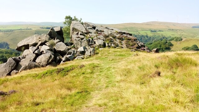
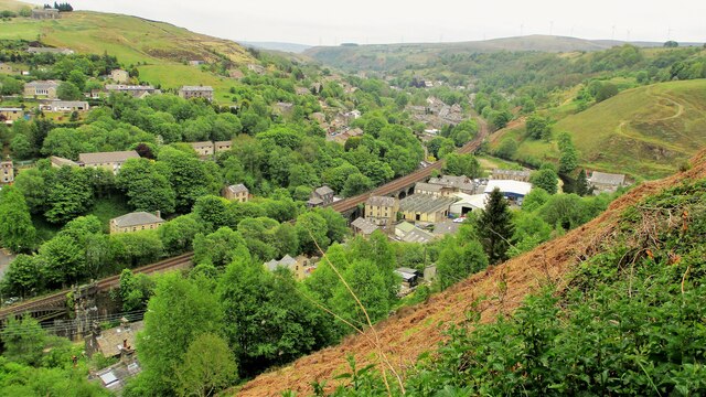
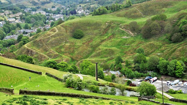
Ewood Wood, located in Lancashire, England, is a picturesque woodland area known for its rich history and natural beauty. Situated near the town of Blackburn, the wood covers an area of approximately 124 hectares and is renowned for its diverse range of flora and fauna.
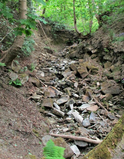
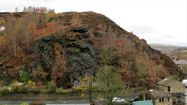
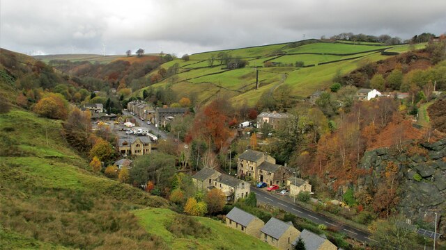
The wood is predominantly made up of oak and birch trees, creating a dense canopy that provides a habitat for various species. It is home to a wide array of wildlife, including deer, foxes, badgers, and numerous bird species. The wood also boasts a number of walking trails, allowing visitors to explore its serene surroundings and discover its hidden treasures.
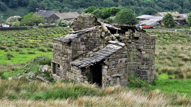
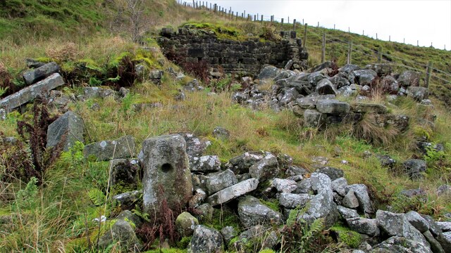
Ewood Wood has a long and fascinating history. It is believed to have been part of the Royal Forest of Blackburnshire, mentioned in the Domesday Book of 1086. Over the centuries, the wood has been managed and utilized by local communities for timber, charcoal, and hunting. Today, it is owned and managed by a local conservation organization, ensuring its preservation and protection for future generations to enjoy.
The wood is a popular destination for nature enthusiasts, hikers, and families alike. Its tranquil atmosphere and stunning scenery make it an ideal spot for leisurely walks, picnics, and wildlife spotting. Additionally, the wood offers educational opportunities, with guided tours and events organized throughout the year to help visitors learn about the area's ecology and history.
Ewood Wood is a true gem of Lancashire, offering a peaceful retreat from the hustle and bustle of everyday life, while also providing a valuable habitat for local wildlife.
If you have any feedback on the listing, please let us know in the comments section below.
Ewood Wood Images
Images are sourced within 2km of 53.717959/-2.1109579 or Grid Reference SD9224. Thanks to Geograph Open Source API. All images are credited.


Ewood Wood is located at Grid Ref: SD9224 (Lat: 53.717959, Lng: -2.1109579)
Unitary Authority: Calderdale
Police Authority: West Yorkshire
What 3 Words
///charts.manages.scrambles. Near Todmorden, West Yorkshire
Nearby Locations
Related Wikis

Todmorden War Memorial
Todmorden War Memorial is a war memorial located in Todmorden, West Yorkshire, England.The memorial is in the garden of remembrance in Centre Vale Park...

Todmorden High School
Todmorden High School is a comprehensive school in the town of Todmorden, Calderdale LEA, West Yorkshire, England. == Admissions == Todmorden High School...
Mons Mill, Todmorden
Mons Mill, Todmorden, is a former cotton spinning mill in Todmorden, Calderdale, West Yorkshire, England built for the Hare Spinning Company Limited. It...
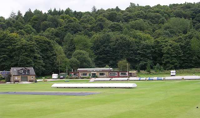
Todmorden Cricket Club
Todmorden Cricket Club is a cricket club in the Lancashire League, which plays its home games at Centre Vale in Todmorden, West Yorkshire. Until the administrative...

Dobroyd Castle
Dobroyd Castle is an important historic building above the town of Todmorden, West Yorkshire, England. It was built for John Fielden, local mill owner...

Todmorden railway station
Todmorden railway station serves the town of Todmorden in West Yorkshire, England, originally on the Yorkshire and Lancashire border. It was built by the...

Todmorden bus station
Todmorden bus station serves the town of Todmorden, West Yorkshire, England. The bus station is owned and managed by West Yorkshire Metro and was opened...

Todmorden Town Hall
Todmorden Town Hall is a municipal building in Halifax Road, Todmorden, West Yorkshire, England. The town hall, which is the meeting place of Todmorden...
Nearby Amenities
Located within 500m of 53.717959,-2.1109579Have you been to Ewood Wood?
Leave your review of Ewood Wood below (or comments, questions and feedback).