Boldridge Brake

Wood, Forest in Wiltshire Cotswold

England

Boldridge Brake

Long Newnton, Holy Trinity
Long Newnton, Holy Trinity Credit: Dave Kelly

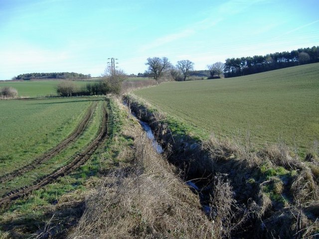
Boldridge Brake is a picturesque woodland located in the county of Wiltshire, England. Situated near the village of Boldridge, this forested area spans over 100 acres and is a popular destination for nature enthusiasts and outdoor adventurers.

The woodland is characterized by its dense canopy of mature trees, predominantly consisting of oak, beech, and birch. These towering trees create a vibrant and diverse ecosystem, providing habitat for a wide range of wildlife. Visitors to Boldridge Brake can expect to encounter various bird species, small mammals, and an array of flora and fauna.

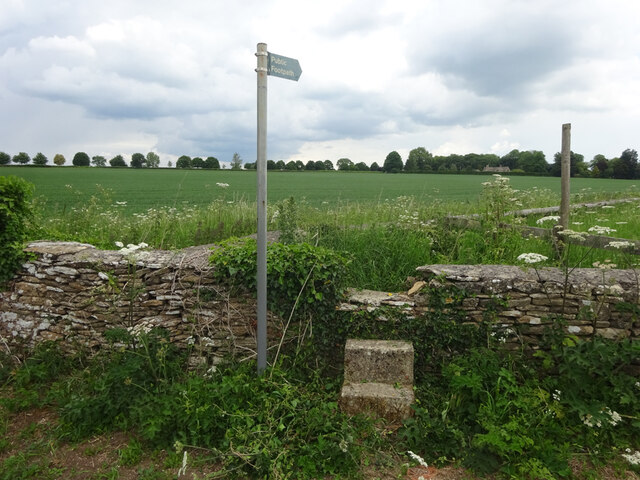
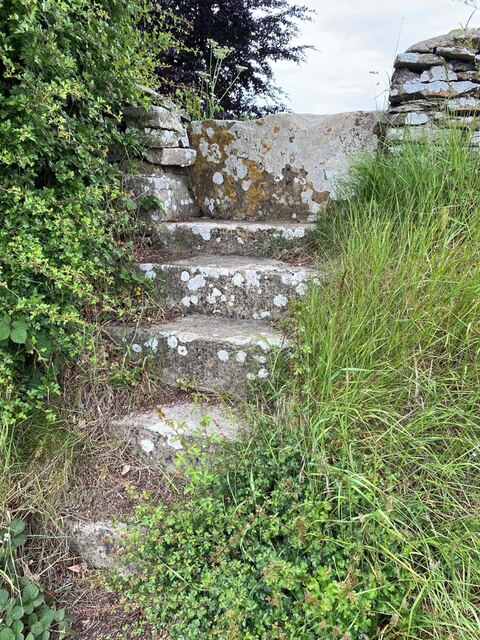
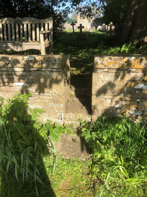
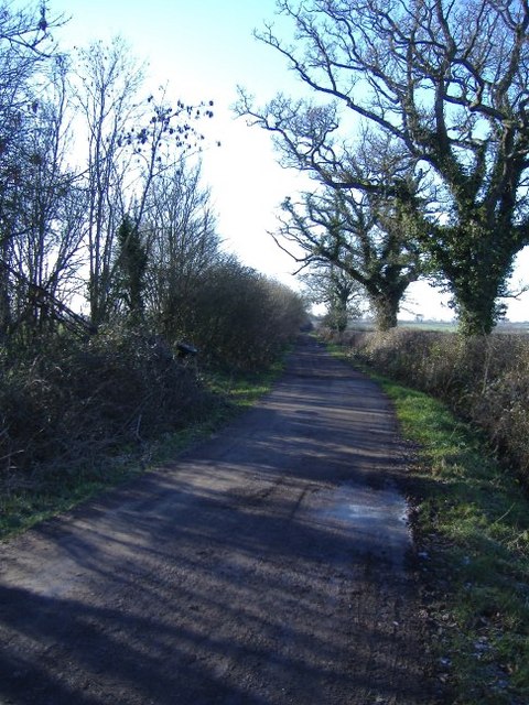
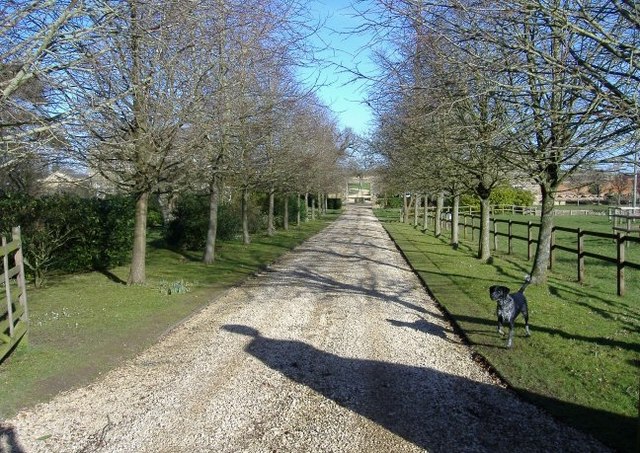
Trails and footpaths crisscross the forest, allowing visitors to explore its natural beauty at their own pace. The paths are well-maintained and marked, making it easy for hikers, joggers, and cyclists to navigate through the woods. Along the way, there are several designated picnic areas and benches where visitors can rest and enjoy the tranquil surroundings.

Boldridge Brake also offers opportunities for outdoor recreation, including camping and fishing. The forest is home to a small lake, which is stocked with fish, providing anglers with a peaceful spot to cast their lines. Additionally, a designated camping area allows visitors to spend the night under the stars and immerse themselves in the peaceful ambiance of the forest.

Overall, Boldridge Brake is a natural haven for those seeking solace in the beauty of nature. With its diverse wildlife, well-maintained trails, and recreational opportunities, this woodland in Wiltshire offers a truly enchanting experience for all who visit.

If you have any feedback on the listing, please let us know in the comments section below.

Boldridge Brake Images

Images are sourced within 2km of 51.629253/-2.1125235 or Grid Reference ST9292. Thanks to Geograph Open Source API. All images are credited.

Long Newnton, Holy Trinity
Stone Stile, Long Newnton Looking SW to the B4014, on Gloucestershire footpath NLN12
Stone Stile, Long Newnton
Looking SW to the B4014, on Gloucestershire footpath NLN12
Stone Stile, Long Newnton Looking NE from the B4014, on Gloucestershire footpath NLN12.
Stone Stile, Long Newnton
Looking NE from the B4014, on Gloucestershire footpath NLN12.
Stone Stile, Long Newnton Looking SW to the B4014 on Gloucestershire footpath NLN9. The view from the road is <a href="https://www.geograph.org.uk/photo/7194255">ST9191 : Stone Stile, Long Newnton</a>.
Stone Stile, Long Newnton
Looking SW to the B4014 on Gloucestershire footpath NLN9. The view from the road is ST9191 : Stone Stile, Long Newnton.
Stone Stile, Long Newnton Looking NE off the B4014 on Gloucestershire footpath NLN9 leading due East towards Newnton Farm. The view looking towards the road is <a href="https://www.geograph.org.uk/photo/7194252">ST9191 : Stone Stile, Long Newnton</a>.
Stone Stile, Long Newnton
Looking NE off the B4014 on Gloucestershire footpath NLN9 leading due East towards Newnton Farm. The view looking towards the road is ST9191 : Stone Stile, Long Newnton.
Stone Stile, Long Newnton A gap type stile in the churchyard wall of Holy Trinity Church looking from the road. Which one has to assume is Church Lane, because the house at the Southern junction with the B4104 is called Church Lane House. The view West is <a href="https://www.geograph.org.uk/photo/7419976">ST9092 : Stone Stile, Long Newnton</a>.
Stone Stile, Long Newnton
A gap type stile in the churchyard wall of Holy Trinity Church looking from the road. Which one has to assume is Church Lane, because the house at the Southern junction with the B4104 is called Church Lane House. The view West is ST9092 : Stone Stile, Long Newnton.
Stone Stile, Long Newnton A gap type stile in the churchyard wall of Holy Trinity Church looking from the road. Which one has to assume is Church Lane, because the house at the Southern junction with the B4104 is called Church Lane House. The view East is <a href="https://www.geograph.org.uk/photo/7205257">ST9092 : Stone Stile, Long Newnton</a>.
Stone Stile, Long Newnton
A gap type stile in the churchyard wall of Holy Trinity Church looking from the road. Which one has to assume is Church Lane, because the house at the Southern junction with the B4104 is called Church Lane House. The view East is ST9092 : Stone Stile, Long Newnton.
Holy Trinity Church Holy Trinity is the parish church at Long Newnton in Gloucestershire. Long Newnton is off the B4014 near Tetbury.
Holy Trinity Church
Holy Trinity is the parish church at Long Newnton in Gloucestershire. Long Newnton is off the B4014 near Tetbury.
Long Newnton Holy Trinity Church
Pill Box near Long Newnton
Pasture Field near  Ash Bed Looking across the field towards the copse of Ash Bed. Footpath runs along the hedge line from Chedglow to the Fosse Way
Pasture Field near Ash Bed
Looking across the field towards the copse of Ash Bed. Footpath runs along the hedge line from Chedglow to the Fosse Way
The Monarch's Way  Long Newnton With Newnton Gorse and Addy's Firs in the distance looking north along the Monarch's Way, a 610-mile footpath following as closely as possible the King's (Charles II) epic journey from Worcester, through the Midlands and on to Bridport, then across the South Downs to Shoreham.
The Monarch's Way Long Newnton
With Newnton Gorse and Addy's Firs in the distance looking north along the Monarch's Way, a 610-mile footpath following as closely as possible the King's (Charles II) epic journey from Worcester, through the Midlands and on to Bridport, then across the South Downs to Shoreham.
Monarch's Way Looking West along The Monarch's Way; here it crosses the road on its way from Tetbury
Monarch's Way
Looking West along The Monarch's Way; here it crosses the road on its way from Tetbury
Main road at Long Newnton Looking South East on the B4014 between Tetbury and Malmesbury.
Main road at Long Newnton
Looking South East on the B4014 between Tetbury and Malmesbury.
Gilboa farm A brook, feeding the River Avon, cuts through the middle of the farm.
Gilboa farm
A brook, feeding the River Avon, cuts through the middle of the farm.
The Fosse Way The old Roman road intersects the B4014, just north of this point.
The Fosse Way
The old Roman road intersects the B4014, just north of this point.
Newnton One of several substantial stone houses, grouped around this fork in the road.
Newnton
One of several substantial stone houses, grouped around this fork in the road.
Newnton House driveway A barking, but friendly, dog greets visitors to the house.
Newnton House driveway
A barking, but friendly, dog greets visitors to the house.
Show me another place!

Boldridge Brake is located at Grid Ref: ST9292 (Lat: 51.629253, Lng: -2.1125235)

Administrative County: Gloucestershire

District: Cotswold

Police Authority: Gloucestershire

What 3 Words

///slick.dodges.chess. Near Tetbury, Gloucestershire

Related Wikis

RAF Long Newnton

Royal Air Force Long Newnton or more simply RAF Long Newnton is a former Royal Air Force satellite airfield in north Wiltshire, England, close to the Gloucestershire...

Long Newnton

Long Newnton is a small village and civil parish in Gloucestershire, England (historically in Wiltshire), lying on the B4014 road between Malmesbury (2...

Ashley, Gloucestershire

Ashley is a village and civil parish in the Cotswold district of Gloucestershire, England, about 8 miles south-west of Cirencester. According to the 2001...

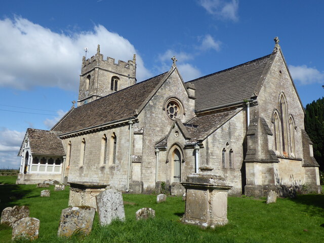
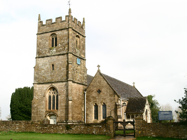
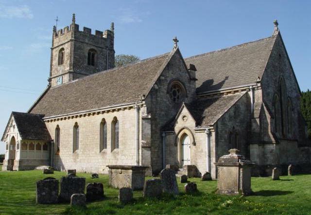
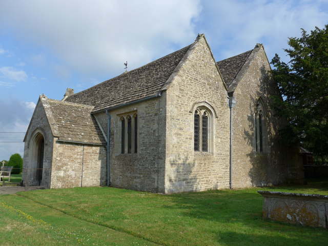
Church of St James, Ashley

The Anglican Church of St James at Ashley in the Cotswold District of Gloucestershire, England was built in the Norman period and rebuilt around 1200....

Crudwell

Crudwell is a village and civil parish in north Wiltshire, England. The nearest towns are Malmesbury, about 4 miles (6.4 km) to the south-west, and Cirencester...

Brokenborough

Brokenborough is a village and civil parish about 1+1⁄2 miles (2.4 km) northwest of Malmesbury, Wiltshire in England. The course of the Fosse Way Roman...

Tetbury railway station

Tetbury railway station was the terminus station on the Tetbury branch line, serving the Gloucestershire town of Tetbury. == History == The station was...

Tetbury Woolsack Races

The Tetbury Woolsack Races are an annual sporting event in the English town of Tetbury, in Gloucestershire, where competitors must race up and down the...

Nearby Amenities

Located within 500m of 51.629253,-2.1125235
Bunker Type: pillbox
Historic: archaeological_site
Military: bunker
Lat/Long: 51.6283871/-2.1181003
Note: "HP GAS"
Pipeline: marker
Substance: gas
Support: pole
Lat/Long: 51.6323399/-2.1134748
Power: pole
Lat/Long: 51.6268647/-2.1132012
Power: pole
Lat/Long: 51.6271852/-2.1128498
Power: pole
Lat/Long: 51.6279087/-2.1119754
Power: pole
Lat/Long: 51.6279736/-2.1111801
Power: pole
Lat/Long: 51.6287728/-2.1102132
Power: pole
Lat/Long: 51.629582/-2.1092731
Power: pole
Lat/Long: 51.6301656/-2.1085931
Power: pole
Lat/Long: 51.6308782/-2.1078059
Power: pole
Lat/Long: 51.6316157/-2.1069557
Power: pole
Lat/Long: 51.6332556/-2.1092382
Power: pole
Lat/Long: 51.6332806/-2.1115556
Power: pole
Lat/Long: 51.6333139/-2.1136652
Power: pole
Lat/Long: 51.6333364/-2.115465
The data included in this document is from www.openstreetmap.org. The data is made available under ODbL.

Have you been to Boldridge Brake?

Leave your review of Boldridge Brake below (or comments, questions and feedback).