Cotley Hill Woods
Wood, Forest in Wiltshire
England
Cotley Hill Woods

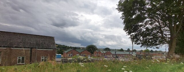
Cotley Hill Woods is a picturesque woodland located in Wiltshire, England. Covering an area of approximately 200 acres, it is renowned for its natural beauty and diverse wildlife. The woods are situated on Cotley Hill, a prominent hill in the region, offering visitors breathtaking views of the surrounding countryside.
The woodland is predominantly made up of deciduous trees such as oak, ash, and beech, which create a dense canopy, providing shade and shelter for a wide range of flora and fauna. Bluebells, primroses, and foxgloves are just a few examples of the colorful wildflowers that bloom in abundance during the spring and summer months, creating a stunning display of natural beauty.
Cotley Hill Woods is home to a variety of wildlife, making it a popular spot for nature enthusiasts and birdwatchers. Numerous bird species can be spotted here, including woodpeckers, buzzards, and owls. The woods also provide a habitat for mammals such as deer, foxes, and badgers.
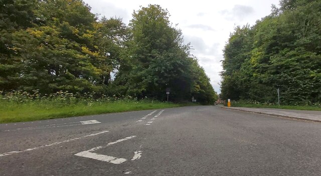
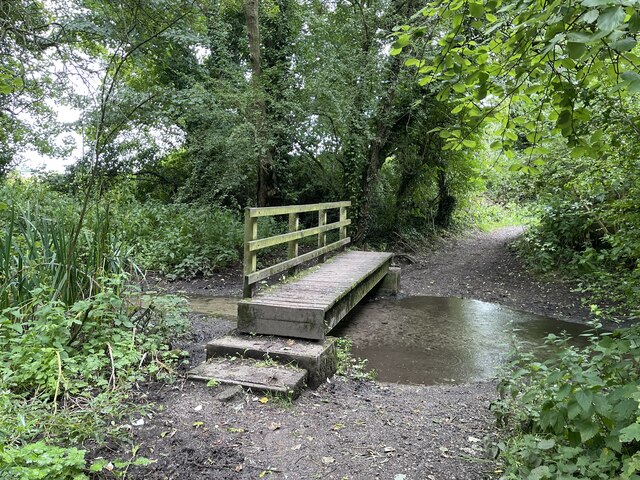
The woodland is crisscrossed with well-maintained footpaths and trails, allowing visitors to explore the area at their leisure. These paths lead to hidden clearings, picturesque streams, and ancient ruins, adding an element of intrigue and discovery to any walk in the woods.
Cotley Hill Woods offers a tranquil and peaceful escape from the hustle and bustle of everyday life. Whether visitors are seeking a leisurely stroll, a picnic spot, or a chance to immerse themselves in the wonders of nature, this woodland provides an idyllic setting for all.
If you have any feedback on the listing, please let us know in the comments section below.
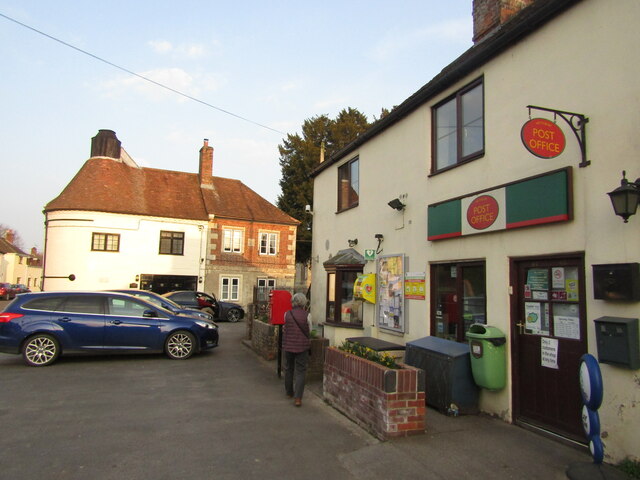
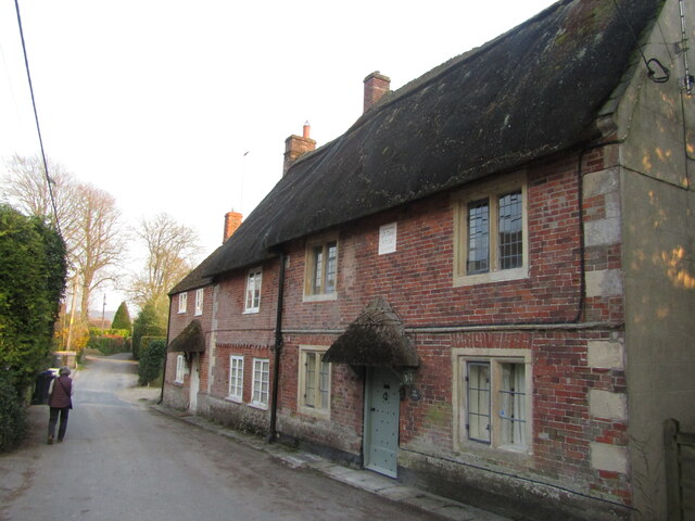
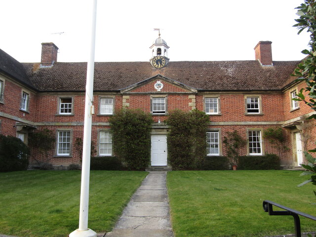
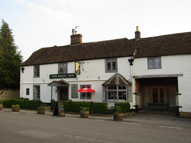
Cotley Hill Woods Images
Images are sourced within 2km of 51.188772/-2.1120603 or Grid Reference ST9243. Thanks to Geograph Open Source API. All images are credited.


Cotley Hill Woods is located at Grid Ref: ST9243 (Lat: 51.188772, Lng: -2.1120603)
Unitary Authority: Wiltshire
Police Authority: Wiltshire
What 3 Words
///enrolling.sharper.poet. Near Bishopstrow, Wiltshire
Nearby Locations
Related Wikis
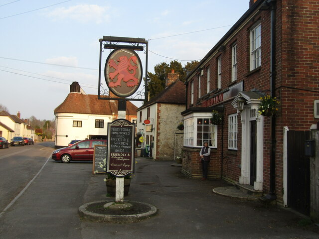
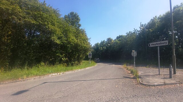
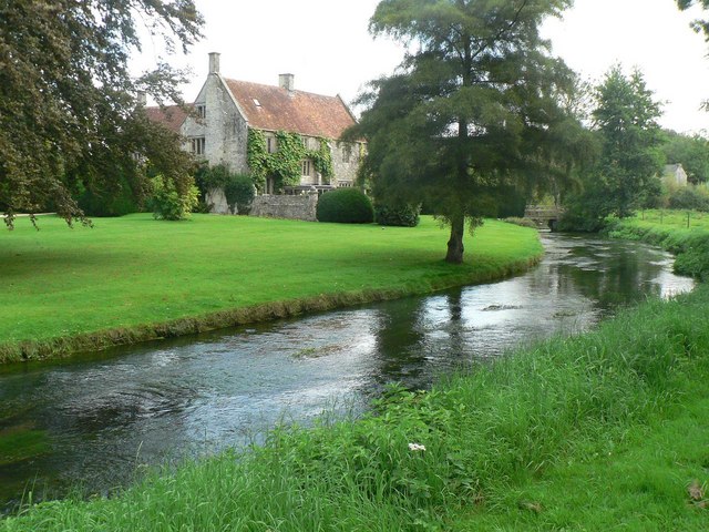
Heytesbury
Heytesbury is a village (formerly considered to be a town) and a civil parish in Wiltshire, England. The village lies on the north bank of the Wylye, about...
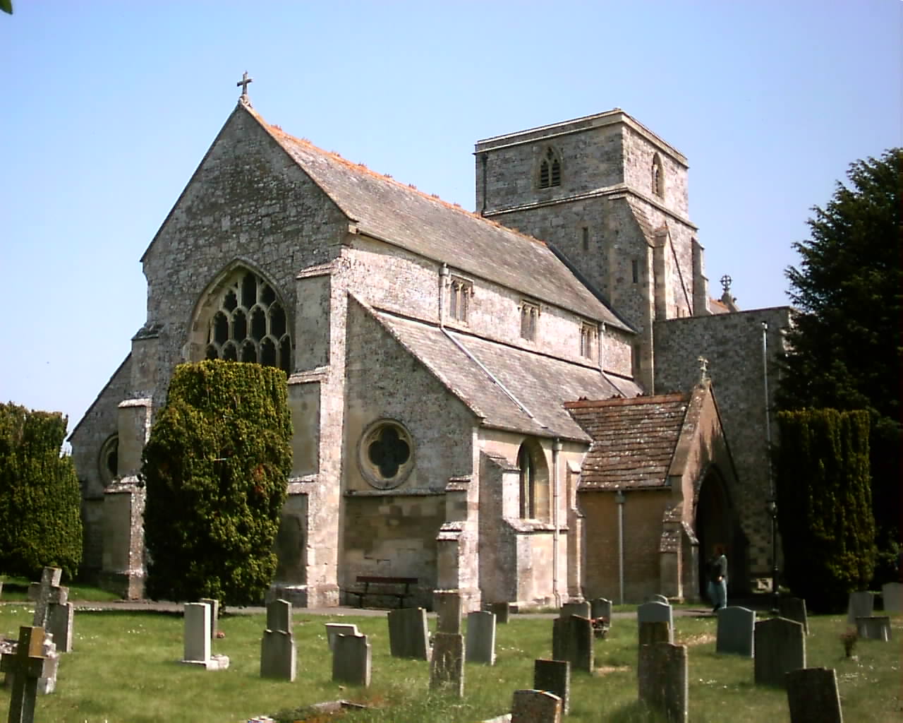
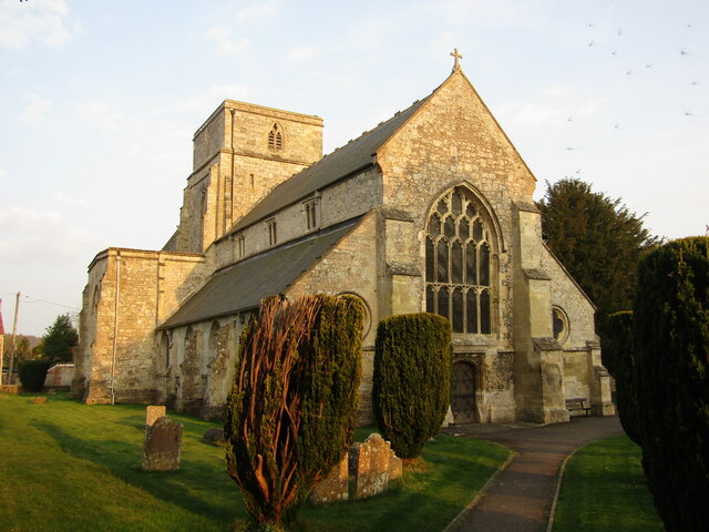
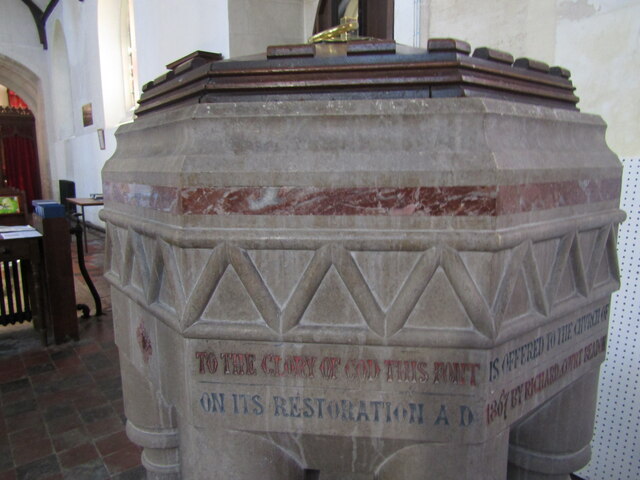
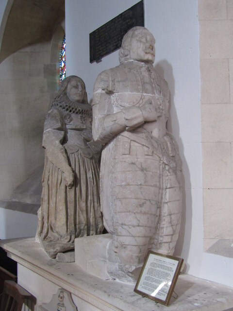
Church of St Peter and St Paul, Heytesbury
The Church of St Peter and St Paul, Heytesbury is the Church of England parish church for the parish of Heytesbury with Tytherington and Knook, Wiltshire...
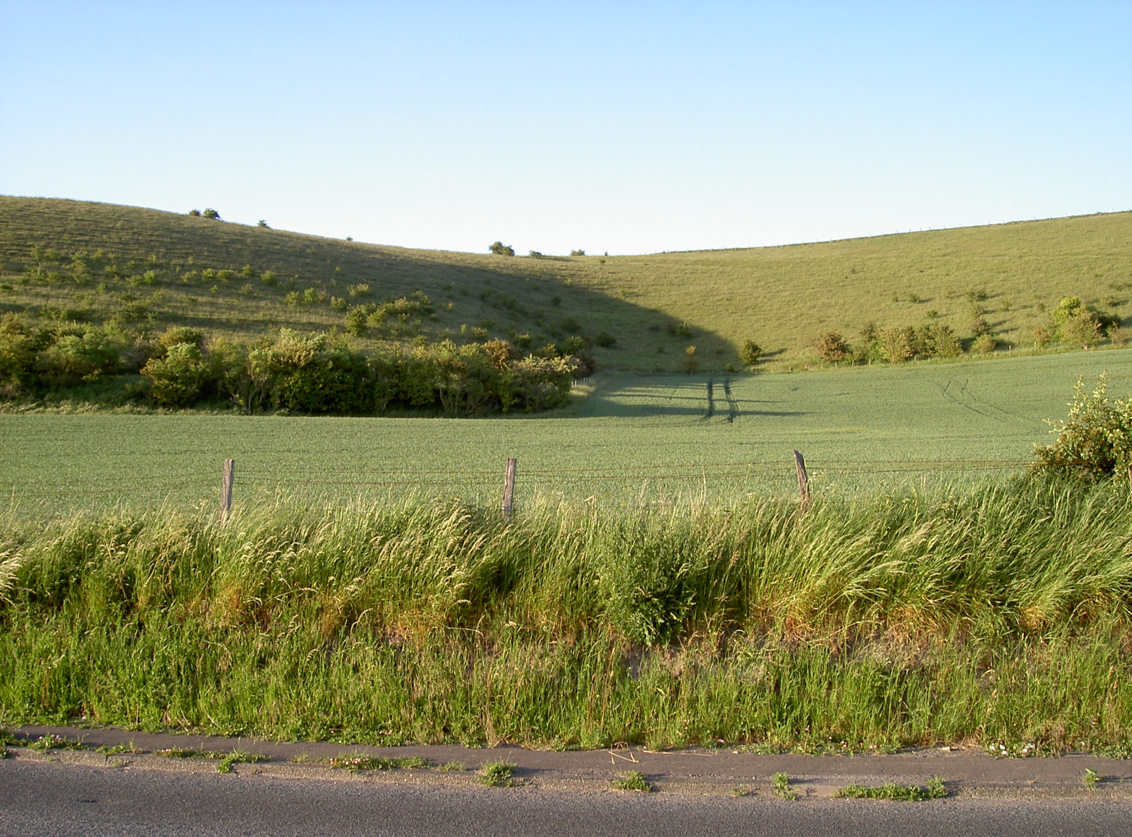
Scratchbury and Cotley Hills SSSI
Scratchbury & Cotley Hills SSSI (grid reference ST915437) is a 53.5 hectare biological Site of Special Scientific Interest at Norton Bavant in Wiltshire...

Norton Bavant
Norton Bavant is a small village and civil parish in Wiltshire, England, 2 miles (3.2 km) southeast of Warminster. == Geography == The village is on the...

Heytesbury railway station
Heytesbury railway station is a former railway station near Heytesbury, Wiltshire, England, in the Wylye Valley, about three miles south of Warminster...

Scratchbury Camp
Scratchbury Camp is the site of an Iron Age univallate hillfort on Scratchbury Hill, overlooking the Wylye valley about 1 km northeast of the village of...
Knook
Knook is a small village and civil parish in Wiltshire, England. The village lies to the north of the River Wylye at the edge of Salisbury Plain, about...

Tytherington, Wiltshire
Tytherington is a small village in Wiltshire, in the southwest of England. It lies on the south side of the Wylye valley, about 3+1⁄2 miles (6 km) southeast...
Nearby Amenities
Located within 500m of 51.188772,-2.1120603Have you been to Cotley Hill Woods?
Leave your review of Cotley Hill Woods below (or comments, questions and feedback).