Cave Wood

Wood, Forest in Yorkshire Craven

England

Cave Wood

Benchmark on rock in NW verge of moorland road west of Brootes Barn Ordnance Survey rivet benchmark levelled at 285.461m above Newlyn Datum verified 1954
Benchmark on rock in NW verge of moorland road west of Brootes Barn Credit: Roger Templeman

Cave Wood is a picturesque woodland located in Yorkshire, England. Nestled in the heart of the county, it covers an area of approximately 50 acres and is known for its rich biodiversity and natural beauty. The wood is situated near the village of Cave, hence its name.

This ancient woodland is predominantly composed of oak and beech trees, which provide a dense canopy and create a serene and tranquil atmosphere. The forest floor is covered in a thick carpet of ferns, bluebells, and wild garlic, adding to its enchanting allure.

Cave Wood is a haven for wildlife, with various species making it their home. Bird enthusiasts can spot a wide range of species, including great spotted woodpeckers, tawny owls, and nuthatches. Additionally, red kites and buzzards can often be seen soaring above the treetops.

The wood is crisscrossed with a network of well-maintained footpaths, making it a popular destination for walkers, hikers, and nature enthusiasts. These paths offer visitors the opportunity to explore the wood at their own pace, taking in the breathtaking scenery and enjoying the peaceful ambiance.

Cave Wood is also steeped in history, with ancient remnants scattered throughout. There are traces of medieval charcoal pits, indicating the area's past use for charcoal production. Furthermore, the wood is believed to have been a source of timber for local industries during the Victorian era.

Overall, Cave Wood is a captivating natural gem in Yorkshire, offering a perfect blend of wildlife, flora, and history. Whether one seeks solitude, adventure, or simply a connection with nature, this woodland provides an idyllic escape from the bustle of everyday life.

If you have any feedback on the listing, please let us know in the comments section below.
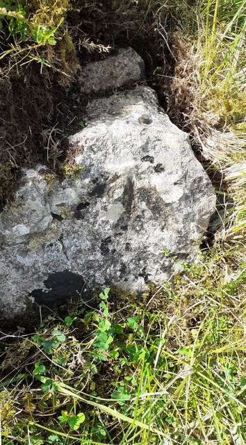
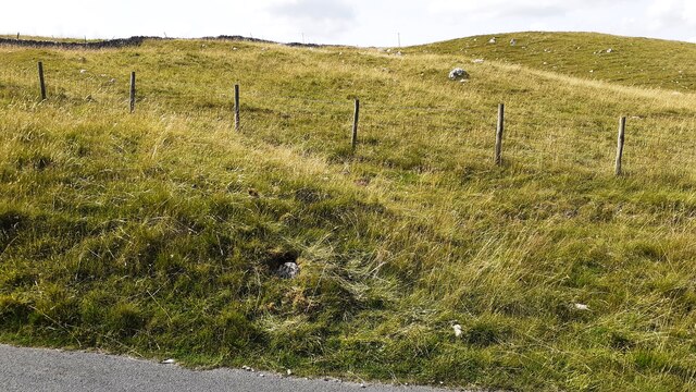
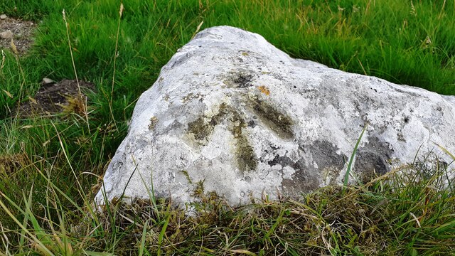
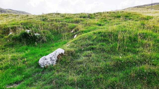
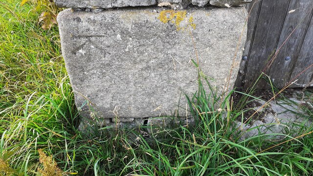
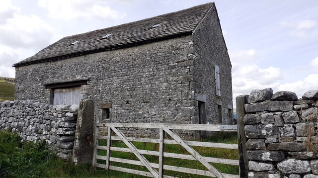
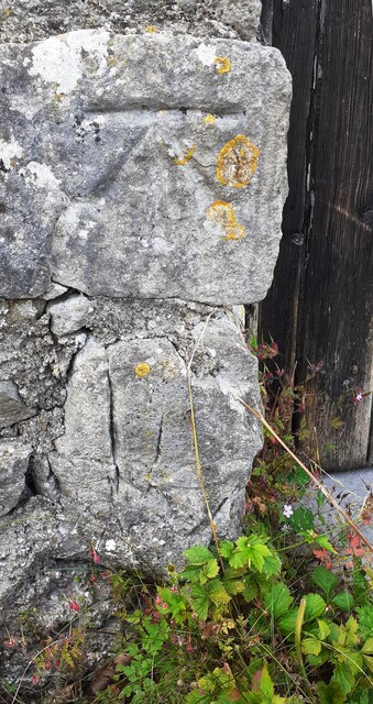
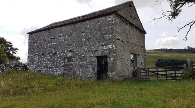
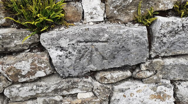
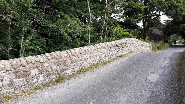
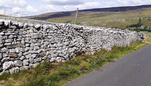
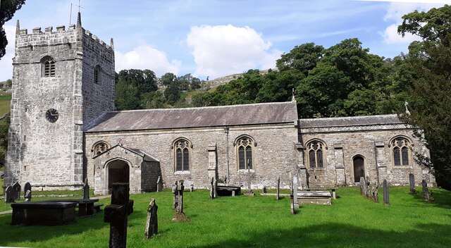
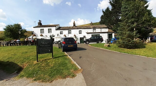
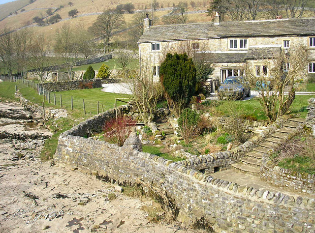
Cave Wood Images

Images are sourced within 2km of 54.155469/-2.124454 or Grid Reference SD9173. Thanks to Geograph Open Source API. All images are credited.

Benchmark on rock in NW verge of moorland road west of Brootes Barn Ordnance Survey rivet benchmark levelled at 285.461m above Newlyn Datum verified 1954
Benchmark on rock in NW verge of moorland road west of Brootes Barn
Ordnance Survey rivet benchmark levelled at 285.461m above Newlyn Datum verified 1954
Moorland NW of moorland road west of Brootes Barn There is an Ordnance Survey benchmark <a href="https://www.geograph.org.uk/photo/6924774">SD9271 : Benchmark on rock in NW verge of moorland road west of Brootes Barn</a> on the rock in the verge just left of centre of the image
Moorland NW of moorland road west of Brootes Barn
There is an Ordnance Survey benchmark SD9271 : Benchmark on rock in NW verge of moorland road west of Brootes Barn on the rock in the verge just left of centre of the image
Benchmark on rock in field off south side of road west of Brootes Barn Ordnance Survey pivot benchmark levelled at 268.108m above Newlyn Datum verified 1954
Benchmark on rock in field off south side of road west of Brootes Barn
Ordnance Survey pivot benchmark levelled at 268.108m above Newlyn Datum verified 1954
Grass moorland on south side of road west of Brootes Barn There is an Ordnance Survey benchmark <a href="https://www.geograph.org.uk/photo/6924811">SD9271 : Benchmark on rock in field off south side of road west of Brootes Barn</a> on the large rock in the foreground, left of centre
Grass moorland on south side of road west of Brootes Barn
There is an Ordnance Survey benchmark SD9271 : Benchmark on rock in field off south side of road west of Brootes Barn on the large rock in the foreground, left of centre
Benchmark on Brootes Barn Ordnance Survey cut mark benchmark levelled at 252.399m above Newlyn Datum verified 1954
Benchmark on Brootes Barn
Ordnance Survey cut mark benchmark levelled at 252.399m above Newlyn Datum verified 1954
Brootes Barn There is an Ordnance Survey benchmark <a href="https://www.geograph.org.uk/photo/6924875">SD9271 : Benchmark on Brootes Barn</a> on the right hand side of the barn at its front corner
Brootes Barn
There is an Ordnance Survey benchmark SD9271 : Benchmark on Brootes Barn on the right hand side of the barn at its front corner
Benchmark on Studdleber Barn, NW side Brootes Lane
Studdleber Barn, Brootes Lane There is an Ordnance Survey benchmark <a href="https://www.geograph.org.uk/photo/6924892">SD9271 : Benchmark on Studdleber Barn, NW side Brootes Lane</a> on the front of the barn on the left hand side of the wooden door
Studdleber Barn, Brootes Lane
There is an Ordnance Survey benchmark SD9271 : Benchmark on Studdleber Barn, NW side Brootes Lane on the front of the barn on the left hand side of the wooden door
Benchmark on NE parapet of bridge over Cowside Beck Ordnance Survey cut mark benchmark described on the Bench Mark Database at <span class="nowrap"><a title="www.bench-marks.org.uk/bm45300" rel="nofollow ugc noopener" href="http://www.bench-marks.org.uk/bm45300">Link</a><img style="margin-left:2px;" alt="External link" title="External link - shift click to open in new window" src="https://s1.geograph.org.uk/img/external.png" width="10" height="10"/></span>
Benchmark on NE parapet of bridge over Cowside Beck
Ordnance Survey cut mark benchmark described on the Bench Mark Database at LinkExternal link
NE parapet of bridge over Cowside Beck NW of centre of Arncliffe There is an Ordnance Survey benchmark <a href="https://www.geograph.org.uk/photo/6924903">SD9371 : Benchmark on NE parapet of bridge over Cowside Beck</a> on a stone in the parapet about 2m on the nearside of its apex
NE parapet of bridge over Cowside Beck NW of centre of Arncliffe
There is an Ordnance Survey benchmark SD9371 : Benchmark on NE parapet of bridge over Cowside Beck on a stone in the parapet about 2m on the nearside of its apex
Moorland road SW of Brootes Barn Ordnance Survey documents indicate that a benchmark levelled at 321.403m above Newlyn Datum was verified in 1954 on a boulder on the side of the road here
Moorland road SW of Brootes Barn
Ordnance Survey documents indicate that a benchmark levelled at 321.403m above Newlyn Datum was verified in 1954 on a boulder on the side of the road here
View over Cowside Beck
St Oswald's Church
St Oswald's Church
The Queens Arms
The Queens Arms
Benchmark on tower of St Oswald's Church Ordnance Survey cut mark benchmark described on the Bench Mark Database at <span class="nowrap"><a title="www.bench-marks.org.uk/bm100707" rel="nofollow ugc noopener" href="http://www.bench-marks.org.uk/bm100707">Link</a><img style="margin-left:2px;" alt="External link" title="External link - shift click to open in new window" src="https://s1.geograph.org.uk/img/external.png" width="10" height="10"/></span>
Benchmark on tower of St Oswald's Church
Ordnance Survey cut mark benchmark described on the Bench Mark Database at LinkExternal link
St Oswald's Church There is an Ordnance Survey benchmark <a href="https://www.geograph.org.uk/photo/6925429">SD9371 : Benchmark on tower of St Oswald's Church</a> on the tower right of the left hand buttress
St Oswald's Church
There is an Ordnance Survey benchmark SD9371 : Benchmark on tower of St Oswald's Church on the tower right of the left hand buttress
Benchmark on west parapet of Arncliffe Bridge Ordnance Survey cut mark benchmark described on the Bench Mark Database at <span class="nowrap"><a title="www.bench-marks.org.uk/bm58431" rel="nofollow ugc noopener" href="http://www.bench-marks.org.uk/bm58431">Link</a><img style="margin-left:2px;" alt="External link" title="External link - shift click to open in new window" src="https://s1.geograph.org.uk/img/external.png" width="10" height="10"/></span>
Benchmark on west parapet of Arncliffe Bridge
Ordnance Survey cut mark benchmark described on the Bench Mark Database at LinkExternal link
View over west parapet of Arncliffe Bridge There is an Ordnance Survey benchmark <a href="https://www.geograph.org.uk/photo/6925522">SD9371 : Benchmark on west parapet of Arncliffe Bridge</a> on the parapet at the bridge apex
View over west parapet of Arncliffe Bridge
There is an Ordnance Survey benchmark SD9371 : Benchmark on west parapet of Arncliffe Bridge on the parapet at the bridge apex
Show me another place!

Cave Wood is located at Grid Ref: SD9173 (Lat: 54.155469, Lng: -2.124454)

Division: West Riding

Administrative County: North Yorkshire

District: Craven

Police Authority: North Yorkshire

What 3 Words

///devoured.possible.figs. Near Grassington, North Yorkshire

Related Wikis

Scoska Wood

Scoska Wood is an IUCN Category IV – habitat or species management area, a British national nature reserve (NNR), and a Site of Special Scientific Interest...

Litton, North Yorkshire

Litton is a village and civil parish in Littondale in the Yorkshire Dales in England. It lies in the Craven District of North Yorkshire, 1.5 miles (2...

Arncliffe, North Yorkshire

Arncliffe is a small village and civil parish in Littondale, one of the Yorkshire Dales in England. Littondale is a small valley beside Upper Wharfedale...

Birks Fell

Birks Fell is a hill in the Yorkshire Dales, near to Hubberholme in North Yorkshire, England. It is classed as a Marilyn (a hill with topographic prominence...

Hesleden, North Yorkshire

Hesleden is a hamlet in Littondale in the Yorkshire Dales in England. It lies within the civil parish of Halton Gill in the Craven district of North Yorkshire...

Starbotton

Starbotton is a village of around 60 houses in Upper Wharfedale in the Craven district of North Yorkshire, England. It is situated in the Yorkshire Dales...

Kettlewell with Starbotton

Kettlewell with Starbotton is a civil parish in the Craven district of North Yorkshire, England. Kettlewell is a village in Upper Wharfedale, North Yorkshire...

Hawkswick

Hawkswick is a hamlet and civil parish in the Craven district of North Yorkshire, England. Situated in the Yorkshire Dales, it lies in Littondale on the...

Nearby Amenities

Located within 500m of 54.155469,-2.124454
Low Fields Barn
Historic: archaeological_site
Source: OS 1851;DigitalGlobe-Premium
Source Name: OS 1851 Yorkshire 115
Lat/Long: 54.1531031/-2.1251058
Power: pole
Lat/Long: 54.1522408/-2.1203613
Power: pole
Lat/Long: 54.1527733/-2.1213216
Power: pole
Lat/Long: 54.1538681/-2.1233171
Power: pole
Lat/Long: 54.1543943/-2.1242854
Power: pole
Lat/Long: 54.155376/-2.1261737
Power: pole
Lat/Long: 54.1558833/-2.1271098
Power: pole
Lat/Long: 54.1564409/-2.128129
Power: pole
Lat/Long: 54.1569812/-2.1288532
Power: pole
Lat/Long: 54.1575843/-2.1297115
Power: pole
Lat/Long: 54.1581858/-2.1305323
The data included in this document is from www.openstreetmap.org. The data is made available under ODbL.

Have you been to Cave Wood?

Leave your review of Cave Wood below (or comments, questions and feedback).