Bristley Hill Wood

Wood, Forest in Gloucestershire Stroud

England

Bristley Hill Wood

Chalford from railway line Looking towards High Street at Chalford, with Coppice Hill further up. Chalford Baptist Church is visible at top mid-right of picture.
Chalford from railway line Credit: Clint Mann

Bristley Hill Wood is a picturesque woodland located in the county of Gloucestershire, England. Covering an area of approximately 50 hectares, this ancient wood is a designated Site of Special Scientific Interest (SSSI) due to its rich biodiversity and historical significance.

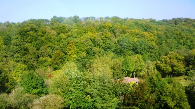
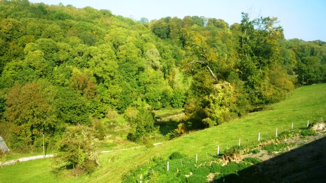
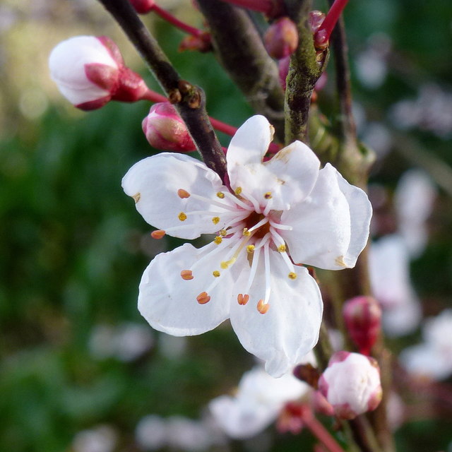
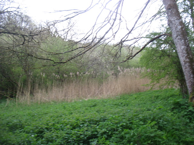
The woodland is predominantly composed of native broadleaf trees, including oak, beech, hazel, and ash. These trees provide a dense canopy, creating a shaded and tranquil environment. The forest floor is covered with a diverse range of wildflowers, such as bluebells, primroses, and wood anemones, which bloom in abundance during the spring months.

Bristley Hill Wood is home to a variety of wildlife species. Birdwatchers can spot a range of birds, including woodpeckers, nuthatches, and tawny owls, while mammal enthusiasts may catch a glimpse of badgers, foxes, and deer. The wood also supports a thriving population of insects, including butterflies, bees, and beetles.

The wood has a rich history, with evidence of human activity dating back thousands of years. Archaeological remains, including Iron Age earthworks and Bronze Age barrows, have been found within the woodland. These ancient features provide a glimpse into the lives of past civilizations and add to the cultural significance of the site.

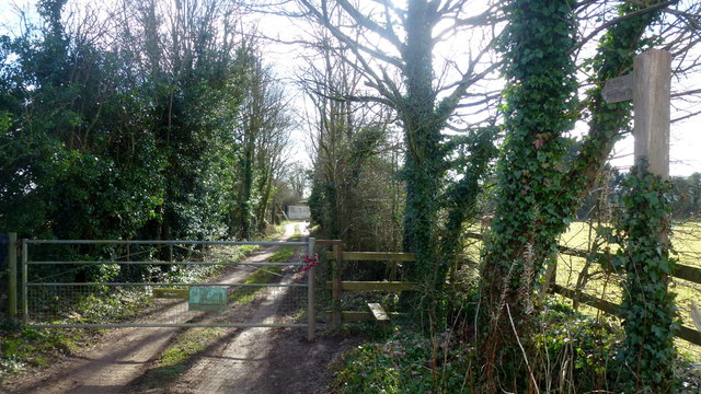
Bristley Hill Wood is a popular destination for nature lovers, walkers, and photographers. It offers a peaceful retreat from the hustle and bustle of everyday life, allowing visitors to immerse themselves in the beauty of the natural world. The wood is managed by the Gloucestershire Wildlife Trust, ensuring its preservation for future generations to enjoy.

If you have any feedback on the listing, please let us know in the comments section below.

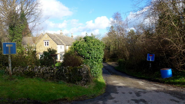
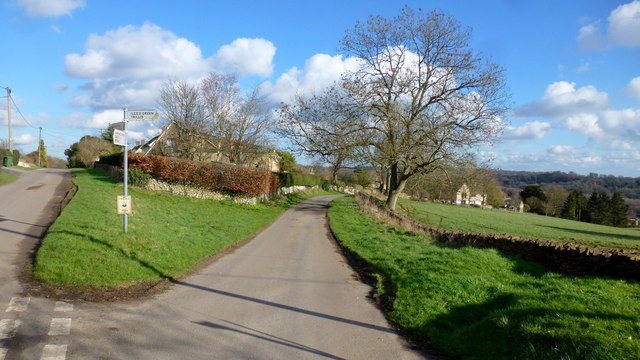
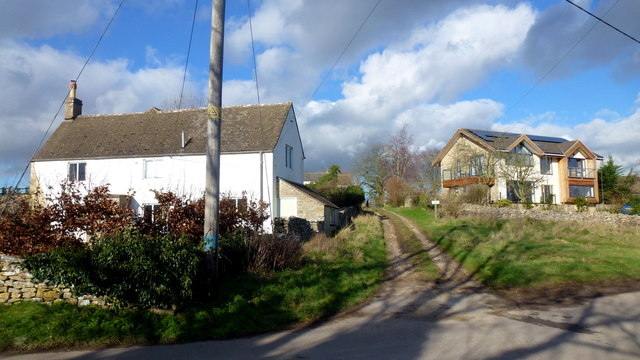
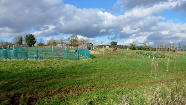
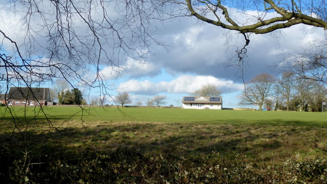
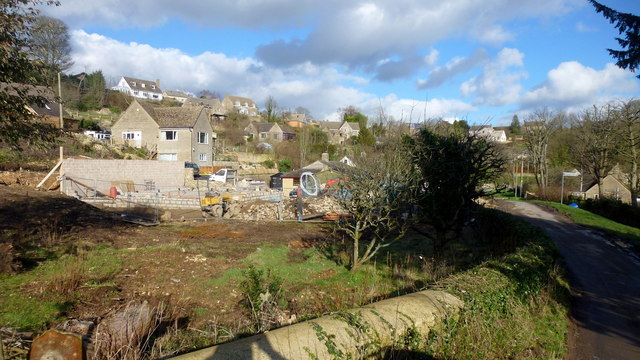
Bristley Hill Wood Images

Images are sourced within 2km of 51.725452/-2.1191764 or Grid Reference SO9102. Thanks to Geograph Open Source API. All images are credited.

Chalford from railway line Looking towards High Street at Chalford, with Coppice Hill further up. Chalford Baptist Church is visible at top mid-right of picture.
Chalford from railway line
Looking towards High Street at Chalford, with Coppice Hill further up. Chalford Baptist Church is visible at top mid-right of picture.
Woodland north of railway line Dense woodland adorns the hills to the north of the Severn and Thames Canal. Bristley Hill Wood and (to the right) Tanner's Wood are located here.
Woodland north of railway line
Dense woodland adorns the hills to the north of the Severn and Thames Canal. Bristley Hill Wood and (to the right) Tanner's Wood are located here.
Trackway and canal in the Golden Valley Viewed from the railway line. Tanner's Wood seen in background.
Trackway and canal in the Golden Valley
Viewed from the railway line. Tanner's Wood seen in background.
Private drive, public path The path cuts through to Hyde's Bottom from Limekiln Lane.
Private drive, public path
The path cuts through to Hyde's Bottom from Limekiln Lane.
Lane to Waterlane The shrub with pinky white flowers is a Viburnun sp, possibly V lantana, Wayfaring Tree.
Lane to Waterlane
The shrub with pinky white flowers is a Viburnun sp, possibly V lantana, Wayfaring Tree.
Viburnum lantana by Limekiln Lane Detail of the shrub seen in context in <a href="https://www.geograph.org.uk/photo/5013388">SO9104 : Lane to Waterlane</a>.
Viburnum lantana by Limekiln Lane
Detail of the shrub seen in context in SO9104 : Lane to Waterlane.
Dead end lane at Waterlane One of six lanes to radiate out from the junction at the centre of this Cotswolds hamlet.
Dead end lane at Waterlane
One of six lanes to radiate out from the junction at the centre of this Cotswolds hamlet.
Far Oakridge, 1 Cotswolds hamlet on the hillside above the Frome valley.
Far Oakridge, 1
Cotswolds hamlet on the hillside above the Frome valley.
Far Oakridge, 2 This track and bridleway leads north to Waterlane.
Far Oakridge is a Cotswolds hamlet on the hillside above the Frome valley.
Far Oakridge, 2
This track and bridleway leads north to Waterlane. Far Oakridge is a Cotswolds hamlet on the hillside above the Frome valley.
Allotments, Oakridge Look like nice sized plots here.
Allotments, Oakridge
Look like nice sized plots here.
Oakridge recreation ground Facility on the east side of the village.
Oakridge recreation ground
Facility on the east side of the village.
Oakridge A hilltop village that looks as though there is very little planning.
Oakridge
A hilltop village that looks as though there is very little planning.
Cotswolds stream Some small waterfalls here at Bourne's Green.
Cotswolds stream
Some small waterfalls here at Bourne's Green.
Steep lane, Bourne's Green Leading to Upper Hill Farm.
Steep lane, Bourne's Green
Leading to Upper Hill Farm.
Moon's Lane, Bourne's Green Leading uphill to Hyde's Bottom and on to Bisley.
Moon's Lane, Bourne's Green
Leading uphill to Hyde's Bottom and on to Bisley.
Track and bridleway Towards Upper Hill Farm.
Track and bridleway
Towards Upper Hill Farm.
Cotswolds pasture land To the north-west of France Lench.
Cotswolds pasture land
To the north-west of France Lench.
This was the Thames and Severn Canal
Show me another place!

Bristley Hill Wood is located at Grid Ref: SO9102 (Lat: 51.725452, Lng: -2.1191764)

Administrative County: Gloucestershire

District: Stroud

Police Authority: Gloucestershire

What 3 Words

///leathers.rockets.begun. Near Chalford, Gloucestershire

Related Wikis

Nearby Amenities

Located within 500m of 51.725452,-2.1191764
Defibrillator
Booth: K6
Covered: booth
Defibrillator Location: inside red phone box, Main Street, Frampton Mansell - above St Lukes Church
Disused Amenity: telephone
Emergency: defibrillator
Man Made: telephone_box
Note: phone box also contains shelves of DVDs
Lat/Long: 51.7221044/-2.1146844
Ele: 85.9228516
Historic: milestone
Lat/Long: 51.724799/-2.125249
Viaduct Barn
Landuse: homestead
Lat/Long: 51.7239142/-2.1197591
Info
Description: Parish noticeboard
Lat/Long: 51.7221756/-2.1146264
Post Box
Post Box Type: wall
Ref: GL6 103
Royal Cypher: GVIR
Royal Cypher Wikidata: Q33102169
Lat/Long: 51.7221965/-2.1143049
Bus Stop
Saint Luke
Bus: yes
Naptan AtcoCode: 1600GL2079
Naptan Bearing: NE
Naptan CommonName: St Luke's Church
Naptan NaptanCode: glodpdpg
Naptan Street: Main Street
Naptan Verified: yes
Note: Services 22B, 28A, 54 and 54A
Public Transport: platform
Ref: GL2079
Shelter: yes
Source: naptan_import
Lat/Long: 51.7221482/-2.1145736
Note: I think it's a spillweir, not 100% sure as it was covered in vegetation.
Source: survey
Waterway: spillweir
Lat/Long: 51.7257644/-2.1121201
Crossing Barrier: no
Railway: crossing
Lat/Long: 51.7240379/-2.1158226
Barrier: kissing_gate
Lat/Long: 51.7256609/-2.1119927
Barrier: kissing_gate
Source: survey
Lat/Long: 51.7251768/-2.1155119
Barrier: stile
Lat/Long: 51.72442/-2.1194406
Barrier: stile
Material: wood
Step Count: 2
Stile: stepover
Lat/Long: 51.7239634/-2.1157722
Barrier: bollard
Lat/Long: 51.7226062/-2.115828
Bus Stop
St Luke's Church
Bus: yes
Naptan AtcoCode: 1600GL2080
Naptan Bearing: SW
Naptan BusStopType: CUS
Naptan CommonName: St Luke's Church
Naptan Indicator: Opp
Naptan NaptanCode: glodpdpj
Naptan Street: Main Street
Naptan Verified: no
Public Transport: platform
Source: naptan_import
Lat/Long: 51.7220202/-2.1145566
Bus Stop
St Luke's Church
Bus: yes
Naptan AtcoCode: 1600GLC658
Naptan Bearing: SW
Naptan CommonName: St Luke's Church
Naptan Indicator: Opp
Naptan NaptanCode: glodpdpa
Naptan Street: Manor House Lane
Naptan Verified: no
Public Transport: platform
Source: naptan_import
Lat/Long: 51.7219569/-2.1148749
Barrier: stile
Material: wood
Step Count: 2
Stile: stepover
Lat/Long: 51.7241995/-2.1157911
Railway: level_crossing
Lat/Long: 51.7246159/-2.1127529
Barrier: stile
Lat/Long: 51.721759/-2.1160375
Barrier: stile
Lat/Long: 51.7264415/-2.115902
Barrier: stile
Lat/Long: 51.7288304/-2.1146219
Grit Bin
Lat/Long: 51.7243863/-2.1226255
Barrier: stile
Lat/Long: 51.7245075/-2.1217309
Barrier: stile
Lat/Long: 51.72503/-2.1160384
Barrier: stile
Lat/Long: 51.7260446/-2.1157748
Barrier: stile
Lat/Long: 51.7210839/-2.1192666
Barrier: stile
Lat/Long: 51.7215068/-2.1171711
Barrier: stile
Lat/Long: 51.7212092/-2.1187408
Barrier: squeeze_stile
Lat/Long: 51.7247819/-2.1159345
Power: pole
Lat/Long: 51.7227732/-2.1182329
Power: pole
Lat/Long: 51.7224234/-2.1197336
Power: pole
Lat/Long: 51.7232759/-2.1160675
Power: pole
Lat/Long: 51.7233087/-2.1156772
Material: wood
Power: pole
Lat/Long: 51.7232525/-2.1196894
Power: pole
Lat/Long: 51.7229385/-2.1175128
Power: pole
Lat/Long: 51.7233796/-2.1149916
Power: pole
Lat/Long: 51.7234888/-2.1128995
Power: pole
Lat/Long: 51.7216175/-2.1197846
Material: wood
Power: pole
Lat/Long: 51.7234477/-2.114144
Material: wood
Power: pole
Lat/Long: 51.7232915/-2.1164667
Crossing Barrier: no
Railway: crossing
Lat/Long: 51.7240724/-2.1158379
Railway: level_crossing
Lat/Long: 51.7246534/-2.1127122
Elementa Design
Addr City: Stroud
Addr County: Gloucestershire
Addr Housename: The Thatch
Addr Place: Frampton Mansell
Addr Postcode: GL6 8JG
Opening Hours: Mo-Fr 07:00-19:00
Phone: +44 1285 760263
Website: https://www.elementadesign.co.uk/
Lat/Long: 51.7235404/-2.1160366
Bench
Backrest: yes
Lat/Long: 51.7221246/-2.1146276
Waste Basket
Lat/Long: 51.7221359/-2.1145973
Advertising: board
Lat/Long: 51.7220844/-2.1147467
The data included in this document is from www.openstreetmap.org. The data is made available under ODbL.

Have you been to Bristley Hill Wood?

Leave your review of Bristley Hill Wood below (or comments, questions and feedback).