Cherryfield Wood

Wood, Forest in Wiltshire

England

Cherryfield Wood

Bend in the road at Semley Common The common is a small strip of land on either side of the road at this point
Bend in the road at Semley Common Credit: David Martin

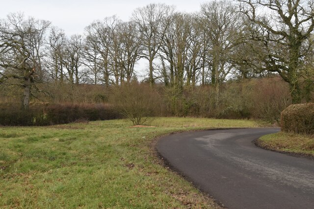
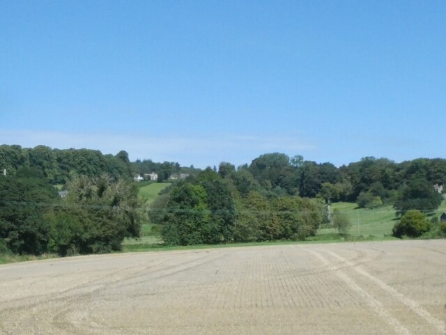
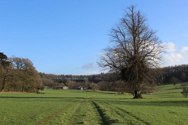
Cherryfield Wood is a picturesque woodland located in the county of Wiltshire, England. Spanning approximately 50 acres, it is a delightful natural haven that attracts visitors from near and far. The wood is known for its abundant cherry trees, which bloom spectacularly in the spring, creating a dreamy, pink-hued landscape.

The wood is home to a diverse range of flora and fauna, with ancient oaks, birch, and hazel trees dotting the landscape. Bluebells carpet the forest floor during the spring months, creating a stunning display of color. The woodland is a haven for wildlife, with many species making it their home, including deer, foxes, badgers, and a variety of bird species.

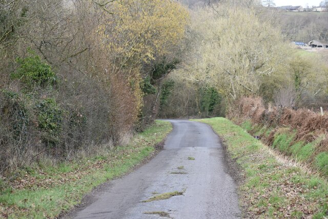
Visitors to Cherryfield Wood can embark on enchanting nature walks, taking in the sights and sounds of the forest. There are well-marked trails that wind through the wood, allowing visitors to explore its beauty at their own pace. The wood is also a popular spot for birdwatching and photography enthusiasts, who can capture the natural beauty and tranquility of the surroundings.

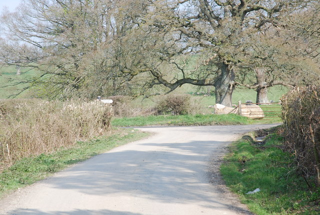
Cherryfield Wood is easily accessible, located just a short drive from the nearby village of Wiltshire. The wood offers ample parking facilities and has picnic areas for visitors to enjoy a leisurely lunch amidst nature. It is a perfect destination for families, nature lovers, and those seeking a peaceful retreat away from the hustle and bustle of everyday life.

If you have any feedback on the listing, please let us know in the comments section below.

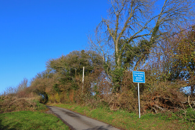
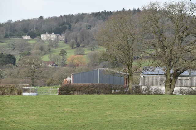
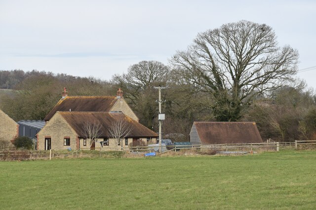
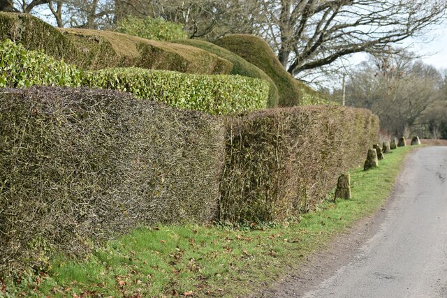
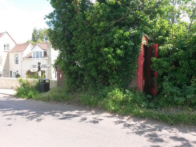
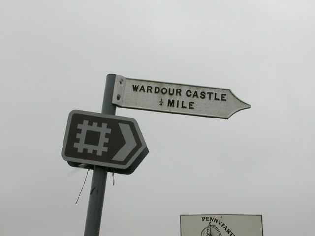
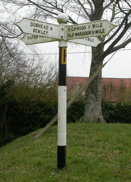
Cherryfield Wood Images

Images are sourced within 2km of 51.048219/-2.1197658 or Grid Reference ST9127. Thanks to Geograph Open Source API. All images are credited.
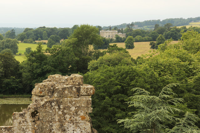
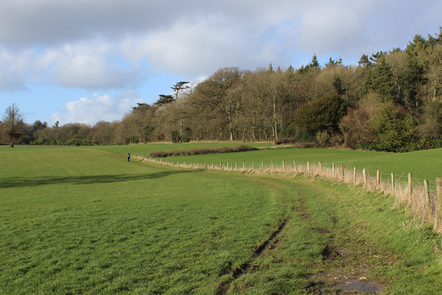
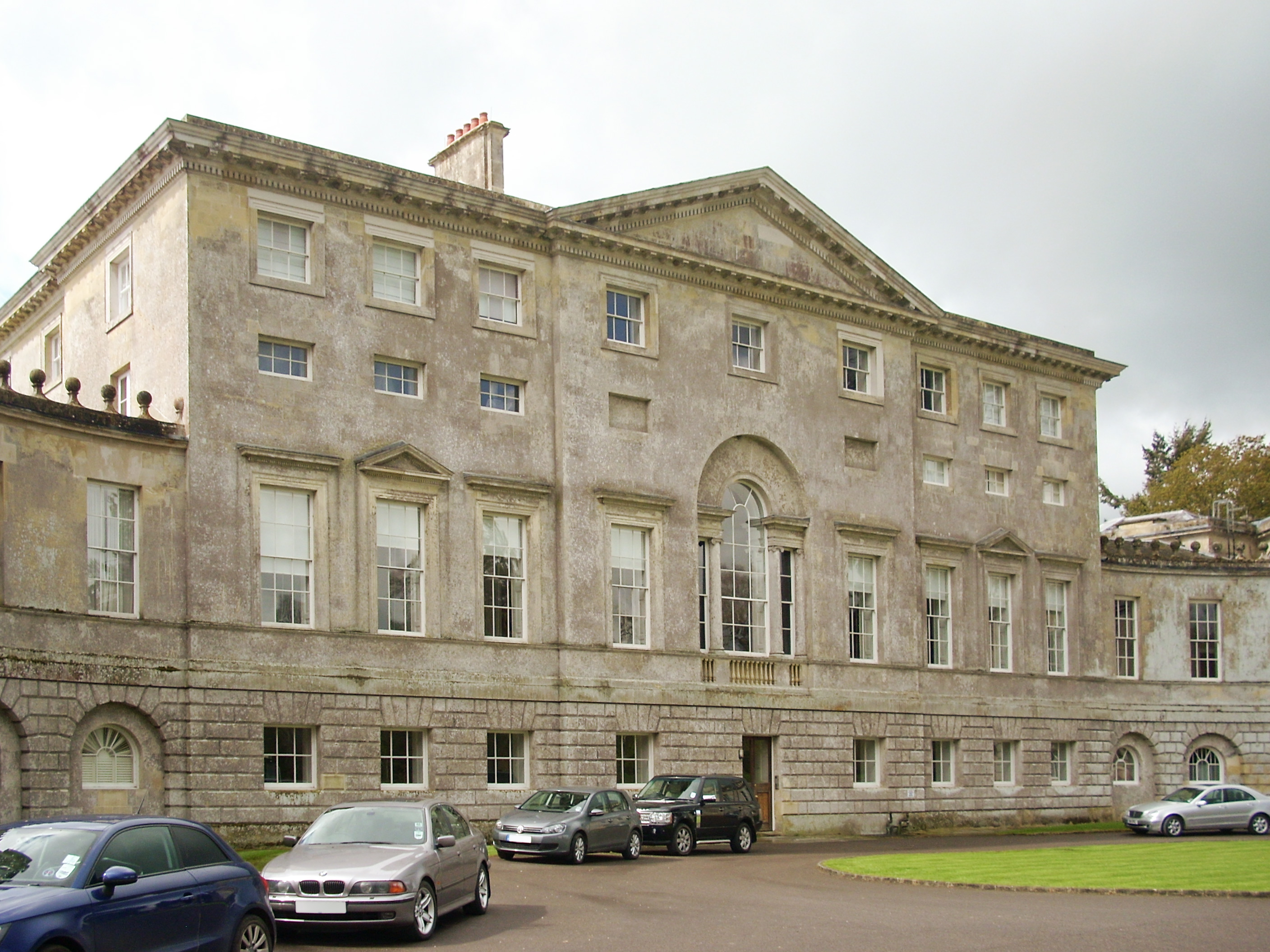
Bend in the road at Semley Common The common is a small strip of land on either side of the road at this point
Bend in the road at Semley Common
The common is a small strip of land on either side of the road at this point
Railway west of Tisbury A view east of the ex London & South Western Railway (LSWR) main Salisbury to Exeter railway line.  This has suffered downgrading in past years, being singled for much of its length, but hopefully it might be upgraded in the future, with rail traffic increasing.
Railway west of Tisbury
A view east of the ex London & South Western Railway (LSWR) main Salisbury to Exeter railway line. This has suffered downgrading in past years, being singled for much of its length, but hopefully it might be upgraded in the future, with rail traffic increasing.
Wardour Court Wardour Court, from the footpath through the estate.
Wardour Court
Wardour Court, from the footpath through the estate.
West Hatch Houses at West Hatch.
West Hatch
Houses at West Hatch.
Road Junction Near East Hatch.
Road Junction
Near East Hatch.
Buildings at Broad Oak Farm With Pythouse seen on the hill in the distance.
Buildings at Broad Oak Farm
With Pythouse seen on the hill in the distance.
View towards Broad Oak Farm
Roadside topiary at Folly Oak
Lane north of Broad Oak Farm
Fields near West Hatch
Trees along the Nadder A view from a train on the Waterloo Line. The Nadder crosses the image, obscured by the trees; a tiny tributary from East Hatch enters it in the centre. On the left is Buff Lodge.
Trees along the Nadder
A view from a train on the Waterloo Line. The Nadder crosses the image, obscured by the trees; a tiny tributary from East Hatch enters it in the centre. On the left is Buff Lodge.
New Wardour Castle View across the valley from Old Wardour Castle to New Wardour Castle <a title="https://www.geograph.org.uk/photo/603418" href="https://www.geograph.org.uk/photo/603418">Link</a>
New Wardour Castle
View across the valley from Old Wardour Castle to New Wardour Castle Link
Newtown: a hidden phone box This telephone box has been rather overcome by the adjacent foliage in the 8 years since it was photographed here: <a href="https://www.geograph.org.uk/photo/1201067">ST9128 : Telephone box, Newtown</a>

The ivy has also made its way into the box from the far corner, not via the door which seems to be jammed half-open.

A notice in the box, saying that BT propose to remove it as it isn't sufficiently used, is dated 2009 although the phone apparatus is still in the box.

A postbox in a pillar can be seen to the far left.
Newtown: a hidden phone box
This telephone box has been rather overcome by the adjacent foliage in the 8 years since it was photographed here: ST9128 : Telephone box, Newtown The ivy has also made its way into the box from the far corner, not via the door which seems to be jammed half-open. A notice in the box, saying that BT propose to remove it as it isn't sufficiently used, is dated 2009 although the phone apparatus is still in the box. A postbox in a pillar can be seen to the far left.
Old Wardour Castle [10] A view of the parkland surrounding the castle.  In the distance is new Wardour Castle.
The castle, now a ruin, was built in the 1390s and was remodelled in the 1570s and was partly destroyed by Civil War sieges in 1643 and 1644. The bailey was laid out as a pleasure garden in 1776 when it was incorporated into the grounds of the new Wardour Castle. 
The castle is listed, grade I, with details at: <span class="nowrap"><a title="https://www.historicengland.org.uk/listing/the-list/list-entry/1183429" rel="nofollow ugc noopener" href="https://www.historicengland.org.uk/listing/the-list/list-entry/1183429">Link</a><img style="margin-left:2px;" alt="External link" title="External link - shift click to open in new window" src="https://s1.geograph.org.uk/img/external.png" width="10" height="10"/></span>
The site is a Scheduled Ancient Monument and there is much history and detail at: <span class="nowrap"><a title="https://www.historicengland.org.uk/listing/the-list/list-entry/1013398" rel="nofollow ugc noopener" href="https://www.historicengland.org.uk/listing/the-list/list-entry/1013398">Link</a><img style="margin-left:2px;" alt="External link" title="External link - shift click to open in new window" src="https://s1.geograph.org.uk/img/external.png" width="10" height="10"/></span>
As part of the grounds around new Wardour Castle, the site is also on the Register of Historic Parks and Gardens, grade II*, and there is history and detail at: <span class="nowrap"><a title="https://www.historicengland.org.uk/listing/the-list/list-entry/1000507" rel="nofollow ugc noopener" href="https://www.historicengland.org.uk/listing/the-list/list-entry/1000507">Link</a><img style="margin-left:2px;" alt="External link" title="External link - shift click to open in new window" src="https://s1.geograph.org.uk/img/external.png" width="10" height="10"/></span>
Old Wardour Castle [10]
A view of the parkland surrounding the castle. In the distance is new Wardour Castle. The castle, now a ruin, was built in the 1390s and was remodelled in the 1570s and was partly destroyed by Civil War sieges in 1643 and 1644. The bailey was laid out as a pleasure garden in 1776 when it was incorporated into the grounds of the new Wardour Castle. The castle is listed, grade I, with details at: LinkExternal link The site is a Scheduled Ancient Monument and there is much history and detail at: LinkExternal link As part of the grounds around new Wardour Castle, the site is also on the Register of Historic Parks and Gardens, grade II*, and there is history and detail at: LinkExternal link
Old Direction Sign - Signpost north of Wardour, West Tisbury Parish No finial - 1 arm; Farris casting? by the UC road, in parish of West Tisbury (Salisbury District), Pythouse Farm, junction of UC road to Wardour.

Surveyed

Milestone Society National ID: WI_ST9227.
Old Direction Sign - Signpost north of Wardour, West Tisbury Parish
No finial - 1 arm; Farris casting? by the UC road, in parish of West Tisbury (Salisbury District), Pythouse Farm, junction of UC road to Wardour. Surveyed Milestone Society National ID: WI_ST9227.
Old Direction Sign - Signpost by Hazledon House, Tisbury parish Ball finial - 4 arms; by the UC road, in parish of Tisbury (Salisbury District), Hazeldon Lane, opposite Hazeldon Old Manor House, on grass triangle.

Grade II listed.
List Entry Number: 1146026 <span class="nowrap"><a title="https://historicengland.org.uk/listing/the-list/list-entry/1146026" rel="nofollow ugc noopener" href="https://historicengland.org.uk/listing/the-list/list-entry/1146026">Link</a><img style="margin-left:2px;" alt="External link" title="External link - shift click to open in new window" src="https://s1.geograph.org.uk/img/external.png" width="10" height="10"/></span>

Surveyed

Milestone Society National ID: WI_ST9327
Old Direction Sign - Signpost by Hazledon House, Tisbury parish
Ball finial - 4 arms; by the UC road, in parish of Tisbury (Salisbury District), Hazeldon Lane, opposite Hazeldon Old Manor House, on grass triangle. Grade II listed. List Entry Number: 1146026 LinkExternal link Surveyed Milestone Society National ID: WI_ST9327
Wessex Ridgeway heading North West in Wardour Park The long distance footpath heading for the new Wardour Castle having just passed through Ark Farm
Wessex Ridgeway heading North West in Wardour Park
The long distance footpath heading for the new Wardour Castle having just passed through Ark Farm
Wessex Ridgeway heading South East in Wardour Park Heading towards Ark Farm and Old Wardour Castle
Wessex Ridgeway heading South East in Wardour Park
Heading towards Ark Farm and Old Wardour Castle
Show me another place!

Cherryfield Wood is located at Grid Ref: ST9127 (Lat: 51.048219, Lng: -2.1197658)

Unitary Authority: Wiltshire

Police Authority: Wiltshire

What 3 Words

///tribal.hormones.etchings. Near Tisbury, Wiltshire

Nearby Locations

Cherryfield Wood

Related Wikis

Wardour, Wiltshire

Wardour is a settlement in the civil parish of Tisbury, in Wiltshire, England, about 13 miles (21 km) west of Salisbury and 4 miles (6 km) south of Hindon...

West Tisbury, Wiltshire

West Tisbury is a civil parish in southwest Wiltshire, England. The parish takes in the southwestern quarter of the village of Tisbury and extends about...

Pythouse

Pythouse, sometimes spelled Pyt House and pronounced pit-house, is a country house in southwest Wiltshire, in the west of England. It is about 2+1⁄2 miles...

Cranborne Chase School

Cranborne Chase School was an independent boarding school for girls, and was located in the English counties of Dorset and (later) Wiltshire, between 1946...

New Wardour Castle

New Wardour Castle is a Grade I listed English country house at Wardour, near Tisbury in Wiltshire, built for the Arundell family. The house is of Palladian...

Wardour Castle

Wardour Castle or Old Wardour Castle is a ruined 14th-century castle at Wardour, on the boundaries of the civil parishes of Tisbury and Donhead St Andrew...

Siege of Wardour Castle

Wardour Castle in Wiltshire, England, was besieged twice during the First English Civil War; once in May 1643, and then again between November 1643 and...

Semley

Semley is a village and former civil parish, now in the parish of Sedgehill and Semley, in Wiltshire, England, about 3 miles (4.8 km) north-east of Shaftesbury...

Nearby Amenities

Located within 500m of 51.048219,-2.1197658
Barrier: stile
Lat/Long: 51.0490598/-2.126388
Barrier: stile
Lat/Long: 51.0494534/-2.1235187
Barrier: stile
Lat/Long: 51.0499587/-2.1216869
Barrier: stile
Lat/Long: 51.0500233/-2.1217897
Barrier: stile
Lat/Long: 51.0507588/-2.1184485
Barrier: stile
Lat/Long: 51.0510442/-2.1177891
Power: pole
Lat/Long: 51.0491678/-2.1256828
Power: pole
Lat/Long: 51.0498423/-2.123993
Power: pole
Lat/Long: 51.0505437/-2.1223891
Power: pole
Lat/Long: 51.0511744/-2.1209246
Power: pole
Lat/Long: 51.0516498/-2.1195567
The data included in this document is from www.openstreetmap.org. The data is made available under ODbL.

Have you been to Cherryfield Wood?

Leave your review of Cherryfield Wood below (or comments, questions and feedback).