Copy Wood

Wood, Forest in Lancashire Pendle

England

Copy Wood

Field edge footpath near to Laneshaw Bridge Looking north-eastward. Footfall must be light as the only evidence of a path is on the map.
Field edge footpath near to Laneshaw Bridge Credit: Peter Wood

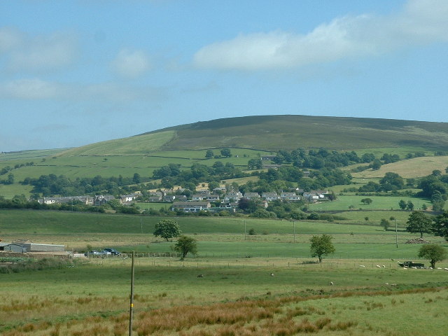
Copy Wood is a small forested area located in Lancashire, England. Situated near the town of Burnley, it covers an approximate area of 500 acres. The wood is part of the larger Forest of Rossendale, which is known for its scenic beauty and rich biodiversity.

Copy Wood is predominantly composed of ancient broadleaf trees, including oak, beech, and birch. These trees create a dense canopy that provides habitat for various bird species, such as woodpeckers, owls, and thrushes. The forest floor is adorned with a diverse array of wildflowers, ferns, and mosses, adding to its natural charm.

The wood is intersected by several well-maintained walking trails, allowing visitors to explore its beauty at their own pace. These paths lead to tranquil spots like secluded ponds and clearings, providing opportunities for relaxation and wildlife observation. The forest is also home to a number of small mammals, including squirrels, rabbits, and foxes.

Copy Wood is a popular destination for nature enthusiasts and outdoor enthusiasts alike. Its serene atmosphere and abundant wildlife make it an ideal location for activities such as hiking, birdwatching, and photography. The wood is open to the public throughout the year, and there are no entrance fees or restrictions on visiting hours.

Overall, Copy Wood is a picturesque forest in Lancashire that offers visitors a chance to immerse themselves in the beauty of nature. Its ancient trees, diverse wildlife, and peaceful ambience make it a haven for those seeking a break from the hustle and bustle of daily life.

If you have any feedback on the listing, please let us know in the comments section below.
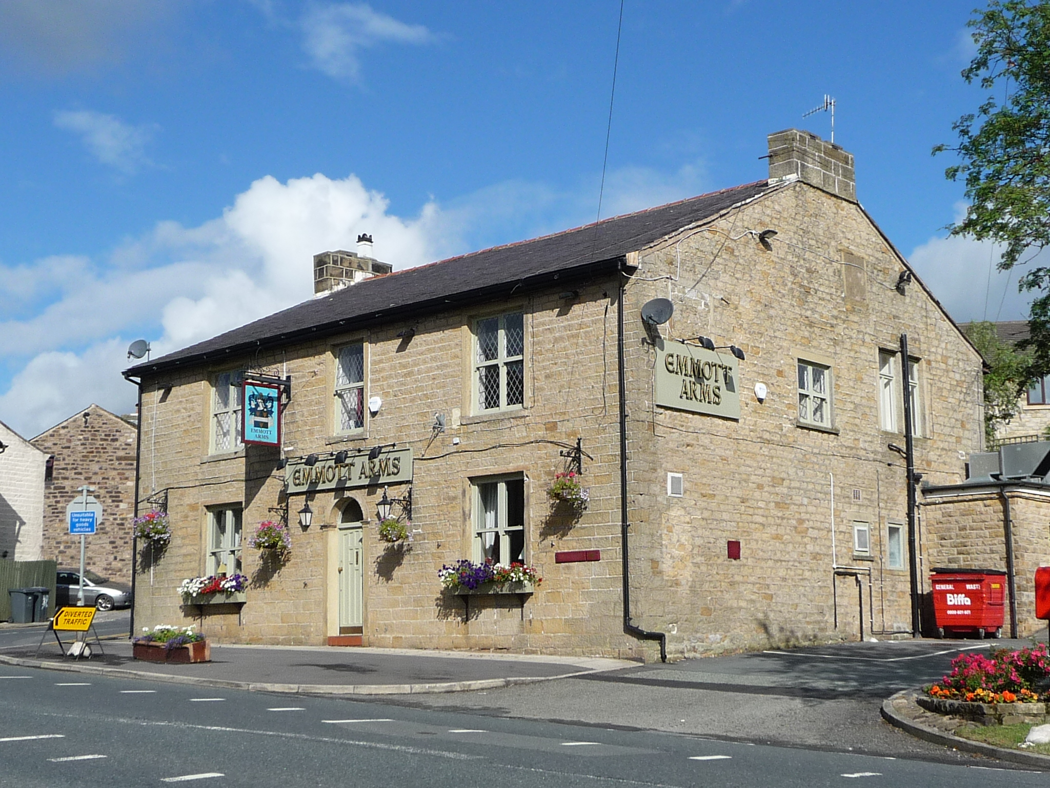
Copy Wood Images

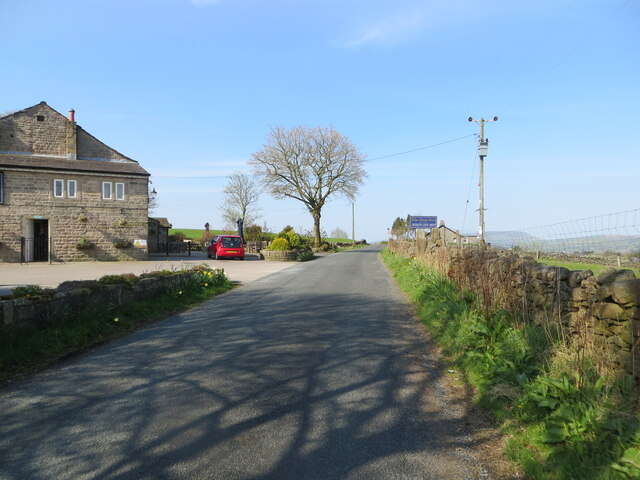
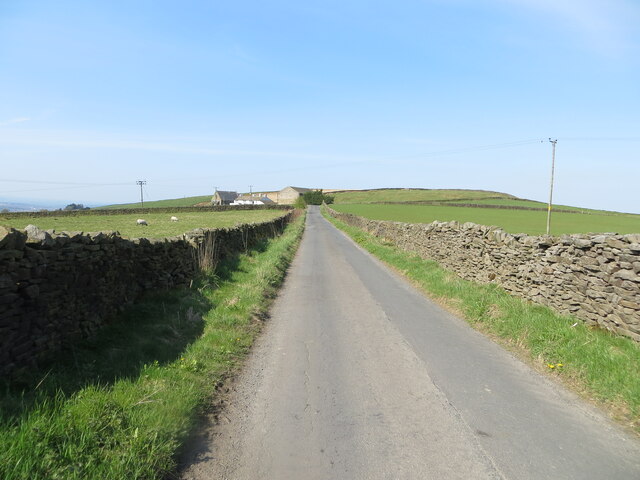
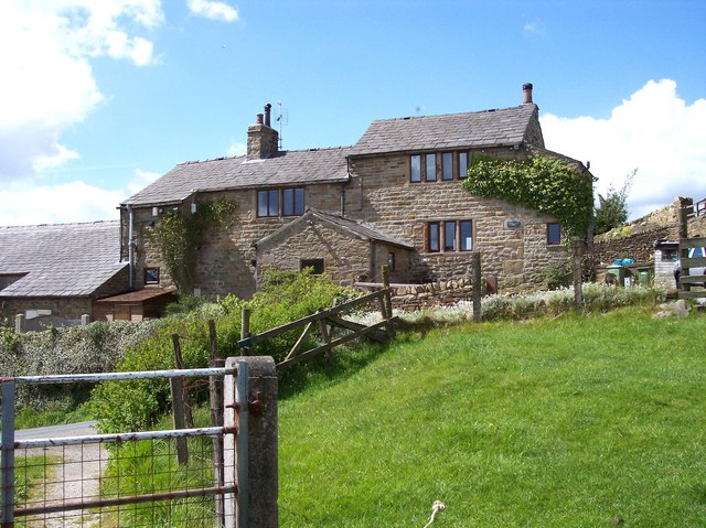
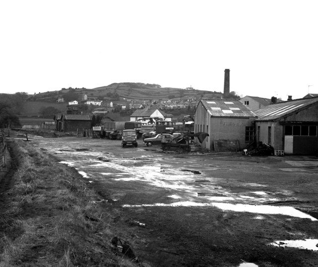
Images are sourced within 2km of 53.882152/-2.1278681 or Grid Reference SD9142. Thanks to Geograph Open Source API. All images are credited.

Field edge footpath near to Laneshaw Bridge Looking north-eastward. Footfall must be light as the only evidence of a path is on the map.
Field edge footpath near to Laneshaw Bridge
Looking north-eastward. Footfall must be light as the only evidence of a path is on the map.
Hill Lane at The Alma Inn, Laneshawbridge Looking south-westward.
Hill Lane at The Alma Inn, Laneshawbridge
Looking south-westward.
Skipton Old Road at Black Lane Ends Looking south-westward.
Skipton Old Road at Black Lane Ends
Looking south-westward.
A wall enclosed Warley Wise Lane approaching Black Lane Ends Looking south-westward.
A wall enclosed Warley Wise Lane approaching Black Lane Ends
Looking south-westward.
Ordnance Survey Cut Mark This mark can be found on the wall of Cliffe Cottage (a private dwelling) at Lane Head.
The recorded details give a height of 229.5519 metres above sea level.
For more detail see : <span class="nowrap"><a title="https://www.bench-marks.org.uk/bm66174" rel="nofollow ugc noopener" href="https://www.bench-marks.org.uk/bm66174">Link</a><img style="margin-left:2px;" alt="External link" title="External link - shift click to open in new window" src="https://s1.geograph.org.uk/img/external.png" width="10" height="10"/></span>
Ordnance Survey Cut Mark
This mark can be found on the wall of Cliffe Cottage (a private dwelling) at Lane Head. The recorded details give a height of 229.5519 metres above sea level. For more detail see : LinkExternal link
Bridleway gate at field boundary Bridleway gate at field boundary on the Pennine bridleway / Pendle way above Kelbrook
Bridleway gate at field boundary
Bridleway gate at field boundary on the Pennine bridleway / Pendle way above Kelbrook
Pennine Bridleway / Pendle Way above Kelbrook Bridleway to the south west of Harden Old Barn
Pennine Bridleway / Pendle Way above Kelbrook
Bridleway to the south west of Harden Old Barn
Farmhouse at Moss Houses
Road junction on Cob Lane
Noyna End Farmhouse
Noyna End Farmhouse
Field path above Lancashire Gill The Gill flows in a small ravine below path on right
Field path above Lancashire Gill
The Gill flows in a small ravine below path on right
Field path above Lancashire Gill ravine on left
Blue Bell Farm The local area was also called Blue Bell.
Blue Bell Farm
The local area was also called Blue Bell.
Castle Road, Colne Seen from its end at Skipton Old Road. The silhouette of Pendle is just visible to the left where the sun is shining through the clouds.
Castle Road, Colne
Seen from its end at Skipton Old Road. The silhouette of Pendle is just visible to the left where the sun is shining through the clouds.
Colne Golf Club Situated out of the town on Skipton Old Road.
Colne Golf Club
Situated out of the town on Skipton Old Road.
The entrance to New House Farm Off Skipton Old Road. The hill behind is called Great Edge, which is overstating it a little.
The entrance to New House Farm
Off Skipton Old Road. The hill behind is called Great Edge, which is overstating it a little.
Near Salter Syke Farm Viewed from Skipton Old Road.
Near Salter Syke Farm
Viewed from Skipton Old Road.
Alma Inn, Laneshaw Bridge It used to be a traditional pub but has been transformed into a restaurant. It has a large car park and its advertising boards are seen on many local roads. It did have a couple of good beers.
Alma Inn, Laneshaw Bridge
It used to be a traditional pub but has been transformed into a restaurant. It has a large car park and its advertising boards are seen on many local roads. It did have a couple of good beers.
Show me another place!

Copy Wood is located at Grid Ref: SD9142 (Lat: 53.882152, Lng: -2.1278681)

Administrative County: Lancashire

District: Pendle

Police Authority: Lancashire

What 3 Words

///kind.cured.galleries. Near Foulridge, Lancashire

Nearby Locations

Copy Wood Duncan Wood

Related Wikis

Noyna Hill

Noyna Hill (sometimes called Noyna or Noyna Rock/s) is a hill in the Pennine range in Pendle, Lancashire, England. It is a mile east of Foulridge and it...

Kelbrook

Kelbrook is a village in the civil parish of Kelbrook and Sough, Borough of Pendle, in Lancashire, England. It lies on the A56 road between Colne and Earby...

Laneshaw Bridge

Laneshawbridge (otherwise Laneshaw Bridge) is a village and civil parish in the Borough of Pendle in England. The population of the civil parish at the...

Kelbrook and Sough

Kelbrook and Sough is a civil parish in the Pendle district of Lancashire, England. It has a population of 1,008, and contains the village of Kelbrook...

Nearby Amenities

Located within 500m of 53.882152,-2.1278681
Barrier: stile
Material: wood
Step Count: 5
Stile: ladder
Lat/Long: 53.8798667/-2.133248
Barrier: stile
Material: wood
Step Count: 5
Stile: ladder
Lat/Long: 53.8797174/-2.130364
Barrier: stile
Material: wood
Step Count: 1
Stile: stepover
Lat/Long: 53.8815733/-2.1287583
Barrier: stile
Material: stone
Step Count: 3
Stile: stepover
Lat/Long: 53.8822264/-2.127336
Generator Method: wind_turbine
Generator Output Electricity: yes
Generator Source: wind
Power: generator
Lat/Long: 53.8833488/-2.1238549
Generator Method: wind_turbine
Generator Output Electricity: yes
Generator Source: wind
Power: generator
Lat/Long: 53.8828469/-2.1230261
Barrier: stile
Material: wood
Step Count: 2
Stile: stepover
Lat/Long: 53.8840823/-2.1226372
The data included in this document is from www.openstreetmap.org. The data is made available under ODbL.

Have you been to Copy Wood?

Leave your review of Copy Wood below (or comments, questions and feedback).