Horseley Wood

Wood, Forest in Northumberland

England

Horseley Wood

Farmland, gorse and Laverick Plantation The line of the Stanegate, the Roman road from Corstopitum (Corbridge) <a title="https://www.geograph.org.uk/search.php?i=154276963&page=1" href="https://www.geograph.org.uk/search.php?i=154276963&page=1">Link</a> to Carlisle <span class="nowrap"><a title="https://en.wikipedia.org/wiki/Stanegate" rel="nofollow ugc noopener" href="https://en.wikipedia.org/wiki/Stanegate">Link</a><img style="margin-left:2px;" alt="External link" title="External link - shift click to open in new window" src="https://s1.geograph.org.uk/img/external.png" width="10" height="10"/></span> , runs in the valley bottom in the lower part of the photo, roughly indicated by the long shadow (of a large tree on a field boundary out of sight to the right).
Farmland, gorse and Laverick Plantation Credit: Mike Quinn

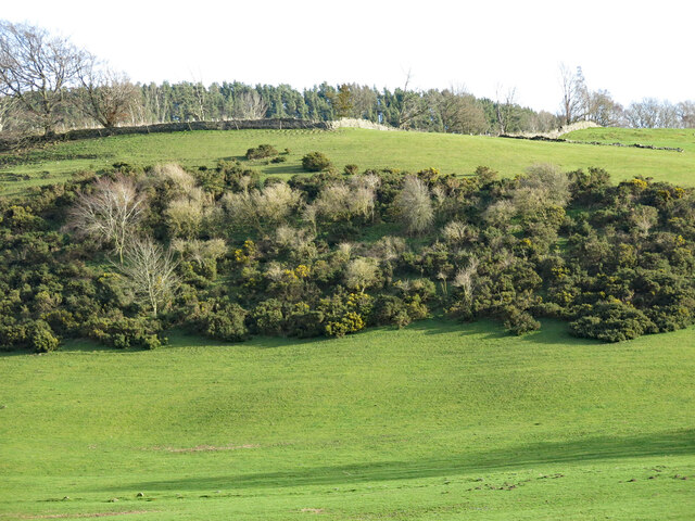
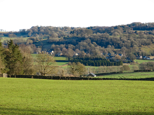
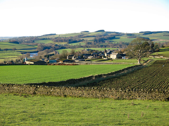
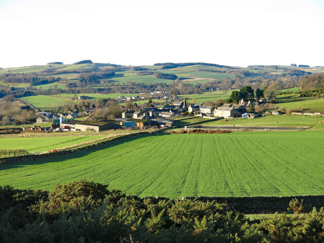
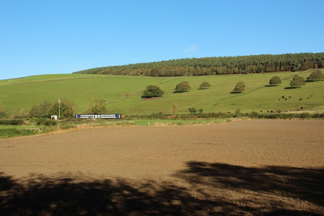
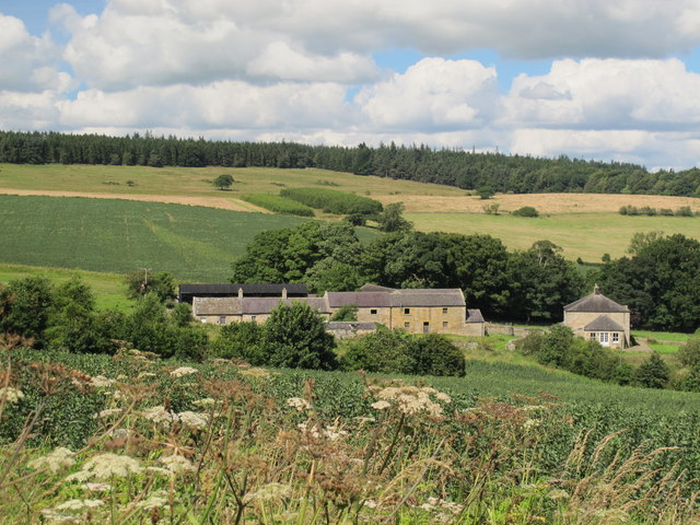
Horseley Wood is a charming woodland located in the county of Northumberland, England. Covering an area of approximately 100 acres, it is nestled in the heart of the beautiful Northumberland National Park. The woodland boasts a diverse range of tree species, including oak, ash, birch, and beech, creating a picturesque landscape that is a haven for nature enthusiasts.

The wood is home to a variety of wildlife, with numerous bird species, mammals, and insects found within its boundaries. Visitors can expect to spot woodland birds such as robins, blue tits, and woodpeckers, as well as mammals like squirrels, rabbits, and even the occasional deer. The peaceful atmosphere and tranquil surroundings make Horseley Wood a popular spot for birdwatching and nature walks.

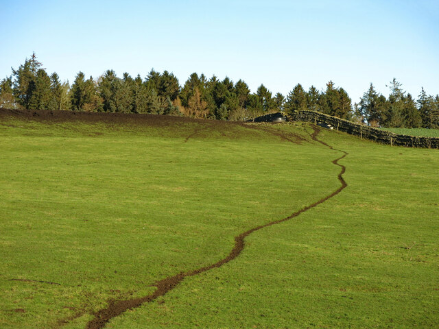
The wood is crisscrossed by a network of well-maintained footpaths, allowing visitors to explore its enchanting beauty. These pathways lead visitors through the heart of the woodland, offering glimpses of its ancient trees and providing opportunities for peaceful strolls amidst nature.

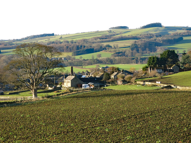
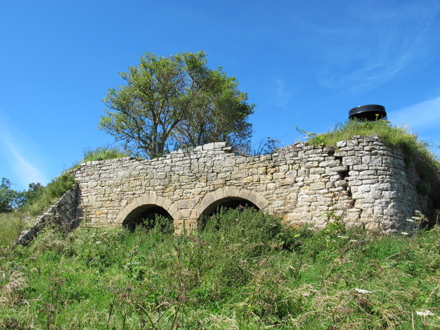
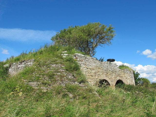
Horseley Wood is also known for its historical significance, with remnants of a medieval settlement found within its boundaries. Archaeological discoveries in the area have revealed evidence of human activity dating back thousands of years, providing a fascinating glimpse into the region's past.

Overall, Horseley Wood in Northumberland is a captivating woodland that offers a delightful escape from the hustle and bustle of everyday life. Its natural beauty, abundant wildlife, and rich history make it a must-visit destination for nature lovers and history enthusiasts alike.

If you have any feedback on the listing, please let us know in the comments section below.

Horseley Wood Images

Images are sourced within 2km of 55.006235/-2.1444183 or Grid Reference NY9067. Thanks to Geograph Open Source API. All images are credited.

Farmland, gorse and Laverick Plantation The line of the Stanegate, the Roman road from Corstopitum (Corbridge) <a title="https://www.geograph.org.uk/search.php?i=154276963&page=1" href="https://www.geograph.org.uk/search.php?i=154276963&page=1">Link</a> to Carlisle <span class="nowrap"><a title="https://en.wikipedia.org/wiki/Stanegate" rel="nofollow ugc noopener" href="https://en.wikipedia.org/wiki/Stanegate">Link</a><img style="margin-left:2px;" alt="External link" title="External link - shift click to open in new window" src="https://s1.geograph.org.uk/img/external.png" width="10" height="10"/></span> , runs in the valley bottom in the lower part of the photo, roughly indicated by the long shadow (of a large tree on a field boundary out of sight to the right).
Farmland, gorse and Laverick Plantation
The line of the Stanegate, the Roman road from Corstopitum (Corbridge) Link to Carlisle LinkExternal link , runs in the valley bottom in the lower part of the photo, roughly indicated by the long shadow (of a large tree on a field boundary out of sight to the right).
Farmland west of Wall
Sheep trod on pasture south of Whinnyhill Plantations
Farmland above Fourstones
Farmland above Fourstones (2)
Farmland above Fourstones (3)
Farmland southeast of Tilesheds Wood
The River South Tyne at Fourstones Looking downstream along the River South Tyne at Fourstones. A fisherman is wading in to the river from the southern bank.
The River South Tyne at Fourstones
Looking downstream along the River South Tyne at Fourstones. A fisherman is wading in to the river from the southern bank.
Farmland east of Fourstones A pastoral landscape on the northern bank of the River South Tyne to the east of Fourstones.
Farmland east of Fourstones
A pastoral landscape on the northern bank of the River South Tyne to the east of Fourstones.
Arable field beside the River South Tyne An arable field on the northern bank of the River South Tyne.
Arable field beside the River South Tyne
An arable field on the northern bank of the River South Tyne.
Footpath alongside the River South Tyne A well used footpath on the northern side of the River South Tyne.
Footpath alongside the River South Tyne
A well used footpath on the northern side of the River South Tyne.
Cultivated arable field A recently cultivated arable field beside the River South Tyne. A Northern service travelling from Newcastle to Carlisle is travelling along the railway line which forms the far boundary of the field.
Cultivated arable field
A recently cultivated arable field beside the River South Tyne. A Northern service travelling from Newcastle to Carlisle is travelling along the railway line which forms the far boundary of the field.
Lime kiln near Park Shield (2) See also <a href="https://www.geograph.org.uk/photo/1076328">NY8968 : Lime kiln near Park Shield</a>.
Lime kiln near Park Shield (2)
Lime kiln near Park Shield (3) See also <a href="https://www.geograph.org.uk/photo/1076328">NY8968 : Lime kiln near Park Shield</a>.
Lime kiln near Park Shield (3)
Farmland and woodland around Park Shield Photo taken from near the <a href="https://www.geograph.org.uk/photo/1076328">NY8968 : Lime kiln near Park Shield</a>.
Farmland and woodland around Park Shield
Photo taken from near the NY8968 : Lime kiln near Park Shield.
Fourstones The Carlisle to Newcastle railway line at Fourstones.
Fourstones
The Carlisle to Newcastle railway line at Fourstones.
Bungalow, Fourstones
Minor road heading east out of Fourstones
Show me another place!

Horseley Wood is located at Grid Ref: NY9067 (Lat: 55.006235, Lng: -2.1444183)

Unitary Authority: Northumberland

Police Authority: Northumbria

What 3 Words

///snuggled.loft.drivers. Near Wall, Northumberland

Related Wikis

Wall railway station

Wall railway station served the village of Wall, Northumberland, England from 1858 to 1955 on the Border Counties Railway. == History == The station opened...

Wall, Northumberland

Wall is a village in Northumberland, England situated to the north of Hexham close by the River North Tyne and Hadrian's Wall. The Battle of Heavenfield...

Walwick Grange

Walwick Grange is a privately owned 18th-century country house ( now a farmhouse) situated on the bank of the River North Tyne close to Hadrian's Wall...

Warden, Northumberland

Warden is a village in Northumberland, England about 2 miles (3 km) west of Hexham. The North and South Tyne meet near the village of Warden. There is...

Fourstones railway station

Fourstones is a former railway station which served the villages of Fourstones and Newbrough in Northumberland between 1837 and 1967 on the Tyne Valley...

Bridge End, Northumberland

Bridge End is a village in Northumberland, England. It is situated in Warden civil parish to the west of Hexham, on the north bank of the River South Tyne...

Chesters Bridge

Chesters Bridge was a Roman bridge over the River North Tyne at Chollerford, Northumberland, England, and adjacent to the Roman fort of Cilurnum on Hadrian...

Milecastle 27

Milecastle 27 (Low Brunton) was a milecastle of the Roman Hadrian's Wall. It was located on the line of Hadrian's Wall, approximately midway between the...

Nearby Amenities

Located within 500m of 55.006235,-2.1444183
Design: three-level
Power: tower
Lat/Long: 55.0099416/-2.1410926
Design: three-level
Power: tower
Lat/Long: 55.0102517/-2.1454459
The data included in this document is from www.openstreetmap.org. The data is made available under ODbL.

Have you been to Horseley Wood?

Leave your review of Horseley Wood below (or comments, questions and feedback).