Mardon Covert

Wood, Forest in Northumberland

England

Mardon Covert

Flodden Battlefield Monument (1513), Northumberland The Battle of Flodden, Flodden Field, or occasionally Branxton, was a battle fought on 9 September 1513 during the War of the League of Cambrai between the Kingdom of England and the Kingdom of Scotland, resulting in an English victory. The battle was fought near Branxton in the county of Northumberland in northern England, between an invading Scots army under King James IV and an English army commanded by the Earl of Surrey. In terms of troop numbers, it was the largest battle fought between the two kingdoms.

<span class="nowrap"><a title="https://en.wikipedia.org/wiki/Battle_of_Flodden" rel="nofollow ugc noopener" href="https://en.wikipedia.org/wiki/Battle_of_Flodden">Link</a><img style="margin-left:2px;" alt="External link" title="External link - shift click to open in new window" src="https://s1.geograph.org.uk/img/external.png" width="10" height="10"/></span>
Flodden Battlefield Monument (1513), Northumberland Credit: Brian Deegan

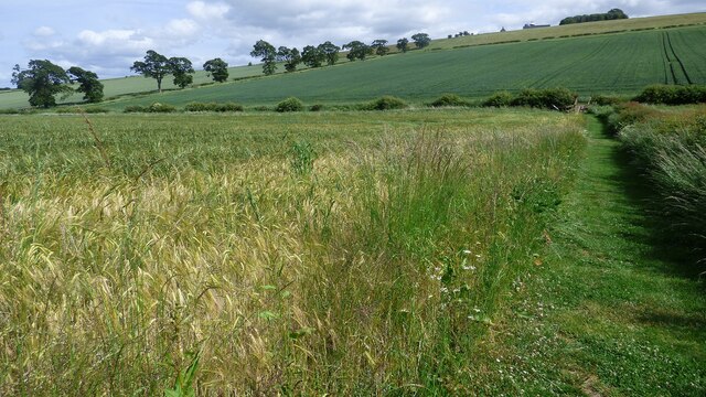
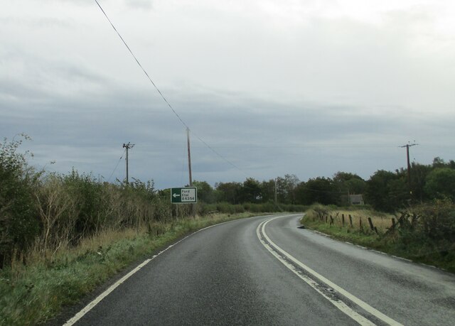
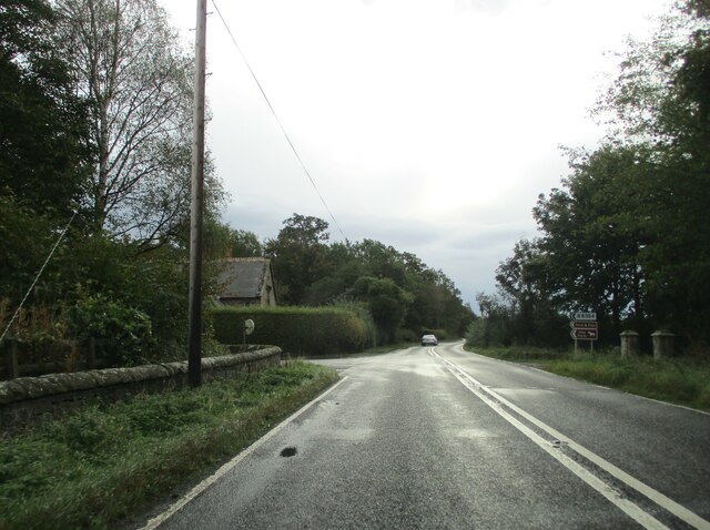
Mardon Covert is a small woodland area located in Northumberland, England. Situated near the village of Mardon, it covers an area of approximately 50 acres and is known for its dense forest and rich biodiversity.

The woodland is primarily composed of deciduous trees, including oak, beech, and ash, which create a vibrant and lush canopy during the summer months. The forest floor is carpeted with a variety of wildflowers, such as bluebells and primroses, adding to the area's natural beauty.

Mardon Covert is a haven for wildlife, providing a habitat for numerous species. It is home to various bird species, including the elusive tawny owl and the vibrant woodpecker. The woodland also supports a diverse population of mammals, including deer, badgers, and foxes. These animals thrive in the secluded and peaceful environment that Mardon Covert offers.

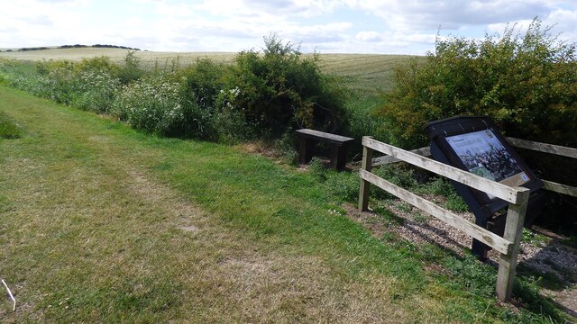
The woodland is popular among nature enthusiasts, who visit to enjoy its tranquility and explore the numerous walking trails that wind through the trees. These trails offer visitors the opportunity to immerse themselves in the natural surroundings and observe the diverse flora and fauna that inhabit the area.

Mardon Covert is managed by the local authorities, who ensure its conservation and protection. This ensures that the woodland remains a thriving ecosystem, preserving its natural beauty for future generations to enjoy. Whether it is for a leisurely stroll, birdwatching, or simply connecting with nature, Mardon Covert offers a serene and picturesque setting for all who visit.

If you have any feedback on the listing, please let us know in the comments section below.

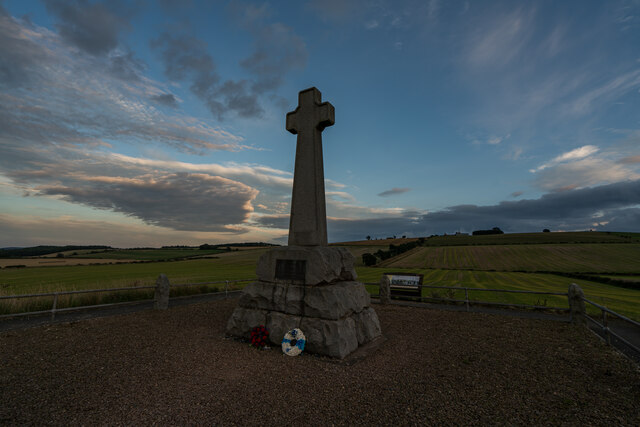
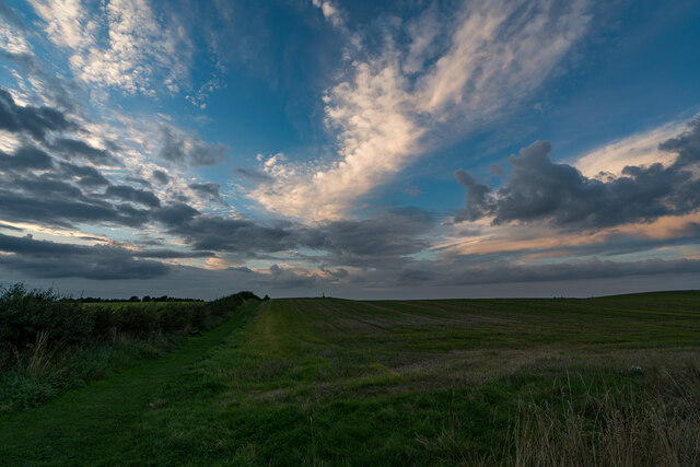
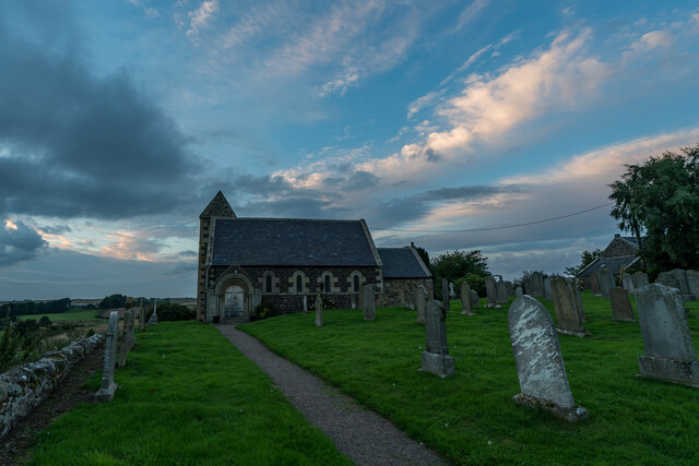
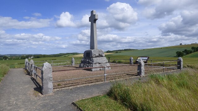
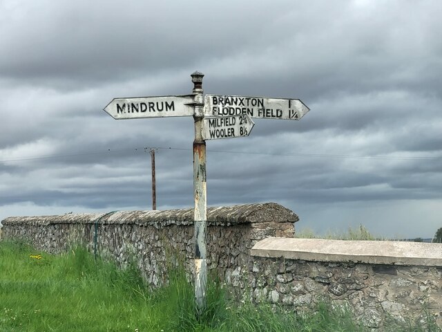
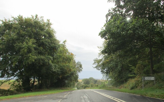
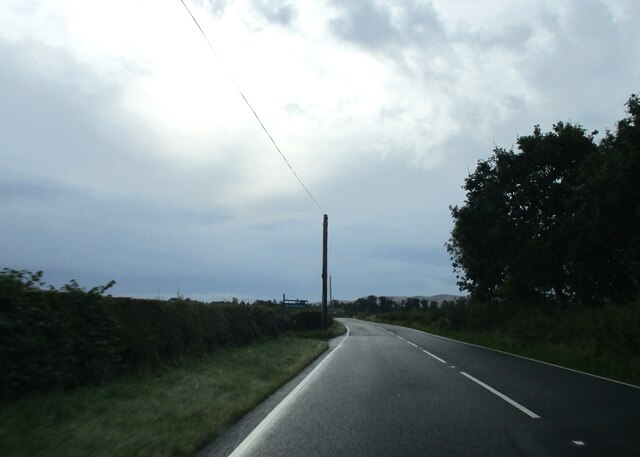
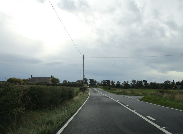
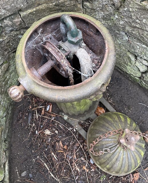
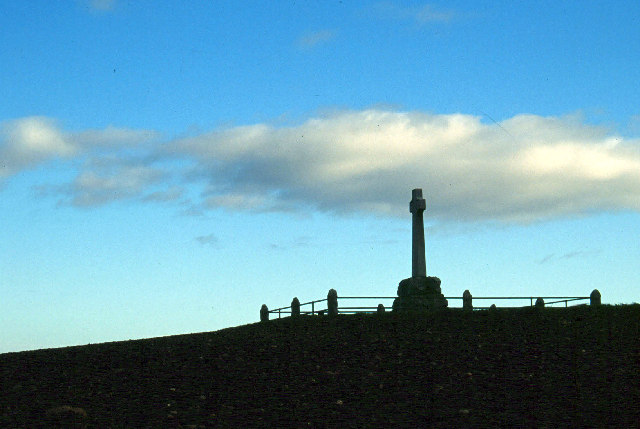
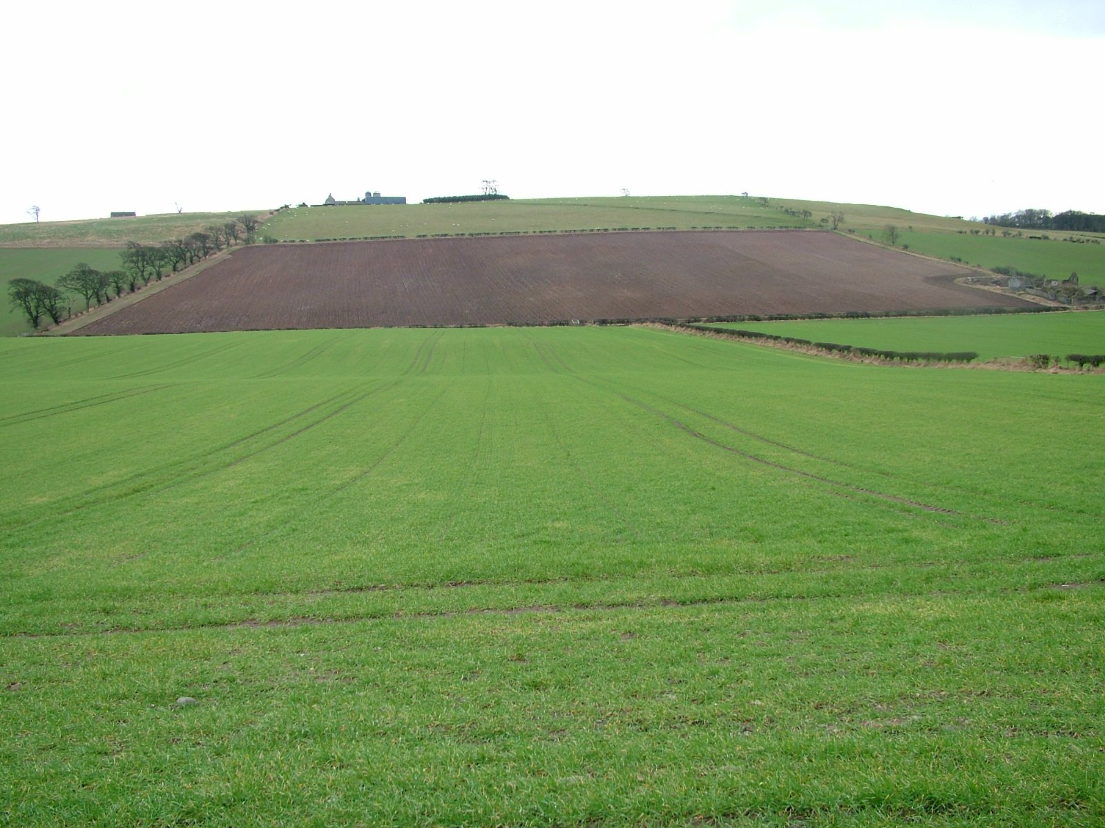
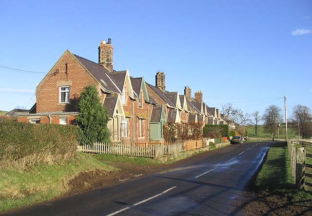
Mardon Covert Images

Images are sourced within 2km of 55.623163/-2.1466979 or Grid Reference NT9036. Thanks to Geograph Open Source API. All images are credited.

Flodden Battlefield Monument (1513), Northumberland The Battle of Flodden, Flodden Field, or occasionally Branxton, was a battle fought on 9 September 1513 during the War of the League of Cambrai between the Kingdom of England and the Kingdom of Scotland, resulting in an English victory. The battle was fought near Branxton in the county of Northumberland in northern England, between an invading Scots army under King James IV and an English army commanded by the Earl of Surrey. In terms of troop numbers, it was the largest battle fought between the two kingdoms.

<span class="nowrap"><a title="https://en.wikipedia.org/wiki/Battle_of_Flodden" rel="nofollow ugc noopener" href="https://en.wikipedia.org/wiki/Battle_of_Flodden">Link</a><img style="margin-left:2px;" alt="External link" title="External link - shift click to open in new window" src="https://s1.geograph.org.uk/img/external.png" width="10" height="10"/></span>
Flodden Battlefield Monument (1513), Northumberland
The Battle of Flodden, Flodden Field, or occasionally Branxton, was a battle fought on 9 September 1513 during the War of the League of Cambrai between the Kingdom of England and the Kingdom of Scotland, resulting in an English victory. The battle was fought near Branxton in the county of Northumberland in northern England, between an invading Scots army under King James IV and an English army commanded by the Earl of Surrey. In terms of troop numbers, it was the largest battle fought between the two kingdoms. LinkExternal link
Battle Ground Flodden (1513) Looking back up the hill to the monument. This would have been marsh ground and very difficult to cross.
Battle Ground Flodden (1513)
Looking back up the hill to the monument. This would have been marsh ground and very difficult to cross.
St Paul's Church, Branxton
Battle of Flodden Field Monument <span class="nowrap"><a title="https://www.flodden1513ecomuseum.org/places/local/flodden-field" rel="nofollow ugc noopener" href="https://www.flodden1513ecomuseum.org/places/local/flodden-field">Link</a><img style="margin-left:2px;" alt="External link" title="External link - shift click to open in new window" src="https://s1.geograph.org.uk/img/external.png" width="10" height="10"/></span>
Battle of Flodden Field Monument
Flodden Field Where barley now grows there once was a bog that swallowed up an army.
Flodden Field
Where barley now grows there once was a bog that swallowed up an army.
Flodden Field At this spot James IV of Scotland was killed.
Flodden Field
At this spot James IV of Scotland was killed.
Branxton. Northumberland St Paul's Church, Branxton.
Branxton. Northumberland
St Paul's Church, Branxton.
Stock Law, Northumberland Looking southeast across Stock Law. In the distance can be seen the Flodden Field Memorial.
Stock Law, Northumberland
Looking southeast across Stock Law. In the distance can be seen the Flodden Field Memorial.
Direction Sign – Signpost at Branxtonmoor Located on the north side of the T junction at Branxtonmoor in Branxton parish. 3 arms and cap finial. See also <a title="https://www.geograph.org.uk/photo/6559125" href="https://www.geograph.org.uk/photo/6559125">Link</a> and <a title="https://www.geograph.org.uk/photo/3647184" href="https://www.geograph.org.uk/photo/3647184">Link</a>.

Milestone Society National ID: NB_NT8935
Direction Sign – Signpost at Branxtonmoor
Located on the north side of the T junction at Branxtonmoor in Branxton parish. 3 arms and cap finial. See also Link and Link. Milestone Society National ID: NB_NT8935
Access  road  to  Crookham  Eastfield  farm  from  A697
Access road to Crookham Eastfield farm from A697
Access  track  to  Mount  Pleasant  farm  from  A697 Just before telegraph post, farm name sign on post
Access track to Mount Pleasant farm from A697
Just before telegraph post, farm name sign on post
Rooftop  to  left  Fishers  Steads  on  A697  southbound The minor road junction to the right will take you to Branxton Moor
Rooftop to left Fishers Steads on A697 southbound
The minor road junction to the right will take you to Branxton Moor
Approaching  Ford  and  Etal  junction  on  A697
Approaching Ford and Etal junction on A697
Junction  of  B6354  to  Ford  and  Etal.  Flodden  Lodge To the right the gateposts of a carriageway to Sybil's Well on Flodden Hill
Junction of B6354 to Ford and Etal. Flodden Lodge
To the right the gateposts of a carriageway to Sybil's Well on Flodden Hill
Cast iron village water pillar Complete with attached cup but not functioning; the handle is seized up. Same design as the one in Branxton and similar to ones in  Cropton, North Yorkshire.

<a href="https://www.geograph.org.uk/photo/3987860">NT8937 : Drinking Fountain</a>

<a href="https://www.geograph.org.uk/photo/2368160">SE7588 : Old pump and water trough</a>
Cast iron village water pillar
Complete with attached cup but not functioning; the handle is seized up. Same design as the one in Branxton and similar to ones in Cropton, North Yorkshire. NT8937 : Drinking Fountain SE7588 : Old pump and water trough
Cast iron village water pillar Complete with attached cup but not functioning; the handle is seized up.  It's actually a self closing tap rather than a pump, designed to deliver water from a pressurised supply.  Grade II listed, manufactured by Glenfield and Kennedy of Kilmarnock.  See also

<a href="https://www.geograph.org.uk/photo/7434916">NT9138 : Cast iron village water pillar</a>
Cast iron village water pillar
Complete with attached cup but not functioning; the handle is seized up. It's actually a self closing tap rather than a pump, designed to deliver water from a pressurised supply. Grade II listed, manufactured by Glenfield and Kennedy of Kilmarnock. See also NT9138 : Cast iron village water pillar
Cast iron village water pillar The inner workings of the pillar.  It's simply a tap on the mains water supply.  A weight on the end of the chain turns it off automatically when the rotated tap handle is released.  Sadly this one is not connected to water any more .
Cast iron village water pillar
The inner workings of the pillar. It's simply a tap on the mains water supply. A weight on the end of the chain turns it off automatically when the rotated tap handle is released. Sadly this one is not connected to water any more .
Flodden Memorial This monument commemorates the Battle of Flodden Field in 1513.
Flodden Memorial
This monument commemorates the Battle of Flodden Field in 1513.
Show me another place!

Mardon Covert is located at Grid Ref: NT9036 (Lat: 55.623163, Lng: -2.1466979)

Unitary Authority: Northumberland

Police Authority: Northumbria

What 3 Words

///gradually.roadmap.breezes. Near Ford, Northumberland

Related Wikis

Branxton, Northumberland

Branxton is a village and civil parish in northern Northumberland, England. It lies about 3 miles (5 km) from the England-Scotland border and about 4 miles...

Crookham, Northumberland

Crookham is a village on the River Till in Northumberland, in England. It is situated approximately 8 km (5.0 mi) to the east of Coldstream and 14 km...

Battle of Flodden

The Battle of Flodden, Flodden Field, or occasionally Branxton or Brainston Moor was a battle that was fought on 9 September 1513 during the War of the...

Howtel

Howtel is a village and former civil parish, now in the parish of Kilham, in Northumberland, England about 8 miles (13 km) northwest of Wooler. The name...

Pallinsburn House

Pallinsburn House is an 18th-century country house situated at Ford, Northumberland. It is a Grade II* listed building. The house was built about 1763...

Ford Forge

Ford Forge (Ford Mill), Northumberland, England is located on the River Till between the villages of Ford and Etal. Buildings housing a water-powered forge...

Heatherslaw Mill

Heatherslaw Mill is a water mill situated on the Ford and Etal Estate, 7 miles north of the town of Wooler in the English county of Northumberland. It...

Etal Castle

Etal Castle is a ruined medieval fortification in the village of Etal, Northumberland, England. It was built around 1341 by Robert Manners, and comprised...

Nearby Amenities

Located within 500m of 55.623163,-2.1466979
Blinkbonny
Place: hamlet
Lat/Long: 55.6213627/-2.1427702
Callerburn
Place: hamlet
Lat/Long: 55.6235772/-2.1497528
The data included in this document is from www.openstreetmap.org. The data is made available under ODbL.

Have you been to Mardon Covert?

Leave your review of Mardon Covert below (or comments, questions and feedback).