Calfway Wood

Wood, Forest in Gloucestershire Stroud

England

Calfway Wood

Lane to Througham Slad One of many such dead-end lanes in the Cotswolds.
Lane to Througham Slad Credit: Jonathan Billinger

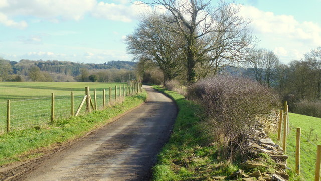
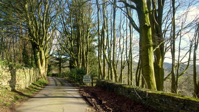
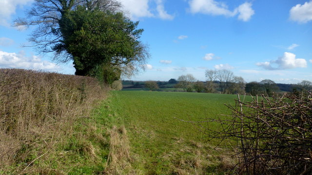
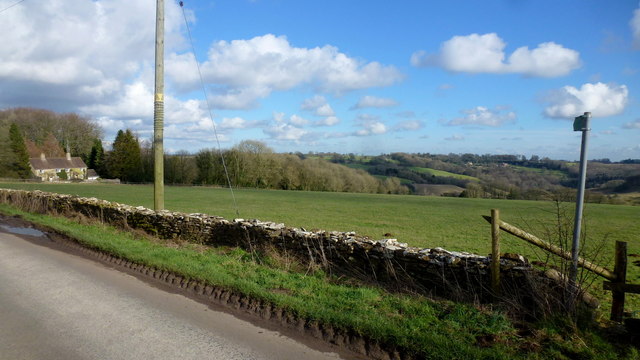
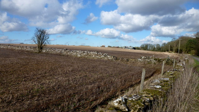
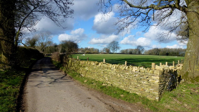
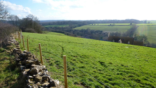
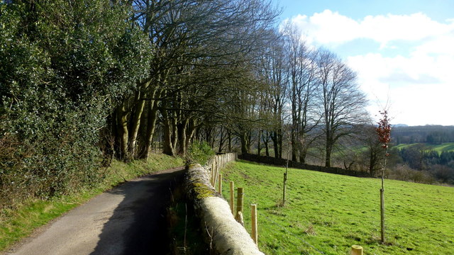
Calfway Wood is a picturesque woodland located in the county of Gloucestershire, England. Situated in the heart of the Forest of Dean, this enchanting wood covers an area of approximately 200 acres, offering visitors a tranquil and immersive experience in nature.

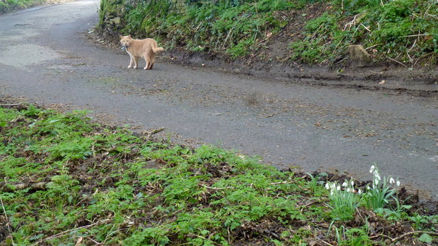
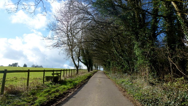
The woodland is predominantly made up of a variety of deciduous trees, including oak, beech, and birch, creating a diverse and vibrant ecosystem. The dense canopy provides ample shade and shelter, making it an ideal habitat for a range of wildlife species, such as deer, squirrels, and various bird species.

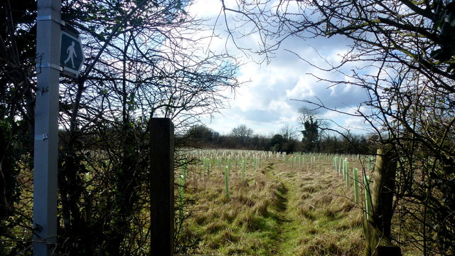
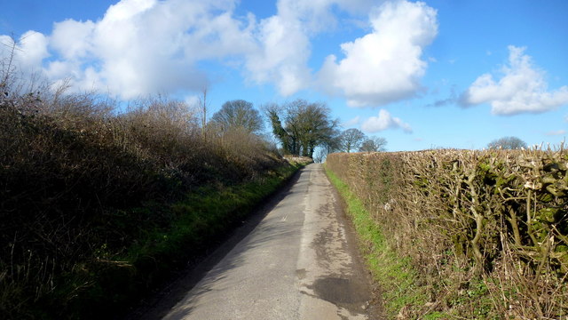
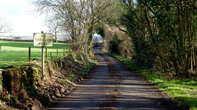
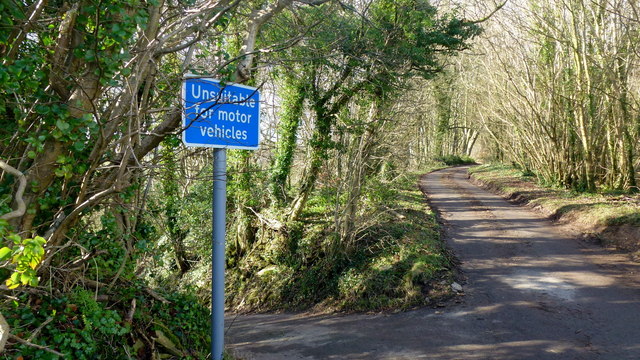
Calfway Wood boasts a network of well-maintained footpaths that wind through the forest, allowing visitors to explore its hidden treasures. The paths are lined with an array of wildflowers, adding splashes of color to the lush green surroundings. As visitors meander through the woodland, they may stumble upon babbling brooks and small streams that add to the serene atmosphere.

Nature enthusiasts can indulge in the captivating sights and sounds of the woodland, while also enjoying recreational activities such as hiking, birdwatching, and photography. The wood is a popular destination for families, offering a safe and idyllic setting for picnics and outdoor adventures.

Calfway Wood, with its natural beauty and peaceful ambiance, provides a welcome escape from the hustle and bustle of everyday life. Whether it's a leisurely walk or an exploration of the forest's hidden gems, this woodland is a true gem within Gloucestershire's natural landscape.

If you have any feedback on the listing, please let us know in the comments section below.

Calfway Wood Images

Images are sourced within 2km of 51.76424/-2.1347252 or Grid Reference SO9007. Thanks to Geograph Open Source API. All images are credited.

Lane to Througham Slad One of many such dead-end lanes in the Cotswolds.
Lane to Througham Slad
One of many such dead-end lanes in the Cotswolds.
The end of the lane at Througham Slad Manor According to OS mapping, the public road appears to carry on another 100m or so from this point. However our country landowners would seem to annex a bit of public property by just putting up a PRIVATE sign with NO TURNING BEYOND THIS POINT to drive home the message. No change in road surface though.
I didn't take the car any further.
The end of the lane at Througham Slad Manor
According to OS mapping, the public road appears to carry on another 100m or so from this point. However our country landowners would seem to annex a bit of public property by just putting up a PRIVATE sign with NO TURNING BEYOND THIS POINT to drive home the message. No change in road surface though. I didn't take the car any further.
Footpath east from Througham Lane Follows this field edge towards Honeycombe Farm over typical Cotswolds countryside.
Footpath east from Througham Lane
Follows this field edge towards Honeycombe Farm over typical Cotswolds countryside.
Footpath west from Througham Lane Passes through recently-planted woodland of the future.
Footpath west from Througham Lane
Passes through recently-planted woodland of the future.
Througham Lane Looking north towards The Camp.
Througham Lane
Looking north towards The Camp.
Upper Througham Farm Remnants of a pond by old farm buildings.
Upper Througham Farm
Remnants of a pond by old farm buildings.
Lanes at Througham Upper Througham Farm is to the left.
Lanes at Througham
Upper Througham Farm is to the left.
Minding his own business A ginger tom on a mid-afternoon constitutional tour around his estate.
Wild snowdrops in the bottom right of this picture.
Minding his own business
A ginger tom on a mid-afternoon constitutional tour around his estate. Wild snowdrops in the bottom right of this picture.
Througham A Cotswolds hamlet clustered around a fine stone house, Througham Court, seen ahead on the left.
The pink blossom is that of a winter-flowering cherry.
Througham
A Cotswolds hamlet clustered around a fine stone house, Througham Court, seen ahead on the left. The pink blossom is that of a winter-flowering cherry.
Dovecote gable at Througham Court An interesting historical feature on this Cotswolds building.
Dovecote gable at Througham Court
An interesting historical feature on this Cotswolds building.
Lane and stile Lane west from Througham with a short footpath heading diagonally across the field to the left.
Lane and stile
Lane west from Througham with a short footpath heading diagonally across the field to the left.
Short footpath to Througham The path leads across this field to the stile in <a href="https://www.geograph.org.uk/photo/4888965">SO9107 : Lane and stile</a>.
Short footpath to Througham
The path leads across this field to the stile in SO9107 : Lane and stile.
Cotswolds farmland Typical scene with stone walls to the west of Througham.
Cotswolds farmland
Typical scene with stone walls to the west of Througham.
No Through Road to Througham Slad The lane boasts a pre-Worboys sign.
No Through Road to Througham Slad
The lane boasts a pre-Worboys sign.
Unsuitable? I beg to differ; I was able to use this steep, narrow lane without any trouble.
Unsuitable?
I beg to differ; I was able to use this steep, narrow lane without any trouble.
Lane from Througham Slad Nice bit of new-build drystone walling here.
Lane from Througham Slad
Nice bit of new-build drystone walling here.
View over Jones Slad Farm Cotswolds house with a fine southerly aspect.
View over Jones Slad Farm
Cotswolds house with a fine southerly aspect.
Approaching Througham Slad Winter sunlight glints off the shiny grey bark of the beeches.
Approaching Througham Slad
Winter sunlight glints off the shiny grey bark of the beeches.
Show me another place!

Calfway Wood is located at Grid Ref: SO9007 (Lat: 51.76424, Lng: -2.1347252)

Administrative County: Gloucestershire

District: Stroud

Police Authority: Gloucestershire

What 3 Words

///respected.tolerates.detect. Near Chalford, Gloucestershire

Related Wikis

Bisley, Gloucestershire

Bisley is a village and former civil parish, now in the parish of Bisley-with-Lypiatt, in the Stroud district, in Gloucestershire, England, about 4 miles...

Lypiatt

Lypiatt is a small village and former civil parish, now in the parish of Miserden, in the Stroud district, in Gloucestershire, England, approximately 4...

Rough Bank, Miserden

Rough Bank, Miserden (grid reference SO907087) is a 9.2-hectare (23-acre) biological Site of Special Scientific Interest in Gloucestershire, notified in...

Battlescombe

Battlescombe is an area in the village of Bisley in Gloucestershire, England. == References ==

Bisley-with-Lypiatt

Bisley-with-Lypiatt is a civil parish in the Stroud district of Gloucestershire, England. It had a population of 2350 in 2019. It includes Bisley, Lypiatt...

The Camp, Gloucestershire

The Camp is a hamlet in the south of Gloucestershire, approximately 10 miles south of Cheltenham and 5 miles north-east of Stroud. It is in the parish...

Snows Farm Nature Reserve

Snows Farm Nature Reserve (grid reference SO887081) is a 21.3-hectare (53-acre) nature reserve in Gloucestershire. The site is listed in the ‘Stroud District...

Juniper Hill, Edgeworth

Juniper Hill, Edgeworth (SO928058 and SO928064) is an 11.25-hectare (27.8-acre) biological Site of Special Scientific Interest in Gloucestershire, notified...

Nearby Amenities

Located within 500m of 51.76424,-2.1347252
Archaeological Site: megalith
Description: Long Barrow
Historic: archaeological_site
Megalith Type: long_barrow
Source: NPE
Lat/Long: 51.7655041/-2.1305435
Calfway Farm
Landuse: farm
Note Retag: CS #48756035
Source: OS OpenData StreetView
Lat/Long: 51.7621728/-2.1304414
Natural: spring
Source: OS 1:25k
Lat/Long: 51.7640161/-2.130191
Power: pole
Lat/Long: 51.7676425/-2.1376721
Power: pole
Lat/Long: 51.7669669/-2.1366019
Power: pole
Lat/Long: 51.7677437/-2.1362291
Power: pole
Lat/Long: 51.7684243/-2.1356041
Power: pole
Lat/Long: 51.7675446/-2.1390454
Power: pole
Lat/Long: 51.766263/-2.1369962
Power: pole
Lat/Long: 51.7617693/-2.1309092
Power: pole
Lat/Long: 51.7623872/-2.1316741
Power: pole
Lat/Long: 51.7638145/-2.1335042
Power: pole
Lat/Long: 51.7631472/-2.1326566
Power: pole
Lat/Long: 51.7613355/-2.1301453
Fuel
Holbrook Garage
Addr City: Bisley
Addr Postcode: GL6 7BX
Addr Street: Calf Way
Lat/Long: 51.7654525/-2.1384703
The Greenshop Bisley
Addr City: Bisley
Addr Postcode: GL6 7BX
Addr Street: Calf Way
Shop: yes
Lat/Long: 51.7653305/-2.1379718
Power: pole
Lat/Long: 51.7611401/-2.1386915
Power: pole
Lat/Long: 51.764447/-2.1379298
Power: pole
Lat/Long: 51.7626541/-2.1388444
Power: pole
Lat/Long: 51.7640452/-2.1393111
Power: pole
Lat/Long: 51.763524/-2.1383724
Power: pole
Lat/Long: 51.7648304/-2.1365351
The data included in this document is from www.openstreetmap.org. The data is made available under ODbL.

Have you been to Calfway Wood?

Leave your review of Calfway Wood below (or comments, questions and feedback).