Crateford Wood
Wood, Forest in Staffordshire South Staffordshire
England
Crateford Wood

Crateford Wood is a charming woodland located in the county of Staffordshire, England. Covering an area of approximately 250 acres, this forested haven offers a serene retreat for nature enthusiasts and outdoor adventurers alike.
The wood is characterized by its diverse range of tree species, including majestic oak, ash, and birch trees that dominate the landscape. These towering trees provide a dense canopy, creating a cool and shaded environment even on the hottest of days. The forest floor is blanketed with a lush carpet of ferns, bluebells, and wildflowers, adding a touch of vibrant color to the woodland.
Crateford Wood is home to a variety of wildlife, making it a popular spot for nature lovers and birdwatchers. Visitors may spot elusive creatures such as deer, foxes, and badgers roaming freely within the wood. The air is often filled with the melodic songs of numerous bird species, including robins, thrushes, and woodpeckers, creating a symphony of nature's sounds.
Tranquil walking trails wind their way through Crateford Wood, allowing visitors to explore the forest at their own pace. These well-maintained paths offer a chance to immerse oneself in the peaceful ambiance of the woodland, while also providing glimpses of breathtaking views and hidden gems along the way.
Crateford Wood is a cherished natural gem in Staffordshire, attracting locals and tourists alike. Whether seeking solitude, a dose of fresh air, or a chance to connect with nature, this enchanting woodland offers a truly rejuvenating experience for all who venture into its depths.
If you have any feedback on the listing, please let us know in the comments section below.
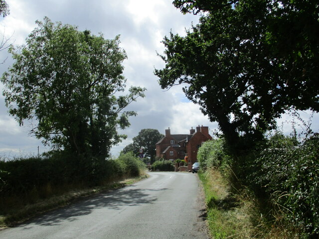
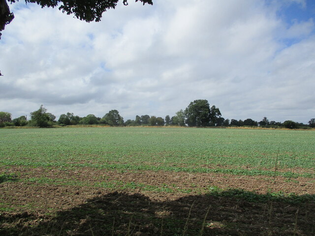
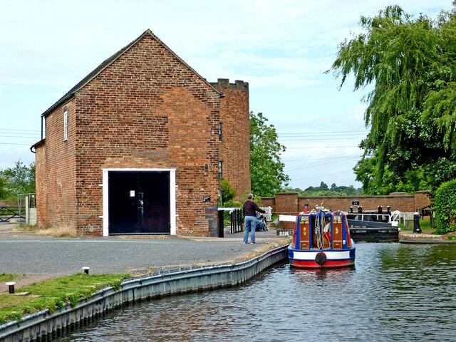
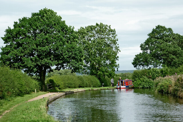
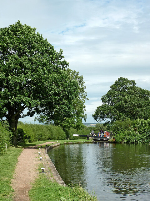
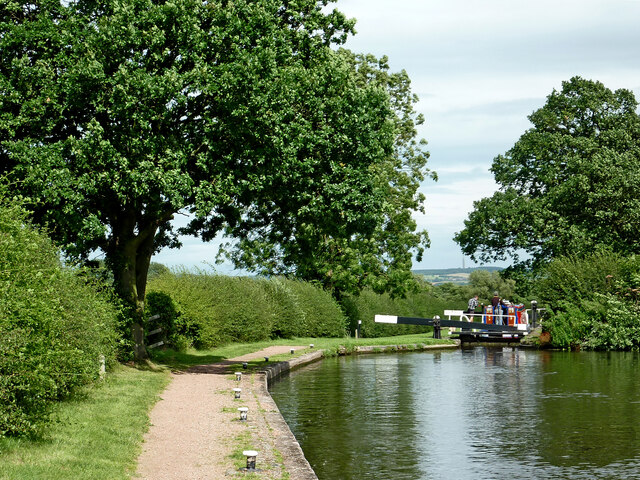
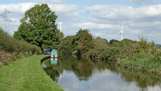
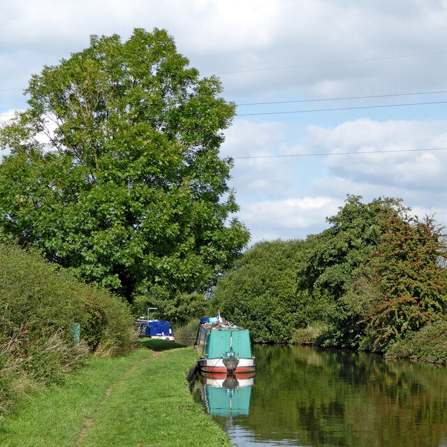
Crateford Wood Images
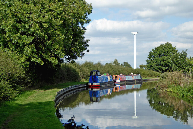
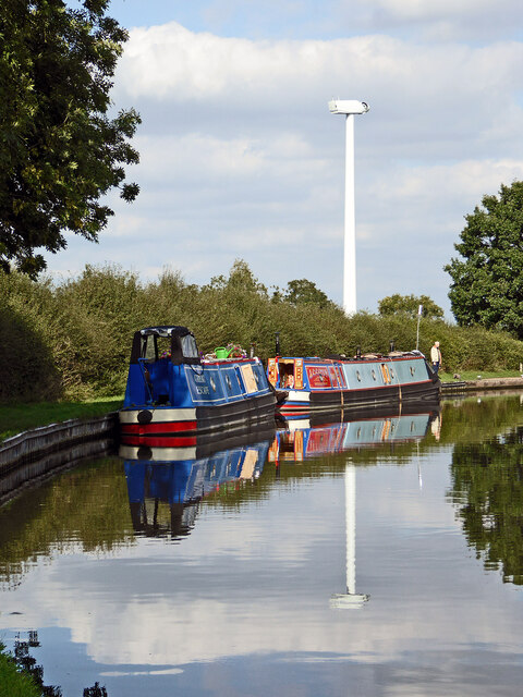
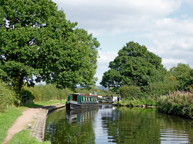
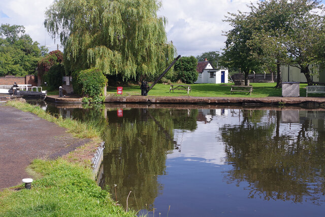
Images are sourced within 2km of 52.683552/-2.1404117 or Grid Reference SJ9009. Thanks to Geograph Open Source API. All images are credited.


Crateford Wood is located at Grid Ref: SJ9009 (Lat: 52.683552, Lng: -2.1404117)
Administrative County: Staffordshire
District: South Staffordshire
Police Authority: Staffordshire
What 3 Words
///charts.saints.speeded. Near Brewood, Staffordshire
Nearby Locations
Related Wikis

Cannock Rural District
Cannock was a rural district in Staffordshire, England from 1894 to 1974. It was created by the Local Government Act 1894, based on the Cannock rural sanitary...
Pennocrucium
Pennocrucium was a Romano-British settlement and military complex located at present day Water Eaton, just south of Penkridge, Staffordshire, with evidence...
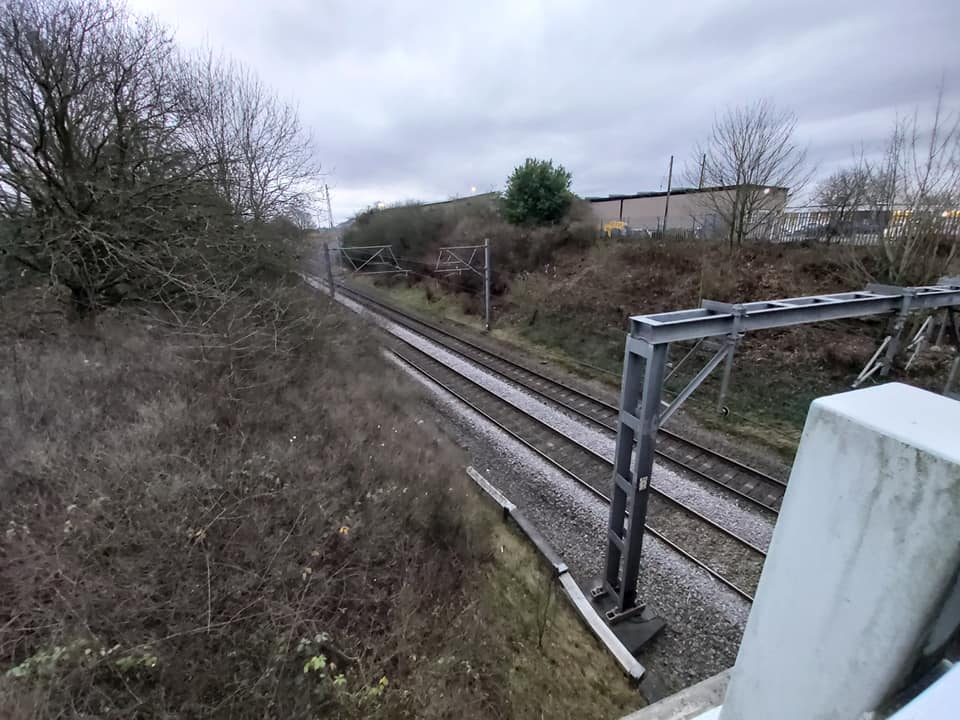
Gailey railway station
Gailey railway station was a railway station built by the Grand Junction Railway in 1837.: 29 It served the small village of Gailey, Staffordshire, 7...
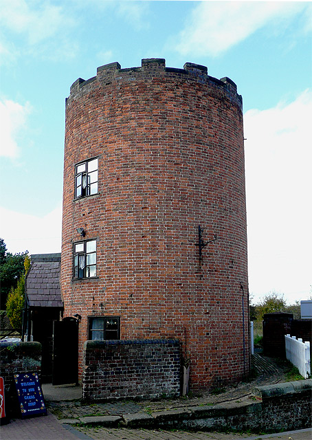
Gailey, Staffordshire
Gailey is a small village in Staffordshire, England. It is at the junction of the A5 and A449 roads, and is on the boundary of the parishes of Brewood...
Nearby Amenities
Located within 500m of 52.683552,-2.1404117Have you been to Crateford Wood?
Leave your review of Crateford Wood below (or comments, questions and feedback).